Milkmaid Shaw
Wood, Forest in Kent Sevenoaks
England
Milkmaid Shaw
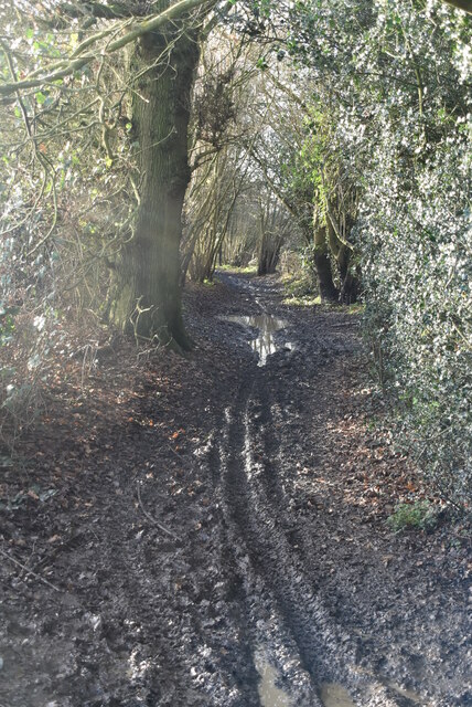
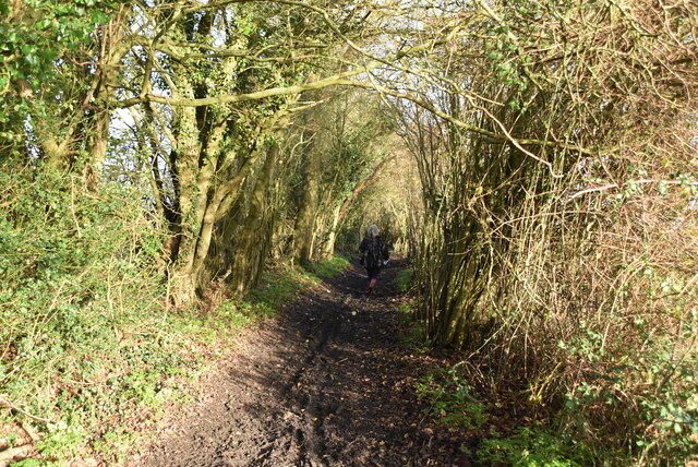
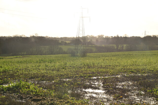
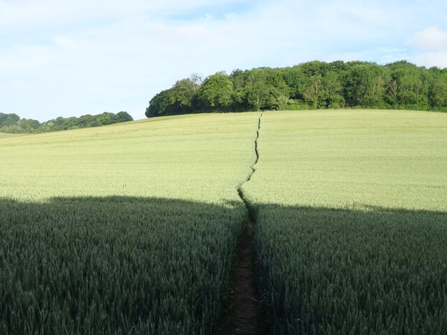
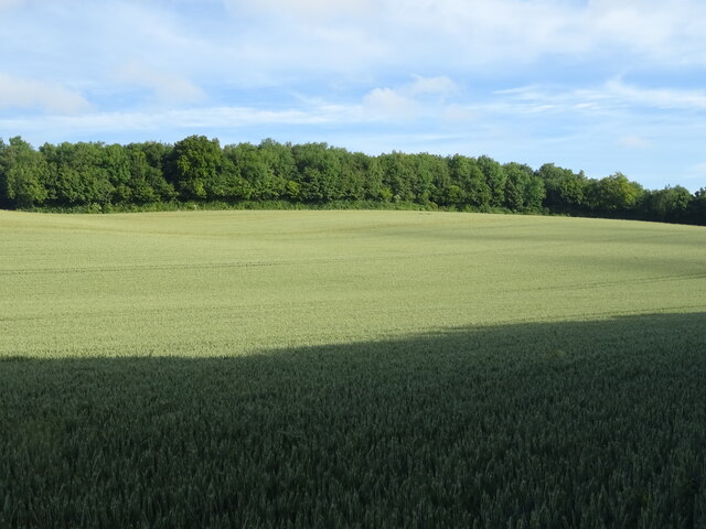
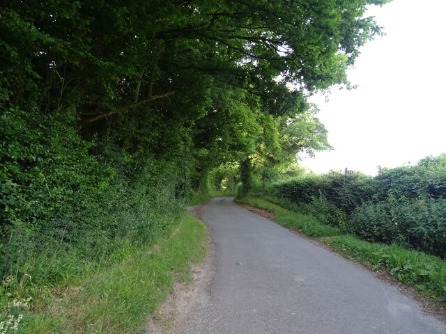
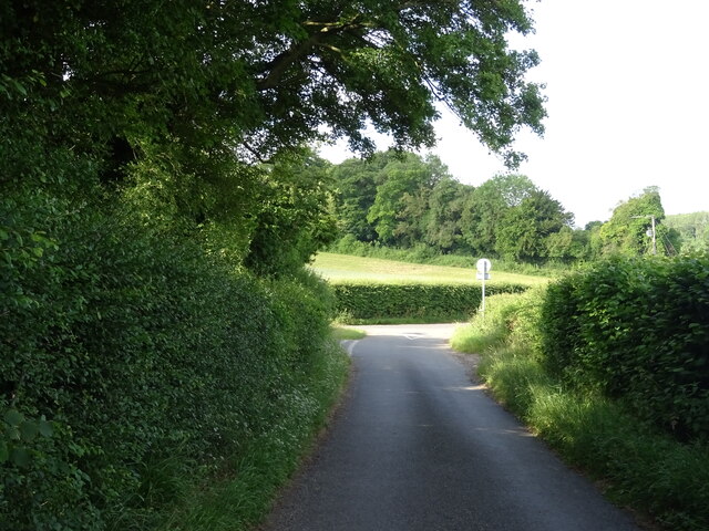
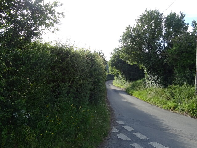
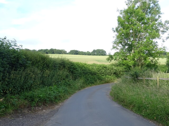
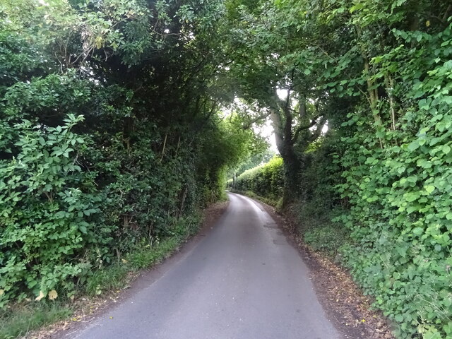
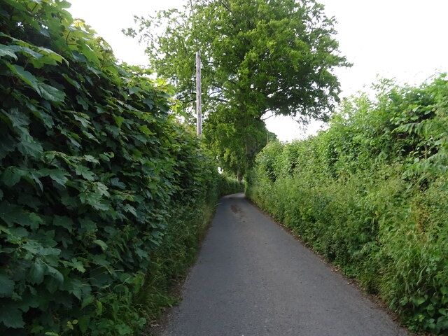
Milkmaid Shaw, located in the county of Kent, England, is a small and picturesque woodland area known for its natural beauty and tranquil atmosphere. Situated in the heart of the Kent Downs, this forest offers a serene escape from the hustle and bustle of city life.
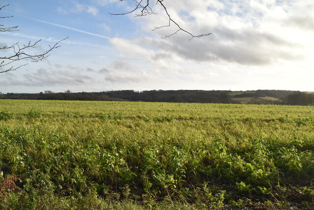
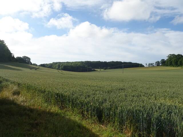
Covering an area of approximately 50 acres, Milkmaid Shaw is characterized by its dense and diverse tree population, including species such as oak, beech, and ash. The forest floor is adorned with an array of wildflowers, creating a vibrant tapestry of colors during the spring and summer months.
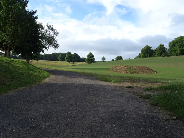
The woodland is home to a variety of wildlife, making it a popular destination for nature enthusiasts and birdwatchers. Visitors can expect to spot a range of bird species, such as woodpeckers, jays, and robins, as well as small mammals like squirrels and hedgehogs.
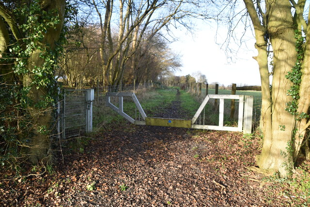
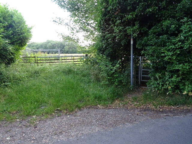
Several walking trails wind their way through Milkmaid Shaw, allowing visitors to fully immerse themselves in the natural surroundings. These paths are well-maintained and suitable for all levels of fitness, making the forest accessible to both casual strollers and avid hikers.
For those seeking a more interactive experience, the forest also offers designated picnic areas and camping spots, allowing visitors to extend their stay and fully enjoy the peaceful ambiance. Additionally, the nearby facilities offer amenities such as parking, toilets, and even a small visitor center providing information about the local flora and fauna.
Overall, Milkmaid Shaw, Kent is a haven of tranquility and natural beauty, offering visitors a chance to reconnect with nature and escape the pressures of everyday life.
If you have any feedback on the listing, please let us know in the comments section below.
Milkmaid Shaw Images
Images are sourced within 2km of 51.339261/0.31959717 or Grid Reference TQ6162. Thanks to Geograph Open Source API. All images are credited.
Milkmaid Shaw is located at Grid Ref: TQ6162 (Lat: 51.339261, Lng: 0.31959717)
Administrative County: Kent
District: Sevenoaks
Police Authority: Kent
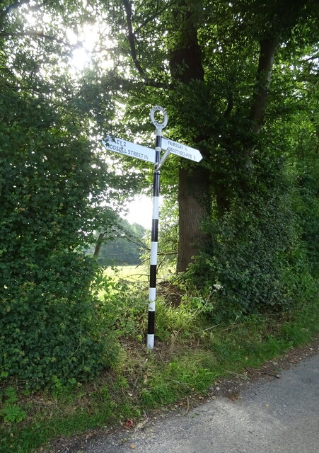
What 3 Words
///always.cute.jungle. Near Culverstone Green, Kent
Nearby Locations
Related Wikis

Stansted, Kent
Stansted (referred to in older texts as Stanstead) is a village and rural parish in the Tonbridge and Malling district of the county of Kent in the United...

Ridley, Kent
Ridley is a place and former civil parish, now in the parish of Ash-cum-Ridley, in the Sevenoaks district, in the county of Kent, England. It lies between...

Trosley Country Park
Trosley Country Park is in Trottiscliffe, near Vigo, in Kent, England. Once part of a large woodland estate then after many changes, it was passed to Kent...

Vigo Village
Vigo Village is a village and (as simply Vigo) a civil parish in the Gravesham district in Kent, England. It takes its name from a 15th-century public...
London Golf Club
The London Golf Club is a privately owned golf course located in the village of Ash, Kent, approximately 20 miles southeast of London. == History == The...
Ash, Sevenoaks District
Ash is a small village and former civil parish located in the Sevenoaks district in Kent. It shares the parish of Ash-cum-Ridley with the nearby village...
Ash-cum-Ridley
Ash-cum-Ridley is a civil parish in the Sevenoaks district of Kent, England. According to the 2001 census the parish had a population of 7,070, reducing...
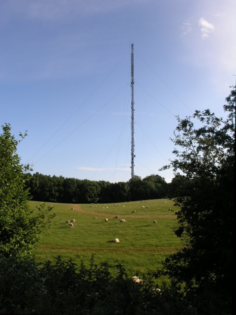
Wrotham transmitting station
The Wrotham transmitting station is located on the North Downs, close to the village of Wrotham in Kent, England and just north of the M20 motorway. Its...
Nearby Amenities
Located within 500m of 51.339261,0.31959717Have you been to Milkmaid Shaw?
Leave your review of Milkmaid Shaw below (or comments, questions and feedback).