North Elmsall
Civil Parish in Yorkshire Wakefield
England
North Elmsall
North Elmsall is a civil parish located in the metropolitan borough of Wakefield, in the county of Yorkshire, England. It is situated approximately 13 miles southeast of Leeds and 12 miles southwest of Wakefield. The village is part of the Hemsworth ward and falls within the Hemsworth parliamentary constituency.
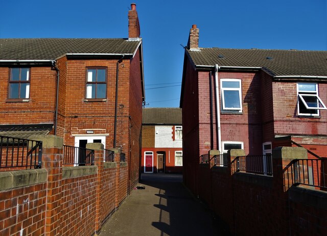
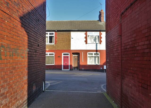
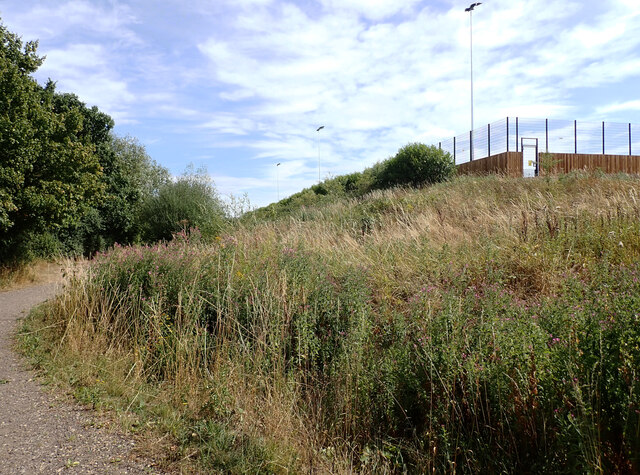
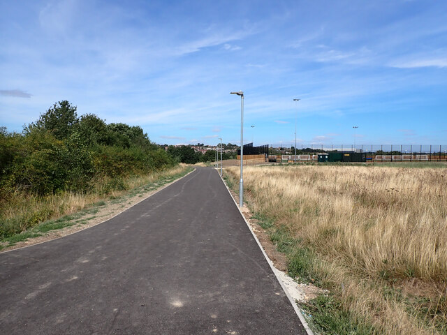
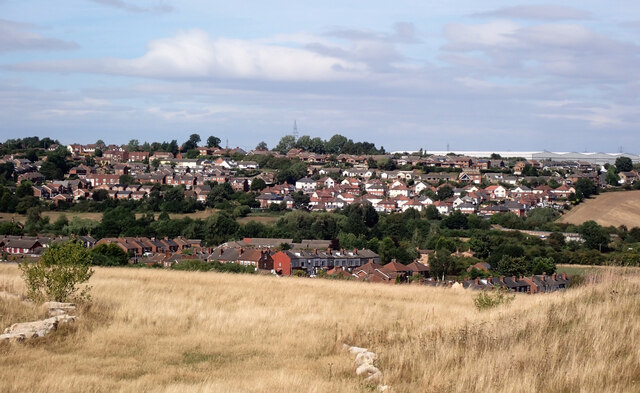
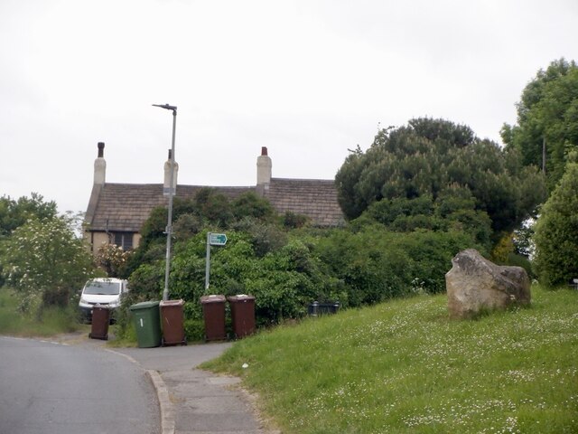
North Elmsall is a small, close-knit community with a population of around 3,000 residents. The village is surrounded by picturesque countryside, offering stunning views and a peaceful atmosphere. The area is primarily residential, with a mix of housing styles ranging from traditional stone cottages to more modern developments.
The village has a range of amenities to cater to the needs of its residents, including a primary school, local shops, a post office, and a community center. There are also several pubs and restaurants, providing options for dining out and socializing.
North Elmsall has a strong sense of community spirit, with various local groups and organizations actively involved in organizing events and activities. The village hosts an annual summer fair, which is a popular event for both residents and visitors.
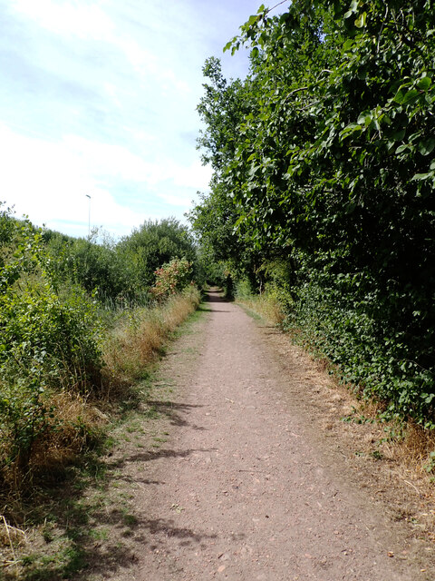
For those interested in exploring the surrounding area, there are plenty of opportunities for outdoor activities such as walking, cycling, and fishing. The nearby Hemsworth Water Park and Playworld also offer recreational facilities for families and children.
Overall, North Elmsall offers a charming rural lifestyle, with its idyllic setting, friendly community, and range of amenities making it an attractive place to live or visit.
If you have any feedback on the listing, please let us know in the comments section below.
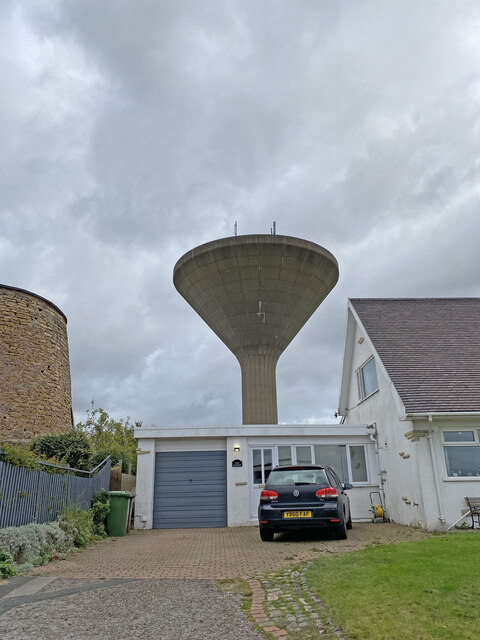
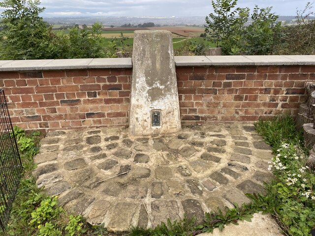
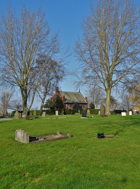
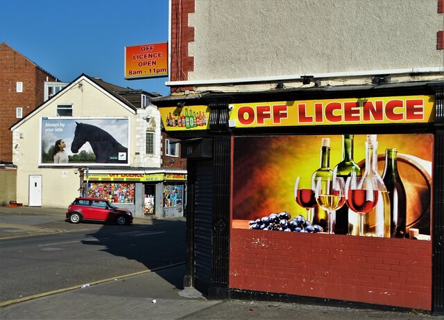
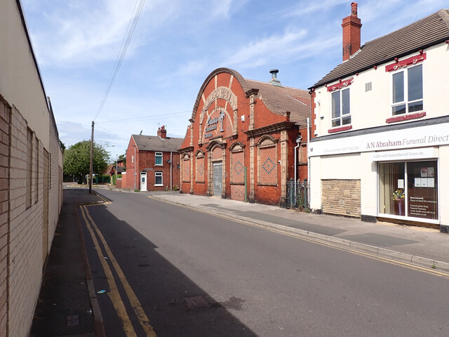
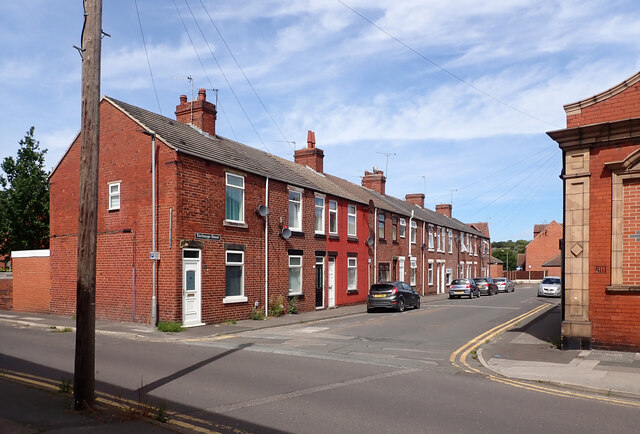
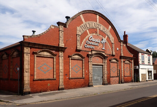
North Elmsall Images
Images are sourced within 2km of 53.605923/-1.28304 or Grid Reference SE4712. Thanks to Geograph Open Source API. All images are credited.
North Elmsall is located at Grid Ref: SE4712 (Lat: 53.605923, Lng: -1.28304)
Division: West Riding
Administrative County: West Yorkshire
District: Wakefield
Police Authority: West Yorkshire
What 3 Words
///flickers.skunks.historic. Near North Elmsall, West Yorkshire
Nearby Locations
Related Wikis

North Elmsall
North Elmsall ( EM-səl) is a village and civil parish in the City of Wakefield district in West Yorkshire, England. It had a population of 4,093 in 2001...

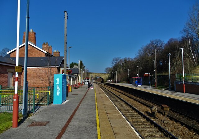
Upton and North Elmsall railway station
Upton and North Elmsall railway station, was a railway station on the Hull and Barnsley Railway (H&B) in Yorkshire, England. The station served the villages...

Minsthorpe Community College
Minsthorpe Community College is a coeducational secondary school with academy status in South Elmsall, West Yorkshire, England. It is specifically for...
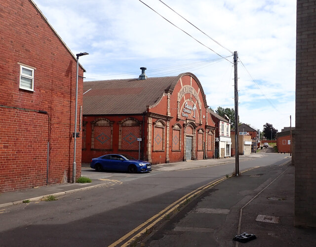
Upton Colliery
Upton Colliery was a coal mine near to the village of Upton in the West Riding of Yorkshire, England. The site was 8.5 miles (13.7 km) north west of Doncaster...

South Elmsall railway station
South Elmsall railway station serves the town of South Elmsall in West Yorkshire, England. It lies on the Wakefield Line operated by Northern 8+3⁄4 miles...
Frickley Colliery
Frickley & South Elmsall Colliery was opened by the Carlton Main Colliery Company Ltd in 1903 in South Elmsall, in Yorkshire, England. == Frickley... ==

South Elmsall
South Elmsall ( EM-səl) is a town and civil parish in the City of Wakefield in West Yorkshire, England. South Elmsall lies to the east of Hemsworth. The...

Upton, West Yorkshire
Upton is a village and civil parish in West Yorkshire, England. It had a population of 3,541 in the 2001 census.It is situated south of Badsworth and...
Nearby Amenities
Located within 500m of 53.605923,-1.28304Have you been to North Elmsall?
Leave your review of North Elmsall below (or comments, questions and feedback).