Minsthorpe

Settlement in Yorkshire

England

Minsthorpe

Upton Water Tower <span class="nowrap"><a title="http://trigpointing.uk/trig/13053" rel="nofollow ugc noopener" href="http://trigpointing.uk/trig/13053">Link</a><img style="margin-left:2px;" alt="External link" title="External link - shift click to open in new window" src="https://s1.geograph.org.uk/img/external.png" width="10" height="10"/></span>
Upton Water Tower Credit: thejackrustles

Minsthorpe is a small village located in the county of Yorkshire, England. Situated approximately 10 miles south of the city of Wakefield, it falls within the district of West Yorkshire. The village is surrounded by picturesque countryside, offering residents and visitors a tranquil and idyllic setting.

With a population of around 2,000 people, Minsthorpe is a close-knit community known for its friendly and welcoming atmosphere. The village is predominantly residential, featuring a mix of traditional stone-built houses and newer developments. The architecture reflects the village's rich history, with some buildings dating back several centuries.

Minsthorpe is home to a primary school, providing education for local children, and there are also a few local businesses, including a convenience store and a post office, to cater to the needs of the community. The village boasts several green spaces, such as Minsthorpe Park, which is a popular spot for recreation and leisure activities.

For those interested in history, Minsthorpe has a rich heritage. The village is believed to have been established in medieval times and was mentioned in the Domesday Book of 1086. There are remnants of old stone walls and historic landmarks that serve as reminders of Minsthorpe's past.

Transport links to Minsthorpe are convenient, with the nearby M62 motorway providing easy access to surrounding towns and cities. The village is also well-served by local bus services, connecting residents to nearby urban areas.

Overall, Minsthorpe offers its residents a peaceful and scenic environment, combined with a strong sense of community spirit and a touch of history.

If you have any feedback on the listing, please let us know in the comments section below.
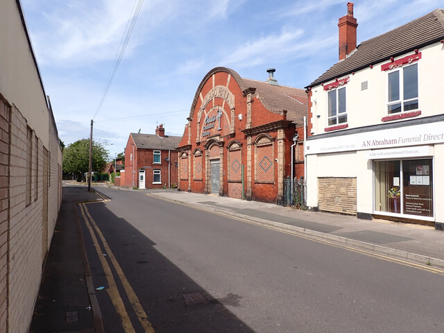
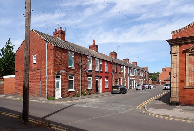
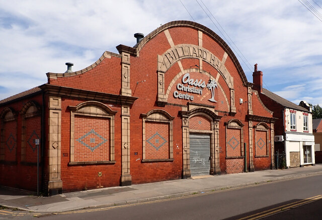
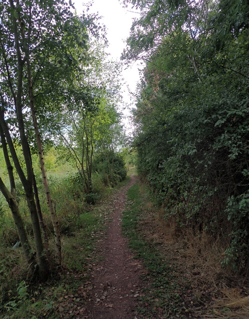
Minsthorpe Images

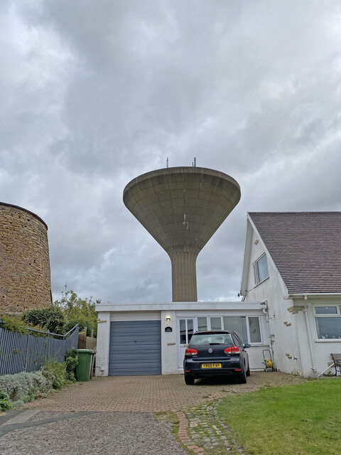
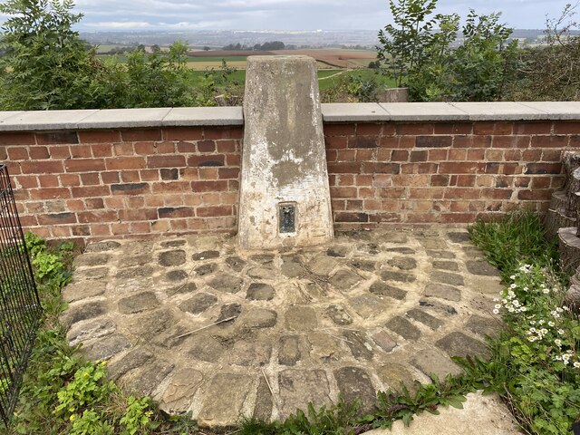
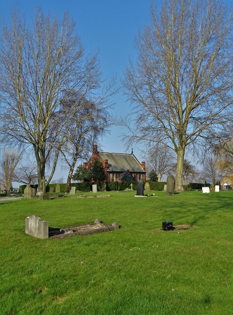
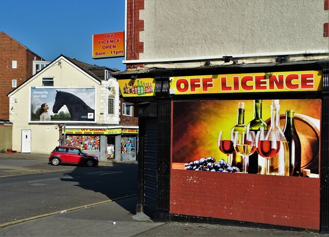
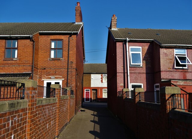
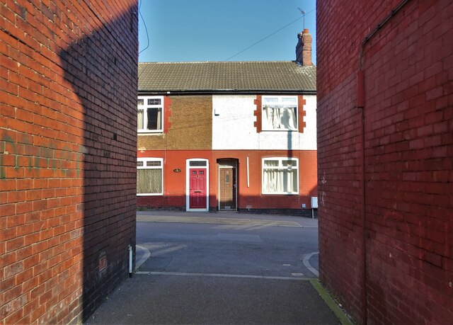
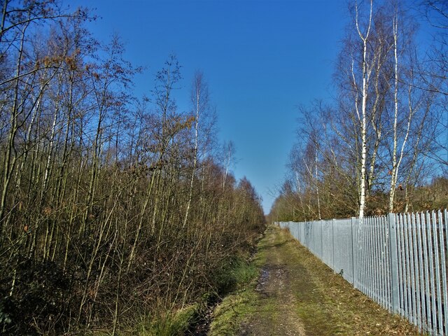
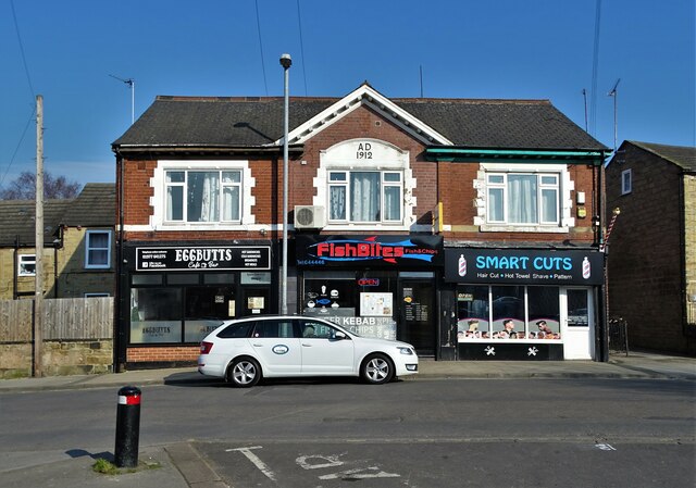
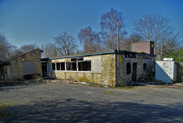
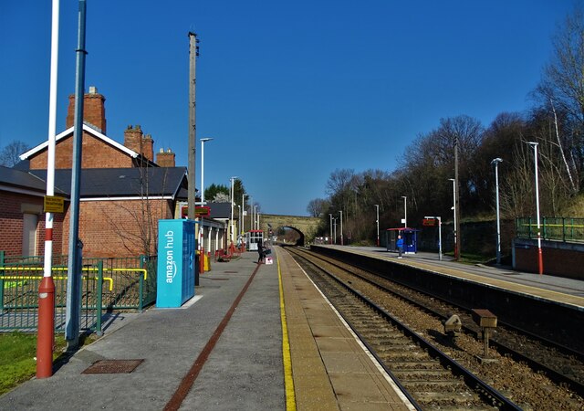
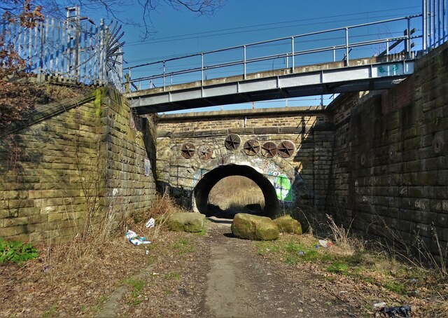
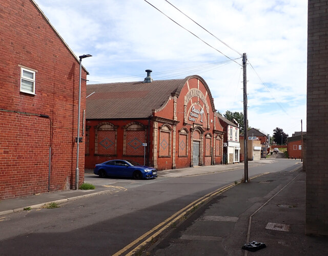
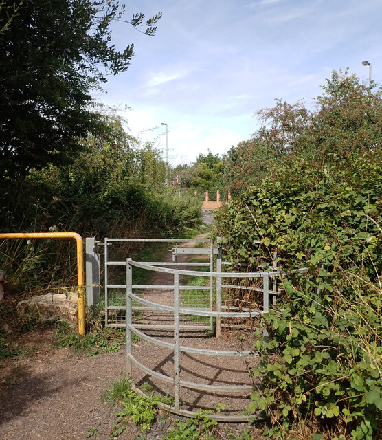
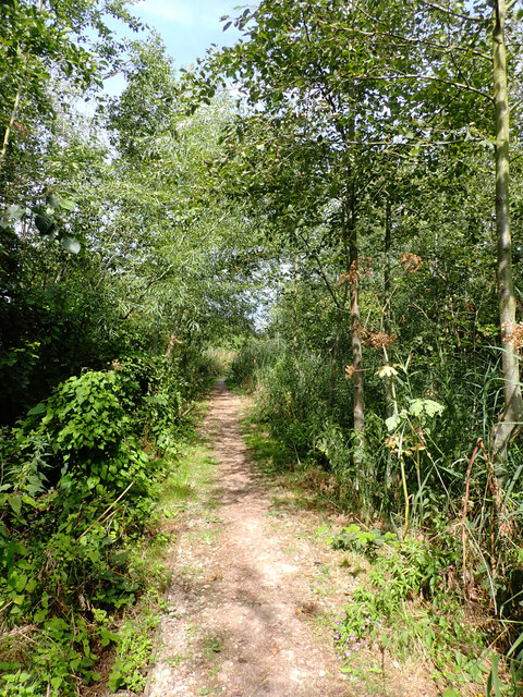
Images are sourced within 2km of 53.602884/-1.2877258 or Grid Reference SE4712. Thanks to Geograph Open Source API. All images are credited.

Upton Water Tower <span class="nowrap"><a title="http://trigpointing.uk/trig/13053" rel="nofollow ugc noopener" href="http://trigpointing.uk/trig/13053">Link</a><img style="margin-left:2px;" alt="External link" title="External link - shift click to open in new window" src="https://s1.geograph.org.uk/img/external.png" width="10" height="10"/></span>
Upton Water Tower
Upton Beacon Connecting Point Trig Point Flush Bracket S1743
Chapel of rest in the cemetery at Moorthorpe
Two off licences on Barnsley Road, Moorthorpe
Burton Street, Moorthorpe
Track by the railway at Mutton Flatts
Businesses on Carr Lane, South Kirkby
Former site of South Kirkby CMHT centre CMHT stands for Community Mental Health Team - a service that still operate in towns and cities around the country under the aegis of The National Health Service. Back in 2011 this centre was still up and running but now it is sadly derelict and an ongoing target for vandals. Perhaps services in the Barnsley area have been "rationalised" to save money.
Former site of South Kirkby CMHT centre
CMHT stands for Community Mental Health Team - a service that still operate in towns and cities around the country under the aegis of The National Health Service. Back in 2011 this centre was still up and running but now it is sadly derelict and an ongoing target for vandals. Perhaps services in the Barnsley area have been "rationalised" to save money.
Moorthorpe Railway Station
Railway bridge north of South Kirkby
Exchange Street, South Elmsall The large building is a former billiard hall now used as a church.
Exchange Street, South Elmsall
The large building is a former billiard hall now used as a church.
Exchange Street, South Elmsall The large building is a former billiard hall now used as a church.
Exchange Street, South Elmsall
The large building is a former billiard hall now used as a church.
Exchange Street, South Elmsall
Former billiard hall now used as a church, Exchange Street, South Elmsall
Path, Frickley Country Park Frickley Country Park lies to the south of South Elmsall and is bordered to the south by Frickley Beck. It was developed on the site of Frickley Colliery after the pit shut in 1993. It has many landscaped features that fit in with the industrial past of the site as well as being important local nature reserve.
Path, Frickley Country Park
Frickley Country Park lies to the south of South Elmsall and is bordered to the south by Frickley Beck. It was developed on the site of Frickley Colliery after the pit shut in 1993. It has many landscaped features that fit in with the industrial past of the site as well as being important local nature reserve.
Doncaster Road entrance, Frickley Country Park Frickley Country Park lies to the south of South Elmsall and is bordered to the south by Frickley Beck. It was developed on the site of Frickley Colliery after the pit shut in 1993. It has many landscaped features that fit in with the industrial past of the site as well as being important local nature reserve.
Doncaster Road entrance, Frickley Country Park
Frickley Country Park lies to the south of South Elmsall and is bordered to the south by Frickley Beck. It was developed on the site of Frickley Colliery after the pit shut in 1993. It has many landscaped features that fit in with the industrial past of the site as well as being important local nature reserve.
Path, Frickley Country Park Frickley Country Park lies to the south of South Elmsall and is bordered to the south by Frickley Beck. It was developed on the site of Frickley Colliery after the pit shut in 1993. It has many landscaped features that fit in with the industrial past of the site as well as being important local nature reserve.
Path, Frickley Country Park
Frickley Country Park lies to the south of South Elmsall and is bordered to the south by Frickley Beck. It was developed on the site of Frickley Colliery after the pit shut in 1993. It has many landscaped features that fit in with the industrial past of the site as well as being important local nature reserve.
Show me another place!

Minsthorpe is located at Grid Ref: SE4712 (Lat: 53.602884, Lng: -1.2877258)

Division: West Riding

Unitary Authority: Wakefield

Police Authority: West Yorkshire

What 3 Words

///ribs.upgrading.consented. Near South Elmsall, West Yorkshire

Related Wikis

Minsthorpe Community College

Minsthorpe Community College is a coeducational secondary school with academy status in South Elmsall, West Yorkshire, England. It is specifically for...

North Elmsall

North Elmsall ( EM-səl) is a village and civil parish in the City of Wakefield district in West Yorkshire, England. It had a population of 4,093 in 2001...

Upton and North Elmsall railway station

Upton and North Elmsall railway station, was a railway station on the Hull and Barnsley Railway (H&B) in Yorkshire, England. The station served the villages...

South Elmsall railway station

South Elmsall railway station serves the town of South Elmsall in West Yorkshire, England. It lies on the Wakefield Line operated by Northern 8+3⁄4 miles...

Nearby Amenities

Located within 500m of 53.602884,-1.2877258
Bus Stop
Minsthorpe Lane Dark Lane
Bus: yes
Local Ref: 45016474
Naptan AtcoCode: 450016474
Naptan Bearing: SE
Naptan CommonName: Minsthorpe Lane Dark Lane
Naptan Crossing: Adj-At Dale Lane
Naptan Indicator: Stop 45016474
Naptan Landmark: Manorcroft Farm
Naptan PlusbusZoneRef: LEEDS
Naptan ShortCommonName: Dale Lane
Naptan Street: Minsthorpe Lane
Naptan Verified: no
Public Transport: platform
Source: naptan_import
Lat/Long: 53.6055195/-1.2856438
Bus Stop
Dale Lane Stadium Way
Bus: yes
Local Ref: 45016476
Naptan AtcoCode: 450016476
Naptan Bearing: SW
Naptan CommonName: Dale Lane Stadium Way
Naptan Crossing: Stadium Way
Naptan Indicator: Stop 45016476
Naptan Landmark: Dale Lane Industrial Estate
Naptan PlusbusZoneRef: LEEDS
Naptan ShortCommonName: Stadium Way
Naptan Street: Dale Lane
Naptan Verified: no
Public Transport: platform
Source: naptan_import
Lat/Long: 53.6047298/-1.2813499
Bus Stop
Mill Lane Minsthorpe Lane
Bus: yes
Local Ref: 45016477
Naptan AtcoCode: 450016477
Naptan Bearing: N
Naptan CommonName: Mill Lane Minsthorpe Lane
Naptan Crossing: Minsthorpe Lane
Naptan Indicator: Stop 45016477
Naptan Landmark: Barnsley Oak PH
Naptan PlusbusZoneRef: LEEDS
Naptan ShortCommonName: Minsthorpe Lane
Naptan Street: Mill Lane
Naptan Verified: no
Public Transport: platform
Source: naptan_import
Lat/Long: 53.6035061/-1.2841514
Bus Stop
Mill Lane Minsthorpe Lane
Bus: yes
Local Ref: 45016478
Naptan AtcoCode: 450016478
Naptan Bearing: S
Naptan CommonName: Mill Lane Minsthorpe Lane
Naptan Crossing: Minsthorpe Lane
Naptan Indicator: Stop 45016478
Naptan PlusbusZoneRef: LEEDS
Naptan ShortCommonName: Minsthorpe Lane
Naptan Street: Mill Lane
Naptan Verified: no
Public Transport: platform
Source: naptan_import
Lat/Long: 53.6030458/-1.2838267
Bus Stop
Highfield Mill Lane
Local Ref: 45016479
Naptan AtcoCode: 450016479
Naptan Bearing: S
Naptan CommonName: Highfield Mill Lane
Naptan Crossing: Strathmore Gardens
Naptan Indicator: Stop 45016479
Naptan Landmark: The Park PH
Naptan PlusbusZoneRef: LEEDS
Naptan ShortCommonName: Mill Lane
Naptan Street: Mill Lane
Naptan Verified: no
Source: naptan_import
Lat/Long: 53.6000241/-1.2820796
Bus Stop
Ash Grove Bailey Crescent
Bus: yes
Local Ref: 45016485
Naptan AtcoCode: 450016485
Naptan Bearing: SE
Naptan CommonName: Ash Grove Bailey Crescent
Naptan Crossing: Bailey Crescent
Naptan Indicator: Stop 45016485
Naptan PlusbusZoneRef: LEEDS
Naptan ShortCommonName: Bailey Crescent
Naptan Street: Ash Grove
Naptan Verified: no
Public Transport: platform
Source: naptan_import
Lat/Long: 53.5999224/-1.287625
Bus Stop
Ash Grove Hyman Walk
Bus: yes
Local Ref: 45016486
Naptan AtcoCode: 450016486
Naptan Bearing: NW
Naptan CommonName: Ash Grove Hyman Walk
Naptan Crossing: Hyman Walk
Naptan Indicator: Stop 45016486
Naptan Landmark: Swimming Baths
Naptan PlusbusZoneRef: LEEDS
Naptan ShortCommonName: Hyman Walk
Naptan Street: Ash Grove
Naptan Verified: no
Public Transport: platform
Source: naptan_import
Lat/Long: 53.6002305/-1.2880452
Bus Stop
Ash Grove Minsthorpe Lane
Bus: yes
Local Ref: 45016487
Naptan AtcoCode: 450016487
Naptan Bearing: SE
Naptan CommonName: Ash Grove Minsthorpe Lane
Naptan Crossing: Minsthorpe Lane
Naptan Indicator: Stop 45016487
Naptan Landmark: School
Naptan PlusbusZoneRef: LEEDS
Naptan ShortCommonName: Minsthorpe Lane
Naptan Street: Ash Grove
Naptan Verified: no
Public Transport: platform
Source: naptan_import
Lat/Long: 53.6016341/-1.2897897
Bus Stop
Minsthorpe Lane Sandford Road
Bus: yes
Local Ref: 45016492
Naptan AtcoCode: 450016492
Naptan Bearing: NE
Naptan CommonName: Minsthorpe Lane Sandford Road
Naptan Crossing: Sandford Road
Naptan Indicator: Stop 45016492
Naptan PlusbusZoneRef: LEEDS
Naptan ShortCommonName: Sandford Road
Naptan Street: Minsthorpe Lane
Naptan Verified: no
Public Transport: platform
Source: naptan_import
Lat/Long: 53.6035351/-1.2859947
Bus Stop
Minsthorpe Lane Sandford Road
Bus: yes
Local Ref: 45016493
Naptan AtcoCode: 450016493
Naptan Bearing: SW
Naptan CommonName: Minsthorpe Lane Sandford Road
Naptan Crossing: Sandford Road
Naptan Indicator: Stop 45016493
Naptan Landmark: Barnsley Oak PH
Naptan PlusbusZoneRef: LEEDS
Naptan ShortCommonName: Sandford Road
Naptan Street: Minsthorpe Lane
Naptan Verified: no
Public Transport: platform
Source: naptan_import
Lat/Long: 53.6033297/-1.2862249
Bus Stop
Minsthorpe High School
Bus: yes
Local Ref: 45016494
Naptan AtcoCode: 450016494
Naptan Bearing: NE
Naptan CommonName: Minsthorpe High School
Naptan Crossing: Anston Drive
Naptan Indicator: Stop 45016494
Naptan Landmark: Minsthorpe Community College
Naptan PlusbusZoneRef: LEEDS
Naptan ShortCommonName: Minsthorpe High Sch
Naptan Street: Minsthorpe Lane
Naptan Verified: no
Public Transport: platform
Source: naptan_import
Lat/Long: 53.6025731/-1.288973
Bus Stop
Mill Lane Simpson Road
Local Ref: 45025137
Naptan AtcoCode: 450025137
Naptan Bearing: S
Naptan CommonName: Mill Lane Simpson Road
Naptan Crossing: Simpson Road
Naptan Indicator: Stop 45025137
Naptan PlusbusZoneRef: LEEDS
Naptan ShortCommonName: Simpson Road
Naptan Street: Mill Lane
Naptan Verified: no
Source: naptan_import
Lat/Long: 53.6014647/-1.2824934
Bus Stop
Dale Lane Stadium Way
Bus: yes
Local Ref: 45027672
Naptan AtcoCode: 450027672
Naptan Bearing: NE
Naptan CommonName: Dale Lane Stadium Way
Naptan Crossing: Stadium Way
Naptan Indicator: Stop 45027672
Naptan PlusbusZoneRef: LEEDS
Naptan ShortCommonName: Stadium Way
Naptan Street: Dale Lane
Naptan Verified: no
Public Transport: platform
Source: naptan_import
Lat/Long: 53.6048198/-1.2813786
Minsthorpe Lane South Elmsall
Local Ref: 45050430
Naptan AtcoCode: 450050430
Naptan Bearing: NW
Naptan BusStopType: CUS
Naptan CommonName: Minsthorpe Lane South Elmsall
Naptan Indicator: Stop 45050430
Naptan PlusbusZoneRef: LEEDS
Naptan ShortCommonName: Manorcroft Farm
Naptan Street: Minsthorpe Lane
Naptan Verified: no
Source: naptan_import
Lat/Long: 53.6054664/-1.2857808
Mill Lane Simpson Road
Local Ref: 45051509
Naptan AtcoCode: 450051509
Naptan Bearing: N
Naptan BusStopType: CUS
Naptan CommonName: Mill Lane Simpson Road
Naptan Indicator: Stop 45051509
Naptan PlusbusZoneRef: LEEDS
Naptan ShortCommonName: Simpson Road
Naptan Street: Mill Lane
Naptan Verified: no
Source: naptan_import
Lat/Long: 53.601421/-1.2826906
Noexit: yes
Lat/Long: 53.6011274/-1.287766
Pub
Barnsley Oak
Addr City: Pontefract
Addr Postcode: WF9 2DT
Addr Street: Mill Lane
Fhrs Id: 283586
Lat/Long: 53.6035499/-1.2845401
Crossing
Lat/Long: 53.6020415/-1.2900604
Crossing
Lat/Long: 53.602157/-1.2902013
Post Box
Brand: Royal Mail
Brand Wikidata: Q638098
Brand Wikipedia: en:Royal Mail
Operator: Royal Mail
Operator Wikidata: Q638098
Post Box Type: lamp
Ref: WF9 179
Lat/Long: 53.6012/-1.2884031
Post Box
Brand: Royal Mail
Brand Wikidata: Q638098
Brand Wikipedia: en:Royal Mail
Operator: Royal Mail
Operator Wikidata: Q638098
Post Box Type: lamp
Ref: WF9 410
Lat/Long: 53.601586/-1.2839547
Lewis’s House
Location: indoor
Operator: Lewis’s House
Lat/Long: 53.6013112/-1.2879183
Fast Food
Shirley's Chippy
Addr City: Pontefract
Addr Housenumber: 64
Addr Postcode: WF9 2UP
Addr Street: Ash Grove
Addr Suburb: South Elmsall
Addr Town: Pontefract
Cuisine: fish_and_chips
Fhrs Id: 1170824
Takeaway: yes
Lat/Long: 53.6001702/-1.287685
Minsthorpe
Place: suburb
Lat/Long: 53.6004784/-1.290038
Generator Method: photovoltaic
Generator Output Electricity: yes
Generator Source: solar
Generator Type: solar_photovoltaic_panel
Location: roof
Power: generator
Lat/Long: 53.6018844/-1.2922964
Generator Method: photovoltaic
Generator Output Electricity: yes
Generator Source: solar
Generator Type: solar_photovoltaic_panel
Location: roof
Power: generator
Lat/Long: 53.6025711/-1.2899521
Generator Method: photovoltaic
Generator Output Electricity: yes
Generator Source: solar
Generator Type: solar_photovoltaic_panel
Location: roof
Power: generator
Lat/Long: 53.6022465/-1.2890482
Generator Method: photovoltaic
Generator Output Electricity: yes
Generator Source: solar
Generator Type: solar_photovoltaic_panel
Location: roof
Power: generator
Lat/Long: 53.600892/-1.2883535
Generator Method: photovoltaic
Generator Output Electricity: yes
Generator Source: solar
Generator Type: solar_photovoltaic_panel
Location: roof
Power: generator
Lat/Long: 53.5994961/-1.2835953
Generator Method: photovoltaic
Generator Output Electricity: yes
Generator Source: solar
Generator Type: solar_photovoltaic_panel
Location: roof
Power: generator
Lat/Long: 53.600136/-1.2840807
Generator Method: photovoltaic
Generator Output Electricity: yes
Generator Source: solar
Generator Type: solar_photovoltaic_panel
Location: roof
Power: generator
Lat/Long: 53.6006564/-1.2881362
Generator Method: photovoltaic
Generator Output Electricity: yes
Generator Source: solar
Generator Type: solar_photovoltaic_panel
Location: roof
Power: generator
Lat/Long: 53.6006692/-1.2881041
Generator Method: photovoltaic
Generator Output Electricity: yes
Generator Source: solar
Generator Type: solar_photovoltaic_panel
Location: roof
Power: generator
Lat/Long: 53.6014745/-1.2878385
Generator Method: photovoltaic
Generator Output Electricity: yes
Generator Source: solar
Generator Type: solar_photovoltaic_panel
Location: roof
Power: generator
Lat/Long: 53.6009732/-1.2873665
Generator Method: photovoltaic
Generator Output Electricity: yes
Generator Source: solar
Generator Type: solar_photovoltaic_panel
Location: roof
Power: generator
Lat/Long: 53.6005832/-1.2834504
Generator Method: photovoltaic
Generator Output Electricity: yes
Generator Source: solar
Generator Type: solar_photovoltaic_panel
Location: roof
Power: generator
Lat/Long: 53.6008633/-1.2834075
Generator Method: photovoltaic
Generator Output Electricity: yes
Generator Source: solar
Generator Type: solar_photovoltaic_panel
Location: roof
Power: generator
Lat/Long: 53.6010225/-1.2842256
Generator Method: photovoltaic
Generator Output Electricity: yes
Generator Source: solar
Generator Type: solar_photovoltaic_panel
Location: roof
Power: generator
Lat/Long: 53.6009477/-1.2844241
Generator Method: photovoltaic
Generator Output Electricity: yes
Generator Source: solar
Generator Type: solar_photovoltaic_panel
Location: roof
Power: generator
Lat/Long: 53.6010623/-1.2853172
Generator Method: photovoltaic
Generator Output Electricity: yes
Generator Source: solar
Generator Type: solar_photovoltaic_panel
Location: roof
Power: generator
Lat/Long: 53.6022735/-1.2868354
Generator Method: photovoltaic
Generator Output Electricity: yes
Generator Source: solar
Generator Type: solar_photovoltaic_panel
Location: roof
Power: generator
Lat/Long: 53.6025552/-1.2881631
Generator Method: photovoltaic
Generator Output Electricity: yes
Generator Source: solar
Generator Type: solar_photovoltaic_panel
Location: roof
Power: generator
Lat/Long: 53.602603/-1.2880343
Generator Method: photovoltaic
Generator Output Electricity: yes
Generator Source: solar
Generator Type: solar_photovoltaic_panel
Location: roof
Power: generator
Lat/Long: 53.6028751/-1.286602
Generator Method: photovoltaic
Generator Output Electricity: yes
Generator Source: solar
Generator Type: solar_photovoltaic_panel
Location: roof
Power: generator
Lat/Long: 53.6041977/-1.2882167
Generator Method: photovoltaic
Generator Output Electricity: yes
Generator Source: solar
Generator Type: solar_photovoltaic_panel
Location: roof
Power: generator
Lat/Long: 53.6039892/-1.288096
Generator Method: photovoltaic
Generator Output Electricity: yes
Generator Source: solar
Generator Type: solar_photovoltaic_panel
Location: roof
Power: generator
Lat/Long: 53.6038157/-1.2879995
Generator Method: photovoltaic
Generator Output Electricity: yes
Generator Source: solar
Generator Type: solar_photovoltaic_panel
Location: roof
Power: generator
Lat/Long: 53.6038253/-1.2869132
Generator Method: photovoltaic
Generator Output Electricity: yes
Generator Source: solar
Generator Type: solar_photovoltaic_panel
Location: roof
Power: generator
Lat/Long: 53.6041993/-1.2863955
Generator Method: photovoltaic
Generator Output Electricity: yes
Generator Source: solar
Generator Type: solar_photovoltaic_panel
Location: roof
Power: generator
Lat/Long: 53.6047436/-1.2861541
Generator Method: photovoltaic
Generator Output Electricity: yes
Generator Source: solar
Generator Type: solar_photovoltaic_panel
Location: roof
Power: generator
Lat/Long: 53.605342/-1.2858859
Generator Method: photovoltaic
Generator Output Electricity: yes
Generator Source: solar
Generator Type: solar_photovoltaic_panel
Location: roof
Power: generator
Lat/Long: 53.605194/-1.2858269
The data included in this document is from www.openstreetmap.org. The data is made available under ODbL.

Have you been to Minsthorpe?

Leave your review of Minsthorpe below (or comments, questions and feedback).