North Fambridge
Civil Parish in Essex Maldon
England
North Fambridge

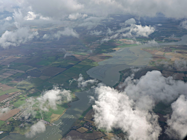
North Fambridge is a civil parish located in the county of Essex, England. Situated on the northern bank of the River Crouch, it lies approximately 50 miles east of London. The parish is part of the Maldon district and covers an area of around 6 square kilometers.
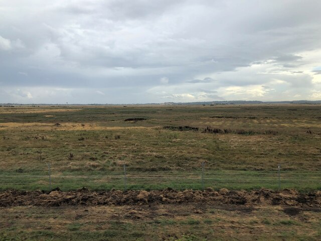
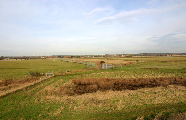
The village of North Fambridge is small and rural, with a population of around 400 residents. It is known for its picturesque countryside, charming cottages, and tranquil atmosphere. The parish is surrounded by farmland and offers stunning views of the surrounding marshes and estuary.
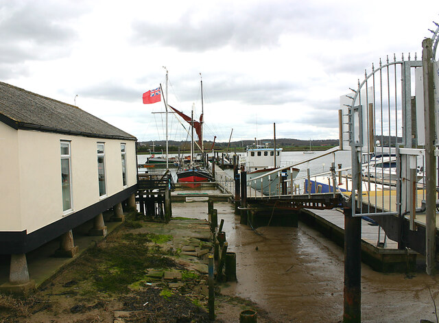
North Fambridge is a popular destination for nature lovers and outdoor enthusiasts. The nearby River Crouch provides opportunities for boating, fishing, and birdwatching. The area is home to a variety of bird species, including waders and waterfowl, which can be observed in their natural habitat.
The village itself is centered around a few local amenities, including a village hall, a post office, and a primary school. The parish also has a pub, which is a popular meeting place for locals and visitors alike.
Transportation in North Fambridge is primarily by road, with the A132 passing through the village. The nearest railway station is South Woodham Ferrers, which offers direct connections to London Liverpool Street.
Overall, North Fambridge is a peaceful and idyllic rural parish, offering a charming escape from the hustle and bustle of city life.
If you have any feedback on the listing, please let us know in the comments section below.
North Fambridge Images
Images are sourced within 2km of 51.64638/0.67301 or Grid Reference TQ8597. Thanks to Geograph Open Source API. All images are credited.


North Fambridge is located at Grid Ref: TQ8597 (Lat: 51.64638, Lng: 0.67301)
Administrative County: Essex
District: Maldon
Police Authority: Essex
What 3 Words
///yachting.reviews.scarcely. Near Cold Norton, Essex
Nearby Locations
Related Wikis

North Fambridge
North Fambridge is a village and civil parish on the Dengie peninsula in the English county of Essex. North Fambridge is on the north bank of the River...
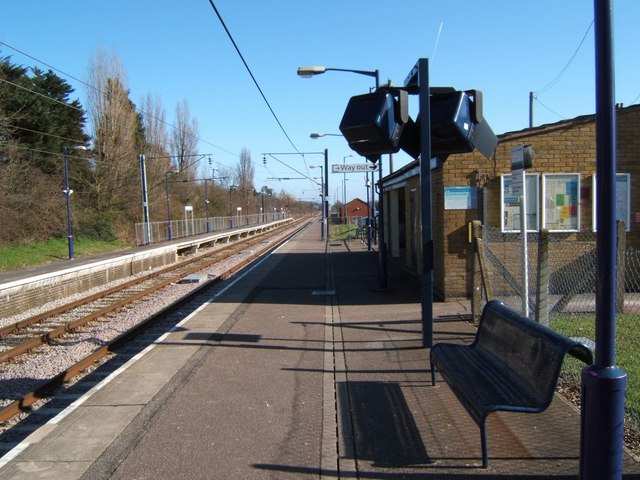
North Fambridge railway station
North Fambridge railway station is on the Crouch Valley Line in the East of England, serving the village of North Fambridge, Essex. It is 37 miles 27 chains...
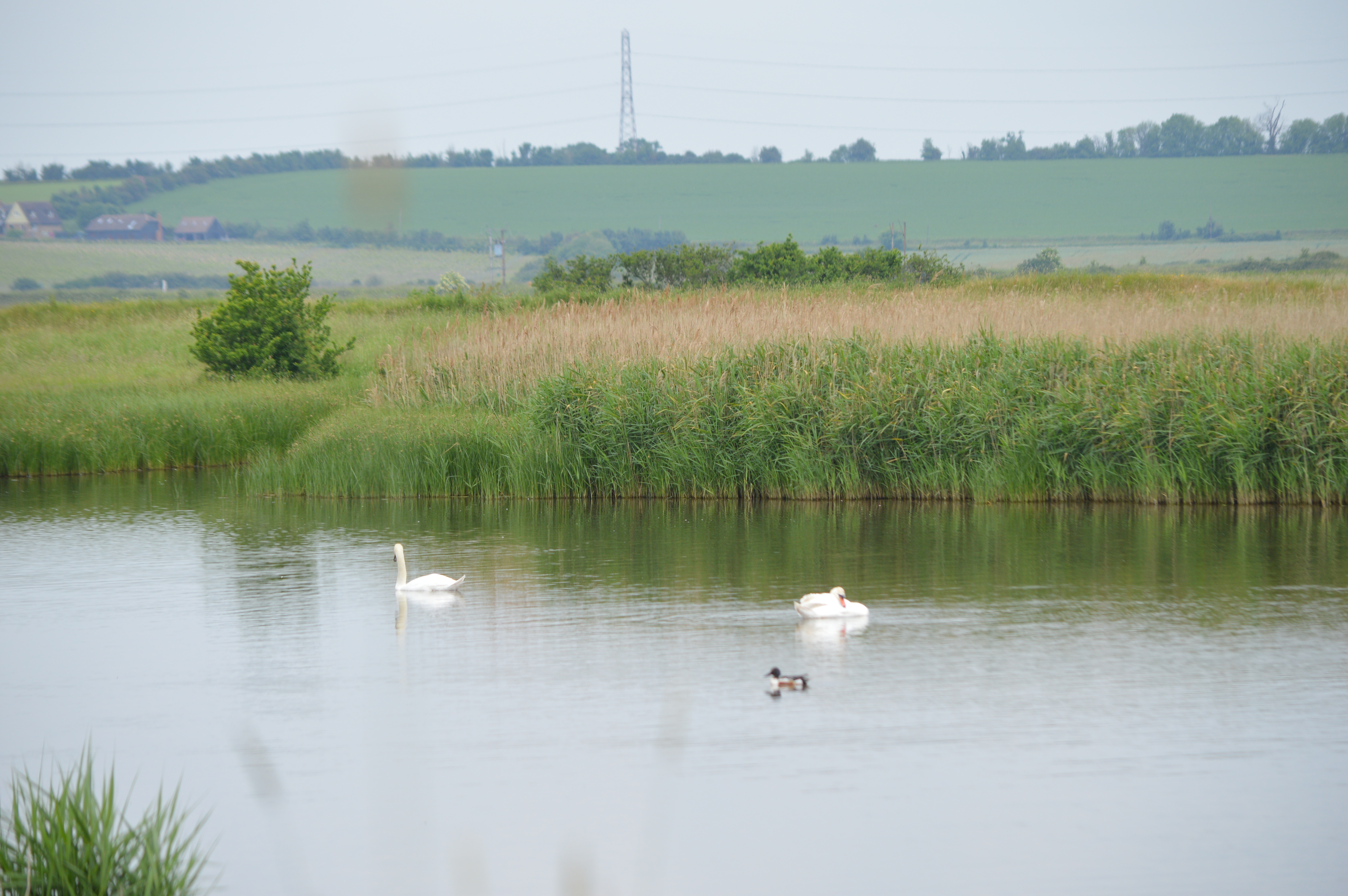
Blue House Farm
Blue House Farm is a 242.8-hectare (600-acre) nature reserve and farm in North Fambridge, on the north bank of the River Crouch between Burnham-on-Crouch...

7th Cruiser Squadron
The 7th Cruiser Squadron (also known as Cruiser Force C) was a blockading force of the Royal Navy during the First World War used to close the English...

South Fambridge
South Fambridge is a village and former civil parish, now in the parish of Ashingdon, in the Rochford district, in the county of Essex, England. It is...
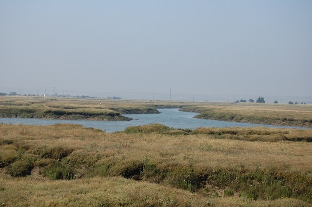
Crouch and Roach Estuaries
The Crouch and Roach Estuaries are a 1729 hectare biological Site of Special Scientific Interest (SSSI) at the mouth of the Crouch and Roach rivers in...
Stow Maries Halt
Stow Maries Halt is a 2.2-hectare (5.4-acre) nature reserve south of Stow Maries in Essex. It is owned and managed by the Essex Wildlife Trust.The former...

Stow St Mary Halt railway station
Stow St. Mary Halt railway station was a halt that served the village of Stow Maries, Essex. It was opened on 24 September 1928 by the London and North...
Nearby Amenities
Located within 500m of 51.64638,0.67301Have you been to North Fambridge?
Leave your review of North Fambridge below (or comments, questions and feedback).