North Elmsall

Settlement in Yorkshire

England

North Elmsall

Upton Water Tower <span class="nowrap"><a title="http://trigpointing.uk/trig/13053" rel="nofollow ugc noopener" href="http://trigpointing.uk/trig/13053">Link</a><img style="margin-left:2px;" alt="External link" title="External link - shift click to open in new window" src="https://s1.geograph.org.uk/img/external.png" width="10" height="10"/></span>
Upton Water Tower Credit: thejackrustles

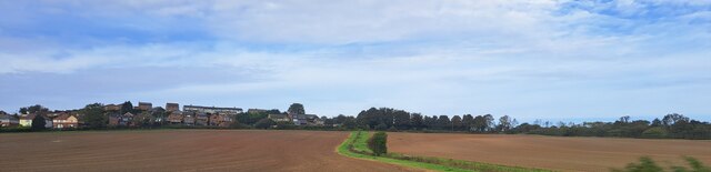
North Elmsall is a small village located in the metropolitan borough of Wakefield, in West Yorkshire, England. It is situated approximately 8 miles east of Pontefract and 13 miles south-east of the city of Leeds. With a population of around 5,000 residents, it is a close-knit community with a strong sense of local pride.

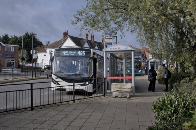
The village is well-connected, with easy access to major transportation routes. The A638 road runs through North Elmsall, linking it to nearby towns and cities. The village also benefits from regular bus services, providing convenient transport options for residents.

North Elmsall has a rich history, with evidence of human habitation dating back to the Bronze Age. The area has been heavily influenced by coal mining, with several collieries operating in the vicinity. However, the closure of the local pits in the 1980s resulted in a decline in the mining industry and subsequent economic challenges for the village.

Despite these setbacks, North Elmsall has managed to maintain its charm and community spirit. It boasts a range of amenities, including a primary school, a village hall, a medical practice, and a handful of local shops and pubs. The village also benefits from its proximity to beautiful countryside, with several nature reserves and parks within easy reach.

Overall, North Elmsall offers a peaceful and friendly environment for residents, with a strong sense of community and a convenient location for those seeking a quieter lifestyle within reach of urban centers.

If you have any feedback on the listing, please let us know in the comments section below.

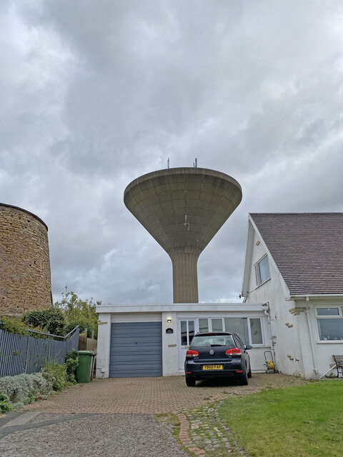
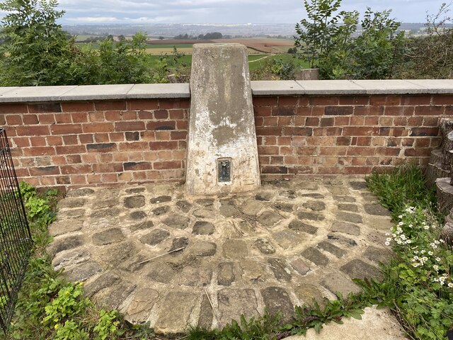
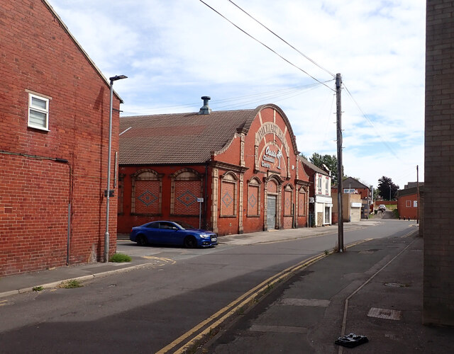
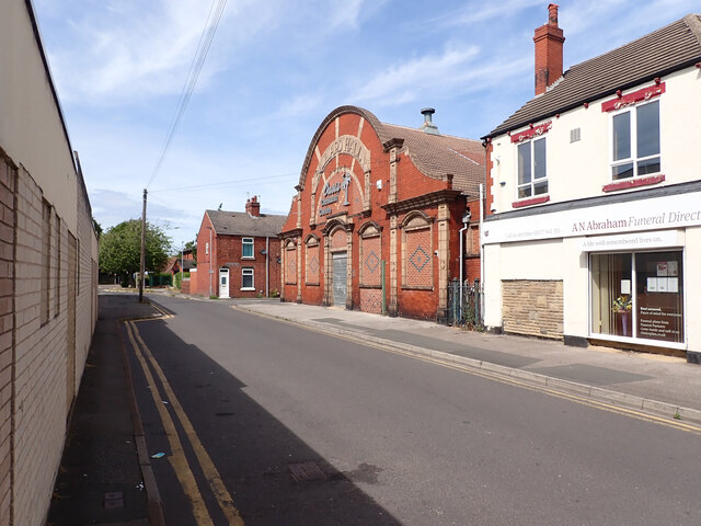
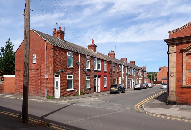
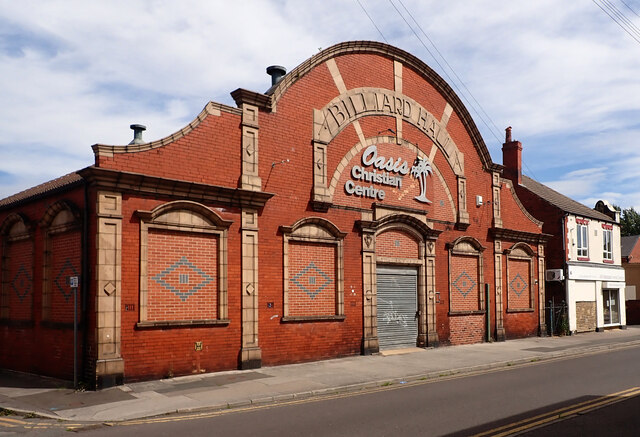
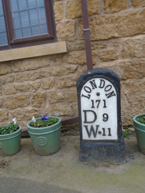
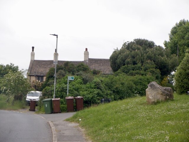
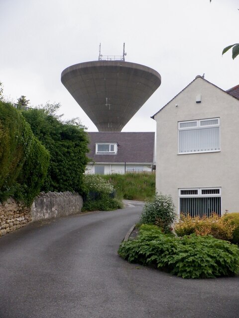
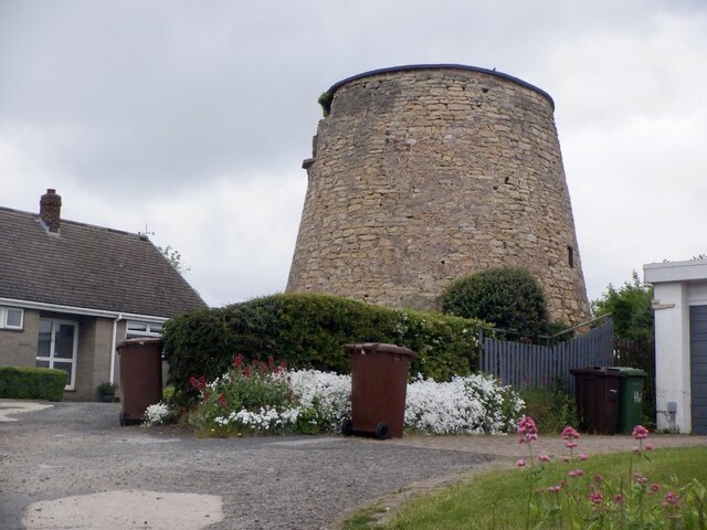
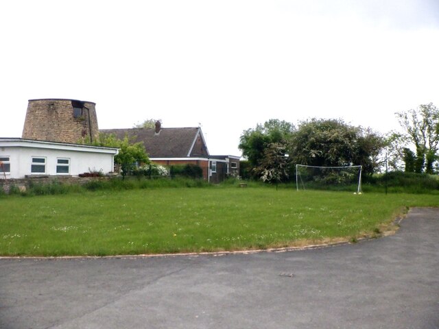
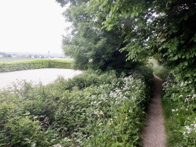
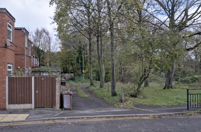
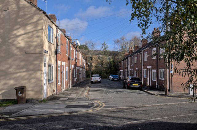
North Elmsall Images

Images are sourced within 2km of 53.60937/-1.28076 or Grid Reference SE4712. Thanks to Geograph Open Source API. All images are credited.

Upton Water Tower <span class="nowrap"><a title="http://trigpointing.uk/trig/13053" rel="nofollow ugc noopener" href="http://trigpointing.uk/trig/13053">Link</a><img style="margin-left:2px;" alt="External link" title="External link - shift click to open in new window" src="https://s1.geograph.org.uk/img/external.png" width="10" height="10"/></span>
Upton Water Tower
Upton Beacon Connecting Point Trig Point Flush Bracket S1743
Exchange Street, South Elmsall The large building is a former billiard hall now used as a church.
Exchange Street, South Elmsall
The large building is a former billiard hall now used as a church.
Exchange Street, South Elmsall The large building is a former billiard hall now used as a church.
Exchange Street, South Elmsall
The large building is a former billiard hall now used as a church.
Exchange Street, South Elmsall
Former billiard hall now used as a church, Exchange Street, South Elmsall
Old milestone This is one of three remaining plated milestones on the 11.7 mile Red House (northern end of A1(M) Doncaster By-pass) to Crofton (east of Wakefield) turnpike first enacted in 1741.   The village of North Elmsall has been by-passed twice.   The milestone, standing at Milestone House on Hall Lane is well-cared for.  It is Grade II listed 1265112.
Old milestone
This is one of three remaining plated milestones on the 11.7 mile Red House (northern end of A1(M) Doncaster By-pass) to Crofton (east of Wakefield) turnpike first enacted in 1741. The village of North Elmsall has been by-passed twice. The milestone, standing at Milestone House on Hall Lane is well-cared for. It is Grade II listed 1265112.
Upper Beacon, Upton
Upper Beacon, Upton
Beacon Hill, Upton The road to the water tower.
Beacon Hill, Upton
The road to the water tower.
Upton Tower Mill A windmill on Beacon Hill.
Upton Tower Mill
A windmill on Beacon Hill.
Summit area, Beacon Hill Between the water tower and ruined windmill. A nearby triangulation pillar has been removed to a nearby garden.
Summit area, Beacon Hill
Between the water tower and ruined windmill. A nearby triangulation pillar has been removed to a nearby garden.
Path, Upton Beacon To Rodgerthorpe
Path, Upton Beacon
To Rodgerthorpe
View up the hill towards South Elmsall, from the railway The houses spreading left from the centre of the picture are on Hacking Lane; the semi-detached houses of Priory Estate are just visible on the left.
View up the hill towards South Elmsall, from the railway
The houses spreading left from the centre of the picture are on Hacking Lane; the semi-detached houses of Priory Estate are just visible on the left.
South Elmsall bus station A small bus station with 3 stands and electronic annunciatiors in each.  But the posted timetables are confusing and the routes poorly displayed.
South Elmsall bus station
A small bus station with 3 stands and electronic annunciatiors in each. But the posted timetables are confusing and the routes poorly displayed.
Street furniture A forest of lamps and cellular masts.  The cellular mast on this side of the road is controlled from the two green cabinets next to the railings, the more distant one has its own cabinets over there.  The nearest green cabinet is for telephone services to local premises.  We can also see the bus station beyond the traffic lights.
Street furniture
A forest of lamps and cellular masts. The cellular mast on this side of the road is controlled from the two green cabinets next to the railings, the more distant one has its own cabinets over there. The nearest green cabinet is for telephone services to local premises. We can also see the bus station beyond the traffic lights.
Mobile phone control cabinets See <a href="https://www.geograph.org.uk/photo/7654765">SE4711 : Street furniture</a> for the associated mast (whose two-colour brown mast base is visible next to the second cabinet).
Mobile phone control cabinets
See SE4711 : Street furniture for the associated mast (whose two-colour brown mast base is visible next to the second cabinet).
A bit of green space A pleasant spot between the houses and the allotments.
A bit of green space
A pleasant spot between the houses and the allotments.
Kenyon street A short street in South Elmsall.
Kenyon street
A short street in South Elmsall.
Show me another place!

North Elmsall is located at Grid Ref: SE4712 (Lat: 53.60937, Lng: -1.28076)

Division: West Riding

Unitary Authority: Wakefield

Police Authority: West Yorkshire

What 3 Words

///reveal.snappy.winemaker. Near North Elmsall, West Yorkshire

Related Wikis

North Elmsall

North Elmsall ( EM-səl) is a village and civil parish in the City of Wakefield district in West Yorkshire, England. It had a population of 4,093 in 2001...

Upton and North Elmsall railway station

Upton and North Elmsall railway station, was a railway station on the Hull and Barnsley Railway (H&B) in Yorkshire, England. The station served the villages...

Upton Colliery

Upton Colliery was a coal mine near to the village of Upton in the West Riding of Yorkshire, England. The site was 8.5 miles (13.7 km) north west of Doncaster...

Minsthorpe Community College

Minsthorpe Community College is a coeducational secondary school with academy status in South Elmsall, West Yorkshire, England. It is specifically for...

Nearby Amenities

Located within 500m of 53.60937,-1.28076
North Elmsall
Is In: West Yorkshire, England, UK
Place: village
Lat/Long: 53.6083451/-1.2823863
Created By: Merkaartor 0.12
Lat/Long: 53.6106905/-1.2879162
Upton and North Elmsall
Historic Railway: station
Railway: site
Wikidata: Q97358469
Wikipedia: en:Upton and North Elmsall railway station
Lat/Long: 53.6111463/-1.28539
Bus Stop
High Street Springvale Gardens
Bus: yes
Local Ref: 45016423
Naptan AtcoCode: 450016423
Naptan Bearing: E
Naptan CommonName: High Street Springvale Gardens
Naptan Crossing: Springville Gardens
Naptan Indicator: Stop 45016423
Naptan PlusbusZoneRef: LEEDS
Naptan ShortCommonName: Springville Gardens
Naptan Street: High Street
Naptan Verified: no
Public Transport: platform
Source: naptan_import
Lat/Long: 53.6134501/-1.2830611
Bus Stop
High Street Richmond Road
Bus: yes
Local Ref: 45016424
Naptan AtcoCode: 450016424
Naptan Bearing: W
Naptan CommonName: High Street Richmond Road
Naptan Crossing: Richmond Road
Naptan Indicator: Stop 45016424
Naptan Landmark: Post Office
Naptan PlusbusZoneRef: LEEDS
Naptan ShortCommonName: Richmond Road
Naptan Street: High Street
Naptan Verified: no
Public Transport: platform
Source: naptan_import
Lat/Long: 53.6132198/-1.2835458
Bus Stop
Minsthorpe Lane Back Lane
Bus: yes
Local Ref: 45016473
Naptan AtcoCode: 450016473
Naptan Bearing: N
Naptan CommonName: Minsthorpe Lane Back Lane
Naptan Crossing: Adj Back Lane
Naptan Indicator: Stop 45016473
Naptan PlusbusZoneRef: LEEDS
Naptan ShortCommonName: Minsthorpe Lane
Naptan Street: Minsthorpe Lane
Naptan Verified: no
Public Transport: platform
Source: naptan_import
Lat/Long: 53.6077601/-1.2875558
Bus Stop
Dale Lane Elmsall Way
Bus: yes
Local Ref: 45016475
Naptan AtcoCode: 450016475
Naptan Bearing: SW
Naptan CommonName: Dale Lane Elmsall Way
Naptan Crossing: Elmsall Lane
Naptan Indicator: Stop 45016475
Naptan Landmark: Dale Lane Industrial Estate
Naptan PlusbusZoneRef: LEEDS
Naptan ShortCommonName: Elmsall Way
Naptan Street: Dale Lane
Naptan Verified: no
Public Transport: platform
Source: naptan_import
Lat/Long: 53.6055009/-1.2795383
Bus Stop
Back Lane Minsthorpe Lane
Bus: yes
Local Ref: 45025154
Naptan AtcoCode: 450025154
Naptan Bearing: S
Naptan CommonName: Back Lane Minsthorpe Lane
Naptan Crossing: Minsthorpe Lane
Naptan Indicator: Stop 45025154
Naptan PlusbusZoneRef: LEEDS
Naptan ShortCommonName: Minsthorpe Lane
Naptan Street: Back Lane
Naptan Verified: no
Public Transport: platform
Source: naptan_import
Lat/Long: 53.6084508/-1.2873174
Bus Stop
Dale Lane Elmsall Way
Bus: yes
Local Ref: 45027673
Naptan AtcoCode: 450027673
Naptan Bearing: NE
Naptan CommonName: Dale Lane Elmsall Way
Naptan Crossing: Elmsall Way
Naptan Indicator: Stop 45027673
Naptan PlusbusZoneRef: LEEDS
Naptan ShortCommonName: Elmsall Way
Naptan Street: Dale Lane
Naptan Verified: no
Public Transport: platform
Source: naptan_import
Lat/Long: 53.6056001/-1.2795971
Design: barrel
Power: tower
Lat/Long: 53.6101244/-1.2858877
Design: barrel
Power: tower
Lat/Long: 53.6125278/-1.2762539
Design: barrel
Power: tower
Lat/Long: 53.6113247/-1.2810164
Power: tower
Lat/Long: 53.6123272/-1.2800188
Power: tower
Lat/Long: 53.6104761/-1.2809113
Crossing
Crossing: uncontrolled
Kerb: flush
Tactile Paving: yes
Lat/Long: 53.6065321/-1.2765847
Crossing
Crossing: uncontrolled
Kerb: flush
Tactile Paving: yes
Lat/Long: 53.6066198/-1.2764638
Crossing
Crossing: uncontrolled
Kerb: flush
Tactile Paving: yes
Lat/Long: 53.6069048/-1.2764338
Crossing
Crossing: uncontrolled
Kerb: flush
Tactile Paving: yes
Lat/Long: 53.6070108/-1.2766851
Barrier: cycle_barrier
Lat/Long: 53.6107382/-1.2869434
Barrier: stile
Lat/Long: 53.6095495/-1.2806859
Noexit: yes
Lat/Long: 53.6075815/-1.2808165
Place Of Worship
Upton Methodist Church
Denomination: methodist
Religion: christian
Source: Bing
Lat/Long: 53.6133528/-1.282294
Post Office
Upton Post Office
Addr City: Pontefract
Addr Country: GB
Addr Housenumber: 40
Addr Postcode: WF9 1HQ
Addr Street: High Street
Brand: Post Office
Brand Wikidata: Q1783168
Contact Website: https://www.postoffice.co.uk/branch-finder/5783232/upton
Fhrs Id: 1100210
Ref Pol Id: 15781
Lat/Long: 53.6131757/-1.2833518
Post Box
Operator: Royal Mail
Post Box Type: lamp
Ref: WF9 176
Lat/Long: 53.6085256/-1.282914
Post Box
Operator: Royal Mail
Post Box Type: pillar
Ref: WF9 195
Lat/Long: 53.6132644/-1.2833713
Pub
United Services Working Mens Club
Addr City: Pontefract
Addr Housenumber: 34
Addr Postcode: WF9 1HG
Addr Street: High Street
Addr Suburb: Upton
Addr Town: Pontefract
Fhrs Id: 284038
Lat/Long: 53.6130941/-1.2837549
Fast Food
Galleon Fish Bar
Addr City: Pontefract
Addr Housenumber: 24
Addr Postcode: WF9 1HG
Addr Street: High Street
Addr Suburb: Upton
Addr Town: Pontefract
Cuisine: fish_and_chips
Fhrs Id: 986957
Takeaway: yes
Lat/Long: 53.6131793/-1.2843624
High Street Stores
Addr City: Pontefract
Addr Housenumber: 22
Addr Postcode: WF9 1HG
Addr Street: High Street
Addr Suburb: Upton
Addr Town: Pontefract
Fhrs Id: 283530
Shop: convenience
Lat/Long: 53.613184/-1.2844549
Fast Food
Chino's Pizzas
Addr City: Pontefract
Addr Housenumber: 20
Addr Postcode: WF9 1HG
Addr Street: High Street
Addr Suburb: Upton
Addr Town: Pontefract
Cuisine: pizza
Fhrs Id: 1055297
Takeaway: yes
Lat/Long: 53.6131888/-1.2845474
Fast Food
China Town
Addr City: Pontefract
Addr Housenumber: 26
Addr Postcode: WF9 1HG
Addr Street: High Street
Addr Suburb: Upton
Addr Town: Pontefract
Cuisine: chinese
Fhrs Id: 1009905
Takeaway: yes
Lat/Long: 53.6131745/-1.2842698
Fast Food
Upper Crust
Addr City: Pontefract
Addr Housenumber: 17a
Addr Postcode: WF9 1HR
Addr Street: High Street
Addr Suburb: Upton
Addr Town: Pontefract
Cuisine: sandwich
Fhrs Id: 1136366
Note: NOT the chain listed in wikidata
Old Name: Get Stuffed
Takeaway: yes
Lat/Long: 53.6136693/-1.2823132
Crossing
Crossing: zebra
Lat/Long: 53.6132653/-1.2839234
Generator Method: photovoltaic
Generator Output Electricity: yes
Generator Source: solar
Generator Type: solar_photovoltaic_panel
Location: roof
Power: generator
Lat/Long: 53.6124537/-1.2840298
Generator Method: photovoltaic
Generator Output Electricity: yes
Generator Source: solar
Generator Type: solar_photovoltaic_panel
Location: roof
Power: generator
Lat/Long: 53.6130551/-1.2820289
Generator Method: photovoltaic
Generator Output Electricity: yes
Generator Source: solar
Generator Type: solar_photovoltaic_panel
Location: roof
Power: generator
Lat/Long: 53.6134386/-1.2811545
The data included in this document is from www.openstreetmap.org. The data is made available under ODbL.

Have you been to North Elmsall?

Leave your review of North Elmsall below (or comments, questions and feedback).