Newport
Civil Parish in Shropshire
England
Newport

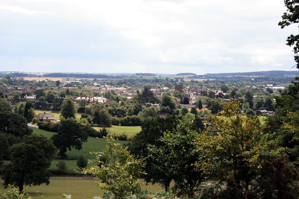
Newport is a civil parish located in the county of Shropshire, England. It is situated in the central part of the county, approximately 6 miles northeast of Telford and 12 miles northwest of Stafford. The town of Newport serves as the main administrative center for the parish.
Newport is a historic market town with a rich heritage dating back to the 12th century. It is known for its picturesque streets lined with Georgian and Victorian buildings, which contribute to its charming and traditional atmosphere. The town has a population of around 12,000 people, making it a vibrant and bustling community.
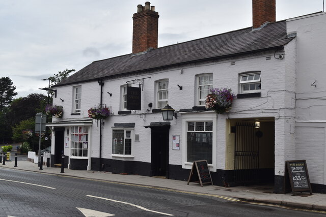
The town center of Newport offers a wide range of amenities, including shops, restaurants, and pubs. It also hosts a regular market, which has been a tradition since medieval times. The parish is home to several churches, including St. Nicholas Church, a Grade I listed building that dates back to the 12th century.
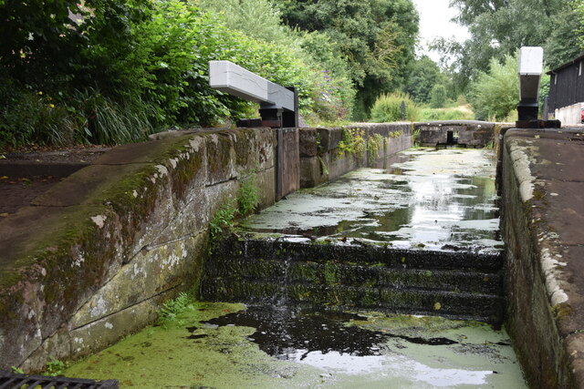
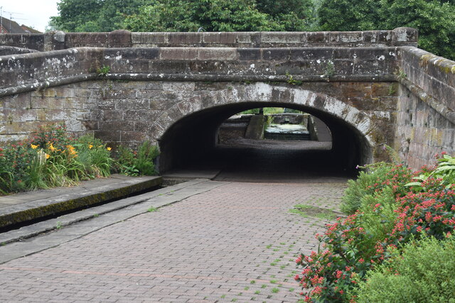
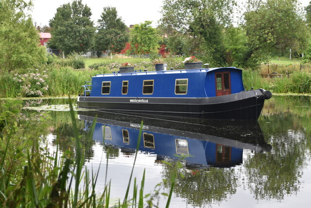
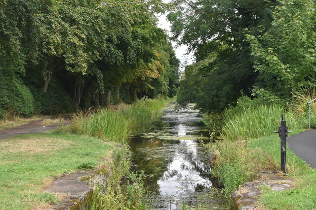
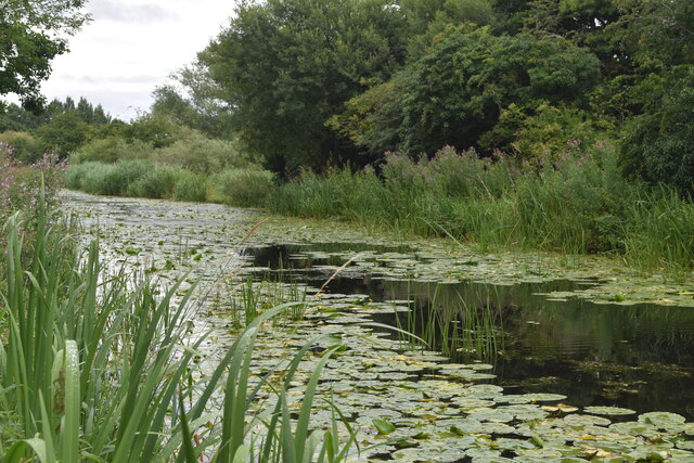
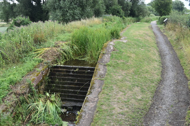
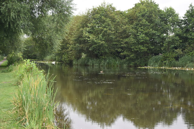
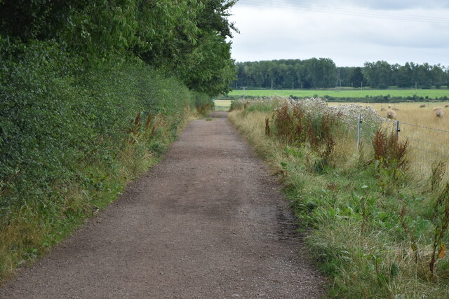
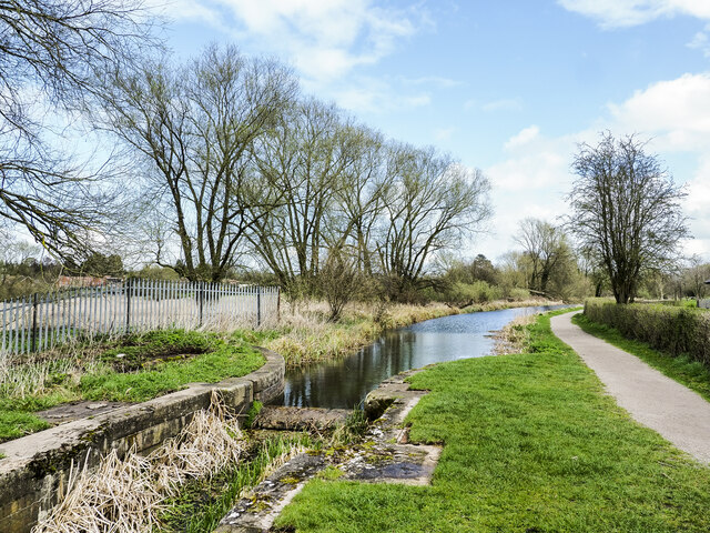
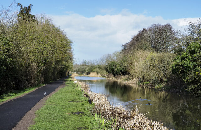
Newport is surrounded by beautiful countryside, providing ample opportunities for outdoor activities such as walking, cycling, and horse riding. The nearby Shropshire Union Canal offers scenic walks and boating opportunities.
The town is well-connected by road and rail, with the A41 and A518 roads passing through the area, and a train station providing regular services to destinations such as Shrewsbury, Birmingham, and London.
Overall, Newport, Shropshire is a charming and historic town, boasting a range of amenities and a thriving community, all set within the stunning Shropshire countryside.
If you have any feedback on the listing, please let us know in the comments section below.
Newport Images
Images are sourced within 2km of 52.770586/-2.375104 or Grid Reference SJ7419. Thanks to Geograph Open Source API. All images are credited.


Newport is located at Grid Ref: SJ7419 (Lat: 52.770586, Lng: -2.375104)
Unitary Authority: Telford and Wrekin
Police Authority: West Mercia
What 3 Words
///disco.tradition.museum. Near Newport, Shropshire
Related Wikis

Old Town Hall, Newport
The Old Town Hall is a municipal building in St Mary Street, Newport, Shropshire, England. The structure, which is now divided into a series of shop units...
Newport, Shropshire
Newport is a market town in the borough of Telford and Wrekin in Shropshire, England. It lies 7 miles (11 km) north-east of Telford town centre, 12 miles...
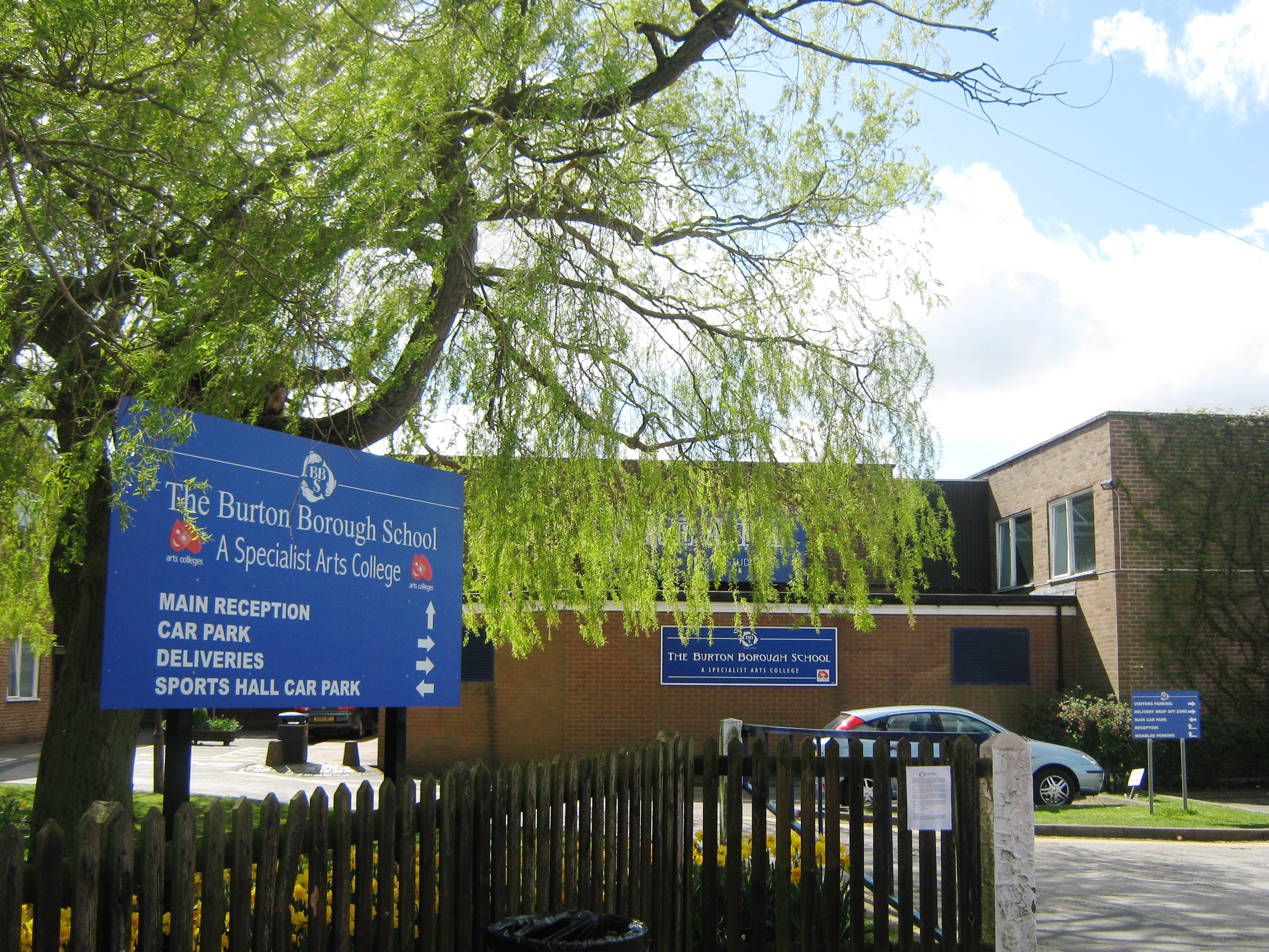
Burton Borough School
Burton Borough School (often abbreviated as 'BBS') is a coeducational secondary school situated on the southern edge of Newport, Shropshire, England, in...
St Nicholas Church, Newport
St Nicholas's Church is an Anglican church in the market town of Newport, Shropshire, England lying within the Diocese of Lichfield. It is dedicated to...

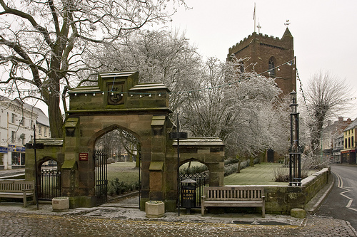
Puleston Cross
The Puleston Cross is a Butter cross in the market town of Newport, in the Telford and Wrekin district, in the ceremonial county of Shropshire, England...
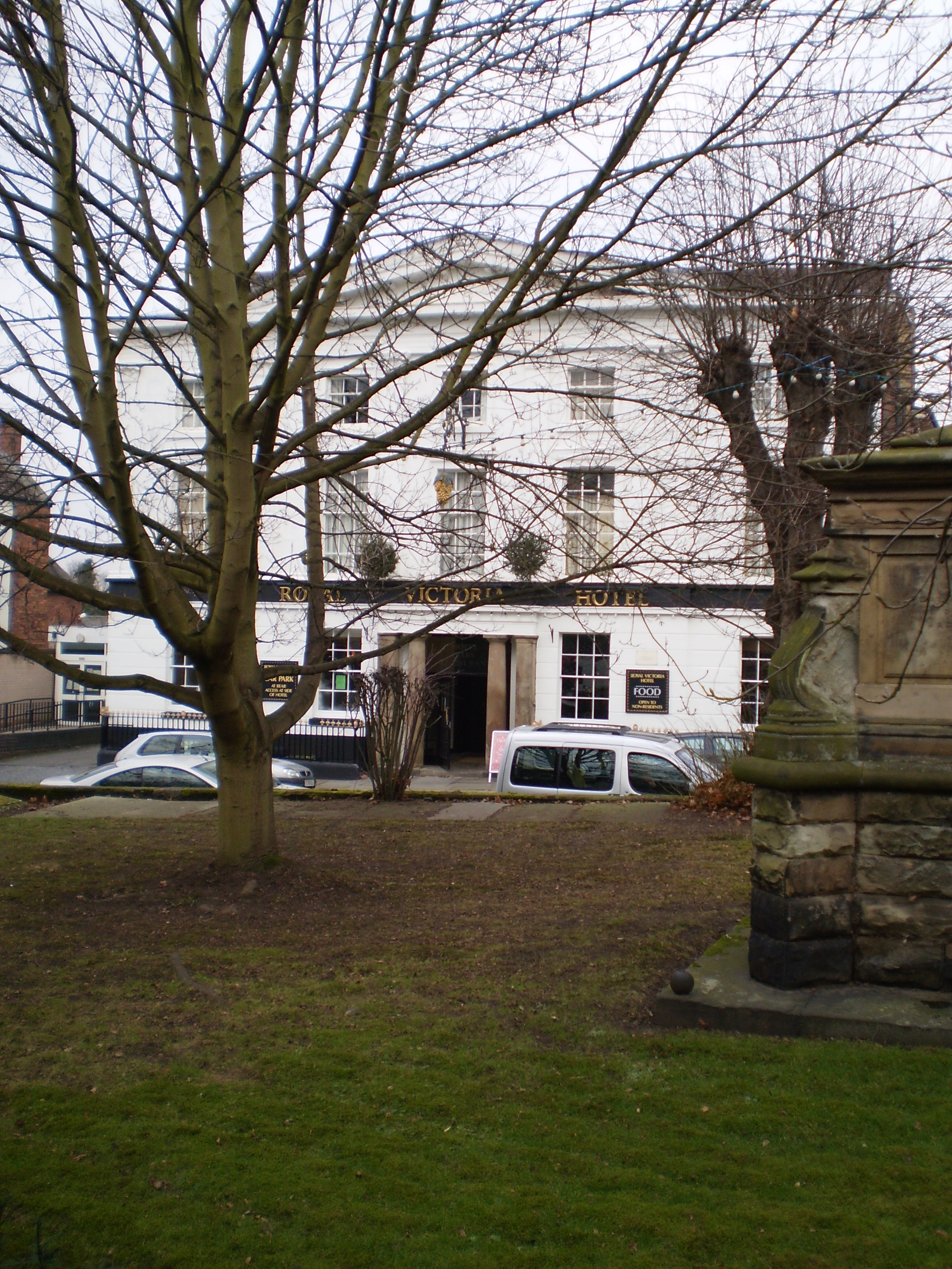
The Royal Victoria Hotel
The Royal Victoria Hotel is a former hotel situated in Newport, Shropshire. It dates back to 1830 and gains its name from Queen Victoria, who as Princess...

Newport Rural District
Newport was a rural district in Shropshire, England from 1894 to 1934. It was formed under the Local Government Act 1894 from that part of the Newport...

Castle House School
Haberdashers' Castle House School is an independent preparatory day school for boys and girls, first established in 1944, at Chetwynd End, Newport, Shropshire...
Related Videos

Walking The Stafford To Newport Greenway (3) Gnosall To Newport
The third and final part of my walk along the Stafford to Newport Greenway. Continuing from the A518 at the village of Gnosall and ...

Условия проживания на работе в Великобритании
В данном видео показываю, какие условия нам предоставил работодатель, сколько это стоит, некоторые важные моменты ...

Не уезжайте работать в Великобританию, посмотрите, как тут живут обычные рабочие: плюсы и минусы
Показываю наши домики на колёсах. Нас четверо ребят с Урала поселили в таком. Показываю, как мы живём. На какие ...

Обучение работе на ферме в Великобритании
Кратко рассказываю, чему нас научили на первоначальном обучении на ферме в Великобритании. Подписывали кучу ...
Nearby Amenities
Located within 500m of 52.770586,-2.375104Have you been to Newport?
Leave your review of Newport below (or comments, questions and feedback).