Newport
Civil Parish in Yorkshire
England
Newport

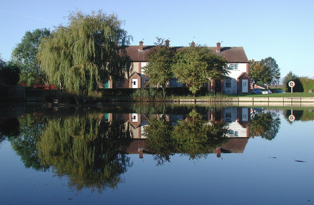
Newport is a civil parish located in the East Riding of Yorkshire, England. It is situated approximately 5 miles southwest of the market town of Market Weighton and about 20 miles east of the city of York. The parish covers an area of around 9 square miles and has a population of approximately 300 residents.
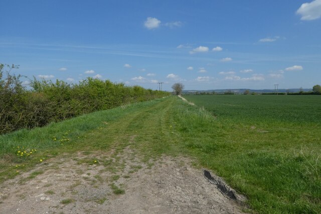
The landscape of Newport is predominantly rural, characterized by rolling hills, farmland, and small pockets of woodland. The picturesque River Foulness flows through the parish, adding to its natural beauty. The area is known for its peaceful and tranquil atmosphere, making it an ideal place for those seeking a quiet retreat from the hustle and bustle of city life.
In terms of amenities, Newport offers limited facilities. There is a small primary school serving the local community, as well as a village hall that hosts various events and activities throughout the year. However, residents generally rely on nearby towns for shopping, healthcare, and other essential services.
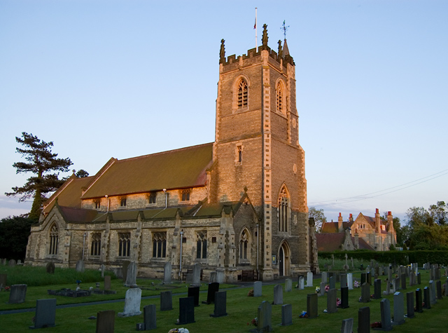
Newport is rich in history, with evidence of human habitation dating back to the Neolithic period. The parish is home to several ancient landmarks, including the Grade II listed Newport Parish Church, which dates back to the 12th century. Additionally, there are remnants of medieval earthworks and burial mounds in the surrounding countryside, providing insight into the area's past.
Overall, Newport, Yorkshire, offers a tranquil rural setting with a close-knit community. Its natural beauty and historical significance make it an attractive destination for those seeking a peaceful retreat or an opportunity to explore the region's rich heritage.
If you have any feedback on the listing, please let us know in the comments section below.
Newport Images
Images are sourced within 2km of 53.759531/-0.698379 or Grid Reference SE8530. Thanks to Geograph Open Source API. All images are credited.


Newport is located at Grid Ref: SE8530 (Lat: 53.759531, Lng: -0.698379)
Division: East Riding
Unitary Authority: East Riding of Yorkshire
Police Authority: Humberside
What 3 Words
///victory.costumed.movie. Near Newport, East Yorkshire
Related Wikis
Newport, East Riding of Yorkshire
Newport is a village and civil parish in the East Riding of Yorkshire, England. It is approximately 7 miles (11 km) east of the market town of Howden....
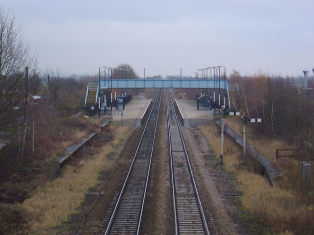
Wallingfen railway station
Wallingfen railway station was a station on the Hull and Barnsley Railway, and served the village of Newport in the East Riding of Yorkshire, England....

Faxfleet Preceptory
The Faxfleet Preceptory is a former community of the Knights Templar located in what is now the East Riding of Yorkshire, England. It stood on lands which...
Scalby, East Riding of Yorkshire
Scalby is a hamlet in the East Riding of Yorkshire, England. It is situated approximately 7 miles (11 km) west of Brough and 7 miles (11 km) north-east...
Fairview Studios
Fairview Studios is an independent recording studio located in Willerby, East Riding of Yorkshire, England. Established by a local man Keith Herd in 1966...
Gilberdyke railway station
Gilberdyke railway station is a railway station that serves the village of Gilberdyke in the East Riding of Yorkshire, England. It was opened in 1840 by...
Gilberdyke
Gilberdyke is a village and civil parish in the East Riding of Yorkshire, England. It is situated approximately 20 miles (32 km) south-east of York and...
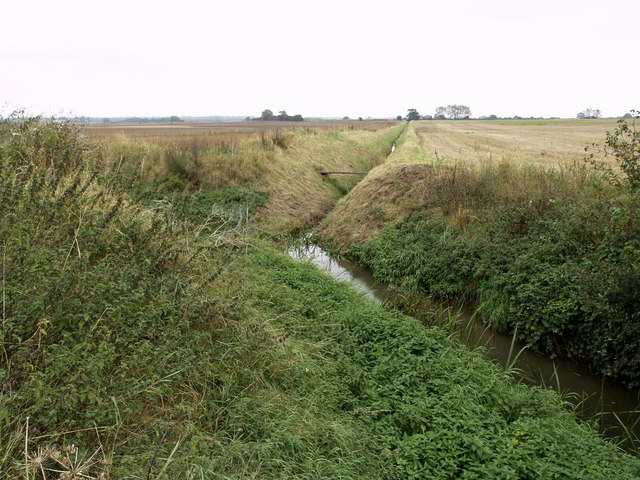
River Foulness
The River Foulness is a river in the East Riding of Yorkshire, England. Its name is derived from Old English fūle[n] ēa, meaning “dirty water”. Maintenance...
Nearby Amenities
Located within 500m of 53.759531,-0.698379Have you been to Newport?
Leave your review of Newport below (or comments, questions and feedback).