Newport
Settlement in Shropshire
England
Newport
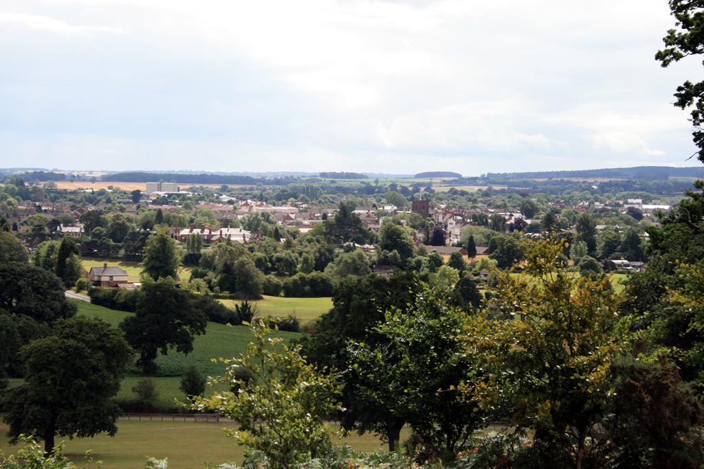
Newport is a historic market town located in Shropshire, England. Situated on the eastern edge of the county, Newport is approximately 16 miles east of Telford and about 22 miles northwest of the city of Wolverhampton. With a population of around 11,000 people, it is the largest town in the borough of Telford and Wrekin.
The town's history can be traced back to the 12th century when a castle was built by the Normans. Today, remnants of the castle can still be seen, including the impressive stone tower known as Newport Castle. The town's medieval origins are evident in its charming streets, lined with timber-framed buildings and historic architecture.
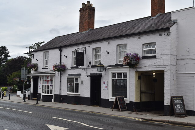
Newport boasts a vibrant town center, with a range of shops, cafes, restaurants, and traditional pubs. The town is known for its regular markets, which attract visitors from the surrounding areas. The Newport Market Hall, a Grade II listed building, is a popular spot for locals and visitors alike to browse and purchase a variety of goods.
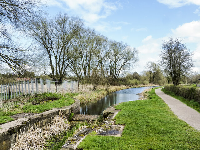
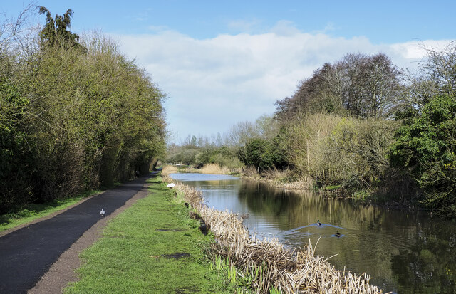
Surrounded by picturesque countryside, Newport offers plenty of opportunities for outdoor activities. The nearby Shropshire Hills Area of Outstanding Natural Beauty provides stunning landscapes for walking, hiking, and exploring. The town is also well-connected, with good transport links to nearby cities and towns, making it an ideal base for both residents and tourists.
In terms of education, Newport is served by several primary schools and a secondary school, providing a well-rounded education for the local community.
Overall, Newport is a charming market town with a rich history, picturesque surroundings, and a friendly community, making it an appealing destination for both residents and visitors.
If you have any feedback on the listing, please let us know in the comments section below.
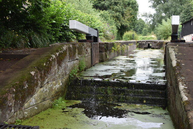
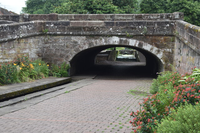
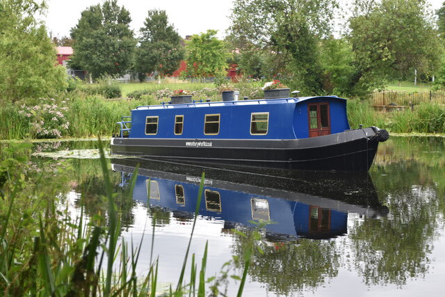
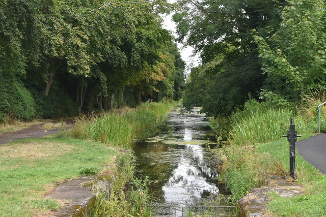
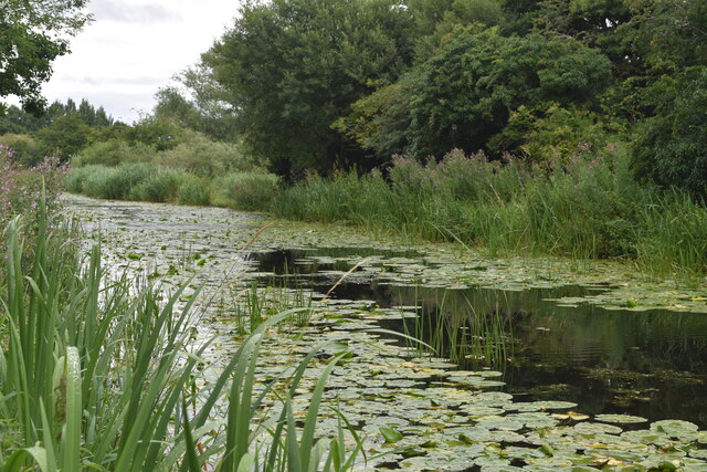
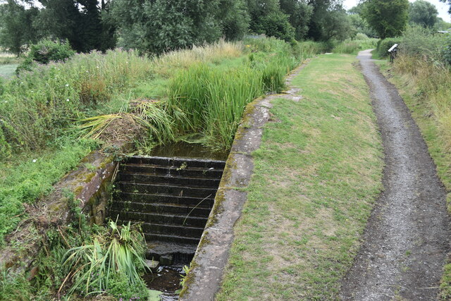
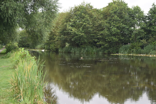
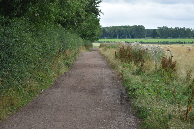
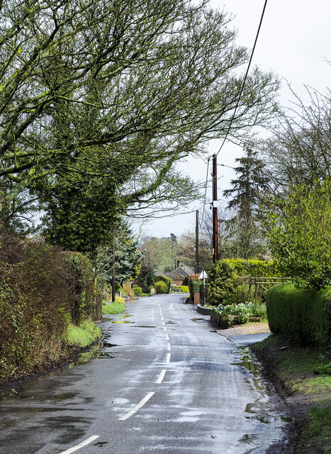
Newport Images
Images are sourced within 2km of 52.768796/-2.378498 or Grid Reference SJ7419. Thanks to Geograph Open Source API. All images are credited.

Newport is located at Grid Ref: SJ7419 (Lat: 52.768796, Lng: -2.378498)
Unitary Authority: Telford and Wrekin
Police Authority: West Mercia
What 3 Words
///influencing.revealing.breaches. Near Newport, Shropshire
Related Wikis

Old Town Hall, Newport
The Old Town Hall is a municipal building in St Mary Street, Newport, Shropshire, England. The structure, which is now divided into a series of shop units...
Newport, Shropshire
Newport is a market town in the borough of Telford and Wrekin in Shropshire, England. It lies 7 miles (11 km) north-east of Telford town centre, 12 miles...
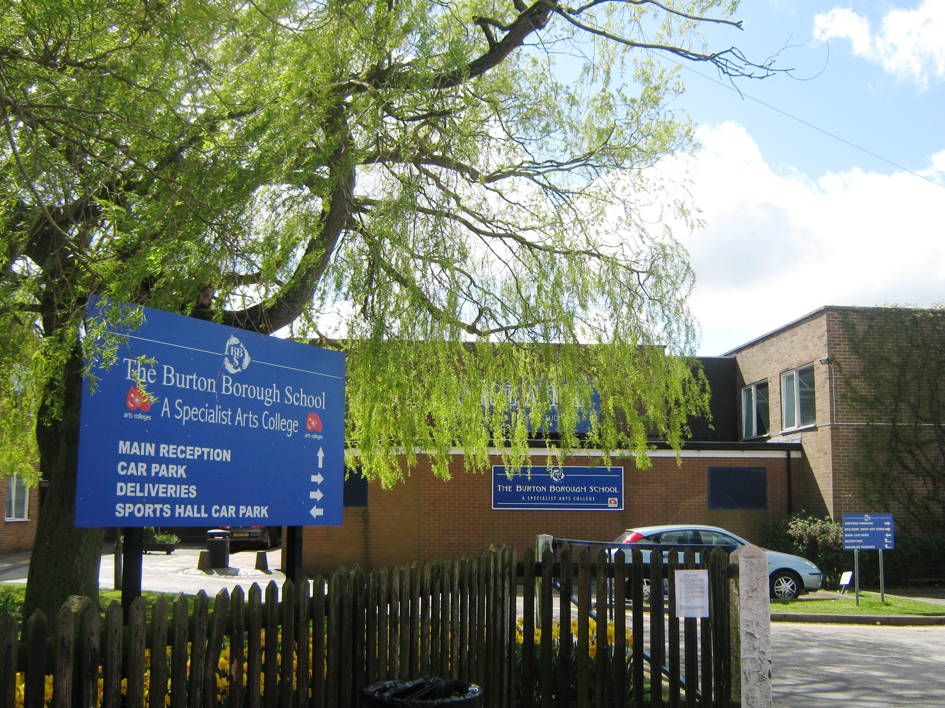
Burton Borough School
Burton Borough School (often abbreviated as 'BBS') is a coeducational secondary school situated on the southern edge of Newport, Shropshire, England, in...

Newport Rural District
Newport was a rural district in Shropshire, England from 1894 to 1934. It was formed under the Local Government Act 1894 from that part of the Newport...
Nearby Amenities
Located within 500m of 52.768796,-2.378498Have you been to Newport?
Leave your review of Newport below (or comments, questions and feedback).