Newington
Civil Parish in Kent Folkestone and Hythe
England
Newington

Newington is a civil parish located in the county of Kent, in southeastern England. It is situated approximately 3 miles southwest of the town of Sittingbourne and 45 miles southeast of London. The parish covers an area of around 7 square miles and is surrounded by the beautiful Kent countryside.
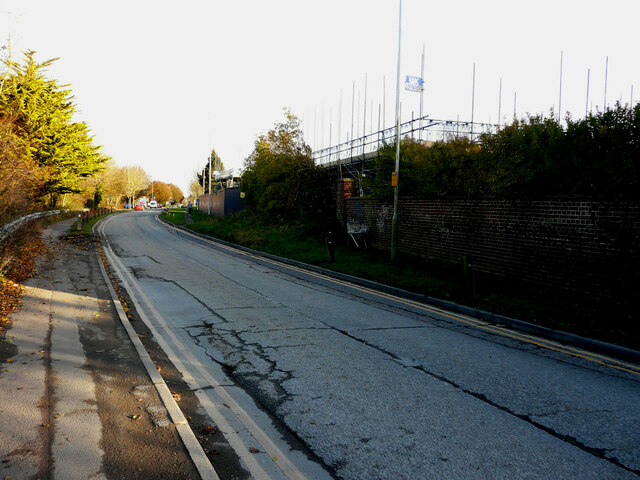
The village of Newington is the main settlement within the parish and is home to a population of around 2,500 residents. It has a rich history, with evidence of human habitation in the area dating back to the Bronze Age. The village itself has a charming, traditional English feel, with a mix of old cottages, Georgian houses, and modern developments.
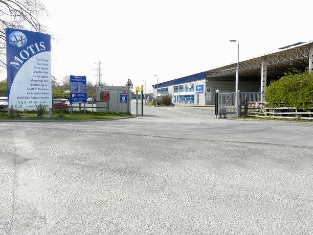
Newington benefits from a range of amenities, including a primary school, a village hall, a post office, and a few local shops. There are also several pubs and restaurants offering a variety of cuisines. The village is well-connected to neighboring towns and cities, with good transport links to Sittingbourne and Maidstone.
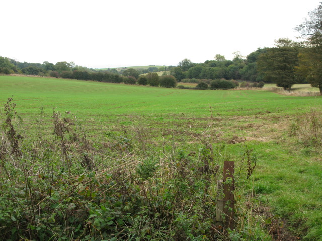
The surrounding countryside provides ample opportunities for outdoor activities, such as walking, cycling, and horse riding. The parish is also close to the North Kent Marshes, an important nature reserve known for its diverse wildlife and bird populations.
Overall, Newington is a peaceful and picturesque civil parish that offers a close-knit community, beautiful landscapes, and easy access to nearby urban areas.
If you have any feedback on the listing, please let us know in the comments section below.
Newington Images
Images are sourced within 2km of 51.103327/1.112378 or Grid Reference TR1738. Thanks to Geograph Open Source API. All images are credited.


Newington is located at Grid Ref: TR1738 (Lat: 51.103327, Lng: 1.112378)
Administrative County: Kent
District: Folkestone and Hythe
Police Authority: Kent
What 3 Words
///quiet.arranged.shapeless. Near Lyminge, Kent
Nearby Locations
Related Wikis
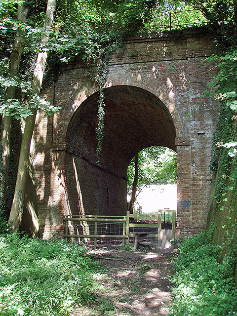
Elham Valley Railway
The Elham Valley Railway was a line connecting Folkestone and Canterbury in Kent, England. It opened between 1887 and 1889 and closed in 1947. The line...

Frogholt
Frogholt is a hamlet near Folkestone in Kent, England, on the banks of the Seabrook stream. There are eight houses in Frogholt. The hamlet is part of a...
Beachborough
Beachborough is a hamlet WNW of Folkestone in Kent, England. It lies south of Etchinghill on a minor cross-country route. At the 2011 Census the population...
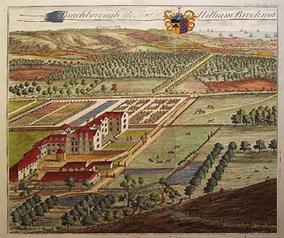
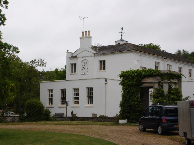
Beachborough Manor
Beachborough Manor is a manor in Beachborough, near Folkestone, in Kent. It was developed into a small landed estate, generally known as Beachborough Park...

Folkestone to Etchinghill Escarpment
Folkestone to Etchinghill Escarpment is a 263.2-hectare (650-acre) biological and geological Site of Special Scientific Interest on the northern outskirts...
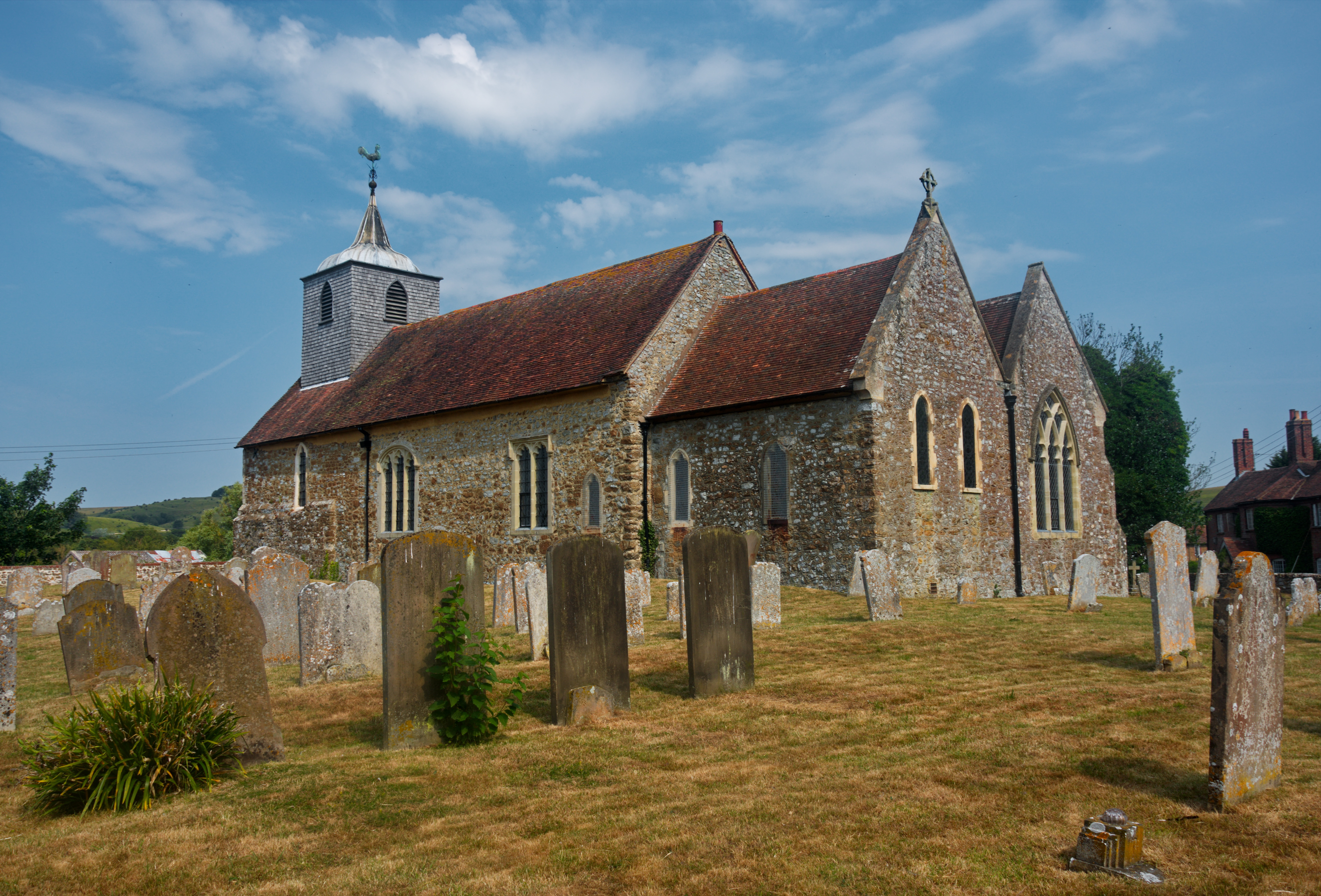
Newington, Folkestone and Hythe
Newington is a village and civil parish in the English county of Kent located 1 mile (1.6 km) north-west of Folkestone. It gives its name to Newington...

Danton Pinch
Danton Pinch was a small hamlet in Kent, England situated north-west of Folkestone. Its location is now within the confines of the Channel Tunnel development...
Arpinge
Arpinge is a hamlet between Paddlesworth and Newington (where, at the 2011 Census, the population was included) to the west of Folkestone in Kent, England...
Nearby Amenities
Located within 500m of 51.103327,1.112378Have you been to Newington?
Leave your review of Newington below (or comments, questions and feedback).