Elm Gardens
Wood, Forest in Kent Shepway
England
Elm Gardens

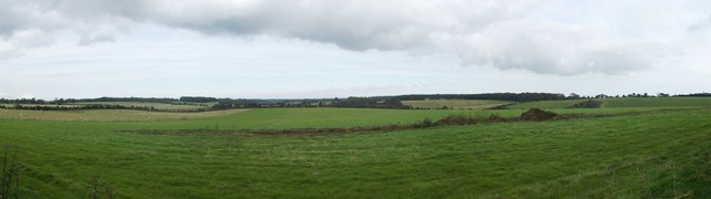
Elm Gardens is a picturesque residential neighborhood located in the county of Kent, England. Situated amidst lush woodlands and dense forests, this idyllic community offers a serene and tranquil living environment. The neighborhood derives its name from the abundance of elm trees that populate the area, adding to its natural charm.
Elm Gardens is known for its close-knit community and friendly atmosphere, making it an ideal place to raise a family or settle down. The neighborhood boasts a range of housing options, including spacious detached houses, cozy cottages, and modern apartments, catering to a diverse range of preferences and budgets.
Nature enthusiasts and outdoor lovers will find Elm Gardens to be a paradise. With its proximity to woodlands and forests, residents have ample opportunities for leisurely strolls, hiking, and exploring the natural beauty that surrounds them. The area is also home to various wildlife, including deer and a variety of bird species, making it a haven for birdwatchers and nature photographers.
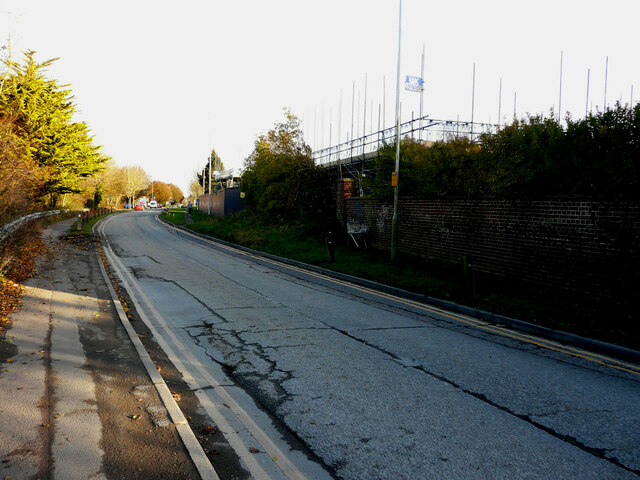
Elm Gardens benefits from excellent transport links, with easy access to major roads and motorways, making commuting to nearby towns and cities convenient. The neighborhood is also well-served by public transportation, with regular bus services connecting residents to the wider Kent area.
For everyday amenities, Elm Gardens has a range of local shops, supermarkets, and restaurants in close proximity. Additionally, neighboring towns offer a wider array of shopping and entertainment options, ensuring that residents have all they need within easy reach.
In summary, Elm Gardens in Kent is a charming and peaceful neighborhood nestled amidst woodlands and forests. With its strong sense of community, beautiful natural surroundings, and convenient amenities, it is a highly sought-after place to call home.
If you have any feedback on the listing, please let us know in the comments section below.
Elm Gardens Images
Images are sourced within 2km of 51.105644/1.1125887 or Grid Reference TR1738. Thanks to Geograph Open Source API. All images are credited.


Elm Gardens is located at Grid Ref: TR1738 (Lat: 51.105644, Lng: 1.1125887)
Administrative County: Kent
District: Shepway
Police Authority: Kent
What 3 Words
///conqueror.recorders.flash. Near Lyminge, Kent
Nearby Locations
Related Wikis
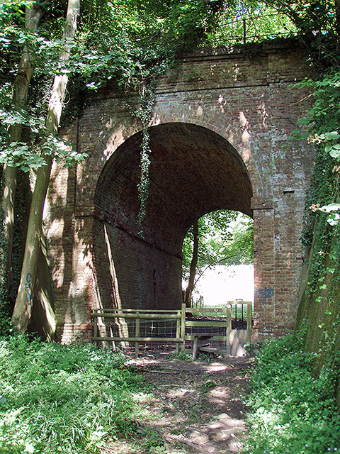
Elham Valley Railway
The Elham Valley Railway was a line connecting Folkestone and Canterbury in Kent, England. It opened between 1887 and 1889 and closed in 1947. The line...
Beachborough
Beachborough is a hamlet WNW of Folkestone in Kent, England. It lies south of Etchinghill on a minor cross-country route. At the 2011 Census the population...
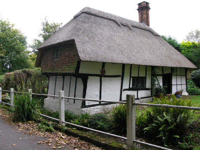
Frogholt
Frogholt is a hamlet near Folkestone in Kent, England, on the banks of the Seabrook stream. There are eight houses in Frogholt. The hamlet is part of a...
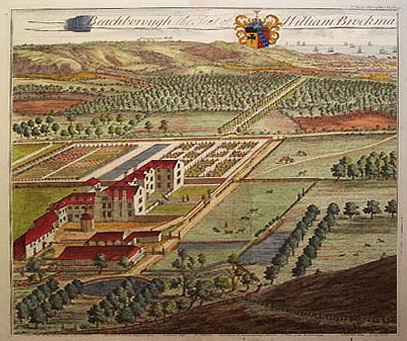
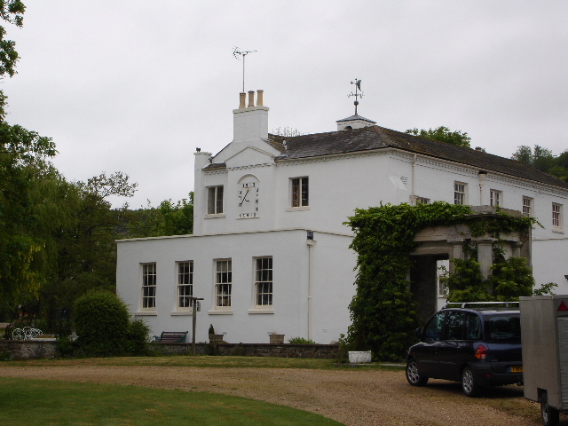
Beachborough Manor
Beachborough Manor is a manor in Beachborough, near Folkestone, in Kent. It was developed into a small landed estate, generally known as Beachborough Park...
Nearby Amenities
Located within 500m of 51.105644,1.1125887Have you been to Elm Gardens?
Leave your review of Elm Gardens below (or comments, questions and feedback).