Coombe Wood
Wood, Forest in Kent Shepway
England
Coombe Wood

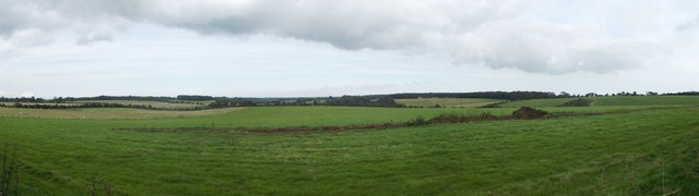
Coombe Wood, located in Kent, England, is a picturesque woodland area nestled within the larger Coombe Valley Nature Reserve. Covering an area of approximately 40 hectares, it is a beloved destination for nature enthusiasts and walkers alike. The wood is well-known for its diverse range of trees, including oak, ash, and beech, which create a lush and vibrant canopy overhead.
One of the highlights of Coombe Wood is its network of well-maintained trails, providing visitors with the opportunity to explore the area at their own pace. These paths wind through the wood, offering glimpses of wildflowers, ferns, and mosses that thrive in the shade of the trees. The wood is also home to a variety of wildlife, such as squirrels, birds, and butterflies, making it a haven for nature lovers and photographers.
Coombe Wood is not only a natural treasure but also holds historical significance. It was once part of a larger estate owned by the Marquess of Abergavenny and played a vital role in supplying timber for shipbuilding during the Victorian era. Today, the remnants of the old sawmill can still be found within the wood, serving as a reminder of its industrial past.
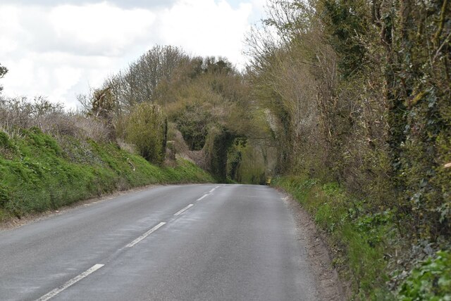
To enhance the visitor experience, Coombe Wood has well-placed benches and picnic areas that allow visitors to take a break and immerse themselves in the serene surroundings. Additionally, there is ample parking available nearby, and the wood is easily accessible by public transportation.
Coombe Wood, with its captivating beauty and rich history, is a cherished natural gem that offers a tranquil retreat for anyone seeking to reconnect with nature in the heart of Kent.
If you have any feedback on the listing, please let us know in the comments section below.
Coombe Wood Images
Images are sourced within 2km of 51.107912/1.1051111 or Grid Reference TR1738. Thanks to Geograph Open Source API. All images are credited.


Coombe Wood is located at Grid Ref: TR1738 (Lat: 51.107912, Lng: 1.1051111)
Administrative County: Kent
District: Shepway
Police Authority: Kent
What 3 Words
///pegs.grounding.weds. Near Lyminge, Kent
Nearby Locations
Related Wikis
Etchinghill, Kent
Etchinghill is a village in Kent, England, about 5 km north of Hythe, and 1 km north of the Channel Tunnel terminal at Cheriton, near Folkestone. It is...
Beachborough
Beachborough is a hamlet WNW of Folkestone in Kent, England. It lies south of Etchinghill on a minor cross-country route. At the 2011 Census the population...
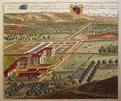
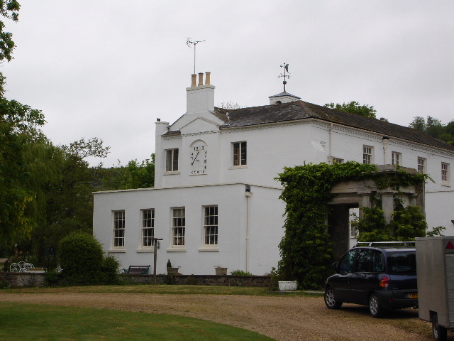
Beachborough Manor
Beachborough Manor is a manor in Beachborough, near Folkestone, in Kent. It was developed into a small landed estate, generally known as Beachborough Park...
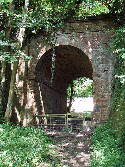
Elham Valley Railway
The Elham Valley Railway was a line connecting Folkestone and Canterbury in Kent, England. It opened between 1887 and 1889 and closed in 1947. The line...

Frogholt
Frogholt is a hamlet near Folkestone in Kent, England, on the banks of the Seabrook stream. There are eight houses in Frogholt. The hamlet is part of a...
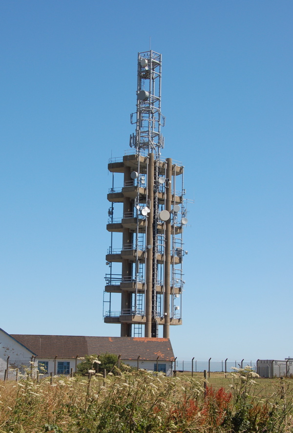
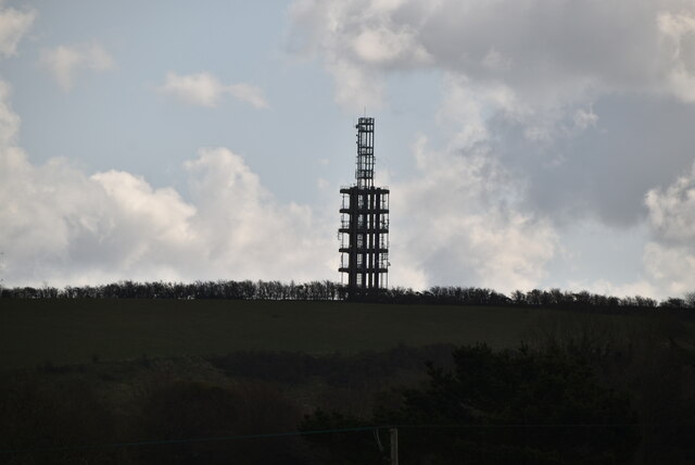
Tolsford Hill BT Tower
Tolsford Hill BT Tower is a telecommunication tower built of reinforced concrete at Tolsford Hill on the North Downs near Folkestone, Kent. Tolsford Hill...

Folkestone and Hythe (UK Parliament constituency)
Folkestone and Hythe () is a constituency in Kent represented in the House of Commons of the UK Parliament since 2010 by Damian Collins, a Conservative...

Folkestone to Etchinghill Escarpment
Folkestone to Etchinghill Escarpment is a 263.2-hectare (650-acre) biological and geological Site of Special Scientific Interest on the northern outskirts...
Nearby Amenities
Located within 500m of 51.107912,1.1051111Have you been to Coombe Wood?
Leave your review of Coombe Wood below (or comments, questions and feedback).