Newick

Civil Parish in Sussex Lewes

England

Newick

Field Corner A field corner where the Sussex Ouse Valley Way turns right heading towards Double Barns Farm.
Field Corner Credit: Chris Thomas-Atkin

Newick is a civil parish located in the county of East Sussex, England. Situated approximately 11 miles north-west of the coastal town of Eastbourne and 10 miles east of the county town of Lewes, it is strategically located in the heart of the Sussex Weald.

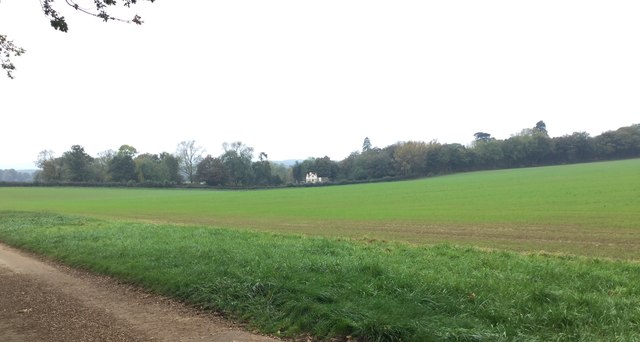
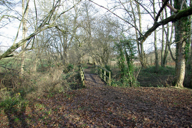
The village of Newick is surrounded by picturesque countryside, characterized by rolling hills, dense woodlands, and meandering streams. The parish covers an area of about 18 square kilometers and has a population of around 3,500 inhabitants.

Newick has a rich history dating back to the medieval period, with evidence of human habitation in the area since Roman times. The village is known for its charming traditional architecture, with many historic buildings still standing, including the 13th-century St. Mary's Church, which is a notable local landmark.

The village center features a range of amenities, including a village green, shops, pubs, and a primary school. The community is vibrant and close-knit, with various local events and activities taking place throughout the year. The annual Newick Bonfire Night celebration is particularly popular, attracting visitors from near and far.

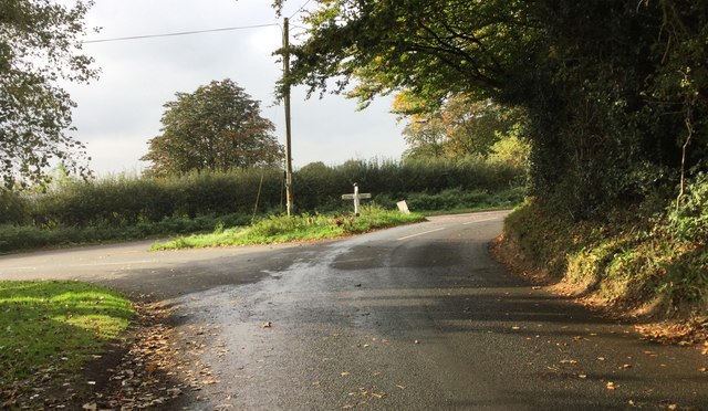
Newick is well-connected to the surrounding areas by road, with the A272 passing through the village, providing easy access to nearby towns and cities. The village is also served by regular bus services, connecting it to neighboring communities.

With its idyllic rural setting, historical charm, and strong sense of community, Newick offers residents and visitors alike a peaceful and picturesque place to live or explore.

If you have any feedback on the listing, please let us know in the comments section below.
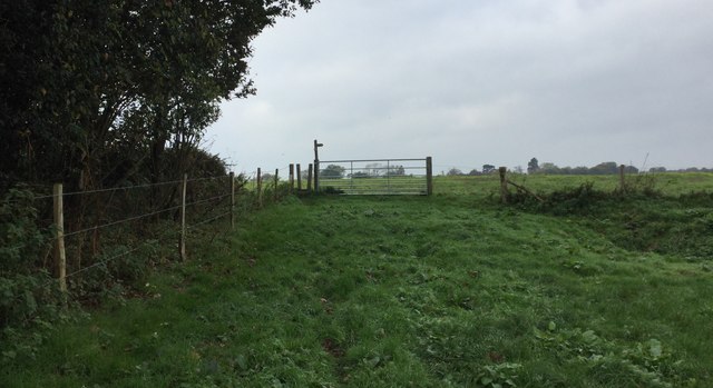
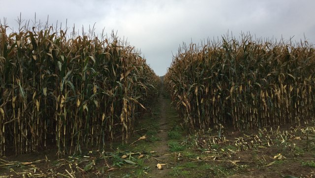
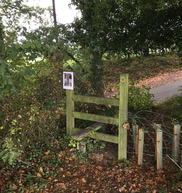
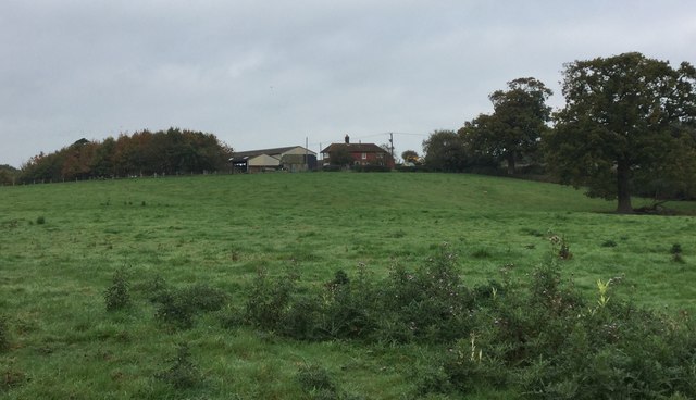
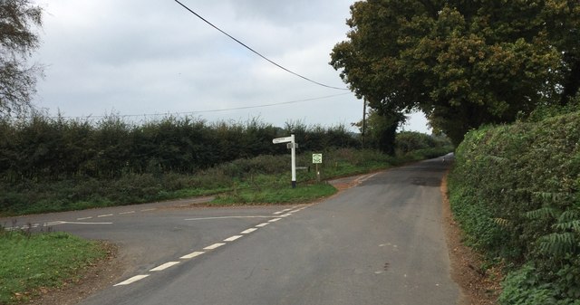
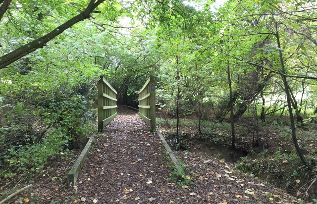
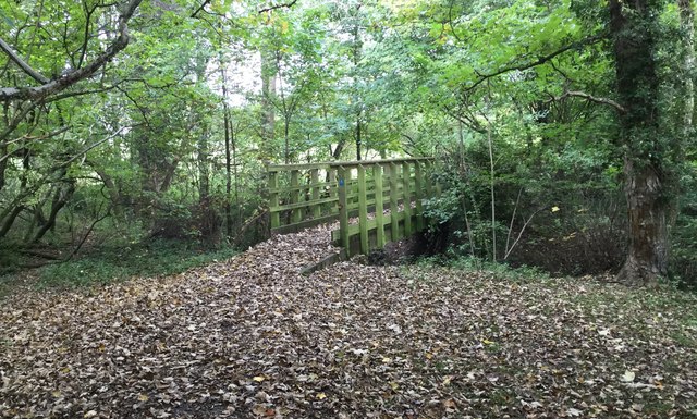
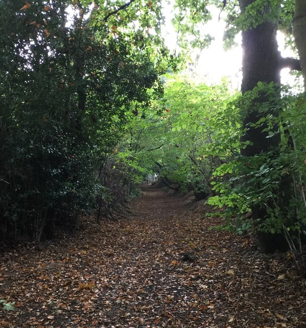
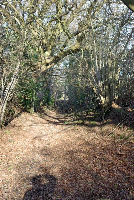
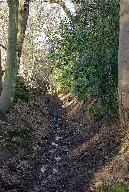
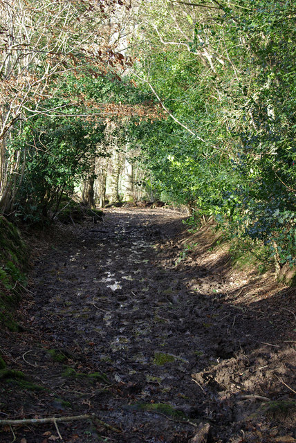
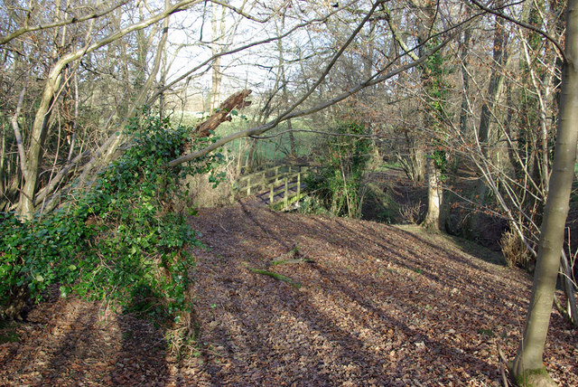
Newick Images

Images are sourced within 2km of 50.968505/0.021702 or Grid Reference TQ4220. Thanks to Geograph Open Source API. All images are credited.

Field Corner A field corner where the Sussex Ouse Valley Way turns right heading towards Double Barns Farm.
Field Corner
A field corner where the Sussex Ouse Valley Way turns right heading towards Double Barns Farm.
Footpath through the crops Near Vuggles Farm the footpath heads across a field through a narrow gap in the tall corn stems.
Footpath through the crops
Near Vuggles Farm the footpath heads across a field through a narrow gap in the tall corn stems.
Stile at Bunce’s Wood Approaching the stile at a corner of Bunce’s Wood where the footpath from Vuggles Farm drops down to a road.
Stile at Bunce’s Wood
Approaching the stile at a corner of Bunce’s Wood where the footpath from Vuggles Farm drops down to a road.
Double Barns Farm Double Barns Farm viewed from the public footpath.
Double Barns Farm
Double Barns Farm viewed from the public footpath.
Cottage near Newick Park A cottage near Newick Park viewed from the public footpath passing Double Barns Farm.
Cottage near Newick Park
A cottage near Newick Park viewed from the public footpath passing Double Barns Farm.
Pond near Double Barns Farm The small pond near Double Barns Farm viewed from the passing public footpath.
Pond near Double Barns Farm
The small pond near Double Barns Farm viewed from the passing public footpath.
Trig Point near Newick Park The Trig Point which the Ordnance Survey map records as being 55 metres above sea level.
Trig Point near Newick Park
The Trig Point which the Ordnance Survey map records as being 55 metres above sea level.
Road Junction near Founthill Approaching the road junction close to Schoolhouse Farm.
Road Junction near Founthill
Approaching the road junction close to Schoolhouse Farm.
Markstakes Lane Approaching Markstakes Lane.
Markstakes Lane
Approaching Markstakes Lane.
Approaching Cockfield Bridge The footbridge on Cockfield Lane (Path) which crosses a small stream.
Approaching Cockfield Bridge
The footbridge on Cockfield Lane (Path) which crosses a small stream.
Cockfield Bridge Cockfield Lane is a Path and at this point a footbridge crosses a small stream.
Cockfield Bridge
Cockfield Lane is a Path and at this point a footbridge crosses a small stream.
Cockfield Lane Cockfield Lane is actually a Path which runs on a North to South orientation. It runs parallel to the disused railway line to Lewes.
Cockfield Lane
Cockfield Lane is actually a Path which runs on a North to South orientation. It runs parallel to the disused railway line to Lewes.
Cockfield Lane A public bridleway.
Cockfield Lane
A public bridleway.
Cockfield Lane A public bridleway.
Cockfield Lane
A public bridleway.
Ridgeland Farm Looking from Cockfield Lane.
Ridgeland Farm
Looking from Cockfield Lane.
Cockfield Lane A public bridleway - a bit of a winter morass near the bottom of the Longford Stream valley.
Cockfield Lane
A public bridleway - a bit of a winter morass near the bottom of the Longford Stream valley.
Cockfield Lane crosses the Longford Stream A public bridleway.
Cockfield Lane crosses the Longford Stream
A public bridleway.
Cockfield Lane crosses the Longford Stream A public bridleway.
Cockfield Lane crosses the Longford Stream
A public bridleway.
Show me another place!

Newick is located at Grid Ref: TQ4220 (Lat: 50.968505, Lng: 0.021702)

Administrative County: East Sussex

District: Lewes

Police Authority: Sussex

What 3 Words

///exonerate.groomed.refer. Near Newick, East Sussex

Related Wikis

Zion Chapel, Newick

Zion Chapel is a former Strict Baptist place of worship in the village of Newick in Lewes District, one of six local government districts in the English...

Newick

Newick is a village, civil parish and electoral ward in the Lewes District of East Sussex, England. It is located on the A272 road six miles (9.7 km) east...

Newick and Chailey railway station

Newick and Chailey was a railway station located in North Chailey and located near the villages of Newick and Chailey in East Sussex, England. It was part...

Chailey

Chailey is a village and civil parish in the Lewes District of East Sussex, England. It is located 7 miles north of Lewes, on the A272 road from Winchester...

Fletching, East Sussex

Fletching is a village and civil parish in the Wealden District of East Sussex, England. It is located three miles (4.8 km) to the north-west of Uckfield...

Piltdown

Piltdown is a series of hamlets in East Sussex, England, located south of Ashdown Forest. It is best known for the Piltdown Man hoax where amateur archaeologist...

Chailey Common

Chailey Common is a 169 hectare (417.4 acre) biological site of Special Scientific Interest in the East Sussex. It is close to the village of North Chailey...

Sheffield Park cricket ground

Sheffield Park is a cricket ground at the Sheffield Park estate, located near Uckfield, East Sussex, England. From 1881 to 1896 it was the home ground...

Nearby Amenities

Located within 500m of 50.968505,0.021702
Barrier: kissing_gate
Lat/Long: 50.9688222/0.0167124
Post Box
Brand: Royal Mail
Brand Wikidata: Q638098
Brand Wikipedia: en:Royal Mail
Operator: Royal Mail
Operator Wikidata: Q638098
Post Box Type: wall
Ref: BN8 507
Royal Cypher: GR
Royal Cypher Wikidata: Q33102273
Lat/Long: 50.971781/0.0201954
Public Footpath
Information: guidepost
Tourism: information
Lat/Long: 50.9700767/0.0150333
Footpath
Information: guidepost
Operator: East Sussex County Council
Tourism: information
Lat/Long: 50.9692618/0.019885
Footpath
Information: guidepost
Operator: East Sussex County Council
Tourism: information
Lat/Long: 50.9697778/0.0170764
Footpath
Information: guidepost
Operator: East Sussex County Council
Tourism: information
Lat/Long: 50.9702485/0.0254151
Public Footpath
Information: guidepost
Tourism: information
Lat/Long: 50.9691783/0.0214917
Barrier: kissing_gate
Lat/Long: 50.9697666/0.0170664
Barrier: stile
Lat/Long: 50.9702513/0.0254425
Public Footpath
Information: guidepost
Tourism: information
Lat/Long: 50.9694074/0.0185317
Byway
Information: guidepost
Operator: East Sussex County Council
Tourism: information
Lat/Long: 50.9702622/0.0254941
Barrier: kissing_gate
Lat/Long: 50.9692041/0.0239852
Addr Housename: Greenfiels Cottage
Building: house
Lat/Long: 50.9710915/0.0198052
Barrier: stile
Stile: ladder
Lat/Long: 50.9690385/0.0241343
Cafe
The Pantry
Contact Facebook: https://www.facebook.com/newick.co.uk/
Phone: +44 1825 721118
Lat/Long: 50.9718332/0.0204058
Generator Method: photovoltaic
Generator Output Electricity: yes
Generator Source: solar
Generator Type: solar_photovoltaic_panel
Location: roof
Power: generator
Lat/Long: 50.9725064/0.0188023
Generator Method: photovoltaic
Generator Output Electricity: yes
Generator Source: solar
Generator Type: solar_photovoltaic_panel
Location: roof
Power: generator
Lat/Long: 50.9702854/0.0174746
Generator Method: photovoltaic
Generator Output Electricity: yes
Generator Source: solar
Generator Type: solar_photovoltaic_panel
Location: roof
Power: generator
Lat/Long: 50.9719153/0.0199208
Generator Method: photovoltaic
Generator Output Electricity: yes
Generator Source: solar
Generator Type: solar_photovoltaic_panel
Location: roof
Power: generator
Lat/Long: 50.971314/0.0220236
Generator Method: photovoltaic
Generator Output Electricity: yes
Generator Source: solar
Generator Type: solar_photovoltaic_panel
Location: roof
Power: generator
Lat/Long: 50.9713427/0.022088
Generator Method: photovoltaic
Generator Output Electricity: yes
Generator Source: solar
Generator Type: solar_photovoltaic_panel
Location: roof
Power: generator
Lat/Long: 50.9701198/0.0226352
The data included in this document is from www.openstreetmap.org. The data is made available under ODbL.

Have you been to Newick?

Leave your review of Newick below (or comments, questions and feedback).