Newholm-cum-Dunsley

Civil Parish in Yorkshire Scarborough

England

Newholm-cum-Dunsley

An empty A169 The heat of the previous week has dried out the grass verges, which are looking quite pale.
An empty A169 Credit: Malcolm Neal

Newholm-cum-Dunsley is a civil parish located in the county of Yorkshire, England. Situated on the eastern coast of the country, the parish is part of the Scarborough district. The civil parish is made up of two small villages, Newholm and Dunsley, which are surrounded by picturesque countryside and offer residents a peaceful and rural setting.

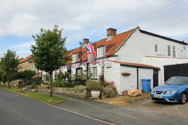
Newholm-cum-Dunsley is known for its historic charm and has a rich heritage dating back several centuries. The area is dotted with traditional stone cottages and farmhouses, which add to its quaint and idyllic atmosphere. The parish is also home to a number of listed buildings, including St. Hilda's Church in Newholm, which is a notable landmark.

The parish is surrounded by natural beauty, with the North York Moors National Park to the west and the North Sea to the east. This allows residents and visitors to enjoy a variety of outdoor activities, such as hiking, cycling, and beachcombing. The coastline offers stunning views and is a popular spot for birdwatching and seal spotting.

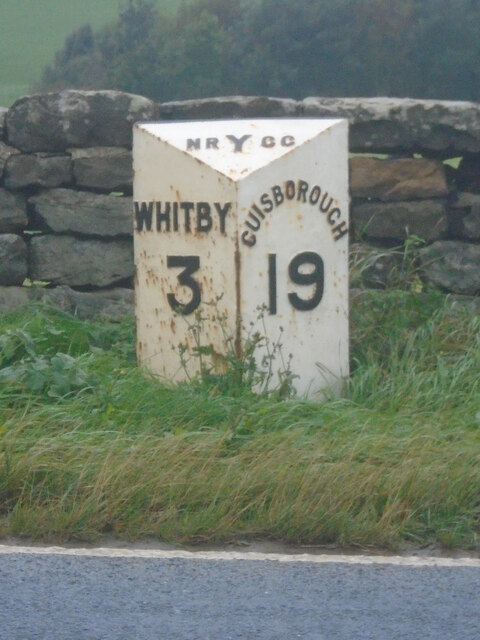
Despite its rural setting, Newholm-cum-Dunsley is conveniently located near the town of Whitby, which is just a short drive away. Whitby offers a range of amenities, including shops, restaurants, and leisure facilities, providing residents with easy access to modern conveniences.

Overall, Newholm-cum-Dunsley is a charming and peaceful civil parish in Yorkshire, offering residents a tranquil countryside lifestyle while still being within reach of nearby towns and amenities.

If you have any feedback on the listing, please let us know in the comments section below.

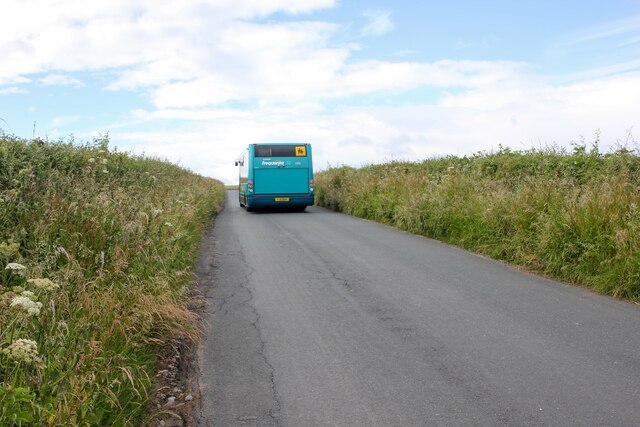
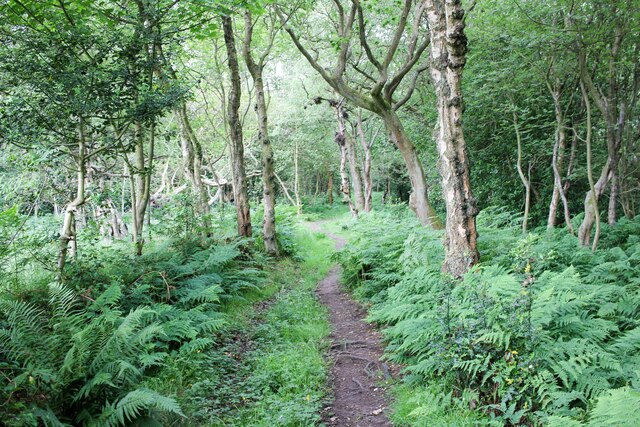
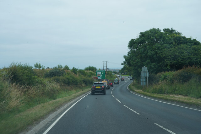
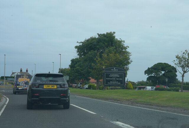
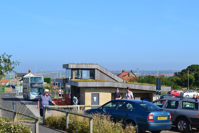
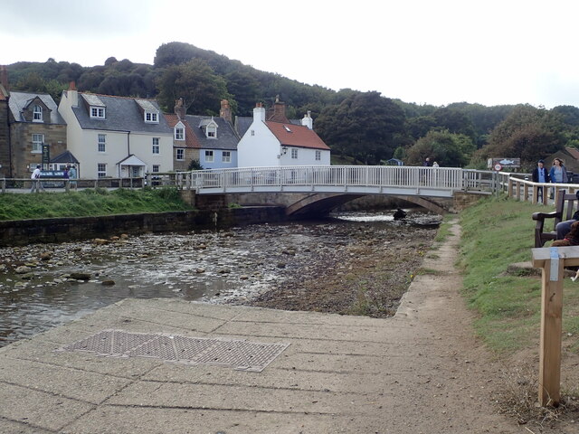
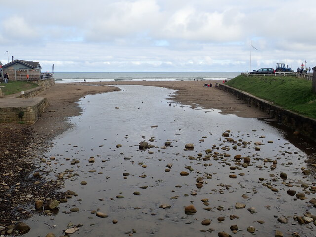
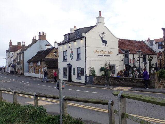
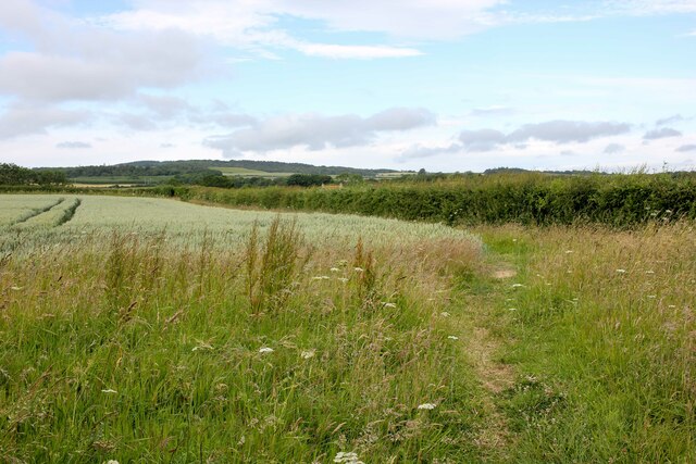
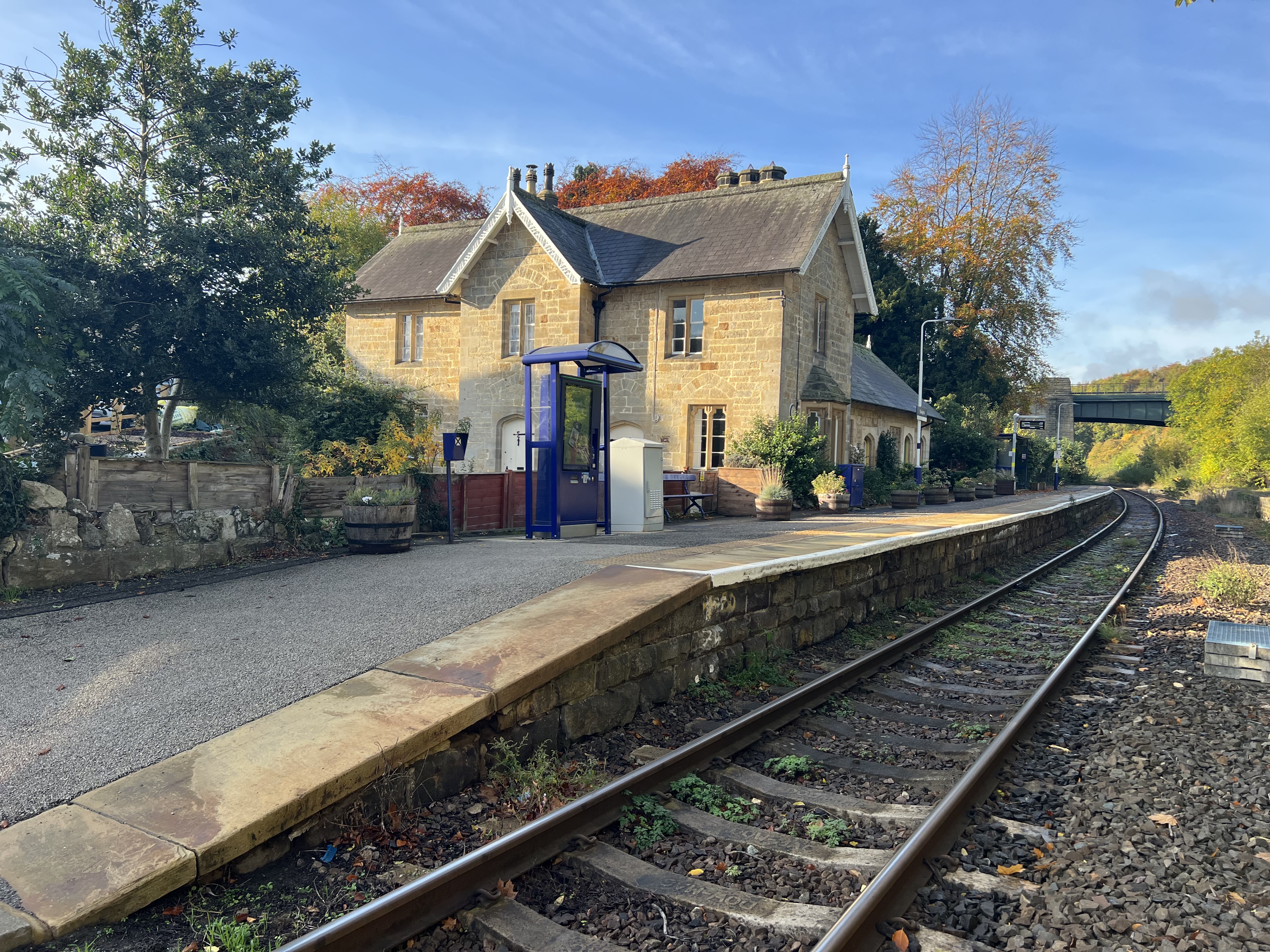
Newholm-cum-Dunsley Images

Images are sourced within 2km of 54.483513/-0.67643 or Grid Reference NZ8510. Thanks to Geograph Open Source API. All images are credited.

An empty A169 The heat of the previous week has dried out the grass verges, which are looking quite pale.
An empty A169
The heat of the previous week has dried out the grass verges, which are looking quite pale.
Lane towards Guisborough Road Heading south towards Guisborough Road near Whitby.
Lane towards Guisborough Road
Heading south towards Guisborough Road near Whitby.
Approaching Skelder Plantation Heading towards Skelder Plantation from the north.
Approaching Skelder Plantation
Heading towards Skelder Plantation from the north.
Old milepost The previous submission, 6049673, was not taken by me but by a fellow Milestone Society member in 2002 before the mileposts on this route were refurbished by Cleveland Corrosion Control.  This one in front of a low stone wall is on Guisborough Road opposite a track to a farm.
Old milepost
The previous submission, 6049673, was not taken by me but by a fellow Milestone Society member in 2002 before the mileposts on this route were refurbished by Cleveland Corrosion Control. This one in front of a low stone wall is on Guisborough Road opposite a track to a farm.
Old milepost Travelling towards Whitby the position of this milepost can be seen in the context of the road, verge and pleasant stone wall.    When these posts were refurbished they were taken up, dealt with inside the workshop and then reset at the correct height.
Old milepost
Travelling towards Whitby the position of this milepost can be seen in the context of the road, verge and pleasant stone wall. When these posts were refurbished they were taken up, dealt with inside the workshop and then reset at the correct height.
The A171 Now on the A171 as we get close to Whitby.
The A171
Now on the A171 as we get close to Whitby.
The A171 The large sign is for an eating establishment alongside the A171.
The A171
The large sign is for an eating establishment alongside the A171.
Whitby Park and Ride Off the A171.
Whitby Park and Ride
Off the A171.
Footbridge over East Row Beck The road bridge for the A174 is behind the footbridge
Footbridge over East Row Beck
The road bridge for the A174 is behind the footbridge
East End Beck at Sandsend
The Hart Inn An attractive and very popular pub at the side of the East Row Beck and close to the beach.
The Hart Inn
An attractive and very popular pub at the side of the East Row Beck and close to the beach.
Lifeguard Hut and Sea Front at Sandsend
Bridleway off Barker's Lane Footpath and Bridleway to Bannial Flat Farm from Barker's Lane.
Bridleway off Barker's Lane
Footpath and Bridleway to Bannial Flat Farm from Barker's Lane.
Country Watch Sign on Barker's Lane Country Watch Sign warning against poaching on Barker's Lane near Newholm west of Whitby.
Country Watch Sign on Barker's Lane
Country Watch Sign warning against poaching on Barker's Lane near Newholm west of Whitby.
Footpath to Newholm Heading west across the fields from Barker's Lane towards Newholm.
Footpath to Newholm
Heading west across the fields from Barker's Lane towards Newholm.
The Beehive Inne, Newholm The Beehive Inne at Newholm is a 15th century drovers cottage. For more info see the pubs wesite at <span class="nowrap"><a title="https://www.beehiveinne.com/" rel="nofollow ugc noopener" href="https://www.beehiveinne.com/">Link</a><img style="margin-left:2px;" alt="External link" title="External link - shift click to open in new window" src="https://s1.geograph.org.uk/img/external.png" width="10" height="10"/></span>
The Beehive Inne, Newholm
The Beehive Inne at Newholm is a 15th century drovers cottage. For more info see the pubs wesite at LinkExternal link
Newholm Village Hall Newholm Village Hall located in the centre of the village next to the Beehive Inne.
Newholm Village Hall
Newholm Village Hall located in the centre of the village next to the Beehive Inne.
Show me another place!

Newholm-cum-Dunsley is located at Grid Ref: NZ8510 (Lat: 54.483513, Lng: -0.67643)

Division: North Riding

Administrative County: North Yorkshire

District: Scarborough

Police Authority: North Yorkshire

What 3 Words

///drama.fine.depths. Near Sleights, North Yorkshire

Related Wikis

Newholm-cum-Dunsley

Newholm-cum-Dunsley is a civil parish in the Scarborough district of North Yorkshire, England. According to the 2011 UK census, Newholm-cum-Dunsley parish...

Sandsend

Sandsend is a small fishing village, near to Whitby in the Scarborough district of North Yorkshire, England. It forms part of the civil parish of Lythe...

Aislaby Quarry

Aislaby Quarry is a sandstone quarry in the village of Aislaby, near to Whitby in North Yorkshire, England. The quarry produces sandstone which has been...

Aislaby, Scarborough

Aislaby ( AYZ-əl-bi) is a village and civil parish in the Scarborough district of North Yorkshire, England. It is situated near the town of Whitby on the...

Sandsend railway station

Sandsend railway station was a railway station on the Whitby, Redcar and Middlesbrough Union Railway. It was opened on 3 December 1883, and served the...

Hutton Mulgrave

Hutton Mulgrave is a village and civil parish in the Scarborough district of North Yorkshire, England. According to the 2001 UK census, Hutton Mulgrave...

Sleights railway station

Sleights is a railway station on the Esk Valley Line, which runs between Middlesbrough and Whitby via Nunthorpe. The station, situated 2 miles 78 chains...

Briggswath

Briggswath is a village in the Scarborough district of North Yorkshire, England. the settlement is on the north bank of the River Esk, upstream of Ruswarp...

Nearby Amenities

Located within 500m of 54.483513,-0.67643
Home Farm
Place: farm
Source Name: OS_OpenData_StreetView
Lat/Long: 54.4876223/-0.6787384
Hiking: yes
Information: guidepost
Tourism: information
Lat/Long: 54.4823792/-0.6772149
Hiking: yes
Information: guidepost
Tourism: information
Lat/Long: 54.4826145/-0.6774026
The data included in this document is from www.openstreetmap.org. The data is made available under ODbL.

Have you been to Newholm-cum-Dunsley?

Leave your review of Newholm-cum-Dunsley below (or comments, questions and feedback).