Founthill

Settlement in Sussex Lewes

England

Founthill

Field Corner A field corner where the Sussex Ouse Valley Way turns right heading towards Double Barns Farm.
Field Corner Credit: Chris Thomas-Atkin

Founthill is a small village located in the county of Sussex, England. Situated amidst picturesque countryside, it is renowned for its natural beauty and tranquil surroundings. The village is nestled in the South Downs National Park, offering residents and visitors alike ample opportunities for outdoor activities such as hiking, cycling, and horseback riding.

Founthill is characterized by its charming old-world architecture, with many historic buildings that have been well-preserved over the years. The village is home to a quaint parish church, dating back to the 12th century, which stands as a testament to the area's rich history. Additionally, Founthill boasts a handful of traditional cottages and farmhouses, adding to its authentic rural charm.

The village is known for its strong sense of community, with a close-knit population that takes pride in maintaining the village's heritage. Founthill hosts various community events throughout the year, including fairs and festivals that celebrate local traditions and showcase the talents of the residents.

Despite its small size, Founthill offers essential amenities to cater to the needs of its residents. The village has a well-regarded primary school, a local convenience store, and a welcoming pub, serving as the social hub of the community. For more extensive shopping and entertainment options, nearby towns and cities are easily accessible by car or public transportation.

Overall, Founthill is a charming and idyllic village that offers a peaceful retreat for those seeking a slower pace of life amidst the beauty of the Sussex countryside.

If you have any feedback on the listing, please let us know in the comments section below.
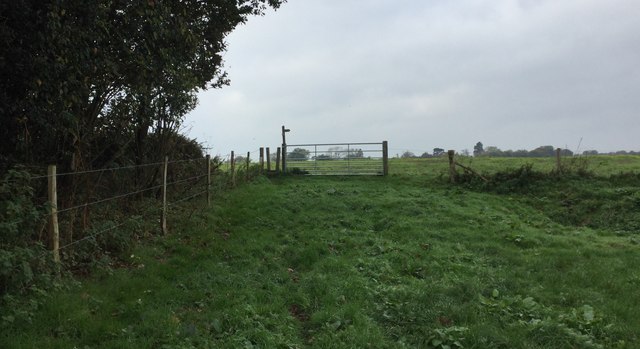
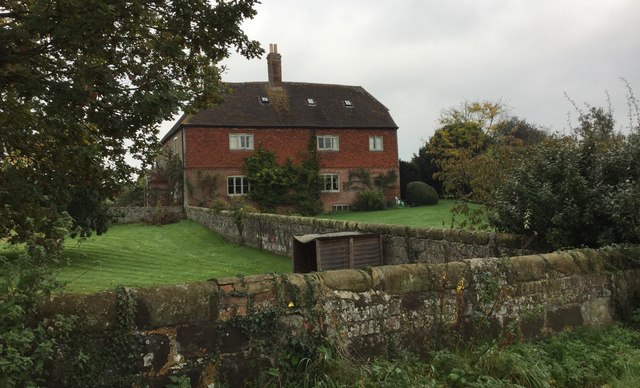
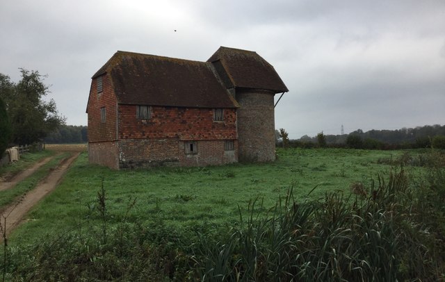
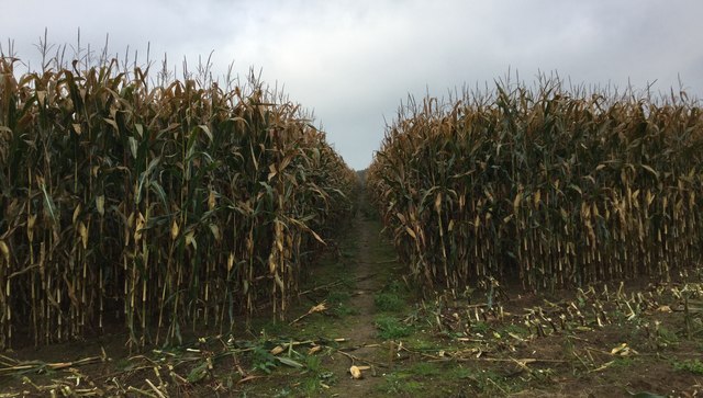
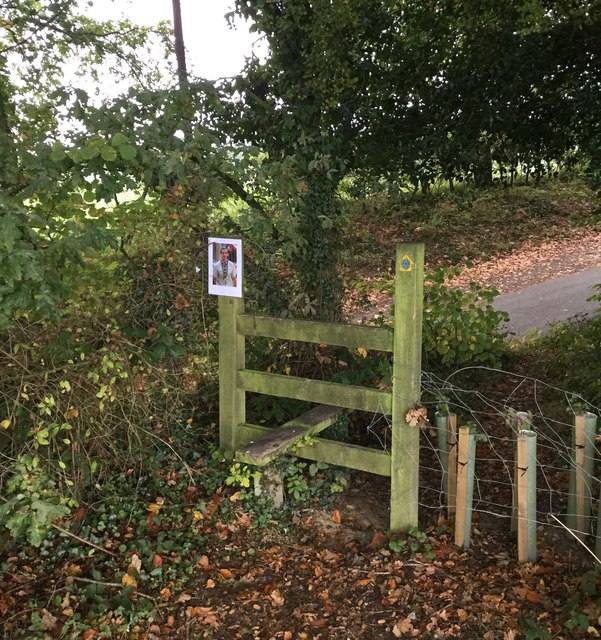
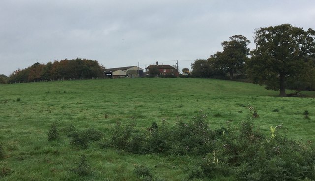
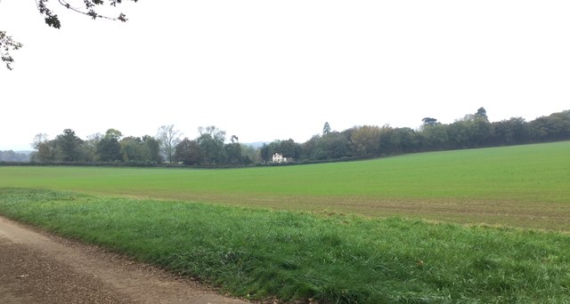
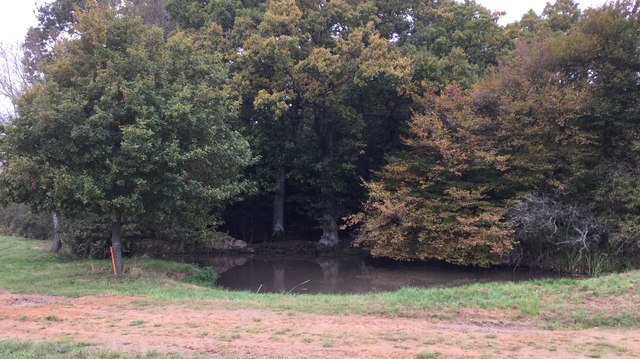
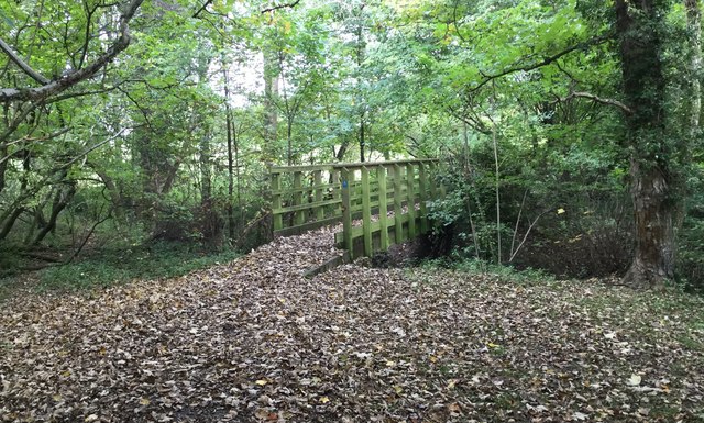
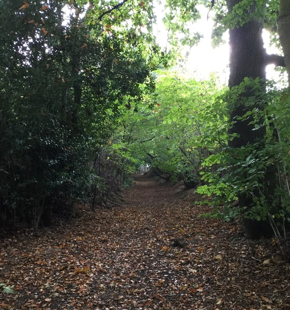
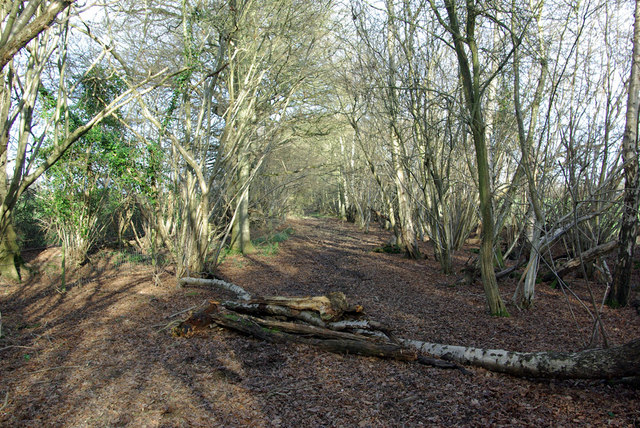
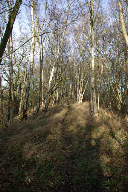
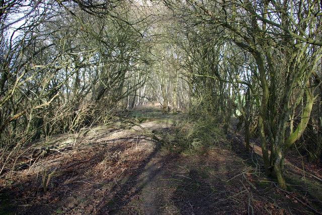
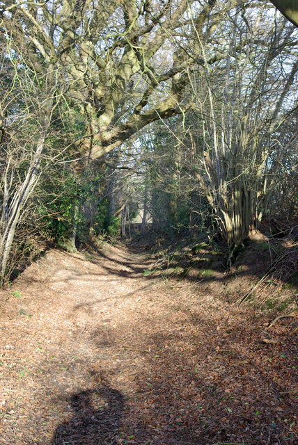
Founthill Images

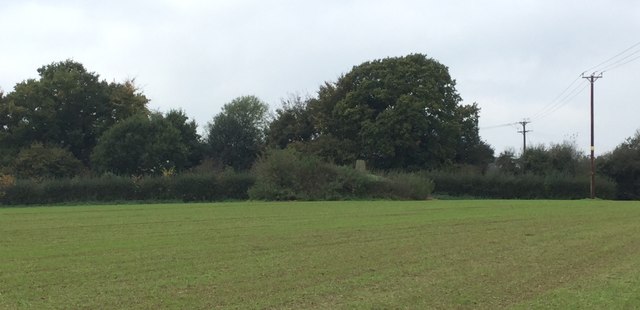
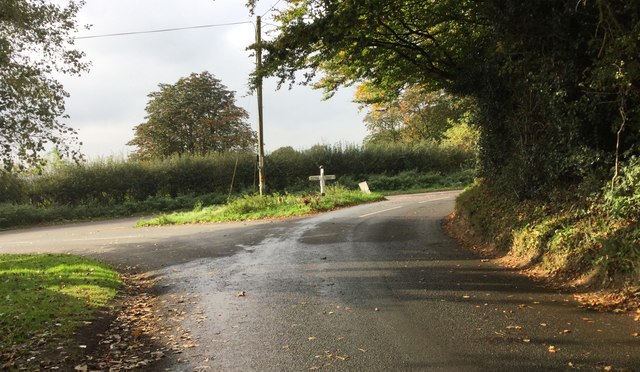
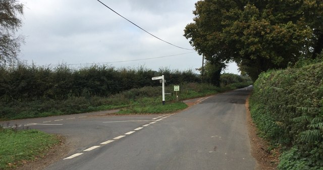
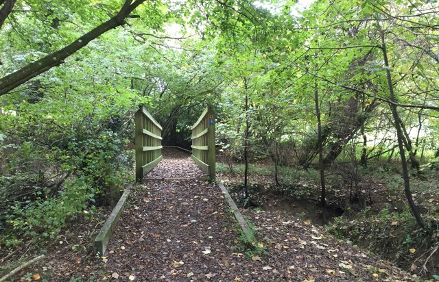
Images are sourced within 2km of 50.963462/0.021717399 or Grid Reference TQ4220. Thanks to Geograph Open Source API. All images are credited.

Field Corner A field corner where the Sussex Ouse Valley Way turns right heading towards Double Barns Farm.
Field Corner
A field corner where the Sussex Ouse Valley Way turns right heading towards Double Barns Farm.
Vuggles Farm Vuggles Farm viewed from the public footpath.
Vuggles Farm
Vuggles Farm viewed from the public footpath.
Vuggles Farm Farm building at Vuggles Farm.
Vuggles Farm
Farm building at Vuggles Farm.
Footpath through the crops Near Vuggles Farm the footpath heads across a field through a narrow gap in the tall corn stems.
Footpath through the crops
Near Vuggles Farm the footpath heads across a field through a narrow gap in the tall corn stems.
Stile at Bunce’s Wood Approaching the stile at a corner of Bunce’s Wood where the footpath from Vuggles Farm drops down to a road.
Stile at Bunce’s Wood
Approaching the stile at a corner of Bunce’s Wood where the footpath from Vuggles Farm drops down to a road.
Double Barns Farm Double Barns Farm viewed from the public footpath.
Double Barns Farm
Double Barns Farm viewed from the public footpath.
Cottage near Newick Park A cottage near Newick Park viewed from the public footpath passing Double Barns Farm.
Cottage near Newick Park
A cottage near Newick Park viewed from the public footpath passing Double Barns Farm.
Pond near Double Barns Farm The small pond near Double Barns Farm viewed from the passing public footpath.
Pond near Double Barns Farm
The small pond near Double Barns Farm viewed from the passing public footpath.
Trig Point near Newick Park The Trig Point which the Ordnance Survey map records as being 55 metres above sea level.
Trig Point near Newick Park
The Trig Point which the Ordnance Survey map records as being 55 metres above sea level.
Road Junction near Founthill Approaching the road junction close to Schoolhouse Farm.
Road Junction near Founthill
Approaching the road junction close to Schoolhouse Farm.
Markstakes Lane Approaching Markstakes Lane.
Markstakes Lane
Approaching Markstakes Lane.
Approaching Cockfield Bridge The footbridge on Cockfield Lane (Path) which crosses a small stream.
Approaching Cockfield Bridge
The footbridge on Cockfield Lane (Path) which crosses a small stream.
Cockfield Bridge Cockfield Lane is a Path and at this point a footbridge crosses a small stream.
Cockfield Bridge
Cockfield Lane is a Path and at this point a footbridge crosses a small stream.
Cockfield Lane Cockfield Lane is actually a Path which runs on a North to South orientation. It runs parallel to the disused railway line to Lewes.
Cockfield Lane
Cockfield Lane is actually a Path which runs on a North to South orientation. It runs parallel to the disused railway line to Lewes.
Cockfield Lane A public bridleway.
Cockfield Lane
A public bridleway.
Course of old railway The southern section of the East Grinstead - Lewes line, which north of Sheffield Park is restored as the Bluebell Railway.
Course of old railway
The southern section of the East Grinstead - Lewes line, which north of Sheffield Park is restored as the Bluebell Railway.
Course of old railway The southern section of the East Grinstead - Lewes line, which north of Sheffield Park is restored as the Bluebell Railway.
Course of old railway
The southern section of the East Grinstead - Lewes line, which north of Sheffield Park is restored as the Bluebell Railway.
Cockfield Lane A public bridleway.
Cockfield Lane
A public bridleway.
Show me another place!

Founthill is located at Grid Ref: TQ4220 (Lat: 50.963462, Lng: 0.021717399)

Administrative County: East Sussex

District: Lewes

Police Authority: Sussex

What 3 Words

///officer.rats.loaning. Near Newick, East Sussex

Related Wikis

Zion Chapel, Newick

Zion Chapel is a former Strict Baptist place of worship in the village of Newick in Lewes District, one of six local government districts in the English...

Newick

Newick is a village, civil parish and electoral ward in the Lewes District of East Sussex, England. It is located on the A272 road six miles (9.7 km) east...

Newick and Chailey railway station

Newick and Chailey was a railway station located in North Chailey and located near the villages of Newick and Chailey in East Sussex, England. It was part...

Chailey

Chailey is a village and civil parish in the Lewes District of East Sussex, England. It is located 7 miles north of Lewes, on the A272 road from Winchester...

Nearby Amenities

Located within 500m of 50.963462,0.021717399
Barrier: stile
Lat/Long: 50.9623659/0.0234395
Post Box
Brand: Royal Mail
Brand Wikidata: Q638098
Brand Wikipedia: en:Royal Mail
Operator: Royal Mail
Operator Wikidata: Q638098
Ref: BN8 493
Lat/Long: 50.9635572/0.0217923
Barrier: stile
Lat/Long: 50.9619132/0.0256419
Barrier: stile
Lat/Long: 50.9618867/0.0257541
Barrier: stile
Lat/Long: 50.9613658/0.0279725
The data included in this document is from www.openstreetmap.org. The data is made available under ODbL.

Have you been to Founthill?

Leave your review of Founthill below (or comments, questions and feedback).