Four Crosses

Settlement in Merionethshire

Wales

Four Crosses

House at Druid On the A494.
House at Druid Credit: Trevor Harris

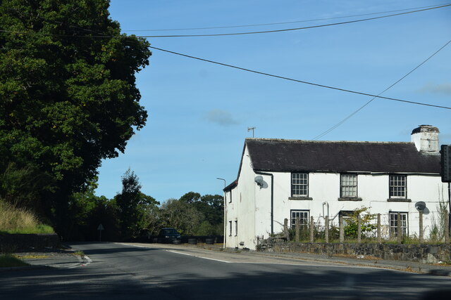
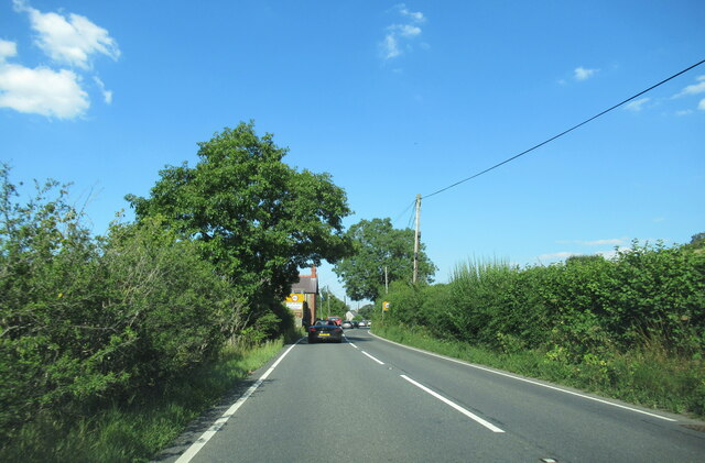
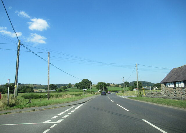
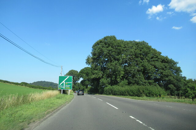
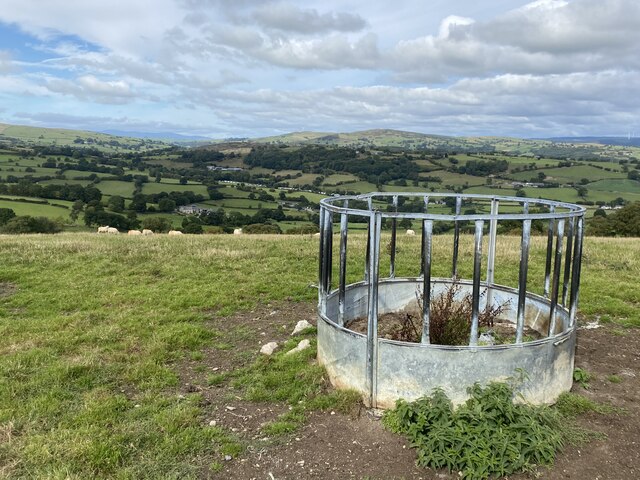
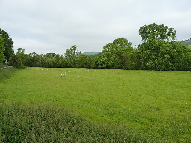
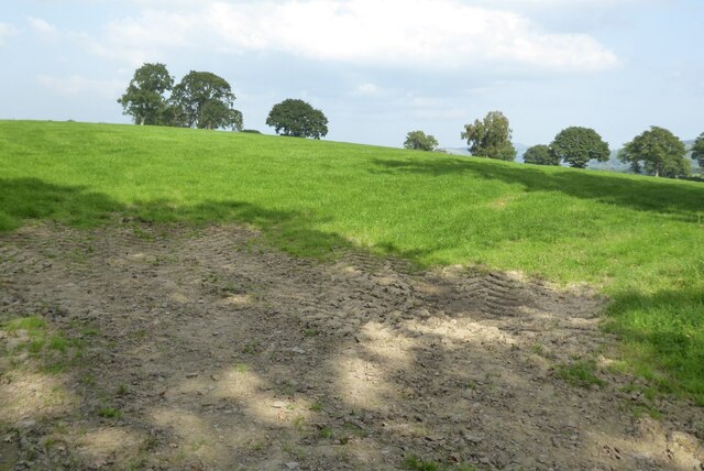
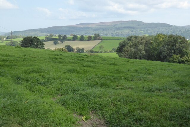
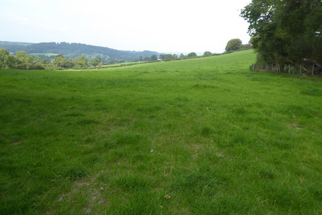
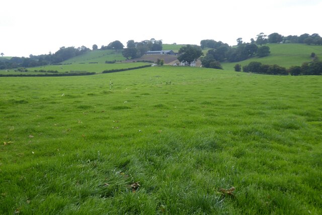
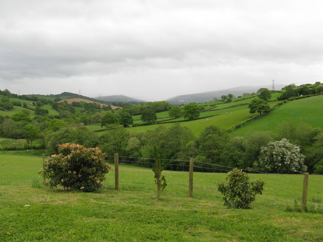
Four Crosses is a small village located in the historic county of Merionethshire, Wales. Situated near the border between England and Wales, it lies approximately 7 miles northeast of Welshpool and 13 miles west of Oswestry. The village is nestled in the picturesque countryside, surrounded by rolling hills and lush green fields.

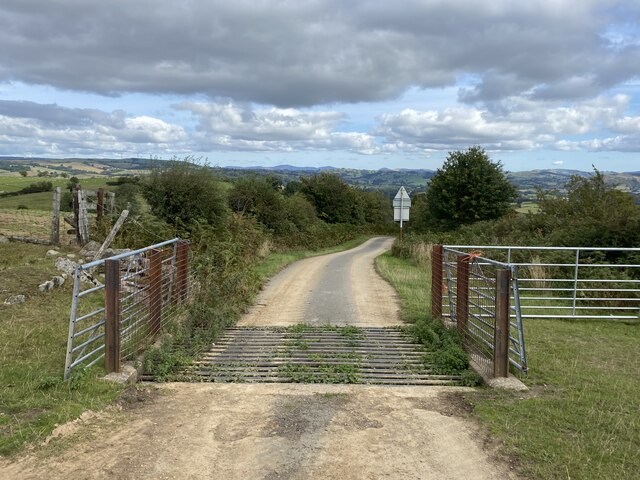
The origins of Four Crosses date back to the medieval period when it served as a vital crossroad for travelers and traders. The name of the village is derived from the four ancient stone crosses that once marked this important junction. Today, only one of the crosses remains, serving as a reminder of the village's rich heritage.

Despite its small size, Four Crosses boasts a strong sense of community. The village is home to a close-knit population, with a range of amenities catering to its residents. These include a local primary school, a community hall, a post office, and a pub. The surrounding area offers ample opportunities for outdoor activities such as hiking, cycling, and fishing.

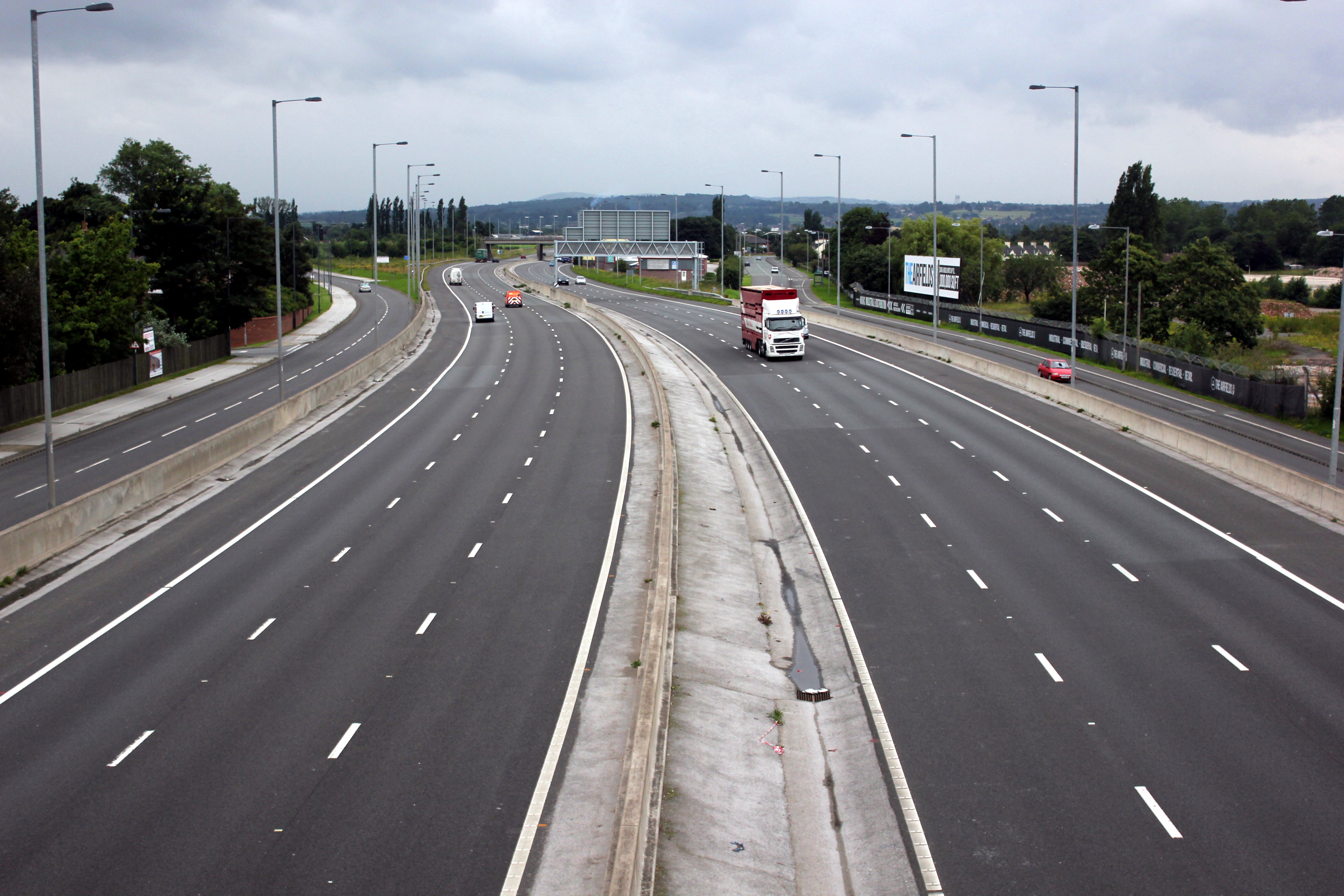
Four Crosses benefits from its proximity to the nearby towns of Welshpool and Oswestry, which provide additional amenities and services. The village is well-connected by road, with the A483 passing nearby, allowing for easy access to the wider region.

Overall, Four Crosses offers a peaceful and idyllic setting for its residents, combining rural charm with convenient access to nearby towns and amenities.

If you have any feedback on the listing, please let us know in the comments section below.
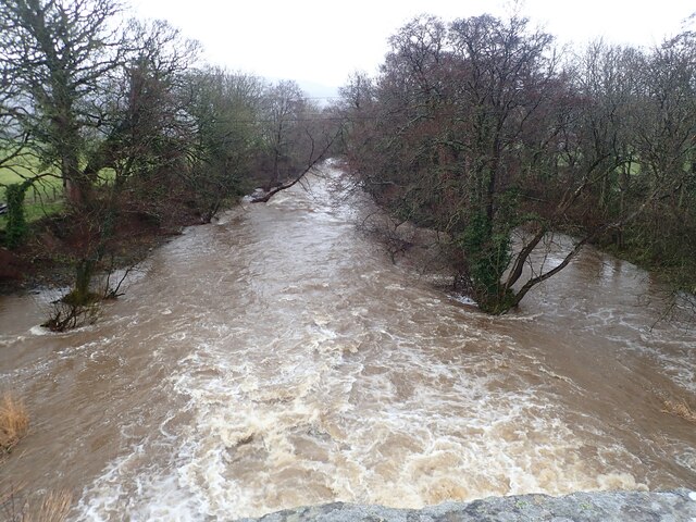
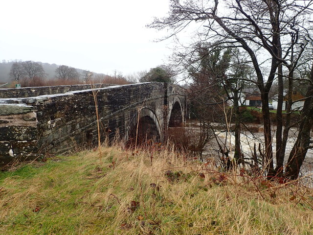
Four Crosses Images

Images are sourced within 2km of 52.975465/-3.4405727 or Grid Reference SJ0342. Thanks to Geograph Open Source API. All images are credited.

House at Druid On the A494.
House at Druid
On the A494.
Alwen River near Melin Rhug At higher than its usual level after days of rain
Alwen River near Melin Rhug
At higher than its usual level after days of rain
Pont Melin Rhug The bridge was probably built in the early C18, and similar in style to the local bridges over the River Dee at Corwen, Carrog and Cynwyd. It is listed Grade II*. The A5 used this bridge until a new bridge was built just north of it.
Pont Melin Rhug
The bridge was probably built in the early C18, and similar in style to the local bridges over the River Dee at Corwen, Carrog and Cynwyd. It is listed Grade II*. The A5 used this bridge until a new bridge was built just north of it.
A494 north at Glan-yr-Afon village sign
A494 north at  Four Crosses
A494 north at Four Crosses
A494 north approaching junction with the A5
A494 north at the junction with the A5
The A5 east just after crossing the Afon Alwen
Cattle grid On minor road above the Dee valley.
Cattle grid
On minor road above the Dee valley.
Animal feeder with a view
Junction of the A5 and the A494 at Druid Controlled by lights, the A494 goes left here towards Bala, whilst the main A5 truck route to Holyhead continues straight on (ie on the right in the image, granted.)
Junction of the A5 and the A494 at Druid
Controlled by lights, the A494 goes left here towards Bala, whilst the main A5 truck route to Holyhead continues straight on (ie on the right in the image, granted.)
OS flush bracket on the old Post Office at Druid Repainted sometime since Dusty's photo at <a href="https://www.geograph.org.uk/photo/5142882">SJ0443 : Ordnance Survey Flush Bracket (11364)</a> was taken, and almost illegible as a consequence. It was last recorded by the OS in 1975 at 152.418m above Ordnance Datum Newlyn. Older maps show another benchmark on the front (roadside) face of the building, at 499.6ft above Liverpool datum, but I'd guess this has been lost to alterations or render.
OS flush bracket on the old Post Office at Druid
Repainted sometime since Dusty's photo at SJ0443 : Ordnance Survey Flush Bracket (11364) was taken, and almost illegible as a consequence. It was last recorded by the OS in 1975 at 152.418m above Ordnance Datum Newlyn. Older maps show another benchmark on the front (roadside) face of the building, at 499.6ft above Liverpool datum, but I'd guess this has been lost to alterations or render.
Sheep in a field west of Druid junction The field is in the valley of the Afon Alwen, which joins the Dyfrdwy a couple of miles downstream in <a href="https://www.geograph.org.uk/gridref/SJ0642">SJ0642</a>
Sheep in a field west of Druid junction
The field is in the valley of the Afon Alwen, which joins the Dyfrdwy a couple of miles downstream in SJ0642
Field above Druid
Field above Druid
View across the Dee valley
Farmland near Cynwyd
Farmland near Cynwyd Farmland above the Dee valley near Cynwyd.
Farmland near Cynwyd
Farmland above the Dee valley near Cynwyd.
View over the Nant Heulog The Nant Heulog follows the tree line right to left and then flows into the Afon Alwen 1/2 mile to the NE.
View over the Nant Heulog
The Nant Heulog follows the tree line right to left and then flows into the Afon Alwen 1/2 mile to the NE.
Show me another place!

Four Crosses is located at Grid Ref: SJ0342 (Lat: 52.975465, Lng: -3.4405727)

Unitary Authority: Denbighshire

Police Authority: North Wales

What 3 Words

///troll.dignify.equality. Near Llandrillo, Denbighshire

Nearby Locations

Four Crosses

Related Wikis

Druid, Denbighshire

Druid (Welsh: Y Ddwyryd) is a small village in Denbighshire, Wales. The village is located where the A5 and the A494 meet, about two miles west of Corwen...

Glan-yr-afon, Gwynedd

Glan-yr-afon is a small village near Corwen in Gwynedd, Wales and is situated on the A494. The village is on the boundary of Gwynedd and Denbighshire....

A494 road

The A494 is a trunk road in Wales and England. The route, which is officially known as the Dolgellau to South of Birkenhead Trunk Road, runs between the...

Plas Uchaf

Plas Uchaf (English: Upper Hall) is a 15th-century cruck-and-aisle-truss hall house, 1.5 miles (2.4 km) south-west of Corwen, Denbighshire, Wales and 1...

Nearby Amenities

Located within 500m of 52.975465,-3.4405727
Created By: Merkaartor 0.12
Lat/Long: 52.976032/-3.445351
Created By: Merkaartor 0.12
Lat/Long: 52.9758576/-3.4449219
Created By: Merkaartor 0.12
Lat/Long: 52.9758382/-3.4441923
Created By: Merkaartor 0.12
Lat/Long: 52.9756637/-3.4435057
Created By: Merkaartor 0.12
Lat/Long: 52.9752107/-3.4408585
Parking
Access: yes
Fee: no
Parking: layby
Lat/Long: 52.9775389/-3.436062
Post Box
Post Box Type: lamp
Royal Cypher: EIIR
Royal Cypher Wikidata: Q33102113
Lat/Long: 52.9752789/-3.4410897
Power: tower
Lat/Long: 52.9743691/-3.4381717
Power: tower
Lat/Long: 52.9736514/-3.4435433
Power: tower
Lat/Long: 52.973203/-3.4468674
Power: tower
Lat/Long: 52.9734349/-3.4451044
Power: tower
Lat/Long: 52.9740196/-3.4408343
Power: tower
Lat/Long: 52.9747723/-3.4351319
Parking
Access: yes
Fee: no
Parking: layby
Lat/Long: 52.9734615/-3.4429091
Place: farm
Lat/Long: 52.9767664/-3.4378628
Place: farm
Lat/Long: 52.9780713/-3.440309
Place: farm
Lat/Long: 52.9743889/-3.4427981
Power: pole
Lat/Long: 52.9759965/-3.4381279
Power: pole
Lat/Long: 52.9761903/-3.4355262
Power: pole
Lat/Long: 52.9762468/-3.4350166
Direction: 260
Generator Method: photovoltaic
Generator Output Electricity: yes
Generator Solar Modules: 3
Generator Source: solar
Generator Type: solar_photovoltaic_panel
Location: roof
Power: generator
Lat/Long: 52.9738807/-3.4347447
Direction: 260
Generator Method: photovoltaic
Generator Output Electricity: yes
Generator Solar Modules: 24
Generator Source: solar
Generator Type: solar_photovoltaic_panel
Location: roof
Power: generator
Lat/Long: 52.9739154/-3.4348047
Direction: SSW
Generator Method: photovoltaic
Generator Output Electricity: yes
Generator Solar Modules: 14
Generator Source: solar
Generator Type: solar_photovoltaic_panel
Location: roof
Power: generator
Lat/Long: 52.9782438/-3.440385
Direction: SSW
Generator Method: photovoltaic
Generator Output Electricity: yes
Generator Solar Modules: 6
Generator Source: solar
Generator Type: solar_photovoltaic_panel
Location: roof
Power: generator
Lat/Long: 52.9747504/-3.441592
Direction: SSW
Generator Method: photovoltaic
Generator Output Electricity: yes
Generator Solar Modules: 6
Generator Source: solar
Generator Type: solar_photovoltaic_panel
Location: roof
Power: generator
Lat/Long: 52.9748005/-3.441474
Power: pole
Lat/Long: 52.9761052/-3.4366681
The data included in this document is from www.openstreetmap.org. The data is made available under ODbL.

Have you been to Four Crosses?

Leave your review of Four Crosses below (or comments, questions and feedback).