Minstead

Civil Parish in Hampshire New Forest

England

Minstead

Minstead : The A31 Looking along the A31.
Minstead : The A31 Credit: Lewis Clarke

Minstead is a civil parish located in the county of Hampshire, England. Situated in the New Forest National Park, it covers an area of approximately 4.5 square miles. The village is nestled amidst picturesque woodland and rolling countryside, offering a tranquil and idyllic setting.

The history of Minstead dates back to the medieval era, and it is mentioned in the Domesday Book of 1086. The parish is home to All Saints' Church, a Grade I listed building that dates back to the 13th century, showcasing stunning architectural features and a rich heritage.

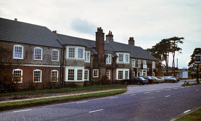
The village is well-known for its connection to the famous British author, Sir Arthur Conan Doyle, who resided in the area for several years. His former home, "Undershaw," is now a hotel and restaurant, offering visitors a chance to explore the life and works of the creator of Sherlock Holmes.

Minstead is also renowned for its vibrant community spirit, with a range of events and activities taking place throughout the year. The village hall serves as a hub for various social gatherings and cultural events, providing a space for locals and visitors to come together.

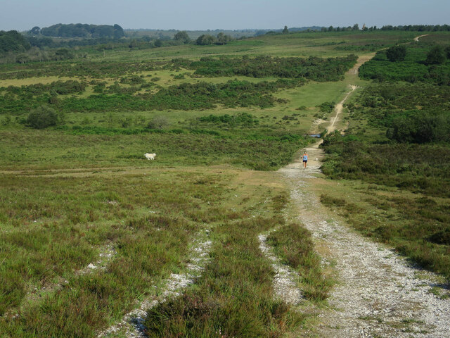
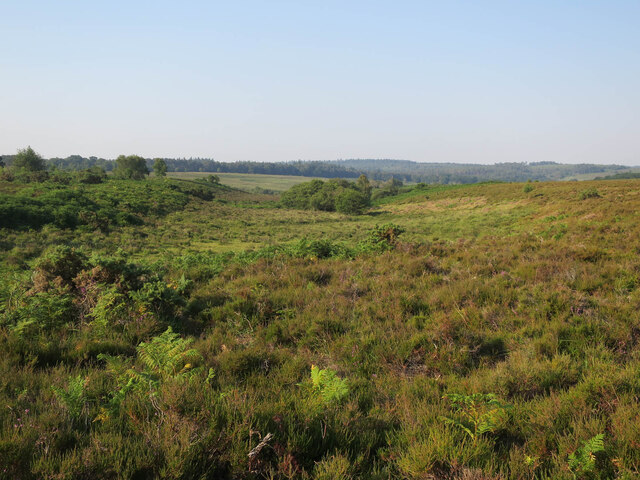
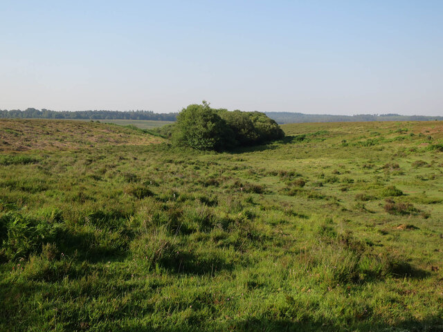
The surrounding countryside offers numerous opportunities for outdoor activities, including walking, cycling, and horse riding. The New Forest is home to a diverse array of wildlife, and Minstead provides an excellent base for exploring the natural beauty of the area.

In summary, Minstead, Hampshire, is a charming and historic village located in the heart of the New Forest National Park. With its stunning landscapes, rich heritage, and welcoming community, it offers a delightful destination for those seeking a quintessentially English countryside experience.

If you have any feedback on the listing, please let us know in the comments section below.
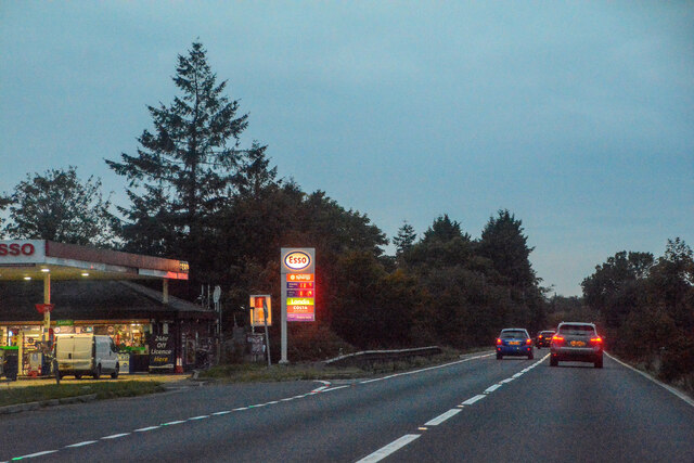
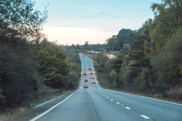
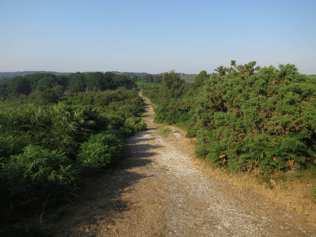
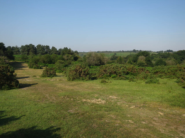
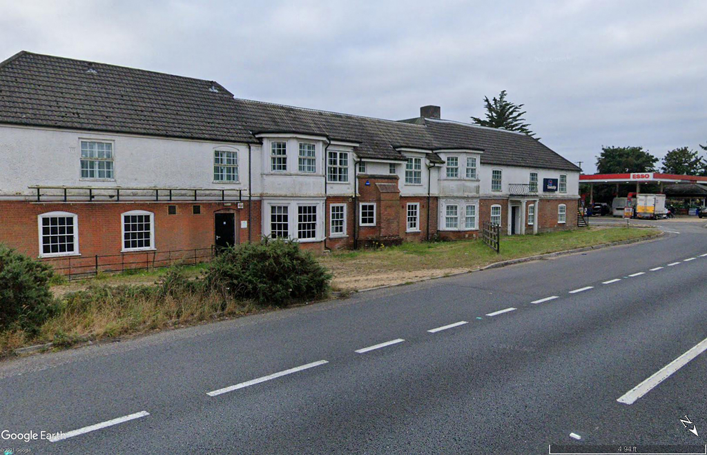
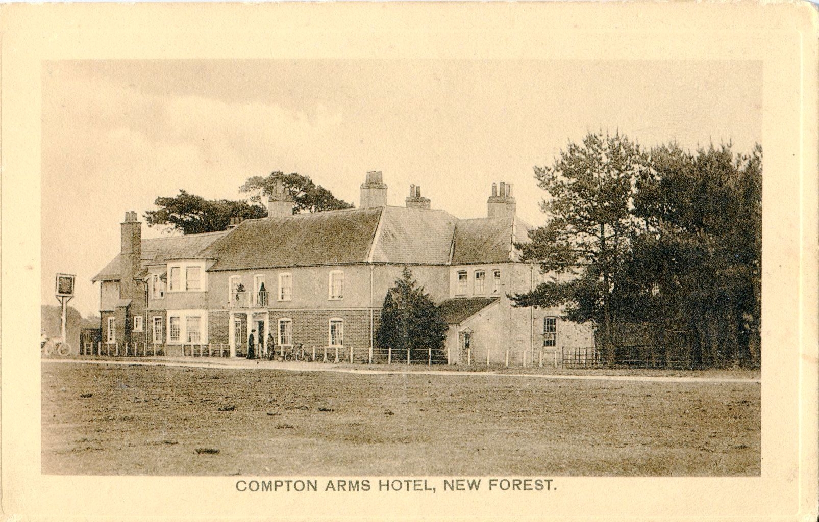
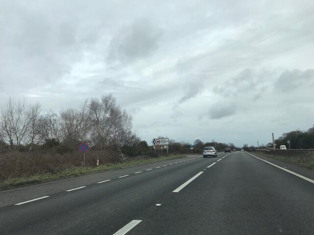
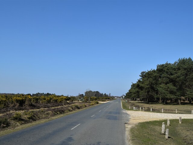
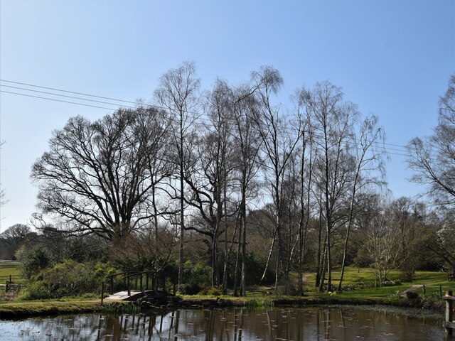
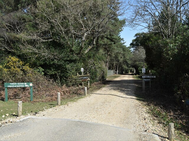
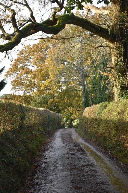
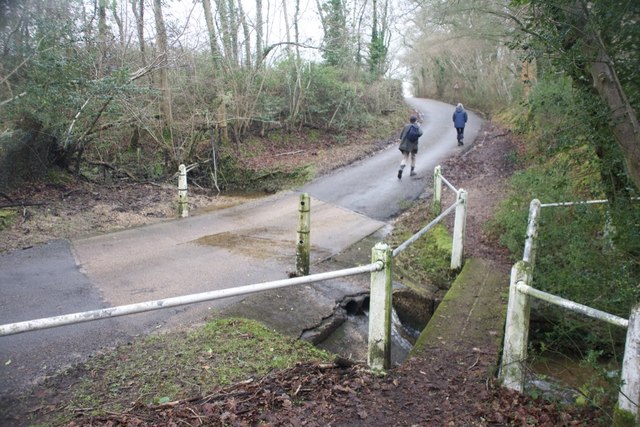
Minstead Images

Images are sourced within 2km of 50.889848/-1.631339 or Grid Reference SU2610. Thanks to Geograph Open Source API. All images are credited.

Minstead : The A31 Looking along the A31.
Minstead : The A31
Looking along the A31.
Minstead : The A31 Looking along the A31.
Minstead : The A31
Looking along the A31.
Track off Stoney Cross Plain A summer version of <a href="https://www.geograph.org.uk/photo/4285054">SU2510 : Newtown, track</a>
Track off Stoney Cross Plain
A summer version of SU2510 : Newtown, track
West of Stoney Cross Plain
Withybed Bottom With a dog off the lead running free. The combined effect of this creates a lot of extra disturbance for ground nesting birds.
Withybed Bottom
With a dog off the lead running free. The combined effect of this creates a lot of extra disturbance for ground nesting birds.
Valley by Fox Hill
Valley by Fox Hill
Valley by Fox Hill The start of Long Brook into Withybed Bottom.
Valley by Fox Hill
The start of Long Brook into Withybed Bottom.
The Compton Arms, Stoney Cross c.1970 Before it became the corporate and characterless Little Chef and the Travelodge of today, The Compton Arms was a long established country inn - a free house, with a reputation for fine food and good ale. Named after a local squire, Henry Compton, its origins lie much further back than when this photograph was taken. In the 18th century it was a posting inn that catered for the local gentry by supplying horses and post chaises for hire, and because of the number of influential personages residing in the locality, a Post Office was established at the inn in 1837. This would have benefitted the local inhabitants considerably, as Stoney Cross was on the mail coach route from London to Poole via Southampton. Interestingly, although the building long ago had given up its post office, in 2008 it still retained its now disused Edwardian GPO postbox. <a title="https://www.geograph.org.uk/photo/962737" href="https://www.geograph.org.uk/photo/962737">Link</a>

At sometime in the past, in order to accommodate the ever increasing number of motorists, the building had been sensitively extended to the east, the extension incorporating a new bay window to match the old one to the west. Since then, the old coaching inn has been remodelled, and now compares unfavourably with the photo above in this Sept. 2021 Streetview image: <span class="nowrap"><a title="https://media.geograph.org.uk/files/7eabe3a1649ffa2b3ff8c02ebfd5659f/Compton_Arms_GE-original.jpg" rel="nofollow ugc noopener" href="https://media.geograph.org.uk/files/7eabe3a1649ffa2b3ff8c02ebfd5659f/Compton_Arms_GE-original.jpg">Link</a><img style="margin-left:2px;" alt="External link" title="External link - shift click to open in new window" src="https://s1.geograph.org.uk/img/external.png" width="10" height="10"/></span> 

The Compton Arms - early 20th century: <span class="nowrap"><a title="https://media.geograph.org.uk/files/7eabe3a1649ffa2b3ff8c02ebfd5659f/MGPC004-original.jpg" rel="nofollow ugc noopener" href="https://media.geograph.org.uk/files/7eabe3a1649ffa2b3ff8c02ebfd5659f/MGPC004-original.jpg">Link</a><img style="margin-left:2px;" alt="External link" title="External link - shift click to open in new window" src="https://s1.geograph.org.uk/img/external.png" width="10" height="10"/></span>
The Compton Arms, Stoney Cross c.1970
Before it became the corporate and characterless Little Chef and the Travelodge of today, The Compton Arms was a long established country inn - a free house, with a reputation for fine food and good ale. Named after a local squire, Henry Compton, its origins lie much further back than when this photograph was taken. In the 18th century it was a posting inn that catered for the local gentry by supplying horses and post chaises for hire, and because of the number of influential personages residing in the locality, a Post Office was established at the inn in 1837. This would have benefitted the local inhabitants considerably, as Stoney Cross was on the mail coach route from London to Poole via Southampton. Interestingly, although the building long ago had given up its post office, in 2008 it still retained its now disused Edwardian GPO postbox. Link At sometime in the past, in order to accommodate the ever increasing number of motorists, the building had been sensitively extended to the east, the extension incorporating a new bay window to match the old one to the west. Since then, the old coaching inn has been remodelled, and now compares unfavourably with the photo above in this Sept. 2021 Streetview image: LinkExternal link The Compton Arms - early 20th century: LinkExternal link
Signage - A31 northbound
Towards the A31 at Stoney Cross The car park at the strangely named Andrew's Mare is off at the next track right
Towards the A31 at Stoney Cross
The car park at the strangely named Andrew's Mare is off at the next track right
The road to Newtown and Minstead
Bridleway, King's Garn
The Pond Furzey Gardens
The Pond
Furzey Gardens
Private road to the Grove
Ford on Newtown Road
Crossroads near Robins Bush Farm
Late sunlight in School Lane, Newtown
Ford at Minstead This is the first of two fords found at Minstead.
Ford at Minstead
This is the first of two fords found at Minstead.
Show me another place!

Minstead is located at Grid Ref: SU2610 (Lat: 50.889848, Lng: -1.631339)

Administrative County: Hampshire

District: New Forest

Police Authority: Hampshire

What 3 Words

///sapping.score.thumbnail. Near Lyndhurst, Hampshire

Related Wikis

New Forest District

New Forest is a local government district in Hampshire, England. Its council is based in Lyndhurst, although the largest town is Totton. The district also...

Minstead

Minstead is a small village and civil parish in the New Forest, Hampshire, about 2 miles (3.2 km) north of Lyndhurst. There is a shop and a pub, the Trusty...

Upper Canterton

Upper Canterton is a village in Hampshire, England, located at 50°54′36″N 1°37′24″W. It is near Minstead. == References == The geographic coordinates are...

Portuguese Fireplace

The Portuguese Fireplace is a war memorial in the New Forest National Park, near the village of Lyndhurst, Hampshire, England. It is located on the road...

Emery Down

Emery Down is a small village in the New Forest National Park in Hampshire, England. Its nearest town is Lyndhurst, which lies approximately 1.4 miles...

Minstead Lodge

Minstead Lodge in Hampshire is a building of historical significance built in about 1830 and is Grade II listed on the English Heritage Register. Today...

New Forest

The New Forest is one of the largest remaining tracts of unenclosed pasture land, heathland and forest in Southern England, covering southwest Hampshire...

Christ Church, Emery Down

Christ Church is a Church of England church in Emery Down, Hampshire, England. It was designed by William Butterfield and constructed in 1863–64. The church...

Nearby Amenities

Located within 500m of 50.889848,-1.631339
Created By: osmeditor2
Lat/Long: 50.8915399/-1.6305038
Created By: osmeditor2
Lat/Long: 50.8912587/-1.6367851
Puckpits Pound
Place: locality
Lat/Long: 50.890808/-1.6367336
Drinking Water: no
Intermittent: yes
Natural: spring
Lat/Long: 50.8881659/-1.6323512
Ringwood Ford
Bicycle: yes
Ford: yes
Motor Vehicle: yes
Lat/Long: 50.8912937/-1.6246115
Hart Hill
Ele: 104
Man Made: survey_point
Natural: peak
Operator: Ordnance Survey
Ref: S2714
Source: survey
Survey Point Purpose: both
Survey Point Structure: pillar
Lat/Long: 50.8911376/-1.6298617
Bench
Backrest: yes
Material: wood
Lat/Long: 50.8890534/-1.6287249
Direction: 120
Tourism: viewpoint
Lat/Long: 50.8890327/-1.6287156
The data included in this document is from www.openstreetmap.org. The data is made available under ODbL.

Have you been to Minstead?

Leave your review of Minstead below (or comments, questions and feedback).