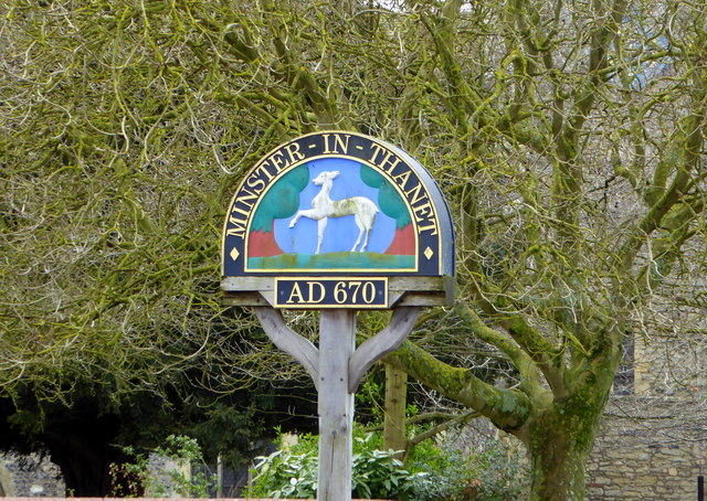
Minster
Civil Parish in Kent Thanet
England
Minster
Minster, Kent, is a civil parish located in the southeastern part of England. Situated on the Isle of Thanet, it is within the district of Thanet in the county of Kent. The parish covers an area of approximately 7.5 square miles.
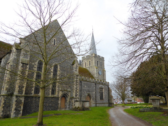
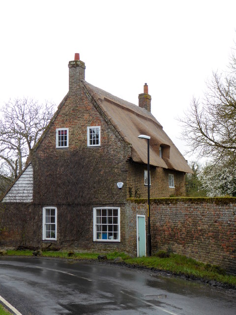
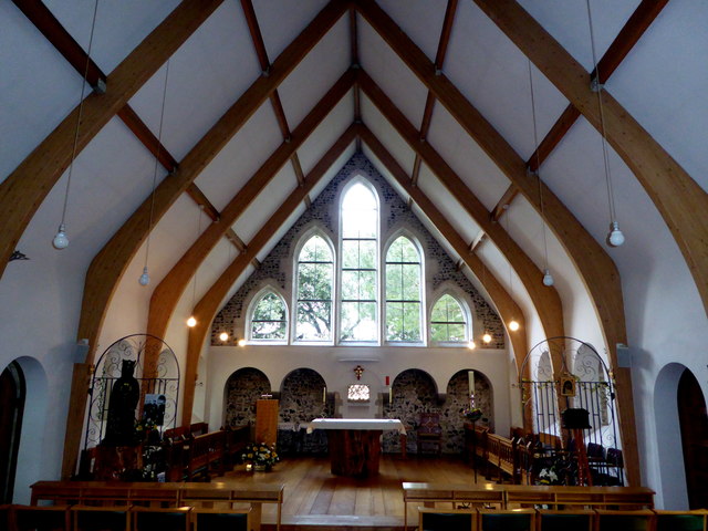
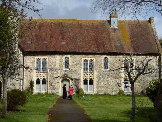
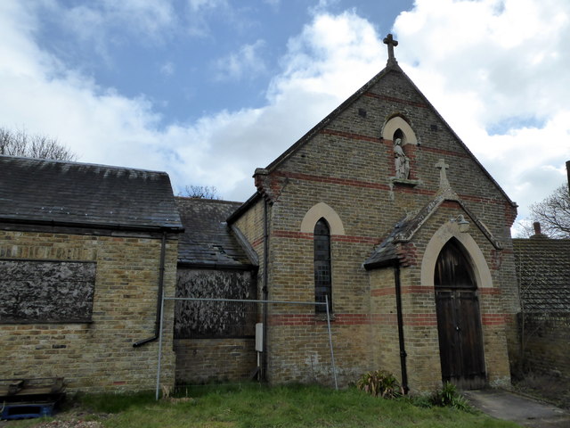
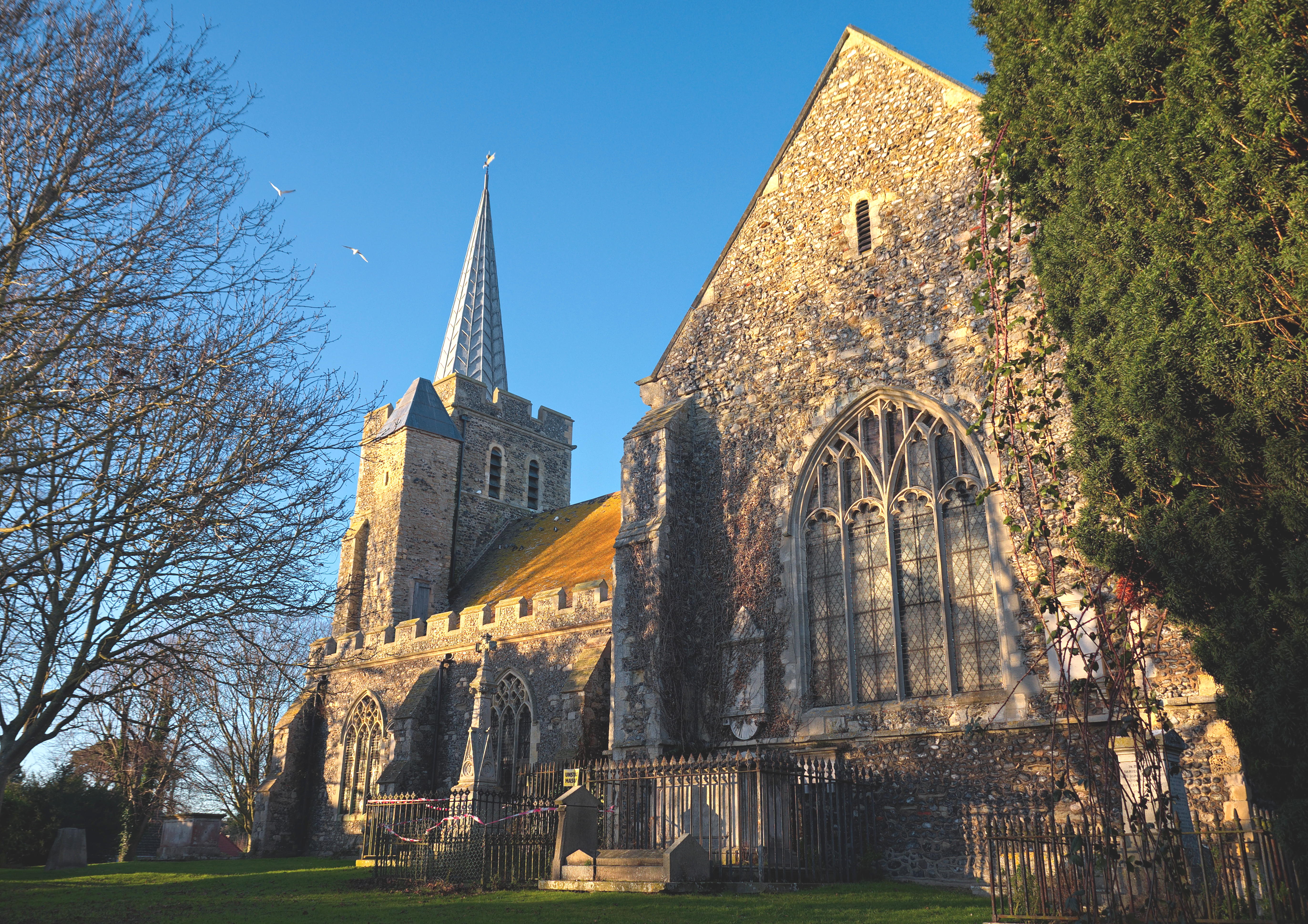
Minster has a rich history that dates back to Roman times when it was an important settlement. Today, it is known for its charming village atmosphere and its historic buildings. The most prominent landmark in Minster is the 12th-century St. Mary the Virgin Church, which is one of the largest parish churches in Kent. Its striking architecture and beautiful stained glass windows make it a popular tourist attraction.
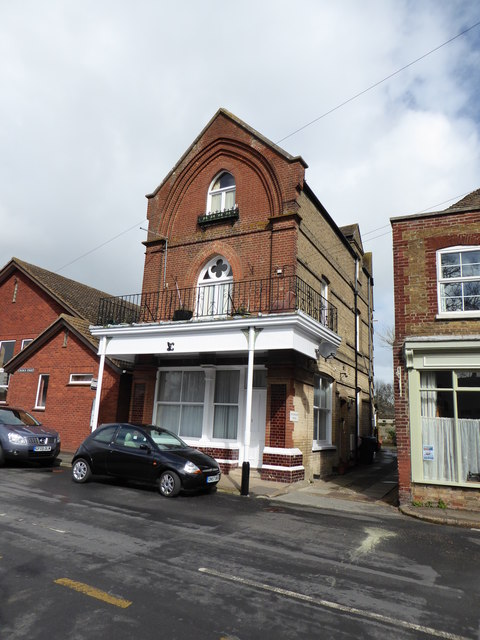
The village is also home to a range of amenities and services, including shops, pubs, restaurants, and a primary school. It has a close-knit community and a vibrant social scene. The annual Minster Show, a traditional village fete held in July, is a highlight of the local calendar, attracting visitors from far and wide.
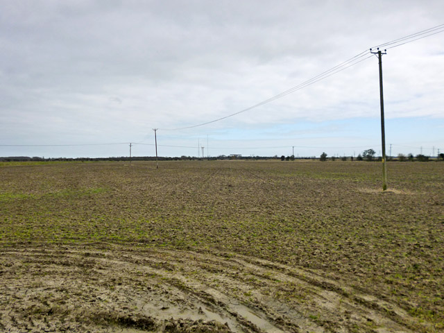
The surrounding countryside offers plenty of opportunities for outdoor activities, such as walking, cycling, and horse riding. Minster is also conveniently located near the coast, with the popular seaside towns of Margate, Ramsgate, and Broadstairs just a short drive away.
Overall, Minster, Kent, is a picturesque and historic village that offers a peaceful and idyllic setting for residents and visitors alike. Its rich heritage, beautiful architecture, and proximity to both the countryside and the coast make it a desirable place to live and explore.
If you have any feedback on the listing, please let us know in the comments section below.
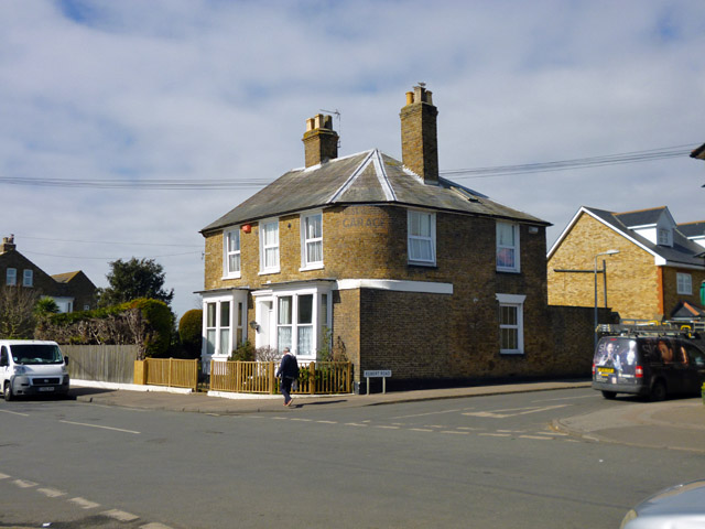
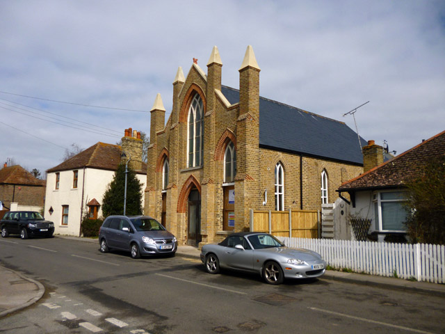
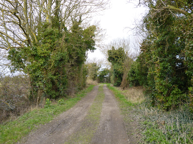
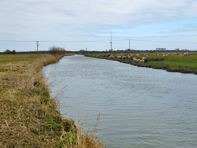
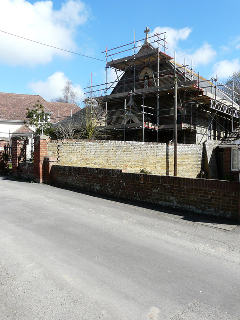
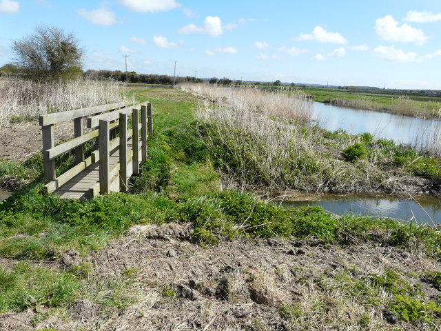
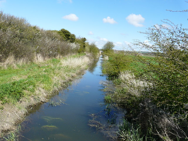
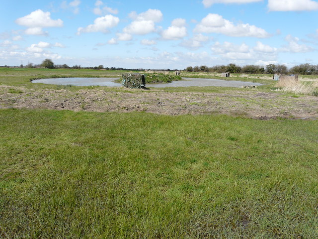
Minster Images
Images are sourced within 2km of 51.333404/1.327639 or Grid Reference TR3164. Thanks to Geograph Open Source API. All images are credited.


Minster is located at Grid Ref: TR3164 (Lat: 51.333404, Lng: 1.327639)
Administrative County: Kent
District: Thanet
Police Authority: Kent
What 3 Words
///slings.mining.conforms. Near Birchington-on-Sea, Kent
Related Wikis
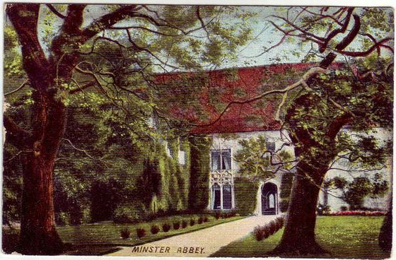
Minster in Thanet Priory
Minster Abbey is the name of two abbeys in Minster-in-Thanet, Kent, England. The first was a 7th-century foundation which lasted until the Dissolution...
Minster-in-Thanet
Minster, also known as Minster-in-Thanet, is a village and civil parish in the Thanet District of Kent, England. It is the site of Minster in Thanet Priory...

Minster railway station
Minster railway station serves the village of Minster in Kent and surrounding villages. It is next to a junction between Canterbury West, Ramsgate and...

Sevenscore
Sevenscore is a hamlet on the B2048 secondary road about one mile (1.6 km) east of Minster-in-Thanet in Kent, England. It is in the civil parish of Minster...
Nearby Amenities
Located within 500m of 51.333404,1.327639Have you been to Minster?
Leave your review of Minster below (or comments, questions and feedback).