Durlock
Settlement in Kent Thanet
England
Durlock
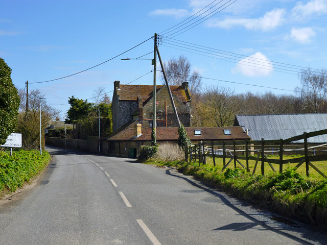
Durlock is a small village located in the county of Kent, in southeastern England. Situated near the coast, it is part of the administrative district of Dover and falls within the civil parish of St Margaret-at-Cliffe. The village is nestled between the larger towns of Deal and Dover, with easy access to both via the nearby A258 road.
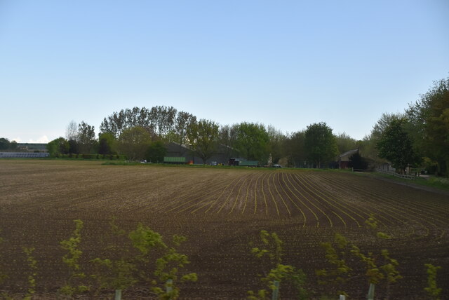
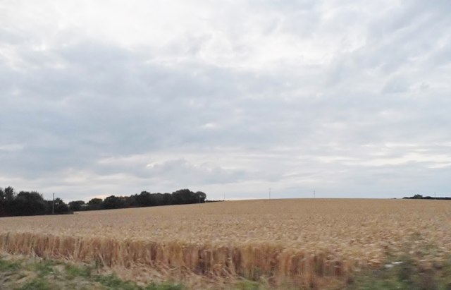
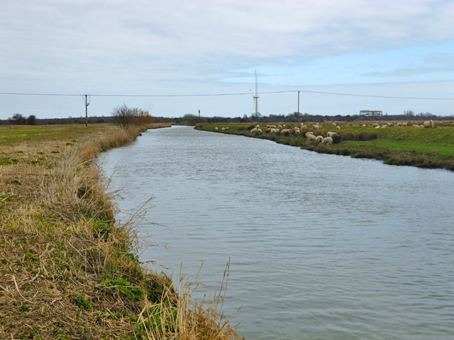
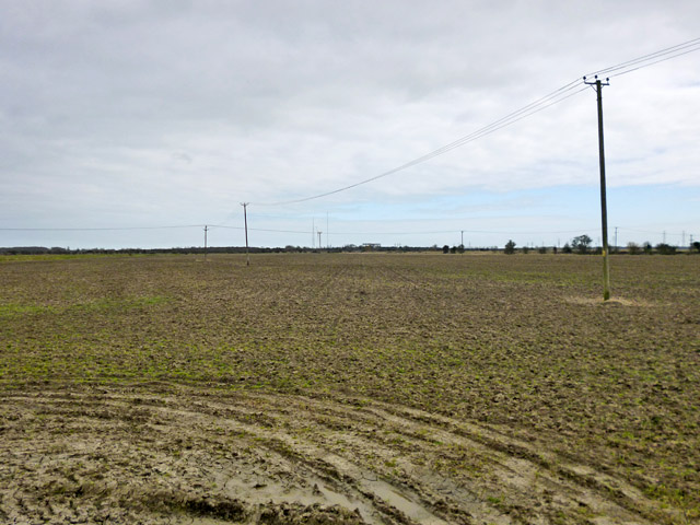
With a population of around 400 residents, Durlock is a peaceful and close-knit community. The village is characterized by its charming rural setting, surrounded by rolling hills, fields, and patches of woodland. The landscape offers picturesque views and opportunities for outdoor activities such as hiking, cycling, and nature walks.
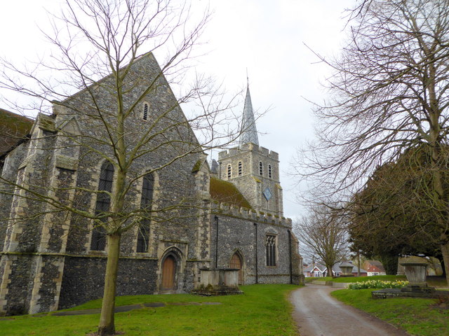
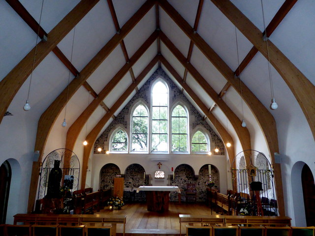
Durlock is known for its historical significance, as it is home to several ancient landmarks. The St. Margaret's Church, a beautiful medieval church dating back to the 12th century, stands proudly in the heart of the village. This architectural gem is a popular attraction for history enthusiasts and visitors alike.
Despite its small size, Durlock boasts a strong sense of community spirit. The village has a local pub, The Durlock Inn, which serves as a social hub for residents and visitors to enjoy a friendly atmosphere and traditional British fare. Additionally, the village hosts various events throughout the year, including fairs, community gatherings, and fundraisers.
Overall, Durlock offers a tranquil and idyllic setting, making it an appealing place to live or visit for those seeking a peaceful retreat amidst the natural beauty of Kent.
If you have any feedback on the listing, please let us know in the comments section below.
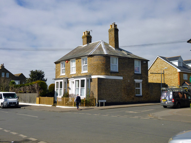
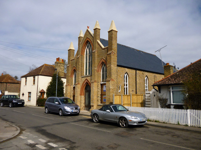
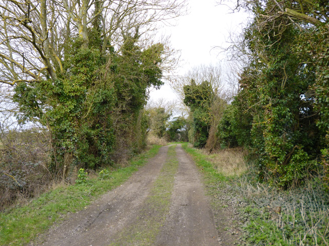
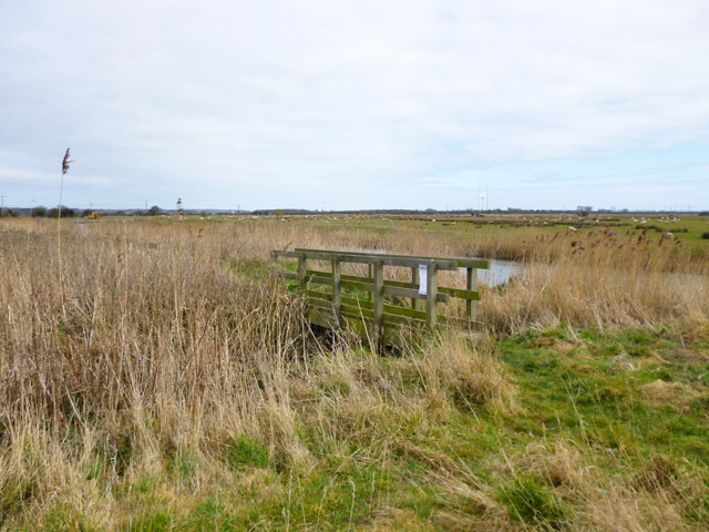
Durlock Images
Images are sourced within 2km of 51.33099/1.3184678 or Grid Reference TR3164. Thanks to Geograph Open Source API. All images are credited.


Durlock is located at Grid Ref: TR3164 (Lat: 51.33099, Lng: 1.3184678)
Administrative County: Kent
District: Thanet
Police Authority: Kent
What 3 Words
///operation.trading.fists. Near Birchington-on-Sea, Kent
Related Wikis
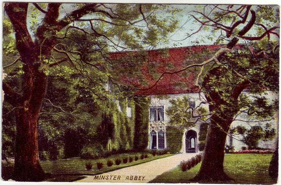
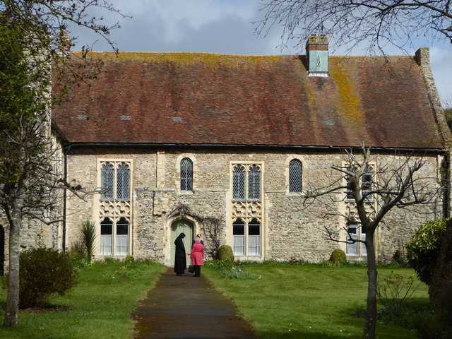
Minster in Thanet Priory
Minster Abbey is the name of two abbeys in Minster-in-Thanet, Kent, England. The first was a 7th-century foundation which lasted until the Dissolution...

Minster railway station
Minster railway station serves the village of Minster in Kent and surrounding villages. It is next to a junction between Canterbury West, Ramsgate and...
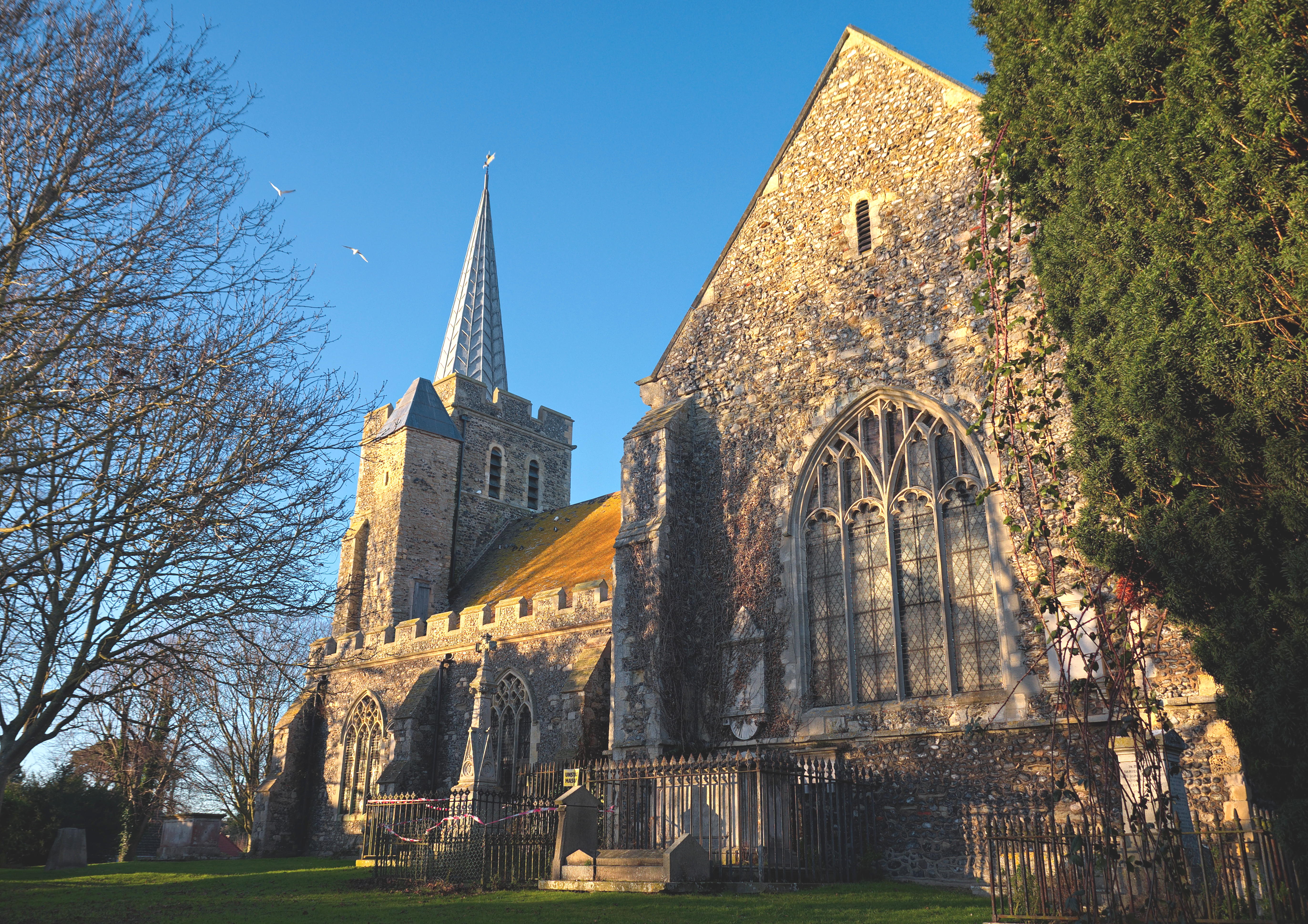
Minster-in-Thanet
Minster, also known as Minster-in-Thanet, is a village and civil parish in the Thanet District of Kent, England. It is the site of Minster in Thanet Priory...

Sevenscore
Sevenscore is a hamlet on the B2048 secondary road about one mile (1.6 km) east of Minster-in-Thanet in Kent, England. It is in the civil parish of Minster...
Nearby Amenities
Located within 500m of 51.33099,1.3184678Have you been to Durlock?
Leave your review of Durlock below (or comments, questions and feedback).