Durie

Settlement in Aberdeenshire

Scotland

Durie

Houses south of Clola
Houses south of Clola Credit: David Purchase

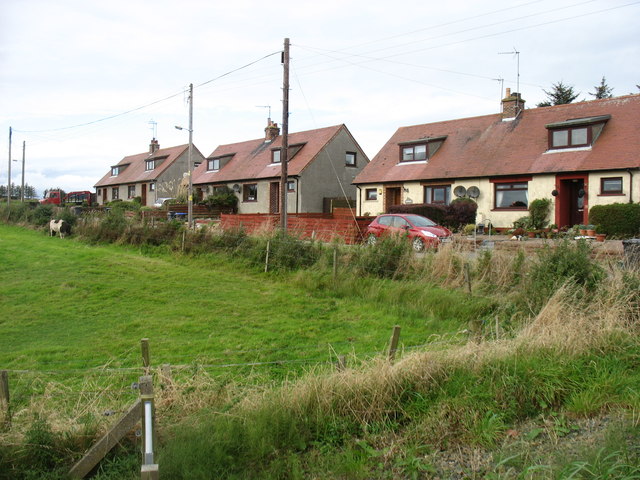
Durie is a small village located in Aberdeenshire, Scotland. Situated on the eastern coast of the country, it is nestled between the larger towns of Montrose and Stonehaven. With a population of around 500 residents, Durie is known for its picturesque countryside, charming architecture, and rich history.

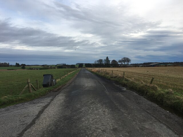
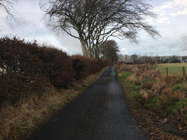
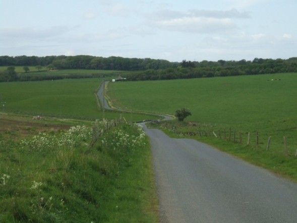
The village is surrounded by rolling hills and verdant farmland, offering visitors and residents stunning views of the Scottish countryside. The nearby North Sea coastline adds to the area's natural beauty, with sandy beaches and rugged cliffs.

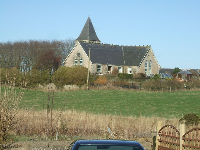
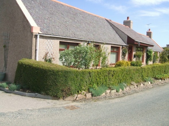
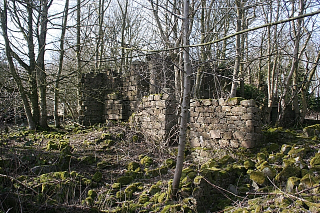
Durie boasts a well-preserved architectural heritage, with several notable buildings. The village church, St. Andrew's, is a prominent landmark, displaying impressive stonework and a striking spire. Other historical buildings, such as the old schoolhouse and various cottages, contribute to the village's unique character.

The community of Durie is tightly knit, with a range of amenities to serve its residents. These include a local pub, village hall, and a primary school. Although small in size, Durie benefits from its proximity to larger towns, which provide additional services and employment opportunities.

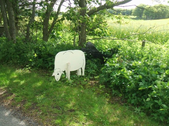
For outdoor enthusiasts, Durie offers ample opportunities for activities such as hiking, cycling, and fishing. The surrounding countryside and nearby coastline provide beautiful landscapes to explore. Additionally, the area is known for its diverse wildlife, including various seabirds and marine mammals.

Overall, Durie is a charming village that combines natural beauty and a rich history. With its close-knit community and idyllic location, it offers a peaceful and picturesque setting for both residents and visitors to enjoy.

If you have any feedback on the listing, please let us know in the comments section below.
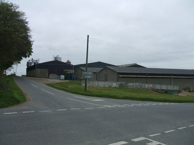
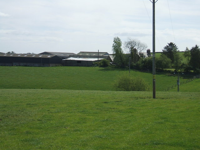
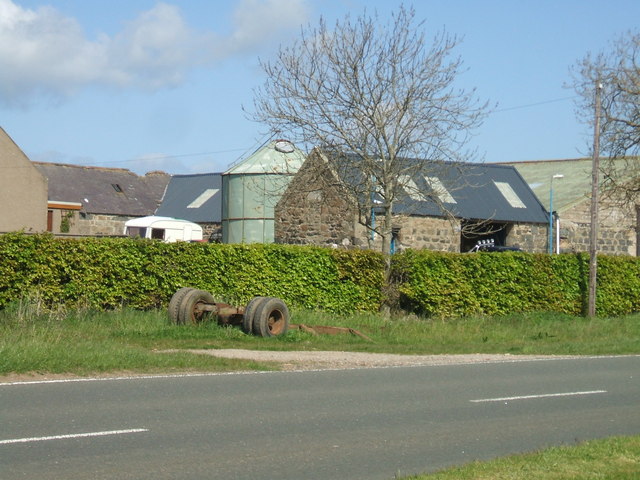
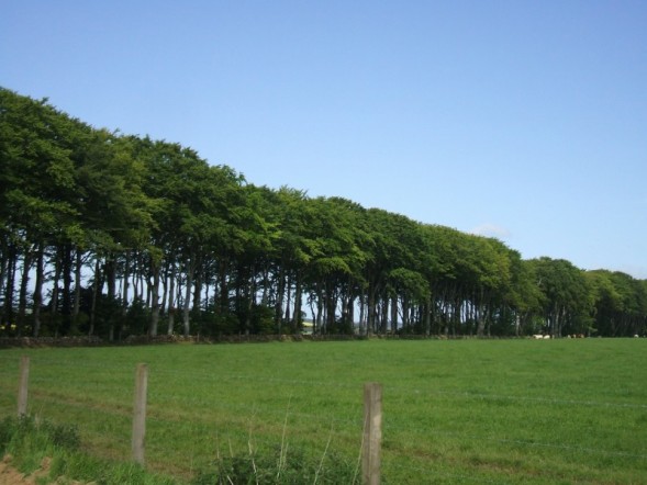
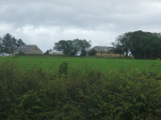
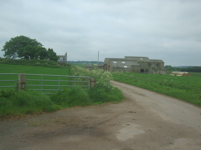
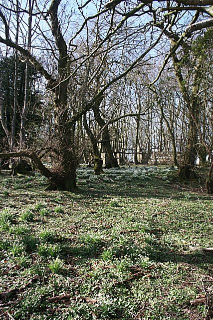
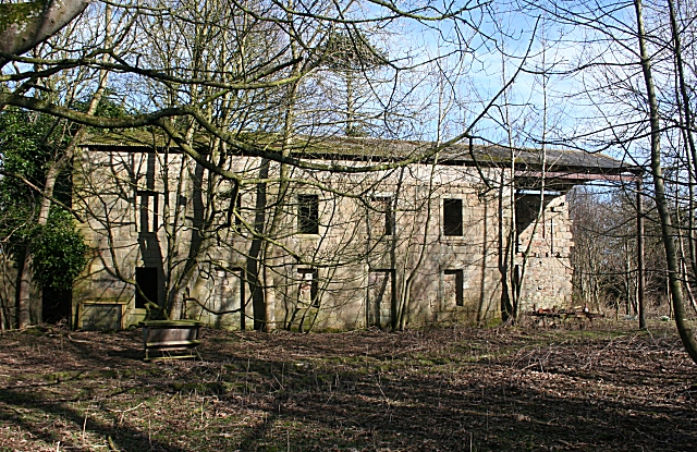
Durie Images

Images are sourced within 2km of 57.486075/-1.9913787 or Grid Reference NK0043. Thanks to Geograph Open Source API. All images are credited.

Houses south of Clola
Minor road towards Clola
Minor road towards Stuartfield
Church Croft, Clola Clola is a scattered community mid-way on the Ellon to Mintlaw road. Several interesting buildings in the area of which this is the most prominent
Church Croft, Clola
Clola is a scattered community mid-way on the Ellon to Mintlaw road. Several interesting buildings in the area of which this is the most prominent
Newton Farm The closest sheds are a piggery unit. Be grateful that digital cameras don't capture the pungent aroma!
Newton Farm
The closest sheds are a piggery unit. Be grateful that digital cameras don't capture the pungent aroma!
Barnyards Farm
Barnyards Farm
Bridgestone Farm steading now part used as a garage business
Bridgestone
Farm steading now part used as a garage business
Shelter Belt between Millhill and Durie
Cottage at Durie Durie is a collection of 4 or 5 of this type of building juxtaposed with 3 or 4 larger modern bungalows / big houses.
Cottage at Durie
Durie is a collection of 4 or 5 of this type of building juxtaposed with 3 or 4 larger modern bungalows / big houses.
Wooden Sheep and Wildcat ...possibly to mark some 'Beast of Bodmin' style sheep slaughtering events locally?
Wooden Sheep and Wildcat
...possibly to mark some 'Beast of Bodmin' style sheep slaughtering events locally?
View between Clayhills and Millhill
Old Quarry at Ludquharn
Road to Newton of Ludquharn Farm steading (out of shot to left) is abandoned and the land subsumed into neighbouring farm unit. Hence the gated off farm road
Road to Newton of Ludquharn
Farm steading (out of shot to left) is abandoned and the land subsumed into neighbouring farm unit. Hence the gated off farm road
Wester Pettymarcus from A952
Fordmouth Farm
Fordmouth Farm
Kinmundy A carpet of snowdrops in the woods at Kinmundy. I was a little surprised to see that many of them were already over, because it seems like just a few days since the whole countryside was blanketed in snow.
Kinmundy
A carpet of snowdrops in the woods at Kinmundy. I was a little surprised to see that many of them were already over, because it seems like just a few days since the whole countryside was blanketed in snow.
Derelict Building at Kinmundy The map marks Kinmundy House as a ruin. I don't think this is the original house, but possibly a later steading or barn.
Derelict Building at Kinmundy
The map marks Kinmundy House as a ruin. I don't think this is the original house, but possibly a later steading or barn.
Kinmundy I think this may be part of the actual Kinmundy House, seat of the Fergusons of Kinmundy. It was a classical 18th century house, probably built for James Ferguson, 1st of Kinmundy (1696-1777). The original house was attacked by Gordon of Glenbucket's army during the Jacobite Rising of 1745, but the story goes that Lady Kinmundy sent a message to the commanding officer that she had just prepared some food for his men when they set fire to her house and that if they wanted their dinner they would have to put the fire out first. A later Ferguson of Kinmundy, William Ferguson (1823-1904) was Chairman of the Great North of Scotland Railway from 1879 until his death, and the last of the line died during the First World War. The house fell into disrepair in the 20th century after the roof was removed to avoid having to pay rates. My thanks to Richard Hodgson for information about the house and family. For the avoidance of any confusion with other houses of the same name in the parishes of New Machar and Skene, this one is in the parish of Old Deer.
Kinmundy
I think this may be part of the actual Kinmundy House, seat of the Fergusons of Kinmundy. It was a classical 18th century house, probably built for James Ferguson, 1st of Kinmundy (1696-1777). The original house was attacked by Gordon of Glenbucket's army during the Jacobite Rising of 1745, but the story goes that Lady Kinmundy sent a message to the commanding officer that she had just prepared some food for his men when they set fire to her house and that if they wanted their dinner they would have to put the fire out first. A later Ferguson of Kinmundy, William Ferguson (1823-1904) was Chairman of the Great North of Scotland Railway from 1879 until his death, and the last of the line died during the First World War. The house fell into disrepair in the 20th century after the roof was removed to avoid having to pay rates. My thanks to Richard Hodgson for information about the house and family. For the avoidance of any confusion with other houses of the same name in the parishes of New Machar and Skene, this one is in the parish of Old Deer.
Show me another place!

Durie is located at Grid Ref: NK0043 (Lat: 57.486075, Lng: -1.9913787)

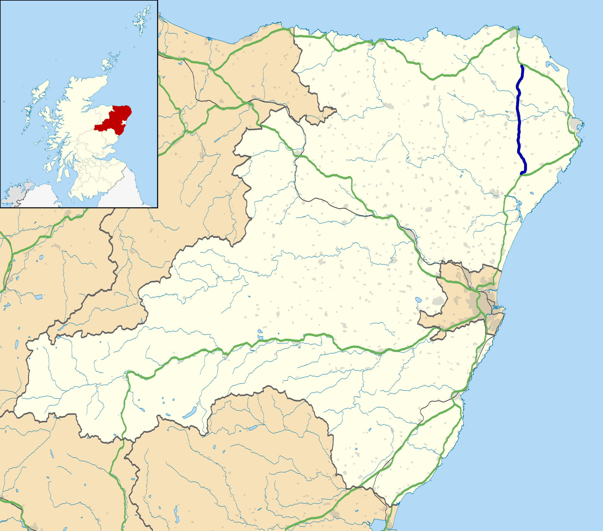
Unitary Authority: Aberdeenshire

Police Authority: North East

What 3 Words

///losing.chilled.corner. Near Mintlaw, Aberdeenshire

Nearby Locations

Durie

Related Wikis

A952 road

The A952 road is a main road in Aberdeenshire, Scotland. This roadway is a north–south connector that serves as an inland bypass to the more coastally...

Clola

Clola is a hamlet in Buchan, Aberdeenshire, Scotland. Clola is situated on the A952 road. There is considerable evidence of local habitation by early man...

Skelmuir Hill

Skelmuir Hill is a landform in Aberdeenshire, Scotland. This is the location of a trig point or official government survey marker. Skelmuir Hill is the...

Stuartfield

Stuartfield is a small inland village in the Buchan area of Aberdeenshire, Scotland, situated 1.8 kilometres (1.1 mi) south of Old Deer. It was formerly...

Nearby Amenities

Located within 500m of 57.486075,-1.9913787
Power: pole
Lat/Long: 57.4828315/-1.9878261
Power: pole
Lat/Long: 57.4832339/-1.9882714
Power: pole
Lat/Long: 57.4835787/-1.9886502
Power: pole
Lat/Long: 57.4839301/-1.9890412
Power: pole
Lat/Long: 57.4842903/-1.9894465
Power: pole
Lat/Long: 57.4846406/-1.9898599
Power: pole
Lat/Long: 57.4851539/-1.9904138
Power: pole
Lat/Long: 57.4856487/-1.9909738
Power: pole
Lat/Long: 57.4861325/-1.9914788
Power: pole
Lat/Long: 57.4841567/-1.998085
Power: pole
Lat/Long: 57.4840451/-1.9970689
Power: pole
Lat/Long: 57.4839301/-1.996071
Power: pole
Lat/Long: 57.4837911/-1.9948715
Power: pole
Lat/Long: 57.4836521/-1.9936639
Power: pole
Lat/Long: 57.483535/-1.9926213
Power: pole
Lat/Long: 57.4838962/-1.991713
Power: pole
Lat/Long: 57.4842695/-1.9907701
The data included in this document is from www.openstreetmap.org. The data is made available under ODbL.

Have you been to Durie?

Leave your review of Durie below (or comments, questions and feedback).