Hart Hill
Hill, Mountain in Hampshire New Forest
England
Hart Hill
Hart Hill is a prominent geographical feature located in the county of Hampshire, England. This hill, also referred to as Harting Hill, stands at an elevation of approximately 204 meters (669 feet) above sea level. It is situated within the South Downs National Park, offering stunning views of the surrounding countryside and neighboring areas.
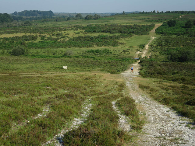
Hart Hill is part of a range of hills known as the South Downs, which stretch across several counties in southern England. It is situated near the small village of Harting, and is easily accessible from nearby towns such as Petersfield and Chichester. The hill is a popular destination for outdoor enthusiasts, including hikers, walkers, and nature lovers.
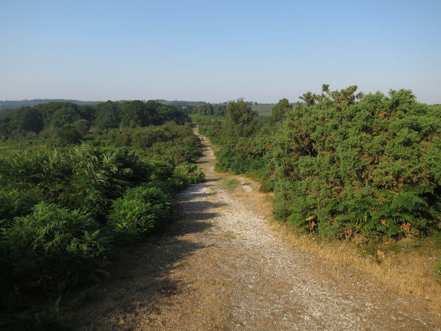
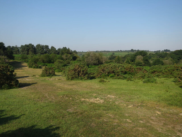
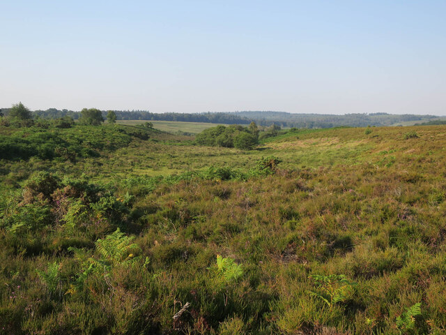
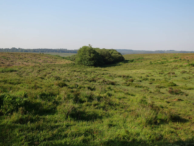
The landscape around Hart Hill is characterized by rolling hills, lush green fields, and patches of woodland. It is home to a diverse range of flora and fauna, including various species of wildflowers, butterflies, and birds. The hill itself is covered with grass and heather, providing a picturesque setting for visitors to explore and enjoy.
At the summit of Hart Hill, there is a trig point, which marks the highest point of the hill and serves as a reference point for surveying. From this vantage point, one can admire panoramic views of the surrounding countryside, including the nearby South Downs Way and the beautiful South Downs landscape.
Overall, Hart Hill in Hampshire offers visitors a chance to immerse themselves in the natural beauty of the South Downs, providing a peaceful and scenic retreat for all who venture to its summit.
If you have any feedback on the listing, please let us know in the comments section below.
Hart Hill Images
Images are sourced within 2km of 50.891121/-1.6298802 or Grid Reference SU2610. Thanks to Geograph Open Source API. All images are credited.


Hart Hill is located at Grid Ref: SU2610 (Lat: 50.891121, Lng: -1.6298802)
Administrative County: Hampshire
District: New Forest
Police Authority: Hampshire
What 3 Words
///embodied.chum.lipstick. Near Lyndhurst, Hampshire
Nearby Locations
Related Wikis

New Forest District
New Forest is a local government district in Hampshire, England. Its council is based in Lyndhurst, although the largest town is Totton. The district also...

Minstead
Minstead is a small village and civil parish in the New Forest, Hampshire, about 2 miles (3.2 km) north of Lyndhurst. There is a shop and a pub, the Trusty...

Upper Canterton
Upper Canterton is a village in Hampshire, England, located at 50°54′36″N 1°37′24″W. It is near Minstead. == References == The geographic coordinates are...

Portuguese Fireplace
The Portuguese Fireplace is a war memorial in the New Forest National Park, near the village of Lyndhurst, Hampshire, England. It is located on the road...

Minstead Lodge
Minstead Lodge in Hampshire is a building of historical significance built in about 1830 and is Grade II listed on the English Heritage Register. Today...

Emery Down
Emery Down is a small village in the New Forest National Park in Hampshire, England. Its nearest town is Lyndhurst, which lies approximately 1.4 miles...

Christ Church, Emery Down
Christ Church is a Church of England church in Emery Down, Hampshire, England. It was designed by William Butterfield and constructed in 1863–64. The church...

New Forest
The New Forest is one of the largest remaining tracts of unenclosed pasture land, heathland and forest in Southern England, covering southwest Hampshire...
Nearby Amenities
Located within 500m of 50.891121,-1.6298802Have you been to Hart Hill?
Leave your review of Hart Hill below (or comments, questions and feedback).