Ringwood Ford Bottom
Valley in Hampshire New Forest
England
Ringwood Ford Bottom
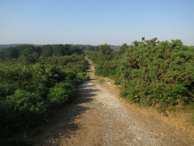
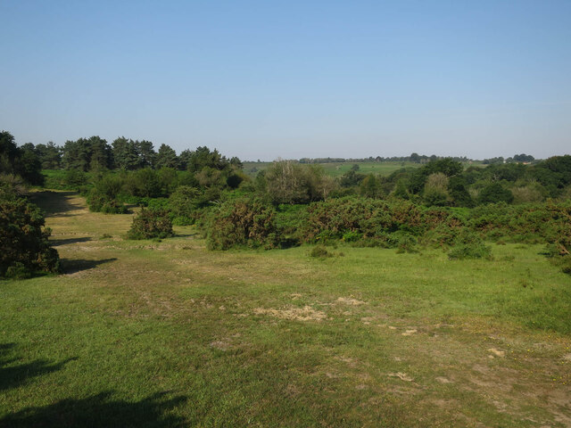
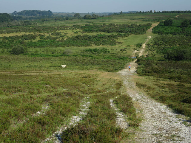
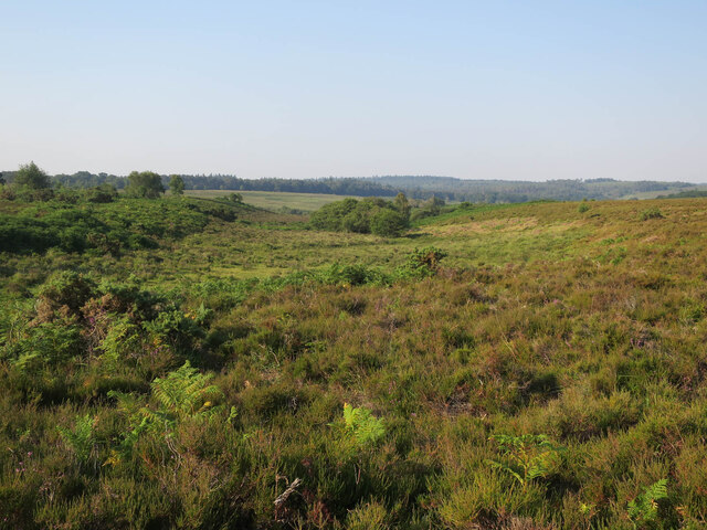
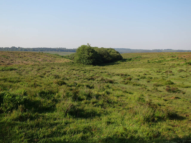
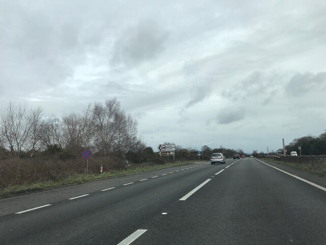
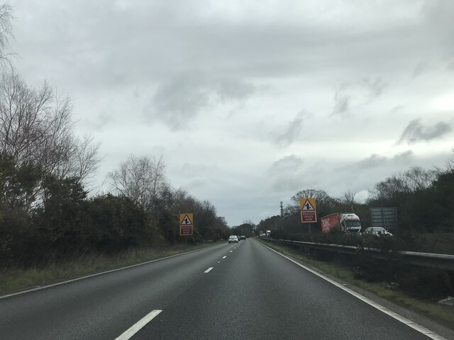
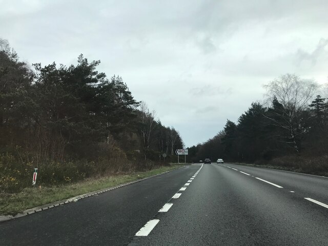
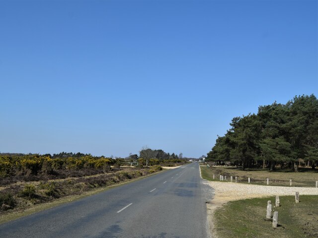
Ringwood Ford Bottom is a charming valley located in Hampshire, England. Nestled within the New Forest National Park, this idyllic area is renowned for its natural beauty and tranquil atmosphere. The valley is situated near the town of Ringwood, which provides convenient access to amenities while still maintaining a sense of peaceful seclusion.
Surrounded by rolling hills and dense woodlands, Ringwood Ford Bottom offers breathtaking views and an abundance of outdoor activities. The valley is traversed by the tranquil River Avon, which adds to the area's picturesque charm. Visitors can enjoy leisurely walks along the riverbank, exploring the rich flora and fauna that thrive in this unspoiled habitat.
In addition to its natural attractions, Ringwood Ford Bottom also boasts historical significance. The valley is home to the remains of an ancient ford, which was once a crucial crossing point for travelers and traders. This ford played a pivotal role in the area's development and is a testament to its longstanding heritage.
For nature enthusiasts, Ringwood Ford Bottom offers a diverse range of wildlife, including deer, foxes, and an array of bird species. This makes it a popular destination for birdwatching and wildlife photography.
Overall, Ringwood Ford Bottom is a captivating destination that seamlessly combines history, natural beauty, and tranquil surroundings. Whether visitors seek outdoor adventures, historical exploration, or simply a peaceful retreat, this picturesque valley offers an unforgettable experience in the heart of Hampshire.
If you have any feedback on the listing, please let us know in the comments section below.
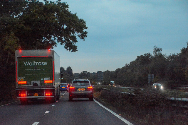
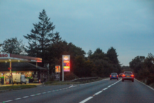
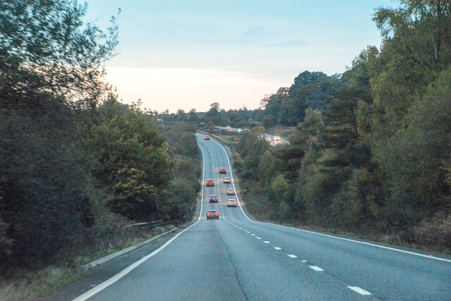
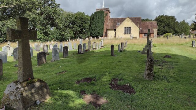
Ringwood Ford Bottom Images
Images are sourced within 2km of 50.893963/-1.627142 or Grid Reference SU2610. Thanks to Geograph Open Source API. All images are credited.


Ringwood Ford Bottom is located at Grid Ref: SU2610 (Lat: 50.893963, Lng: -1.627142)
Administrative County: Hampshire
District: New Forest
Police Authority: Hampshire
What 3 Words
///lends.solder.nuggets. Near Lyndhurst, Hampshire
Nearby Locations
Related Wikis

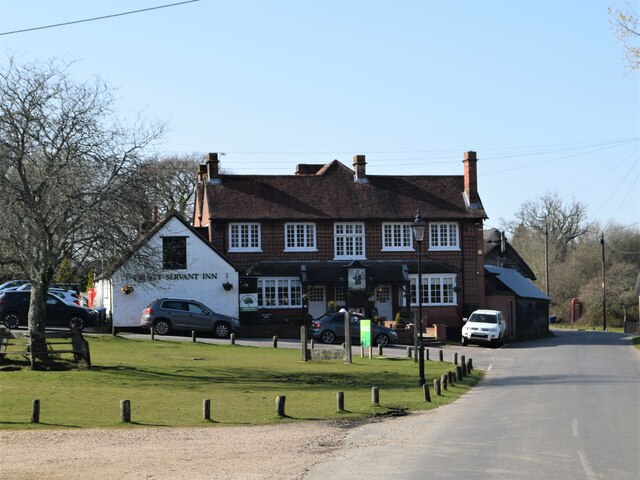
Minstead
Minstead is a small village and civil parish in the New Forest, Hampshire, about 2 miles (3.2 km) north of Lyndhurst. There is a shop and a pub, the Trusty...

New Forest District
New Forest is a local government district in Hampshire, England. Its council is based in Lyndhurst, although the largest town is Totton. The district also...

Upper Canterton
Upper Canterton is a village in Hampshire, England, located at 50°54′36″N 1°37′24″W. It is near Minstead. == References == The geographic coordinates are...

Minstead Lodge
Minstead Lodge in Hampshire is a building of historical significance built in about 1830 and is Grade II listed on the English Heritage Register. Today...

Portuguese Fireplace
The Portuguese Fireplace is a war memorial in the New Forest National Park, near the village of Lyndhurst, Hampshire, England. It is located on the road...

Emery Down
Emery Down is a small village in the New Forest National Park in Hampshire, England. Its nearest town is Lyndhurst, which lies approximately 1.4 miles...

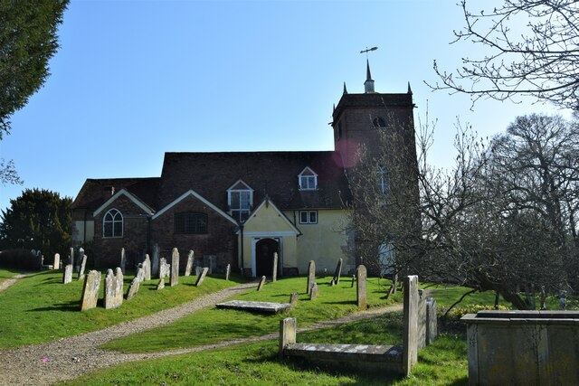
Christ Church, Emery Down
Christ Church is a Church of England church in Emery Down, Hampshire, England. It was designed by William Butterfield and constructed in 1863–64. The church...

Ocknell Plain
Ocknell Plain can be found in the New Forest near Southampton, England. The area was used in World War II for the Stoney Cross airfield and it is now very...
Related Videos

Sport Walking Top Tips - How to Climb: The art of walking up hills FAST!
In this video, Roger gives advice on how you can make walking uphill easier, more efficient and more enjoyable. If you find ...
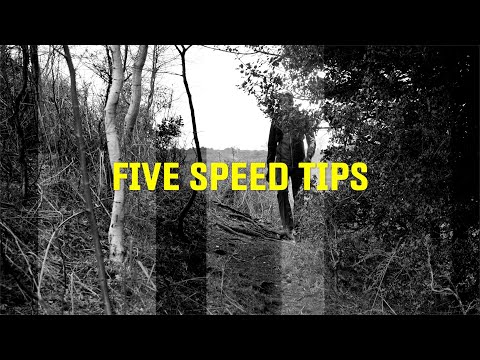
Sport Walking Top Tips - Five ways to be faster on your walks
This video was first published as a part of the Sport Walk Show and in it we look at five easy ways to save time on your challenge ...
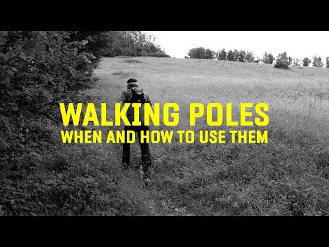
Sport Walking Top Tips - Walking Poles - how & when to use them.
We're often asked whether we recommend using walking poles for Sport Walking. Well, if you're a Nordic Walker then the answer ...
Different Walking Techniques - Which is best for Sport Walking Challenges
In this video, Roger looks at different walking techniques and discusses the pros and cons of using each one for Sport Walking ...
Nearby Amenities
Located within 500m of 50.893963,-1.627142Have you been to Ringwood Ford Bottom?
Leave your review of Ringwood Ford Bottom below (or comments, questions and feedback).