Broseley Wood
Settlement in Shropshire
England
Broseley Wood
Broseley Wood is a picturesque village located in the county of Shropshire, England. Situated in the heart of the country, it is nestled amongst the stunning landscapes of the Shropshire Hills. The village is part of the larger parish of Broseley, which includes the nearby settlements of Broseley and Jackfield.
Broseley Wood is known for its tranquil atmosphere and natural beauty. Surrounded by dense woodlands and rolling countryside, it offers a peaceful retreat for residents and visitors alike. The village is characterized by its charming cottages and traditional architecture, reflecting the area's rich history and heritage.
Despite its rural location, Broseley Wood benefits from excellent transport links. The nearby A442 road connects the village to larger towns and cities in the region, making it easily accessible by car. Additionally, the village is served by regular bus services, providing convenient access to surrounding areas.
Residents of Broseley Wood enjoy a close-knit community spirit, with various social and recreational activities taking place throughout the year. The village boasts a range of amenities, including a local shop, a pub, and a community center, catering to the needs of its residents.
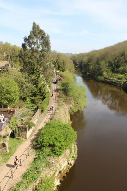
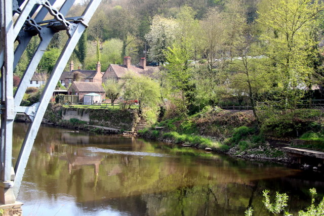
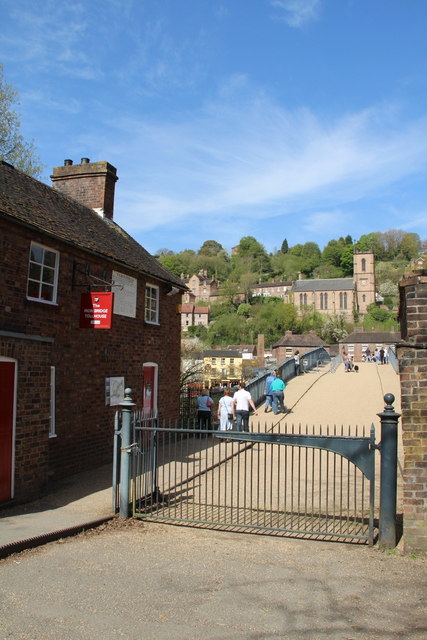
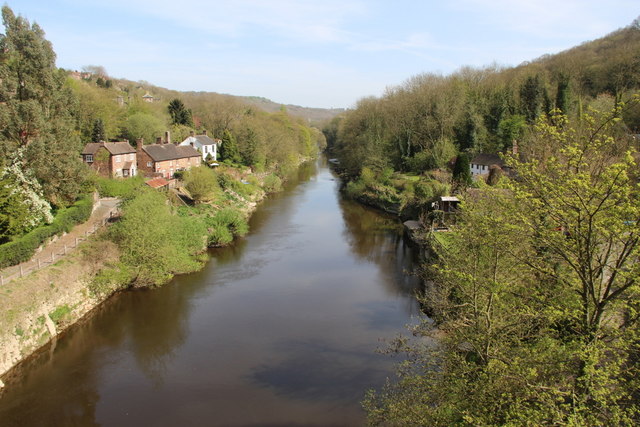
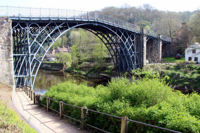
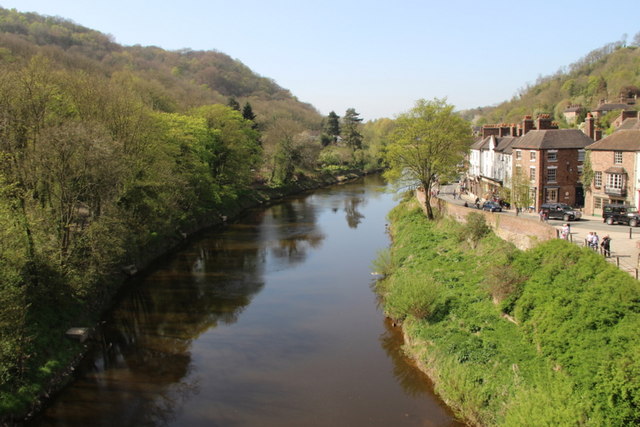
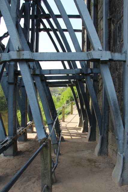
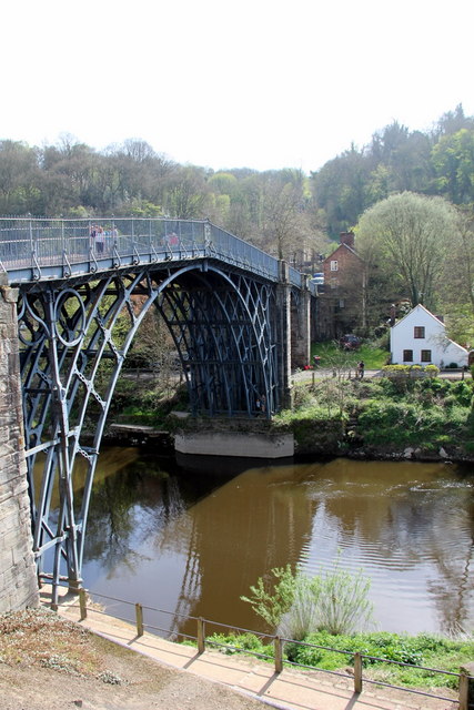
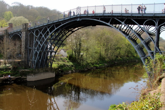
Broseley Wood is also a popular destination for nature lovers and outdoor enthusiasts. The surrounding woodlands offer ample opportunities for walking, hiking, and wildlife spotting. Nearby attractions such as the Ironbridge Gorge, a UNESCO World Heritage Site, further enhance the area's appeal, showcasing its industrial heritage and offering educational and recreational opportunities for visitors of all ages.
In summary, Broseley Wood is a charming village in Shropshire, offering a peaceful retreat amidst natural beauty and a strong sense of community.
If you have any feedback on the listing, please let us know in the comments section below.
Broseley Wood Images
Images are sourced within 2km of 52.620613/-2.480783 or Grid Reference SJ6702. Thanks to Geograph Open Source API. All images are credited.


Broseley Wood is located at Grid Ref: SJ6702 (Lat: 52.620613, Lng: -2.480783)
Unitary Authority: Shropshire
Police Authority: West Mercia
What 3 Words
///polygraph.hang.speedy. Near Broseley, Shropshire
Nearby Locations
Related Wikis

Birchmeadow Playing Fields
Birchmeadow Playing Field Site is a 5.3-hectare (13-acre) recreational area in Broseley, England, consisting of a mixture of woodland, play area, and a...

Broseley Pipeworks
The Broseley Pipeworks is one of ten Ironbridge Gorge Museums administered by the Ironbridge Gorge Museum Trust. The museum is based in the small town...
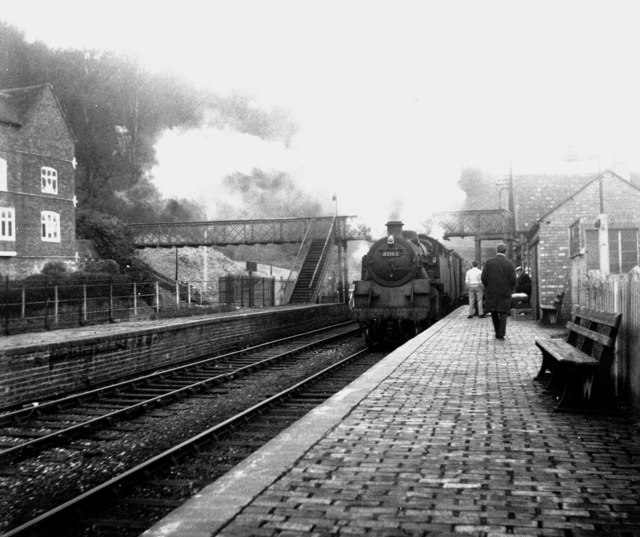
Ironbridge and Broseley railway station
Ironbridge and Broseley railway station was a railway station with two through platforms on the Severn Valley Railway Line in Shropshire, England. The...
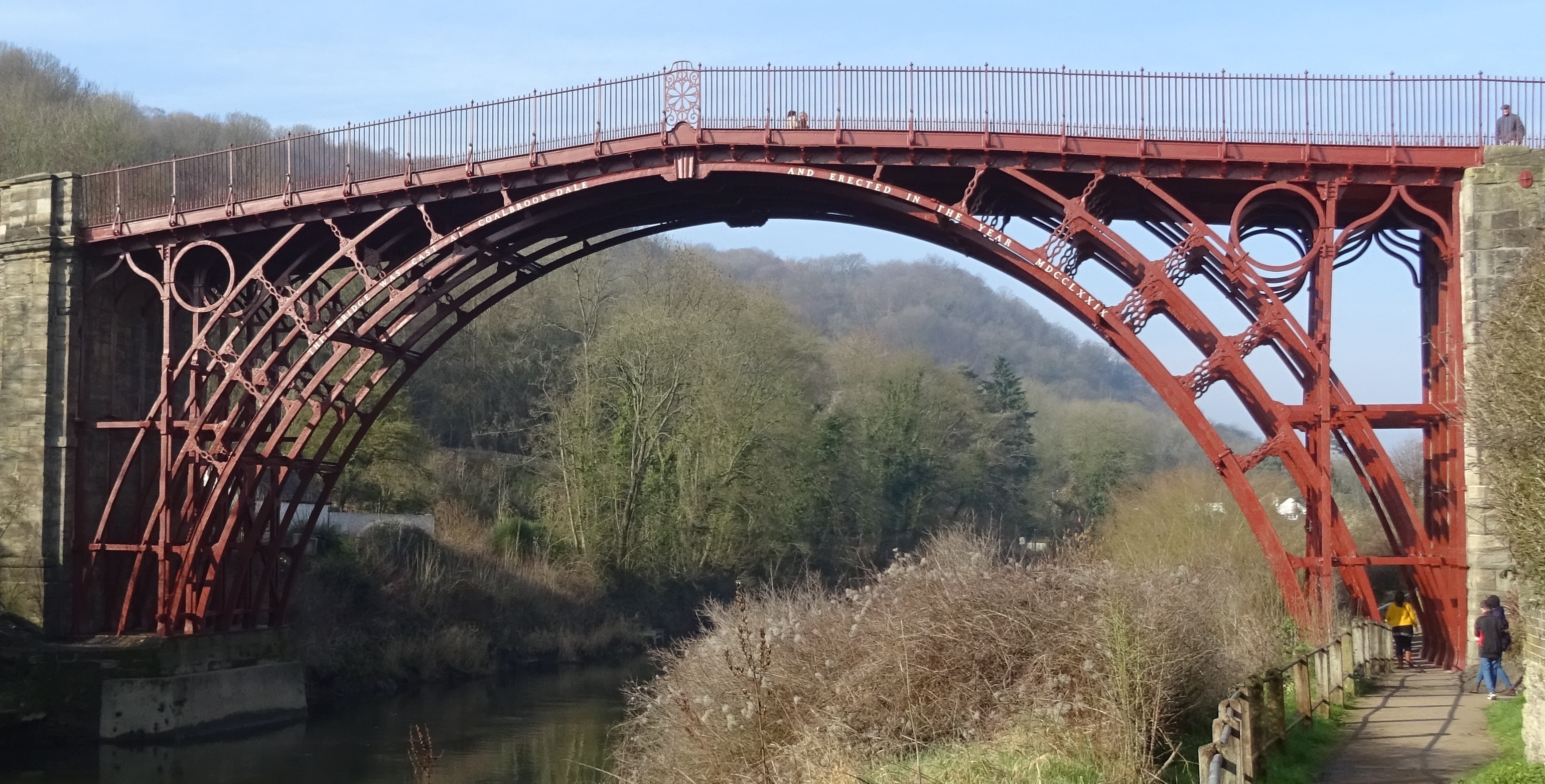
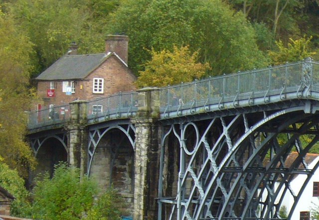
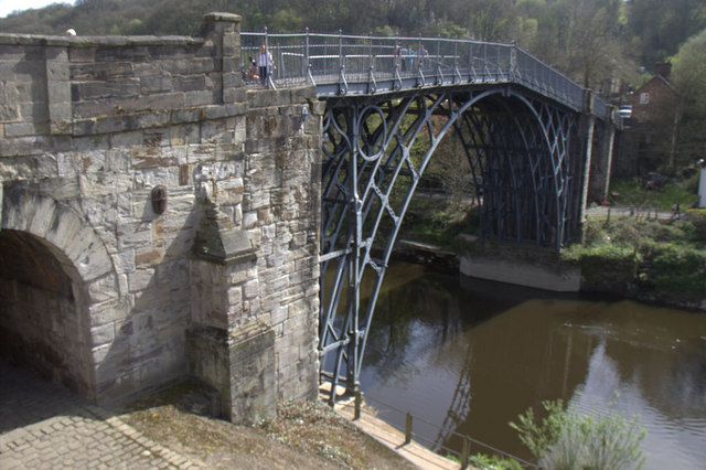
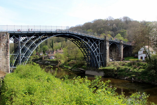
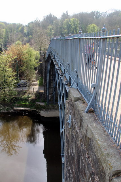
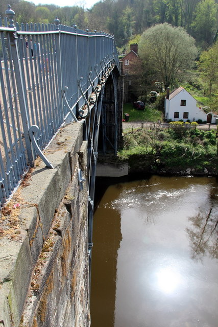
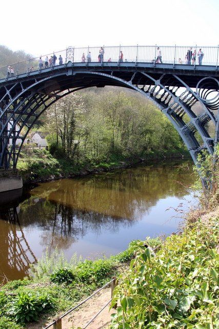
The Iron Bridge
The Iron Bridge is a cast iron arch bridge that crosses the River Severn in Shropshire, England. Opened in 1781, it was the first major bridge in the world...
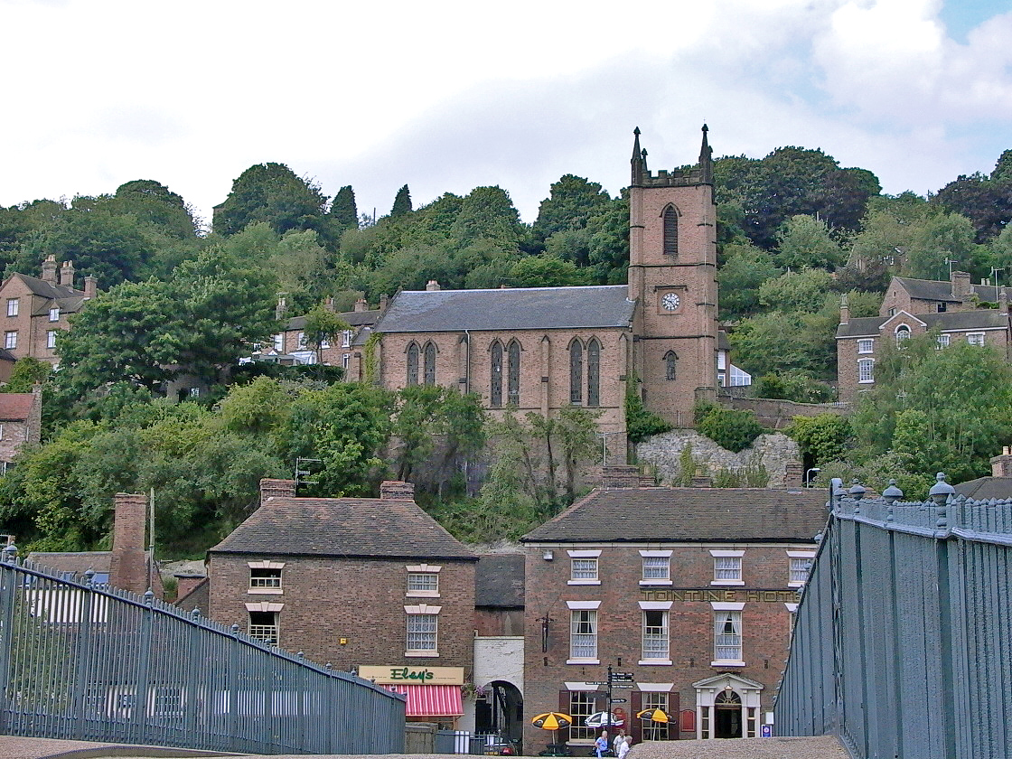
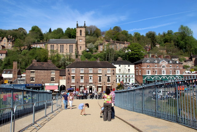
Ironbridge
Ironbridge is a large village in the borough of Telford and Wrekin in Shropshire, England. Located on the bank of the River Severn, at the heart of the...

Enginuity
Enginuity is an interactive design and technology centre in Coalbrookdale, Shropshire, England. It is the newest of the ten museums operated by the Ironbridge...
Broseley
Broseley () is a market town in Shropshire, England, with a population of 4,929 at the 2011 Census and an estimate of 5,022 in 2019. The River Severn flows...

Jackfield
Jackfield is a village in Shropshire, England, lying on the south bank of River Severn in the Ironbridge Gorge, downstream from Ironbridge. Like many of...
Nearby Amenities
Located within 500m of 52.620613,-2.480783Have you been to Broseley Wood?
Leave your review of Broseley Wood below (or comments, questions and feedback).