Stocking Mound
Hill, Mountain in Shropshire
England
Stocking Mound

Stocking Mound is a prominent hill located in the county of Shropshire, England. Rising to a height of approximately 310 meters (1017 feet) above sea level, it is considered one of the notable landmarks in the area. Situated near the village of Stanton Long, Stocking Mound offers breathtaking panoramic views of the surrounding countryside.
The hill is characterized by its distinctive conical shape and lush green vegetation covering its slopes. It is primarily composed of sedimentary rocks, including sandstone and limestone, which give it a rugged and weathered appearance. The hill's summit is flat and provides an ideal vantage point for visitors to admire the stunning vistas of the Shropshire Hills Area of Outstanding Natural Beauty.
Stocking Mound has a rich history, with evidence of human habitation dating back thousands of years. Archaeological excavations have revealed the presence of Bronze Age burial mounds on its slopes, indicating its significance to ancient communities. In more recent times, the hill has been used for agricultural purposes, primarily grazing sheep and cattle.
The area surrounding Stocking Mound is a haven for wildlife enthusiasts and nature lovers. The diverse range of habitats supports a variety of flora and fauna, including rare and protected species. Visitors may spot a wide range of bird species, such as buzzards, kestrels, and peregrine falcons, soaring above the hill.
Accessible via a network of footpaths and trails, Stocking Mound attracts hikers, walkers, and outdoor enthusiasts throughout the year. Its picturesque setting and natural beauty make it a popular destination for locals and tourists alike, seeking solitude and tranquility in the heart of Shropshire's countryside.
If you have any feedback on the listing, please let us know in the comments section below.
Stocking Mound Images
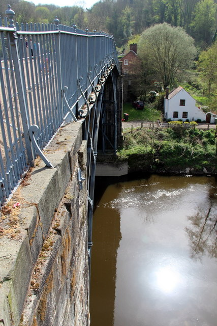
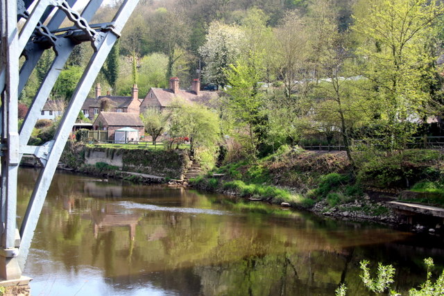
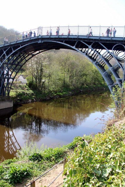
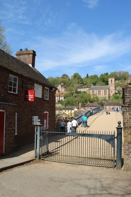
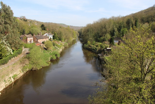
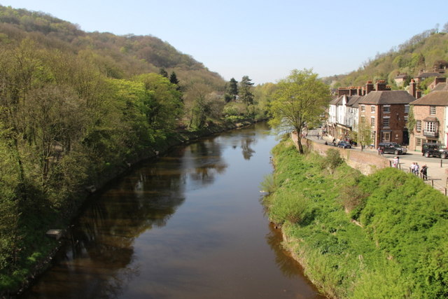
Images are sourced within 2km of 52.620431/-2.4810998 or Grid Reference SJ6702. Thanks to Geograph Open Source API. All images are credited.


Stocking Mound is located at Grid Ref: SJ6702 (Lat: 52.620431, Lng: -2.4810998)
Unitary Authority: Shropshire
Police Authority: West Mercia
What 3 Words
///renovated.beaters.cooked. Near Broseley, Shropshire
Nearby Locations
Related Wikis

Birchmeadow Playing Fields
Birchmeadow Playing Field Site is a 5.3-hectare (13-acre) recreational area in Broseley, England, consisting of a mixture of woodland, play area, and a...

Broseley Pipeworks
The Broseley Pipeworks is one of ten Ironbridge Gorge Museums administered by the Ironbridge Gorge Museum Trust. The museum is based in the small town...
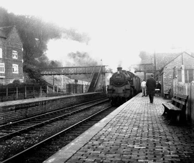
Ironbridge and Broseley railway station
Ironbridge and Broseley railway station was a railway station with two through platforms on the Severn Valley Railway Line in Shropshire, England. The...
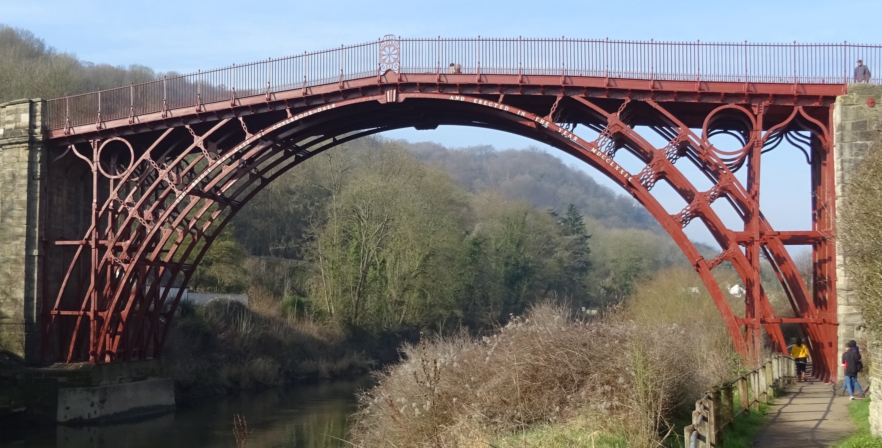
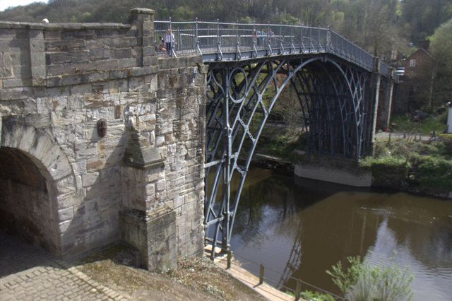
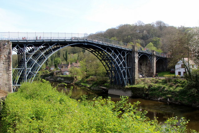
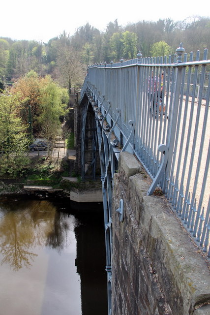
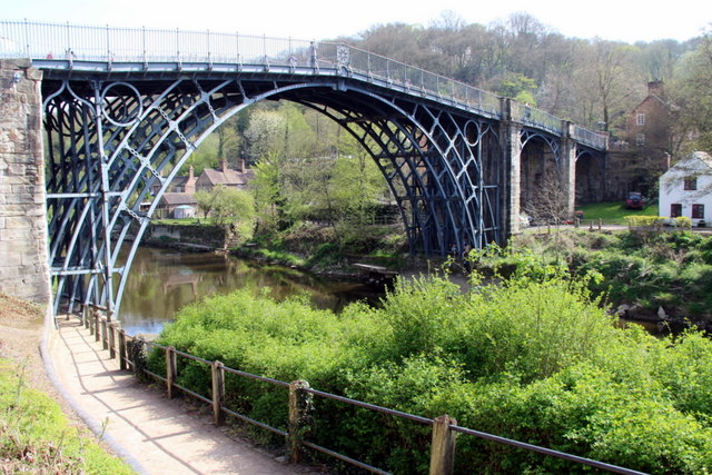
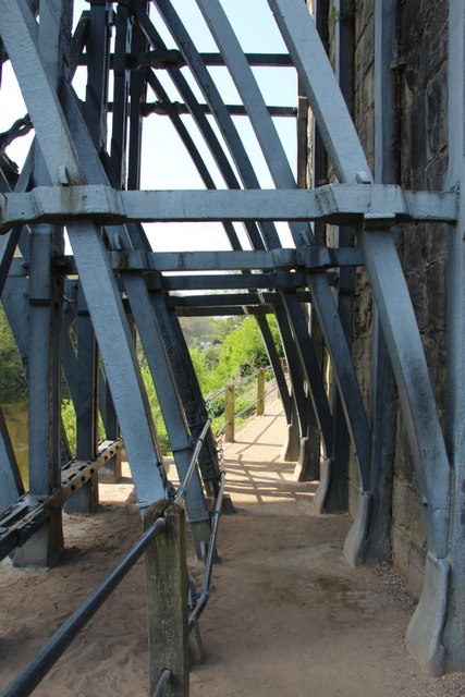
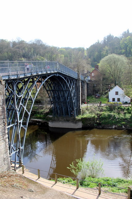
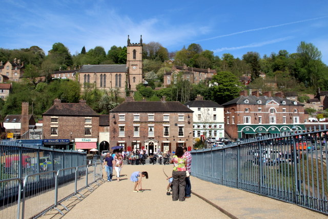
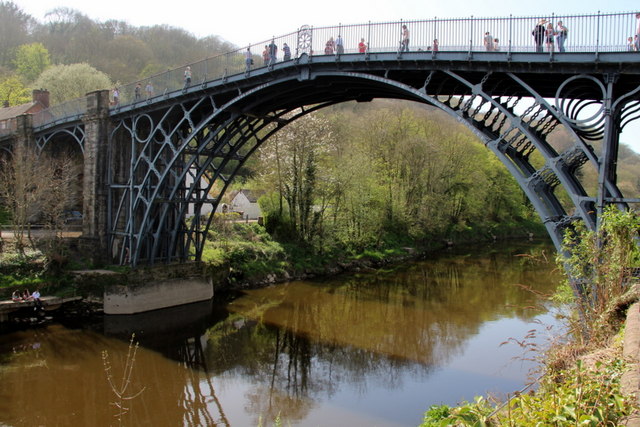
The Iron Bridge
The Iron Bridge is a cast iron arch bridge that crosses the River Severn in Shropshire, England. Opened in 1781, it was the first major bridge in the world...
Nearby Amenities
Located within 500m of 52.620431,-2.4810998Have you been to Stocking Mound?
Leave your review of Stocking Mound below (or comments, questions and feedback).