Cockshot Mound
Hill, Mountain in Shropshire
England
Cockshot Mound
Cockshot Mound, located in the county of Shropshire, England, is a prominent hill that offers stunning views of the surrounding countryside. Standing at an elevation of approximately 308 meters (1,010 feet), this natural landmark is often referred to as a mound due to its distinctive shape and gentle slopes.
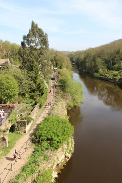
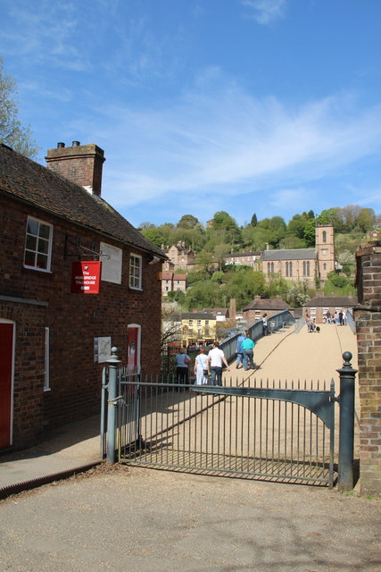
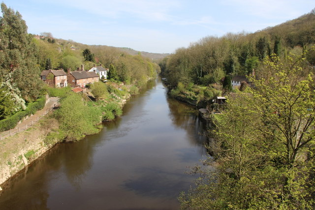
Situated near the village of Church Stretton, Cockshot Mound is a popular destination for hikers, nature enthusiasts, and photographers alike. The hill is covered in lush green vegetation, with a variety of trees and wildflowers adorning its slopes. As visitors ascend the hill, they can enjoy panoramic vistas of the Shropshire Hills Area of Outstanding Natural Beauty, which encompasses the rolling countryside, picturesque valleys, and distant peaks.
At the summit of Cockshot Mound, there is a trig point, a concrete pillar used in surveying, which provides a reference point for measuring distances and angles. This feature is often used by geographers, mapmakers, and walkers navigating the area. On clear days, the view from the trig point extends for miles, showcasing the beauty and diversity of the Shropshire landscape.
Cockshot Mound is easily accessible, with various footpaths and trails leading to its summit. These routes offer opportunities to explore the surrounding countryside, discover local wildlife, and enjoy the peaceful ambiance of rural England. Whether it's a leisurely stroll or a challenging hike, Cockshot Mound provides an unforgettable experience for visitors seeking natural beauty in Shropshire.
If you have any feedback on the listing, please let us know in the comments section below.
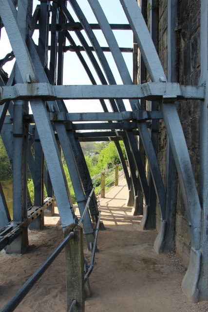
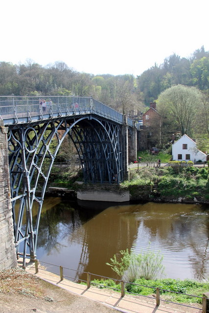
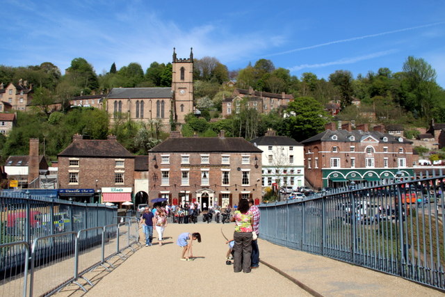
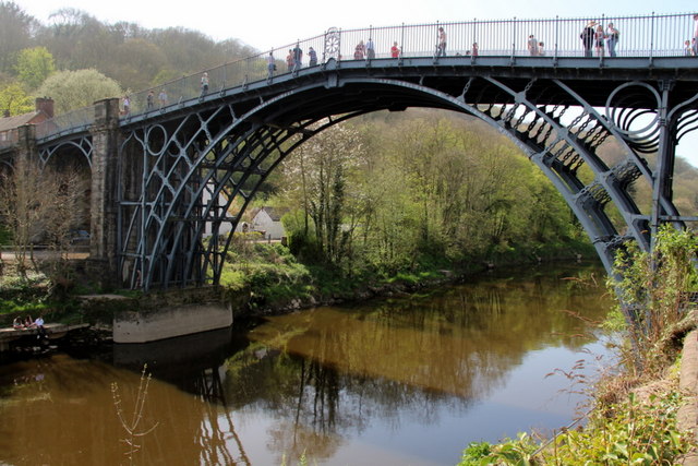
Cockshot Mound Images
Images are sourced within 2km of 52.616965/-2.4822434 or Grid Reference SJ6702. Thanks to Geograph Open Source API. All images are credited.


Cockshot Mound is located at Grid Ref: SJ6702 (Lat: 52.616965, Lng: -2.4822434)
Unitary Authority: Shropshire
Police Authority: West Mercia
What 3 Words
///crows.misfits.majority. Near Broseley, Shropshire
Nearby Locations
Related Wikis

Birchmeadow Playing Fields
Birchmeadow Playing Field Site is a 5.3-hectare (13-acre) recreational area in Broseley, England, consisting of a mixture of woodland, play area, and a...

Broseley Pipeworks
The Broseley Pipeworks is one of ten Ironbridge Gorge Museums administered by the Ironbridge Gorge Museum Trust. The museum is based in the small town...

Broseley
Broseley () is a market town in Shropshire, England, with a population of 4,929 at the 2011 Census and an estimate of 5,022 in 2019. The River Severn flows...

Benthall, Shropshire
Benthall is a small village in Shropshire, England, in the civil parish of Barrow. It is situated to the south of Telford, about a mile south of Ironbridge...
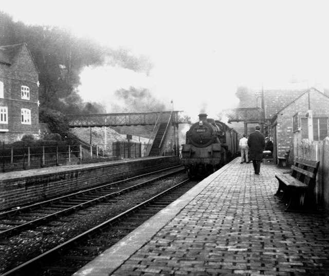
Ironbridge and Broseley railway station
Ironbridge and Broseley railway station was a railway station with two through platforms on the Severn Valley Railway Line in Shropshire, England. The...
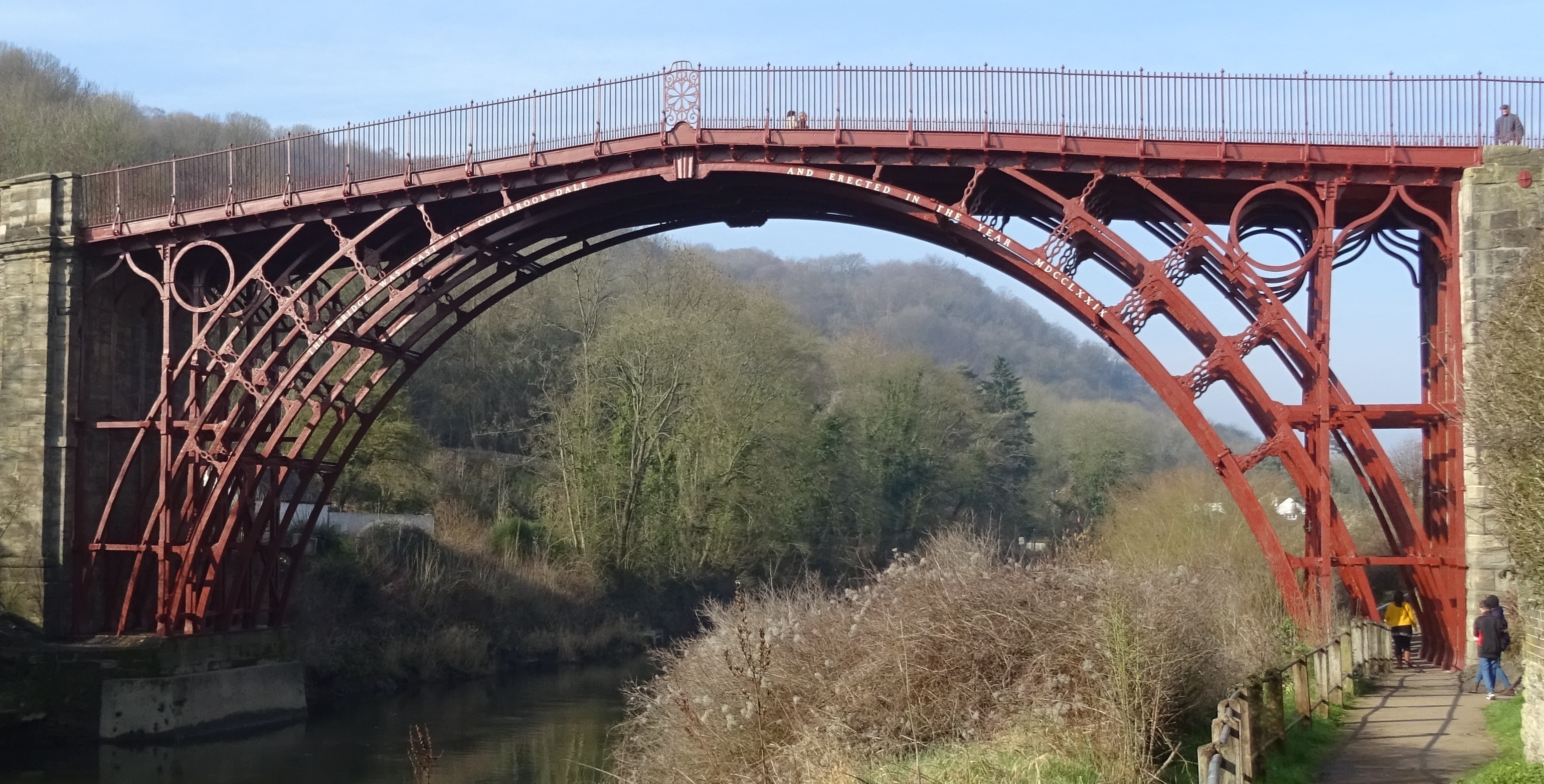
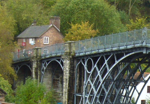
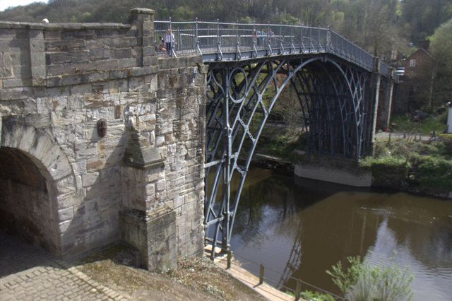
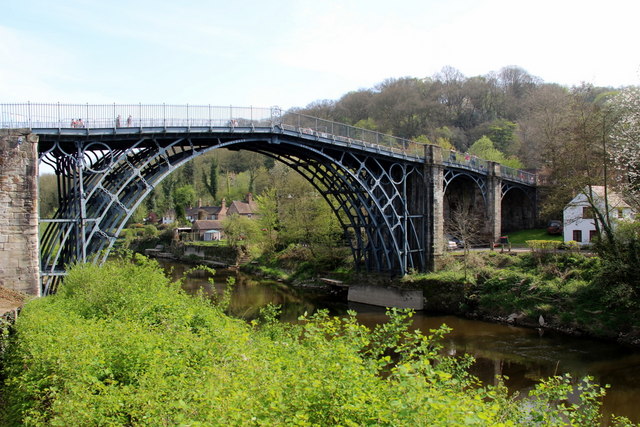
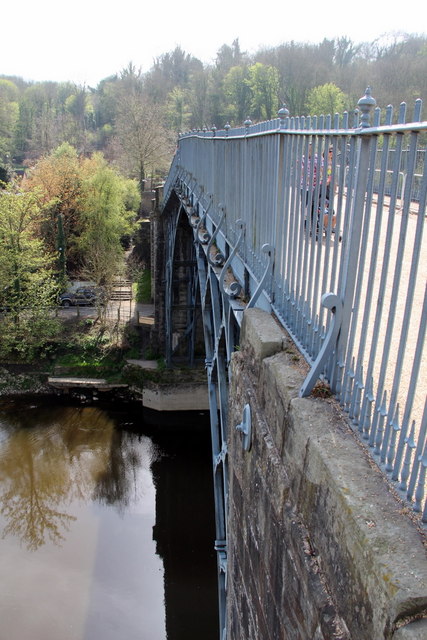
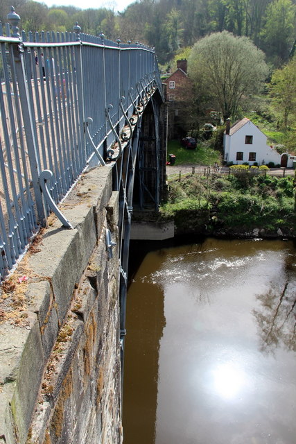
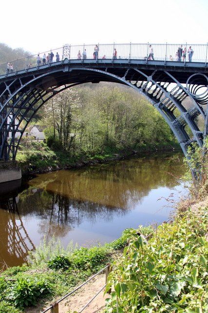
The Iron Bridge
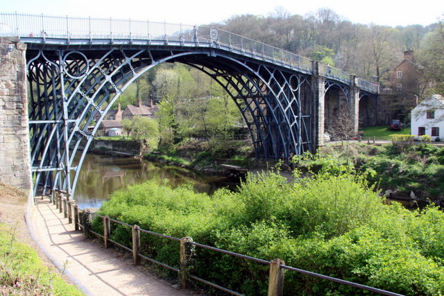
The Iron Bridge is a cast iron arch bridge that crosses the River Severn in Shropshire, England. Opened in 1781, it was the first major bridge in the world...
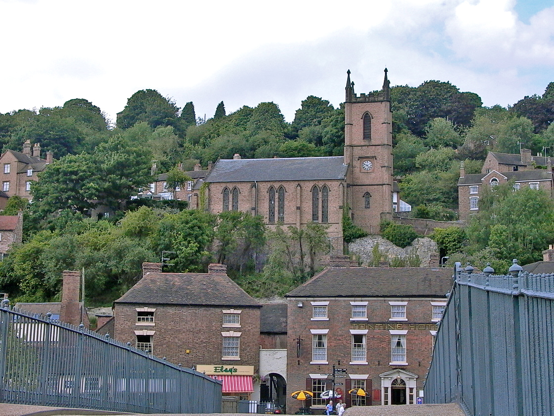
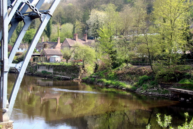
Ironbridge
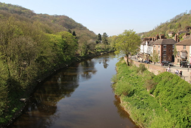
Ironbridge is a large village in the borough of Telford and Wrekin in Shropshire, England. Located on the bank of the River Severn, at the heart of the...

Enginuity
Enginuity is an interactive design and technology centre in Coalbrookdale, Shropshire, England. It is the newest of the ten museums operated by the Ironbridge...
Nearby Amenities
Located within 500m of 52.616965,-2.4822434Have you been to Cockshot Mound?
Leave your review of Cockshot Mound below (or comments, questions and feedback).