Brotherhouse Bar

Settlement in Lincolnshire South Holland

England

Brotherhouse Bar

Cowbit House Farm Cottage
Cowbit House Farm Cottage Credit: Jonathan Thacker

Brotherhouse Bar is a charming village situated in the county of Lincolnshire, England. Nestled amidst picturesque countryside, this tranquil hamlet offers a serene escape from the hustle and bustle of city life. With a population of around 400 residents, it exudes a close-knit community atmosphere.

The village is renowned for its historic significance, dating back to the medieval era. Brotherhouse Bar derives its name from an ancient wayside cross that once stood at the entrance of the village. Today, only the base of the cross remains, serving as a reminder of its rich heritage.

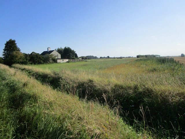
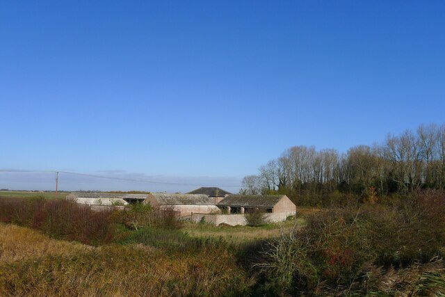
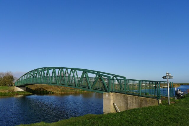
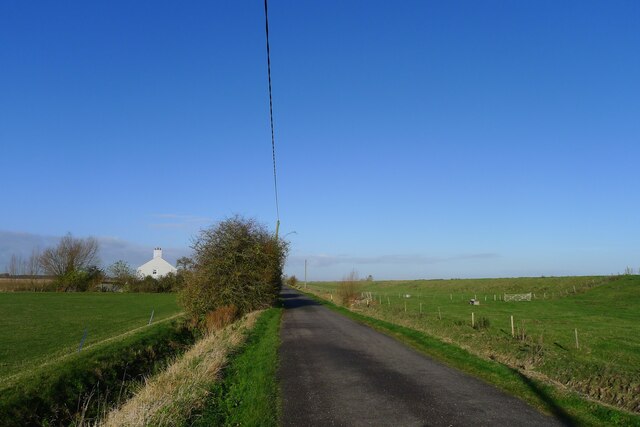
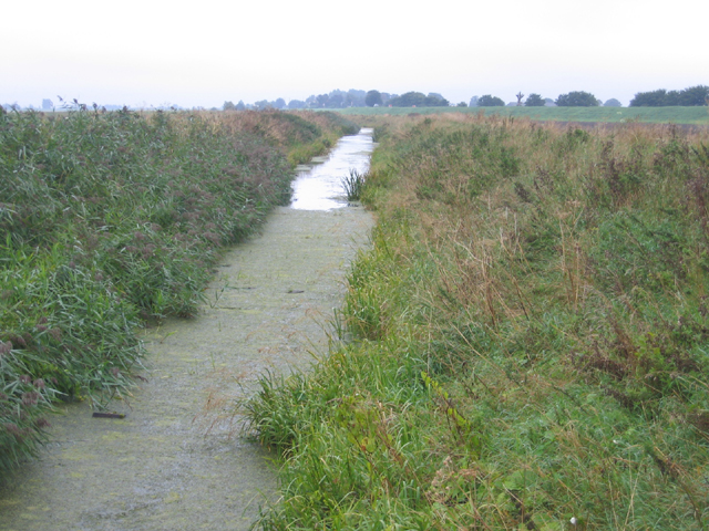
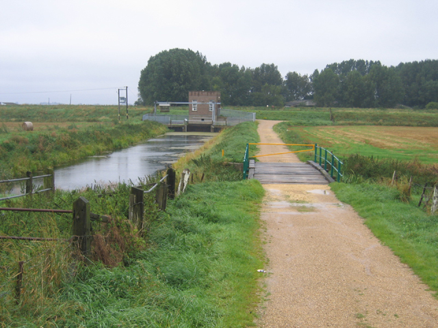
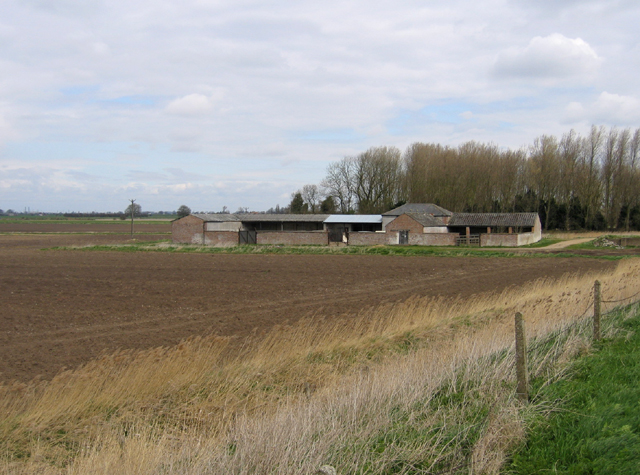
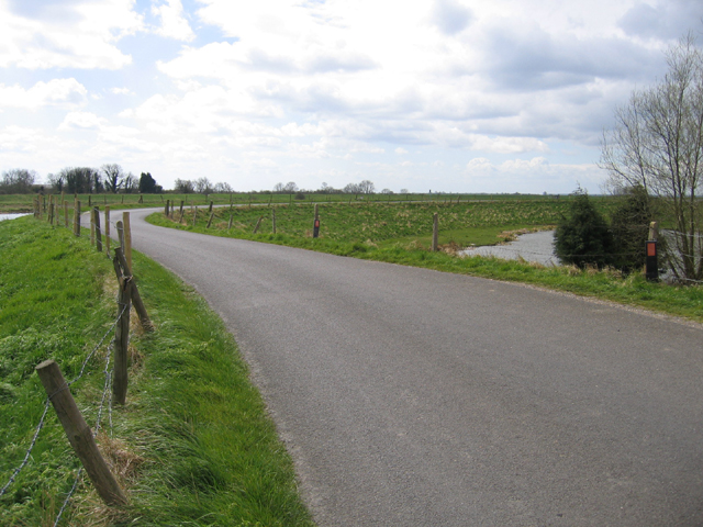
Visitors to Brotherhouse Bar are greeted by a delightful array of traditional stone cottages and quaint country gardens. The village is enveloped by lush green fields and meandering streams, providing a picturesque backdrop for leisurely walks and outdoor activities.

Brotherhouse Bar is also home to a charming local pub, The Cross Arms, which has been serving the community for over a century. This traditional English pub offers a warm and inviting atmosphere, with a roaring fireplace in the winter months and a beer garden for alfresco dining during the summer. The pub serves a selection of fine ales and hearty pub fare, attracting both locals and tourists alike.

Overall, Brotherhouse Bar is a hidden gem in Lincolnshire, offering a peaceful retreat for those seeking a rural escape. Its rich history, stunning natural surroundings, and welcoming community make it a must-visit destination for anyone exploring the region.

If you have any feedback on the listing, please let us know in the comments section below.

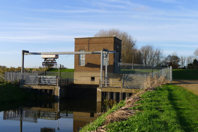
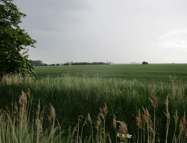
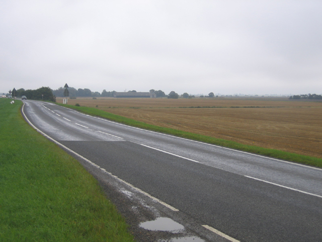
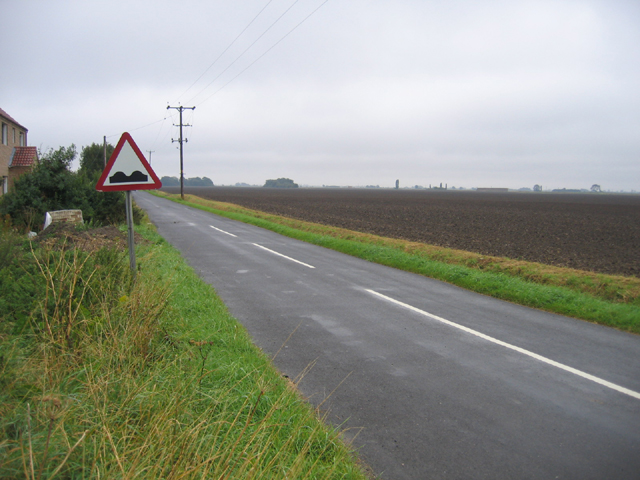
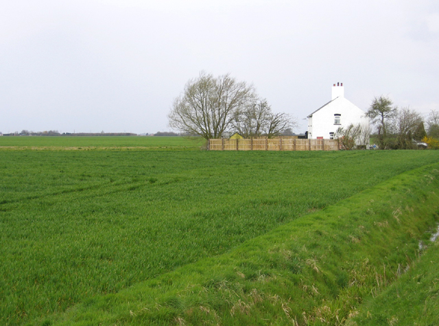
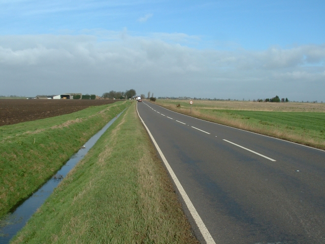
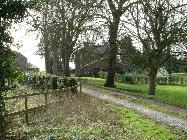
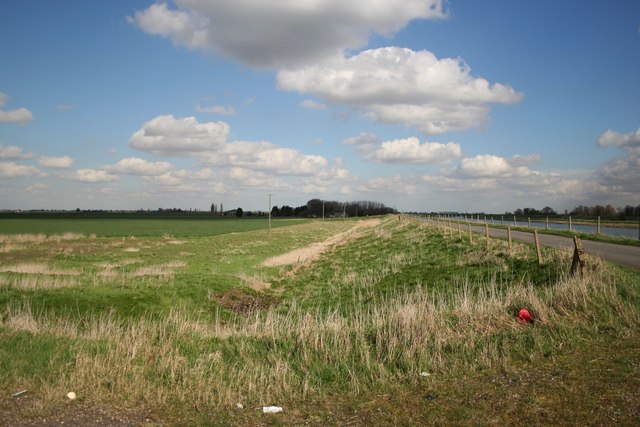
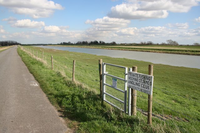
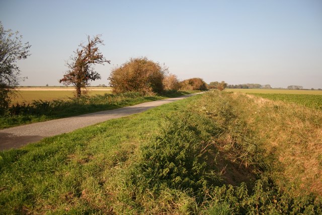
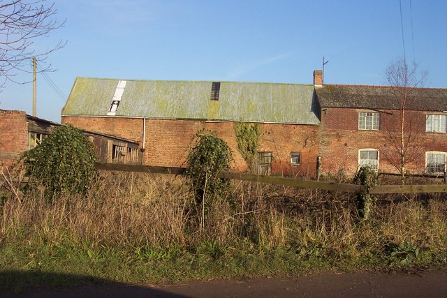
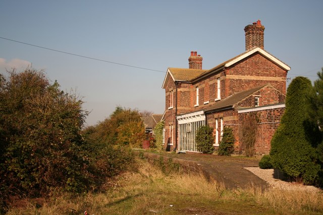
Brotherhouse Bar Images

Images are sourced within 2km of 52.7174/-0.1344 or Grid Reference TF2614. Thanks to Geograph Open Source API. All images are credited.

Cowbit House Farm Cottage
Congreaves Farm
Congreaves Farm
Four Mile Bar bridge Taking footpaths on the right bank of the Welland over to Welland Bank road. More useful, perhaps, the 1952 OS map shows an earlier bridge here connected to a pub called the Four Mile Bar on the other side.
Four Mile Bar bridge
Taking footpaths on the right bank of the Welland over to Welland Bank road. More useful, perhaps, the 1952 OS map shows an earlier bridge here connected to a pub called the Four Mile Bar on the other side.
Cradge Bank Road approaching Cowbit Cottage Following Cycle Route 12 along the left bank of the Welland north from Crowland. Initially the road ran along the river embankment, but now runs below the embankment (visible on the right), so the river is no longer visible.
Cradge Bank Road approaching Cowbit Cottage
Following Cycle Route 12 along the left bank of the Welland north from Crowland. Initially the road ran along the river embankment, but now runs below the embankment (visible on the right), so the river is no longer visible.
The Crowland and Cowbit Wash pumping station Two pumps with a combined capacity of 1.55 cubic metres per second <span class="nowrap"><a title="https://www.wellandidb.org.uk/about-us/pumping-stations/" rel="nofollow ugc noopener" href="https://www.wellandidb.org.uk/about-us/pumping-stations/">Link</a><img style="margin-left:2px;" alt="External link" title="External link - shift click to open in new window" src="https://s1.geograph.org.uk/img/external.png" width="10" height="10"/></span> pumping water from the New River into the River Welland
The Crowland and Cowbit Wash pumping station
Two pumps with a combined capacity of 1.55 cubic metres per second LinkExternal link pumping water from the New River into the River Welland
Wheat field off Bellingham's Drove
Cowbit Wash Barrier Bank, Lincs View NE from Brotherhouse Bar along the A1074 towards Cowbit.
Cowbit Wash Barrier Bank, Lincs
View NE from Brotherhouse Bar along the A1074 towards Cowbit.
Queen's Bank and Great Postland, Crowland, Lincs
New River, Cowbit Wash, Lincs In the SE corner of the square; the small New River bounds the eastern side of the flood-relief wash and the raised River Welland the western side.
New River, Cowbit Wash, Lincs
In the SE corner of the square; the small New River bounds the eastern side of the flood-relief wash and the raised River Welland the western side.
Pumping Station, Cowbit Wash, Lincs Pumping from the low-level New River into the raised River Welland; view from Wash Bank.
Pumping Station, Cowbit Wash, Lincs
Pumping from the low-level New River into the raised River Welland; view from Wash Bank.
Congreaves Farm, Deeping St Nicholas, Lincs – view from the Welland Bank.
Congreaves Farm, Deeping St Nicholas, Lincs
– view from the Welland Bank.
The Gull, River Welland, Deeping St Nicholas, Lincs The constructed semi-circular curve in the river bank, called a gull, contains a small fishery.
The Gull, River Welland, Deeping St Nicholas, Lincs
The constructed semi-circular curve in the river bank, called a gull, contains a small fishery.
Cottage by the Welland Bank, Deeping St Nicholas, Lincs
A1073 south of Cowbit This busy main road runs across the South Holland fens between Peterborough and Spalding.
A1073 south of Cowbit
This busy main road runs across the South Holland fens between Peterborough and Spalding.
Queen's Bank farm, Moulton West Fen A pleasant and prosperous farmhouse in the South Holland fens.
Queen's Bank farm, Moulton West Fen
A pleasant and prosperous farmhouse in the South Holland fens.
Welland Bank Looking east towards Gull House Farm along Welland Bank
Welland Bank
Looking east towards Gull House Farm along Welland Bank
Private Fishing On Welland Bank
Private Fishing
On Welland Bank
Cloot Drove Looking north along Cloot Drove at Crowland Falls
Cloot Drove
Looking north along Cloot Drove at Crowland Falls
Show me another place!

Brotherhouse Bar is located at Grid Ref: TF2614 (Lat: 52.7174, Lng: -0.1344)

Division: Parts of Holland

Administrative County: Lincolnshire

District: South Holland

Police Authority: Lincolnshire

What 3 Words

///flaked.beside.correctly. Near Cowbit, Lincolnshire

Nearby Locations

Brotherhouse Bar

Related Wikis

Peak Hill, Lincolnshire

Peak Hill is a hamlet in the South Holland district of Lincolnshire, England. It is situated 4 miles (6 km) south from Spalding and 10 miles (16 km) north...

Fitton End

Fitton End is a hamlet in the civil parish of Newton-in-the-Isle, in the Fenland district, in the county of Cambridgeshire, England. It has a population...

Cowbit

Cowbit (locally pronounced Cubbit) is a village and civil parish in the South Holland district of Lincolnshire, England. The population of the civil parish...

Cowbit railway station

Cowbit railway station was a station in Cowbit, Lincolnshire, England. It was located on the route between Spalding and March. == History == The station...

South Holland District

South Holland is a local government district of Lincolnshire, England. The council is based in Spalding. Other notable towns and villages include Crowland...

Postland railway station

Postland railway station was a station on the Great Northern and Great Eastern Joint Railway in Crowland, Lincolnshire, which is now closed. It took its...

South Holland and The Deepings (UK Parliament constituency)

South Holland and The Deepings is a constituency in Lincolnshire represented in the House of Commons of the UK Parliament since its 1997 creation by John...

Moulton Chapel

Moulton Chapel is a village in the South Holland district of Lincolnshire, England. It is on the B1357 road, 4 miles (6 km) south from Moulton, 5 miles...

Nearby Amenities

Located within 500m of 52.7174,-0.1344
Bus Stop
Queens Bank
Naptan AtcoCode: 270000009732
Naptan Bearing: SE
Naptan CommonName: Queens Bank
Naptan Indicator: adj
Naptan Landmark: Queens Bank
Naptan NaptanCode: linjdtgp
Naptan Street: Barrier Bank
Naptan Verified: no
Source: naptan_import
Lat/Long: 52.7170073/-0.1349248
Bus Stop
Queens Bank
Naptan AtcoCode: 2700LBB00534
Naptan Bearing: NW
Naptan CommonName: Queens Bank
Naptan Indicator: opp
Naptan Landmark: Queens Bank
Naptan NaptanCode: linadtwg
Naptan Street: Barrier Bank
Naptan Verified: no
Source: naptan_import
Lat/Long: 52.7171378/-0.1352153
Crowland Fodder Lots
Place: locality
Source: Bing
Lat/Long: 52.71883/-0.1413704
Brotherhouse Bar
Place: locality
Source: Bing
Lat/Long: 52.7177469/-0.1351327
Cowbit Fen
Place: locality
Source: Bing
Lat/Long: 52.7171758/-0.1284674
Man Made: cross
Lat/Long: 52.7175186/-0.1355481
The data included in this document is from www.openstreetmap.org. The data is made available under ODbL.

Have you been to Brotherhouse Bar?

Leave your review of Brotherhouse Bar below (or comments, questions and feedback).