Mary Tavy
Civil Parish in Devon West Devon
England
Mary Tavy
Mary Tavy is a civil parish located in the county of Devon, in the southwestern part of England. It is situated within the Dartmoor National Park, approximately 10 miles north of the city of Plymouth. The parish covers an area of around 13 square kilometers and is home to a population of approximately 1,000 residents.
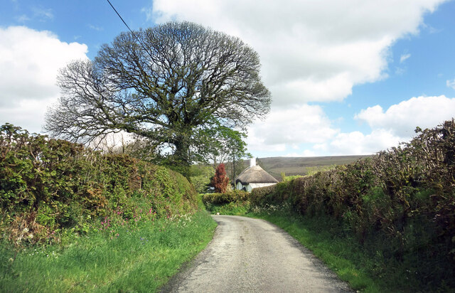
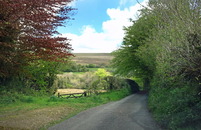
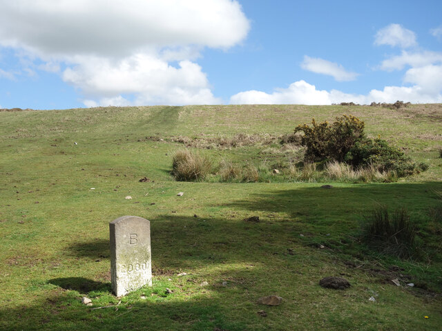
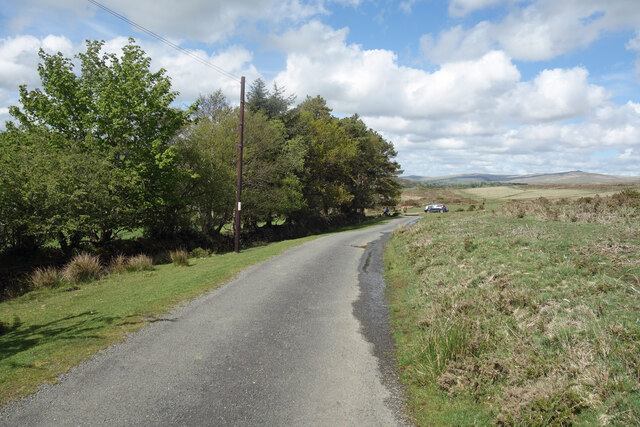
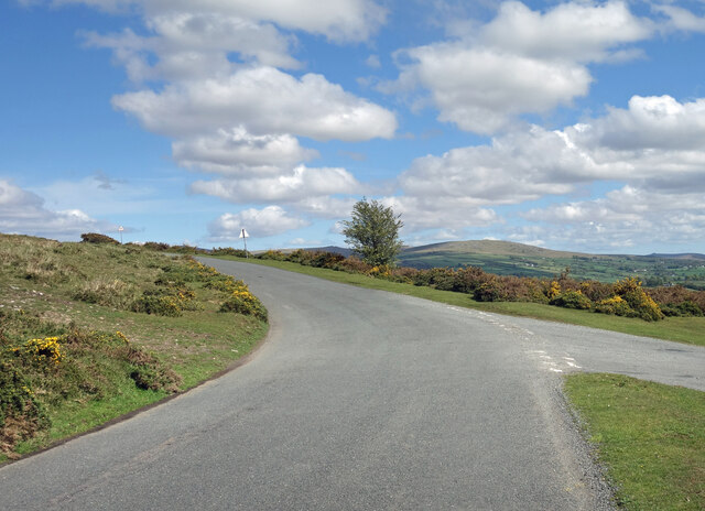
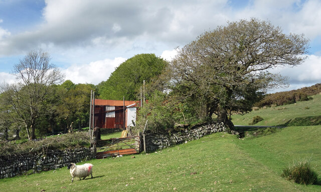
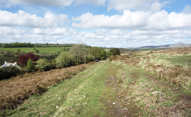
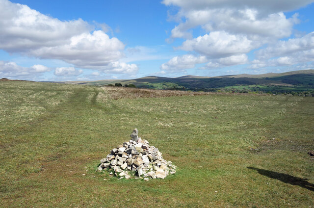
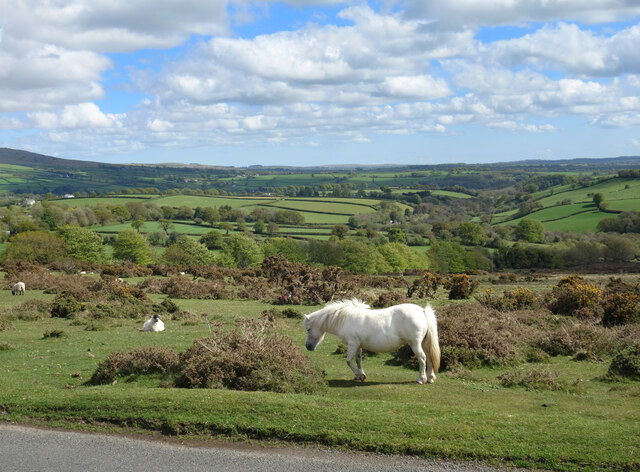
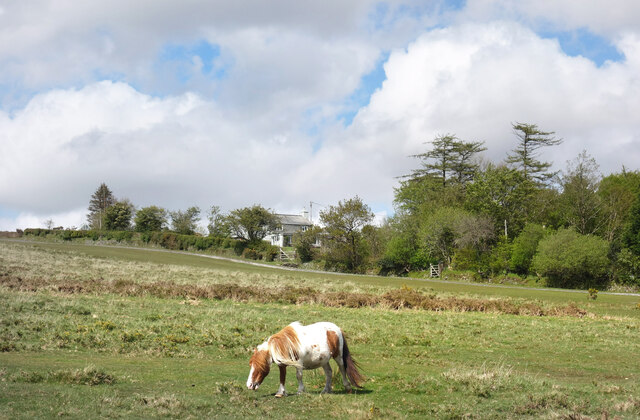
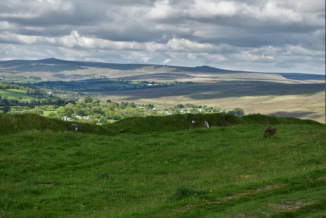
The village of Mary Tavy itself is located on the eastern edge of Dartmoor, surrounded by stunning natural landscapes. The River Tavy flows through the village, adding to its picturesque charm. The area is known for its rugged moorland, granite tors, and beautiful countryside, making it a popular destination for outdoor enthusiasts, hikers, and nature lovers.
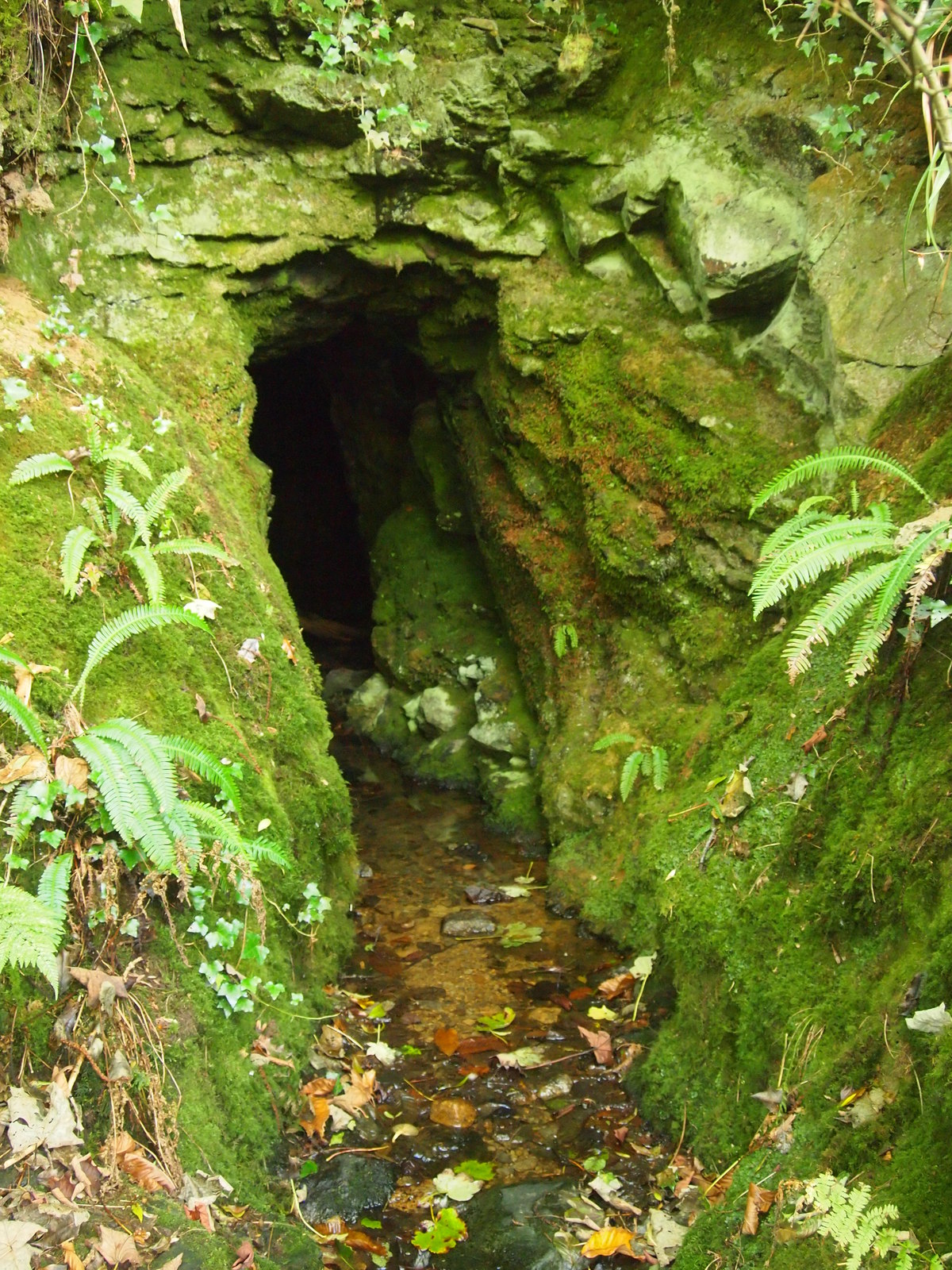
The village has a rich history, with evidence of human habitation dating back to the Bronze Age. It was an important center for mining during the 19th century, particularly for the extraction of copper and tin. The remnants of the mining industry can still be seen in the form of old mine buildings and ruins scattered throughout the area.
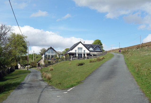
Today, Mary Tavy is a thriving community with a range of amenities and services. It has a primary school, a village hall, a church, and several local businesses, including a pub and a post office. The village retains a strong sense of community spirit, with various events and activities organized throughout the year.
In summary, Mary Tavy is a charming civil parish located in the stunning Dartmoor National Park. With its rich history, natural beauty, and strong community, it offers a peaceful and idyllic place to live or visit.
If you have any feedback on the listing, please let us know in the comments section below.
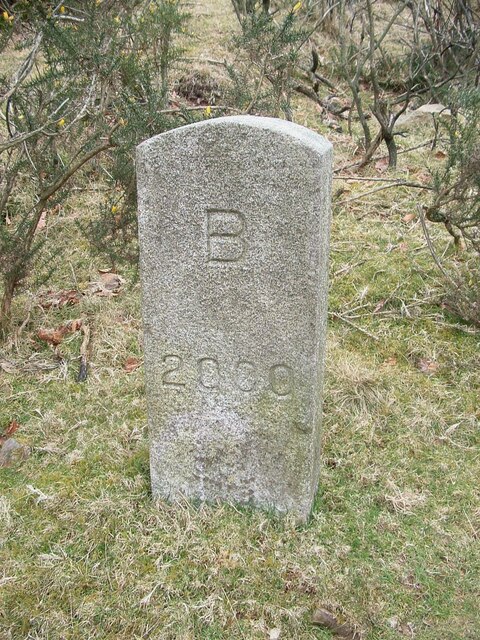
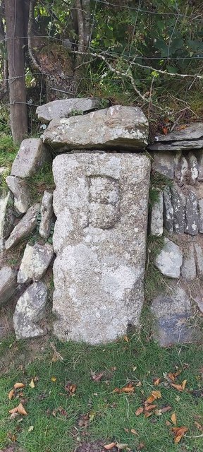
Mary Tavy Images
Images are sourced within 2km of 50.601523/-4.131434 or Grid Reference SX4980. Thanks to Geograph Open Source API. All images are credited.
Mary Tavy is located at Grid Ref: SX4980 (Lat: 50.601523, Lng: -4.131434)
Administrative County: Devon
District: West Devon
Police Authority: Devon & Cornwall
What 3 Words
///important.continues.anode. Near Tavistock, Devon
Nearby Locations
Related Wikis

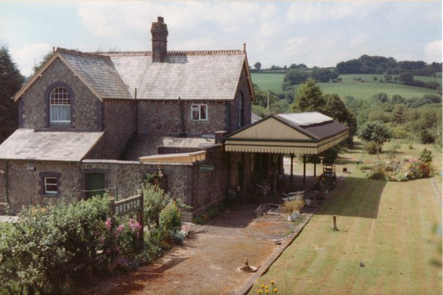
Brentor railway station
Brentor railway station used to serve the village of Brentor in Devon, England. It was on the Plymouth, Devonport and South Western Junction Railway's...

Mary Tavy
Mary Tavy () is a village with a population of around 600, located four miles north of Tavistock in Devon in south-west England; it is named after the...
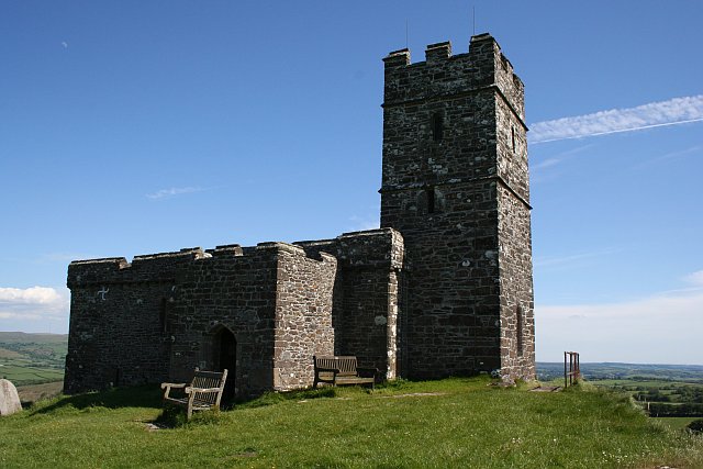
Brentor
Brentor is a village in West Devon, England. Its population in 2001 was 423. The village is dominated by the hill of Brent Tor, topped by the village's...

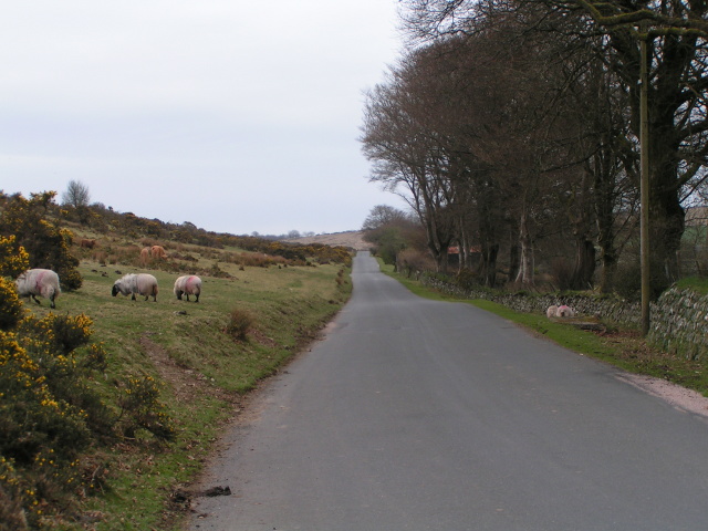
Brent Tor
Brent Tor is a tor on the western edge of Dartmoor, approximately four miles (6.5 km) north of Tavistock, rising to 1100 ft (330m) above sea level. The...
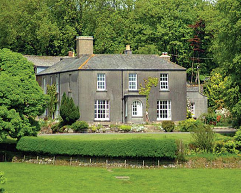
Burnville House, Brentor
Burnville House (or Farm) in Brentor, West Devon, England, is a building of historical significance and is Grade II listed on the English Heritage Register...

Lydford railway station
Lydford railway station was a junction at Lydford between the Great Western Railway (GWR) and London and South Western Railway (LSWR) situated in a remote...
Devon United Mine
Devon United Mine (grid reference SX521795) is a 1.0 hectare geological Site of Special Scientific Interest in Devon, England, notified in 1987. ��2�...

Cudlipptown
Cudlipptown or Cudliptown is a small village located near the western edge of Dartmoor National Park, northeast of Tavistock, and approximately one mile...
Nearby Amenities
Located within 500m of 50.601523,-4.131434Have you been to Mary Tavy?
Leave your review of Mary Tavy below (or comments, questions and feedback).