Peter Tavy
Civil Parish in Devon West Devon
England
Peter Tavy
Peter Tavy is a civil parish located in the county of Devon, England. Situated within the Dartmoor National Park, it is a rural area known for its natural beauty and tranquil surroundings. The parish covers an area of approximately 8 square kilometers and is home to a small population of around 400 residents.
The village of Peter Tavy is the main settlement within the parish. It is a picturesque village with charming traditional cottages and a historic church, St. Peter's Church, which dates back to the 13th century. The church is known for its beautiful stained glass windows and is a significant landmark in the area.
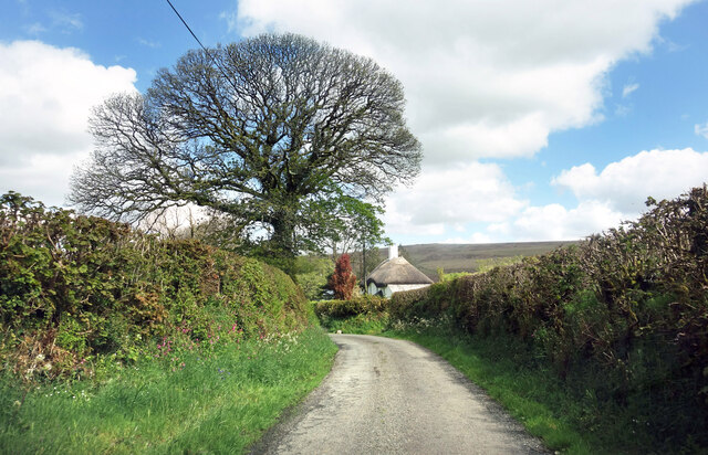
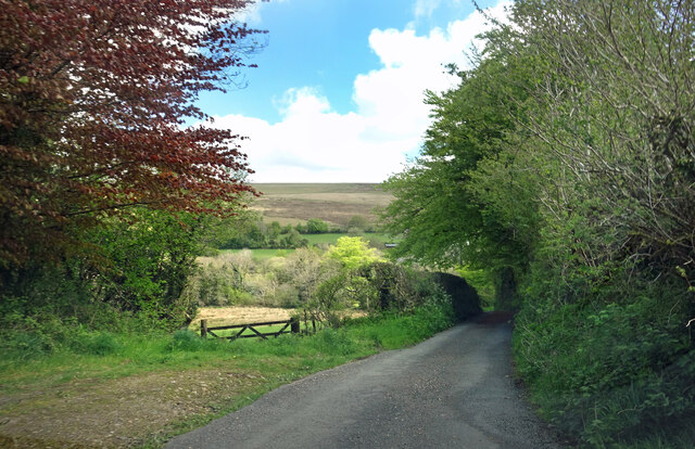
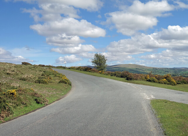
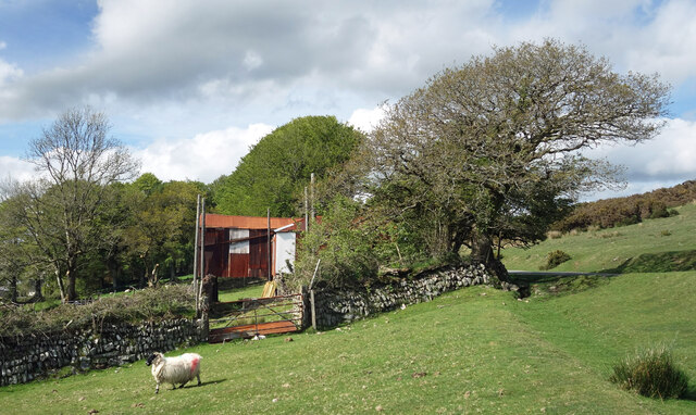
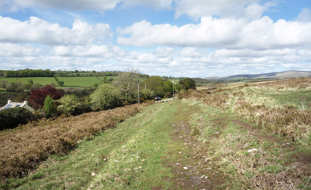
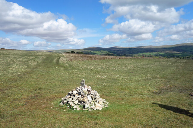
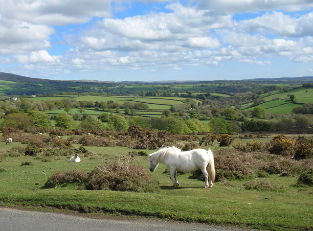
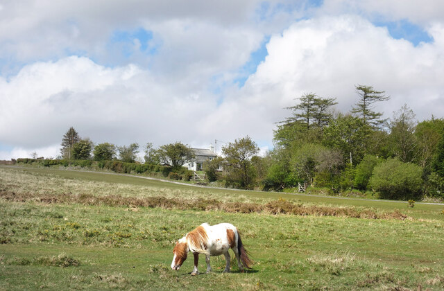
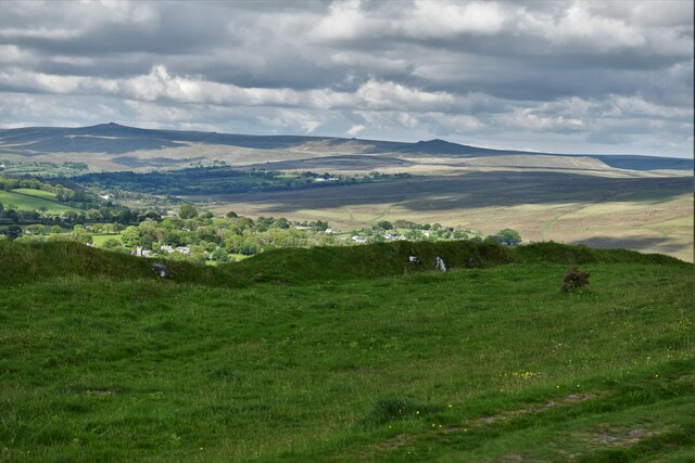
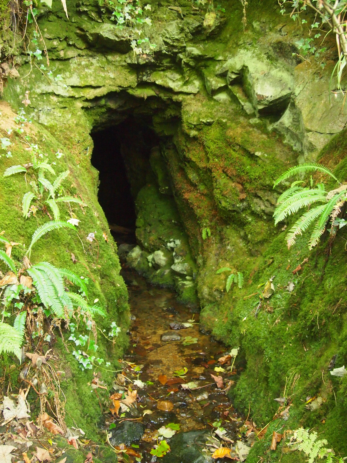
The landscape of Peter Tavy is characterized by rolling hills, meandering rivers, and vast expanses of moorland. The area is a haven for outdoor enthusiasts, with numerous walking and cycling trails that offer stunning views of the surrounding countryside. Many visitors come to Peter Tavy to explore the Dartmoor National Park, which is known for its rugged beauty and rich wildlife.
In terms of amenities, Peter Tavy has a village hall that serves as a community hub and hosts various events and activities throughout the year. There is also a primary school in the village, providing education to local children.
Overall, Peter Tavy is a peaceful and idyllic parish that offers a rural retreat for residents and visitors alike. Its natural beauty and close proximity to Dartmoor National Park make it a popular destination for those seeking a peaceful escape in the heart of Devon.
If you have any feedback on the listing, please let us know in the comments section below.
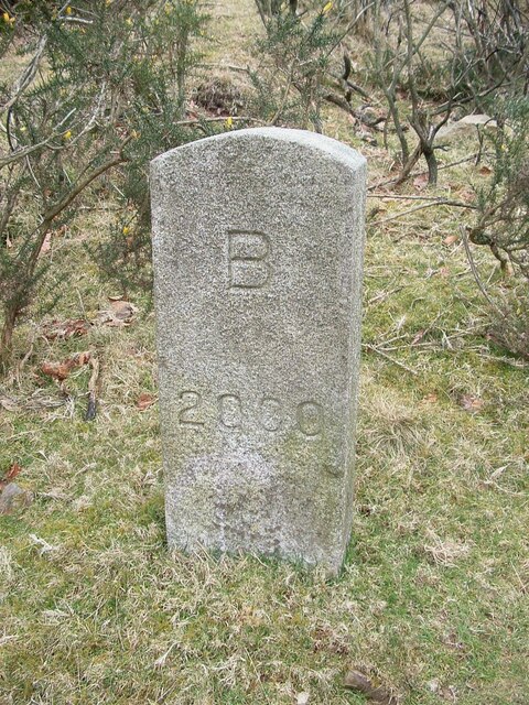
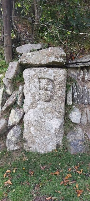
Peter Tavy Images
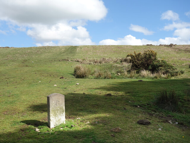
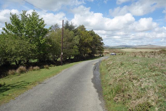
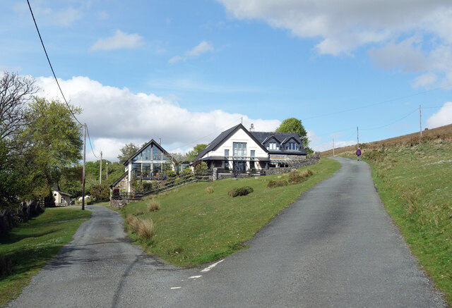
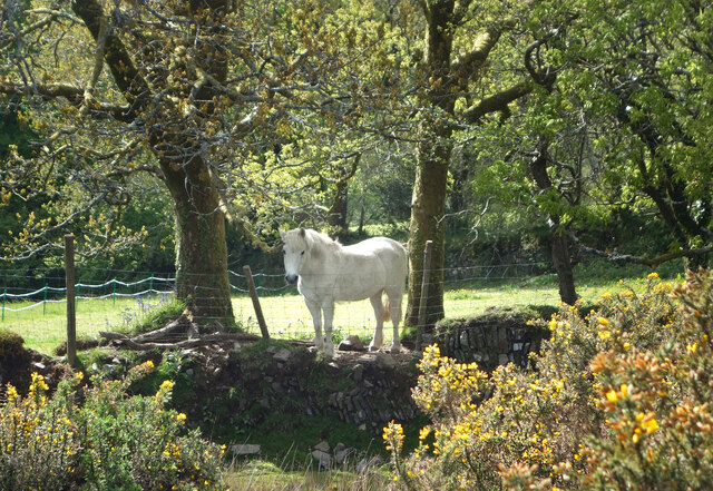
Images are sourced within 2km of 50.604192/-4.124685 or Grid Reference SX4980. Thanks to Geograph Open Source API. All images are credited.
Peter Tavy is located at Grid Ref: SX4980 (Lat: 50.604192, Lng: -4.124685)
Administrative County: Devon
District: West Devon
Police Authority: Devon & Cornwall
What 3 Words
///cabs.annoys.erase. Near Tavistock, Devon
Nearby Locations
Related Wikis

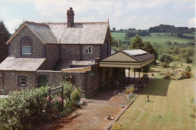
Brentor railway station
Brentor railway station used to serve the village of Brentor in Devon, England. It was on the Plymouth, Devonport and South Western Junction Railway's...

Mary Tavy
Mary Tavy () is a village with a population of around 600, located four miles north of Tavistock in Devon in south-west England; it is named after the...
Brentor
Brentor is a village in West Devon, England. Its population in 2001 was 423. The village is dominated by the hill of Brent Tor, topped by the village's...
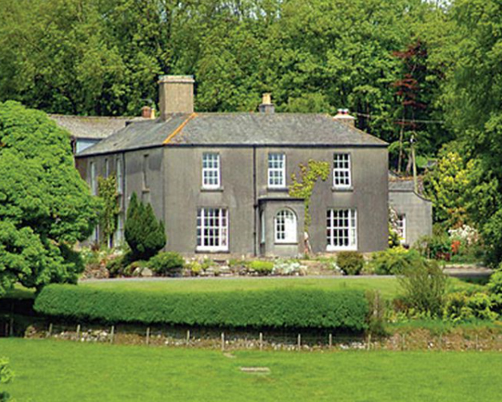
Burnville House, Brentor
Burnville House (or Farm) in Brentor, West Devon, England, is a building of historical significance and is Grade II listed on the English Heritage Register...

Lydford railway station
Lydford railway station was a junction at Lydford between the Great Western Railway (GWR) and London and South Western Railway (LSWR) situated in a remote...

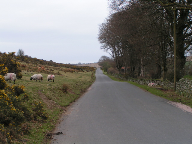
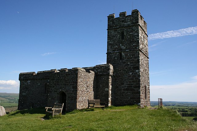
Brent Tor
Brent Tor is a tor on the western edge of Dartmoor, approximately four miles (6.5 km) north of Tavistock, rising to 1100 ft (330m) above sea level. The...
Devon United Mine
Devon United Mine (grid reference SX521795) is a 1.0 hectare geological Site of Special Scientific Interest in Devon, England, notified in 1987. ��2�...

Cudlipptown
Cudlipptown or Cudliptown is a small village located near the western edge of Dartmoor National Park, northeast of Tavistock, and approximately one mile...
Nearby Amenities
Located within 500m of 50.604192,-4.124685Have you been to Peter Tavy?
Leave your review of Peter Tavy below (or comments, questions and feedback).