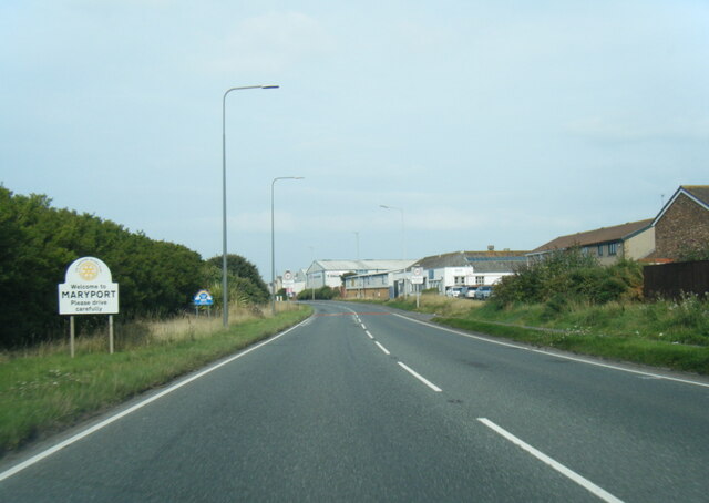
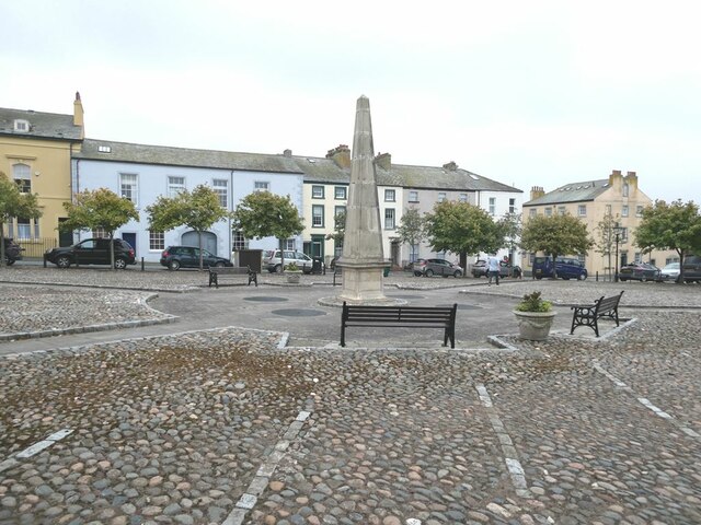
Maryport
Civil Parish in Cumberland Allerdale
England
Maryport
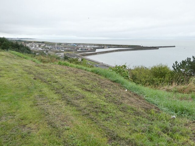
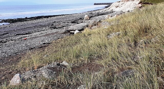
Maryport is a civil parish located in the county of Cumberland in northwestern England. Situated on the Solway Firth coast, the town of Maryport has a rich history dating back to Roman times when it was known as Alauna. The town was an important port and served as a key trading hub for the region.
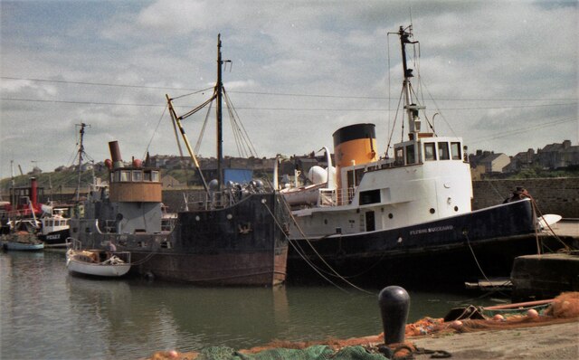
Today, Maryport is a charming coastal town with a population of around 12,000 residents. The town is known for its picturesque harbor, sandy beaches, and stunning views of the Cumbrian coastline. Maryport is also home to a variety of shops, restaurants, and pubs, as well as a number of historic buildings and landmarks.
In addition to its natural beauty and historic charm, Maryport is also a popular destination for outdoor enthusiasts, with opportunities for hiking, cycling, and water sports in the surrounding area. The town also hosts a number of events and festivals throughout the year, including the Maryport Blues Festival and the Maryport Maritime Festival. Overall, Maryport offers a mix of history, culture, and natural beauty, making it a delightful place to visit or call home in the county of Cumberland.
If you have any feedback on the listing, please let us know in the comments section below.
Maryport Images
Images are sourced within 2km of 54.701119/-3.498493 or Grid Reference NY0335. Thanks to Geograph Open Source API. All images are credited.


Maryport is located at Grid Ref: NY0335 (Lat: 54.701119, Lng: -3.498493)
Administrative County: Cumbria
District: Allerdale
Police Authority: Cumbria
What 3 Words
///sweetly.pigtails.chucks. Near Maryport, Cumbria
Nearby Locations
Related Wikis

Ewanrigg
Ewanrigg is a suburb of the town of Maryport, Cumbria, England, historically within Cumberland. Ewanrigg is a residential area and has a post office, a...

Milefortlet 25
Milefortlet 25 was a Milefortlet of the Roman Cumbrian Coast defences. These milefortlets and intervening stone watchtowers extended from the western end...

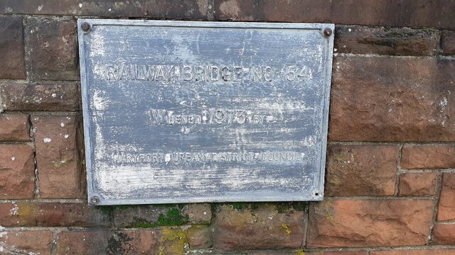
Maryport railway station
Maryport railway station is a railway station serving the coastal town of Maryport in Cumbria, England. It is on the Cumbrian Coast Line, which runs between...

Maryport
Maryport is a town and civil parish in Cumbria, England. The town is situated just outside the Lake District National Park, at the northern end of the...
Nearby Amenities
Located within 500m of 54.701119,-3.498493Have you been to Maryport?
Leave your review of Maryport below (or comments, questions and feedback).