Marwood
Civil Parish in Devon North Devon
England
Marwood
Marwood is a civil parish located in the county of Devon, England. Situated in the North Devon district, it is surrounded by picturesque countryside and is approximately 4 miles northwest of the town of Barnstaple. The parish covers an area of around 7 square miles and is home to a population of about 400 residents.
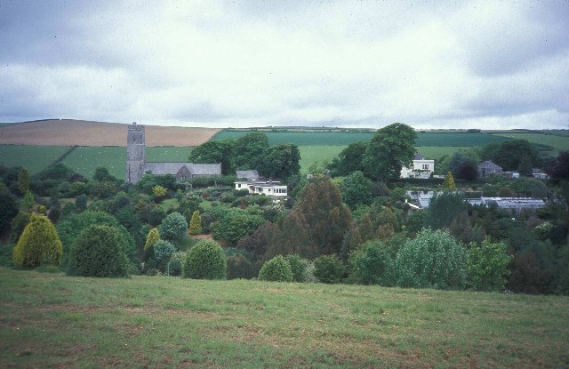
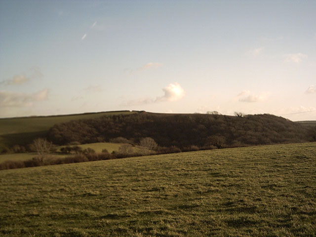
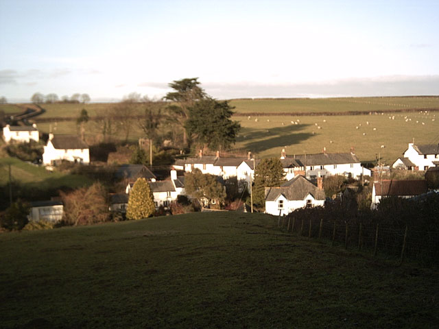
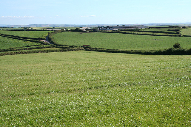
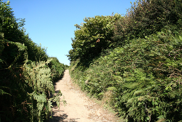
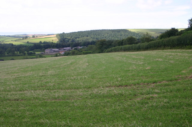
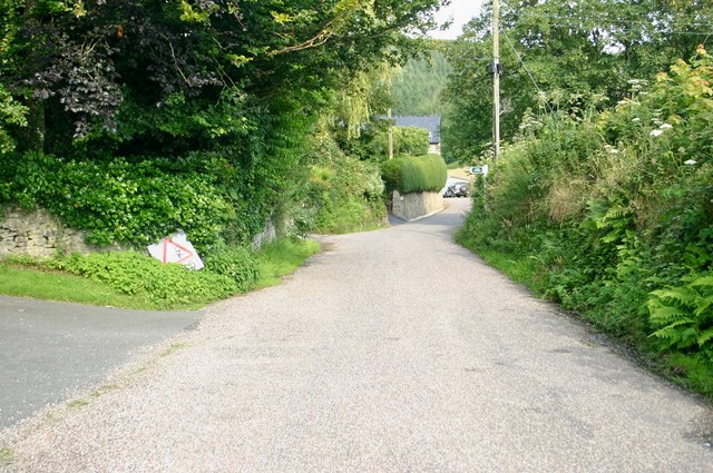
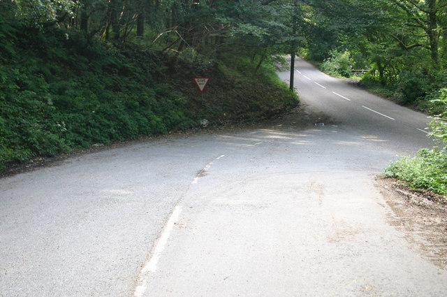
The landscape of Marwood is characterized by rolling hills, lush green fields, and beautiful woodlands. It offers stunning views of the surrounding countryside and is known for its tranquil and idyllic setting. The area is rich in natural beauty, with numerous walking trails and footpaths that allow visitors to explore its scenic surroundings.
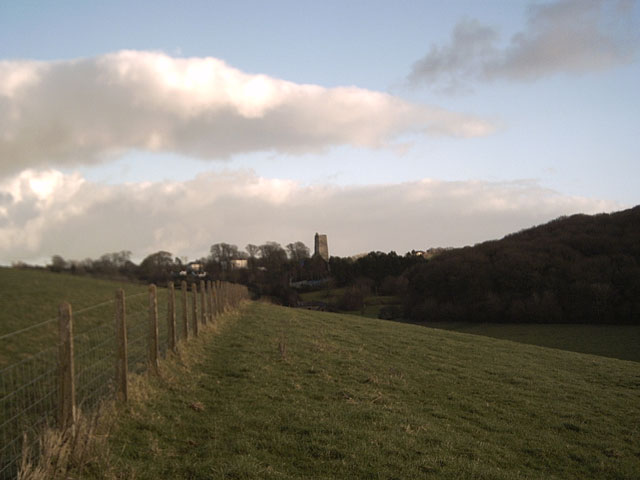
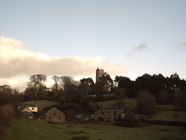
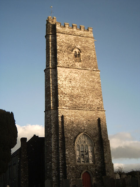
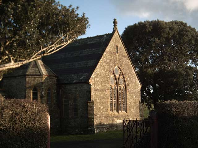
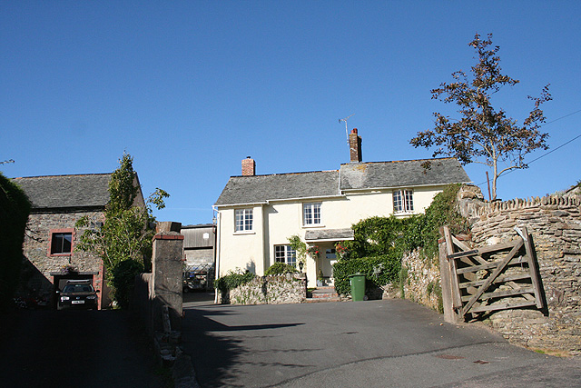
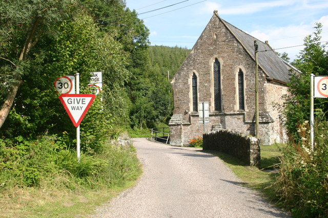
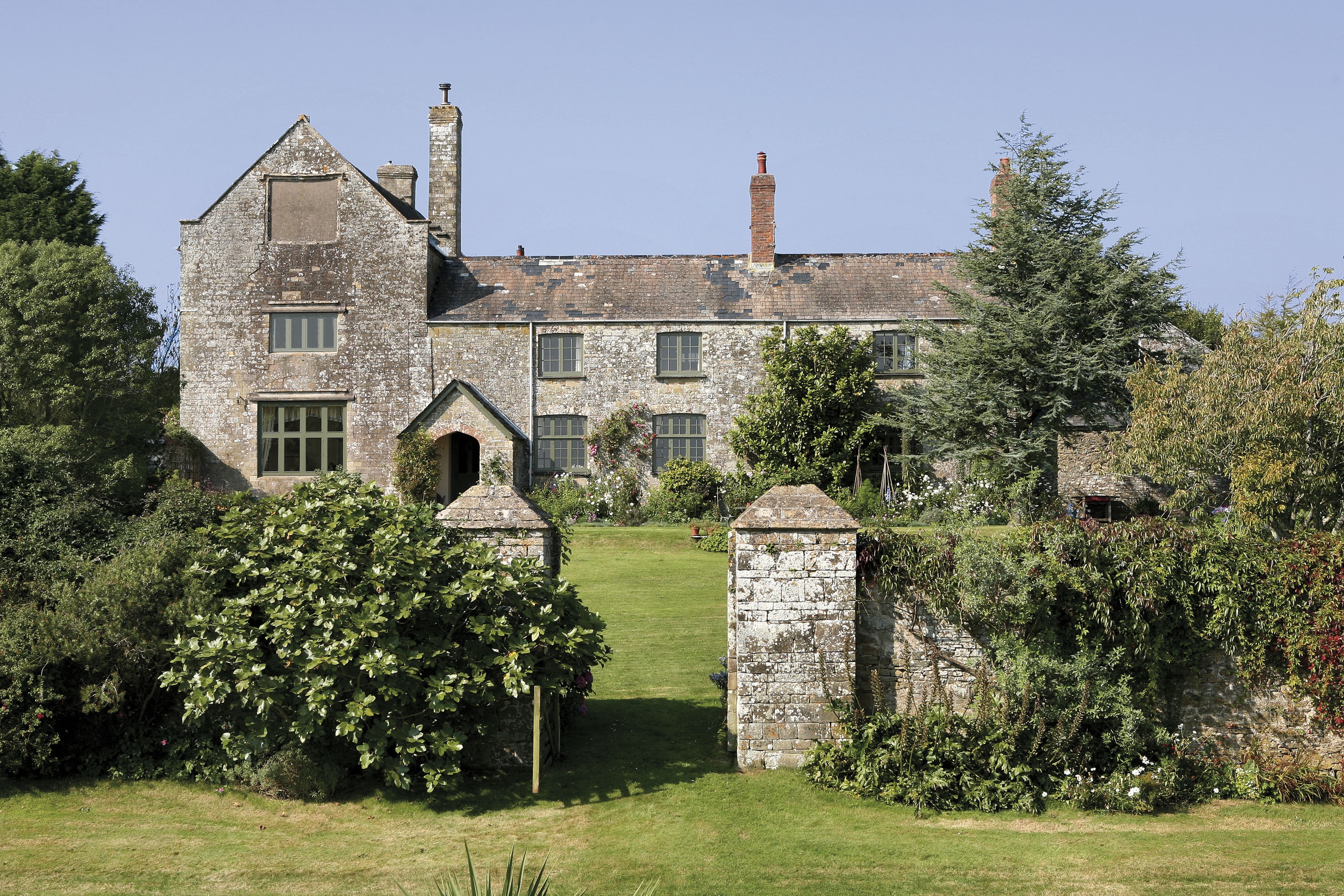
The heart of Marwood hosts a small but charming village, with a handful of traditional stone houses and a parish church dating back to the 14th century. The church, dedicated to St. Michael and All Angels, is a notable feature of the area and attracts visitors interested in its architectural and historical significance.
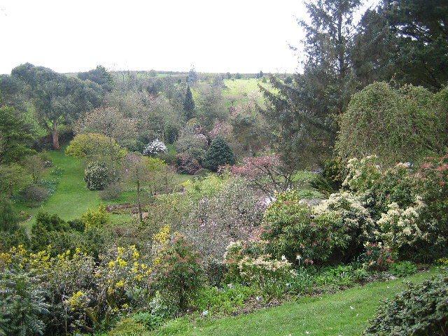
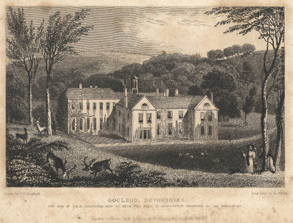
Marwood is also famous for its historic estate, Marwood Hill Gardens. Spanning around 20 acres, the gardens are renowned for their stunning collection of plants, including rare and exotic species. Visitors can enjoy meandering through the various themed gardens, relaxing by the lakes, and indulging in homemade refreshments at the on-site tea room.
Overall, Marwood is a delightful rural parish that offers a peaceful and scenic retreat for both residents and visitors, with its charming village, picturesque landscapes, and renowned gardens.
If you have any feedback on the listing, please let us know in the comments section below.
Marwood Images
Images are sourced within 2km of 51.131436/-4.0728 or Grid Reference SS5538. Thanks to Geograph Open Source API. All images are credited.


Marwood is located at Grid Ref: SS5538 (Lat: 51.131436, Lng: -4.0728)
Administrative County: Devon
District: North Devon
Police Authority: Devon & Cornwall
What 3 Words
///womb.enough.classmate. Near Barnstaple, Devon
Nearby Locations
Related Wikis

Marwood, Devon
Marwood is a village in North Devon 3.5 miles (5.6 km) north of Barnstaple. The village contains 20 acres (81,000 m2) of ornamental gardens open to the...

Bittadon
Bittadon is a civil parish and former manor in the North Devon district of Devon, England. According to the 2001 census the parish had a population of...
Youlston Park
Youlston Park, also known as Youlston House, is a privately-owned 17th-century mansion house situated at Shirwell, near Barnstaple, North Devon, England...

Tutshill Wood
Tutshill Wood is a wood in Devon, England, situated on the northern edge of Barnstaple, at the east end of a flat-topped ridge that runs from west to east...
Pilton West
Pilton West is a rural civil parish of North Devon, Devon, England, immediately north-west of the suburb of Pilton in the town of Barnstaple. The parish...
Ash, Braunton
Ash in the parish of Braunton in North Devon is a historic estate listed in the Domesday Book. The present mansion, known as The Ash Barton estate is a...

Manor of Raleigh, Pilton
The historic manor of Raleigh, near Barnstaple and in the parish of Pilton, North Devon, England, was the first recorded home in the 14th century of the...

West Down
West Down is a small village and civil parish located in North Devon, England. It is to be found on the route between Braunton and Ilfracombe, 9 miles...
Nearby Amenities
Located within 500m of 51.131436,-4.0728Have you been to Marwood?
Leave your review of Marwood below (or comments, questions and feedback).