Broomsthorpe
Settlement in Norfolk King's Lynn and West Norfolk
England
Broomsthorpe

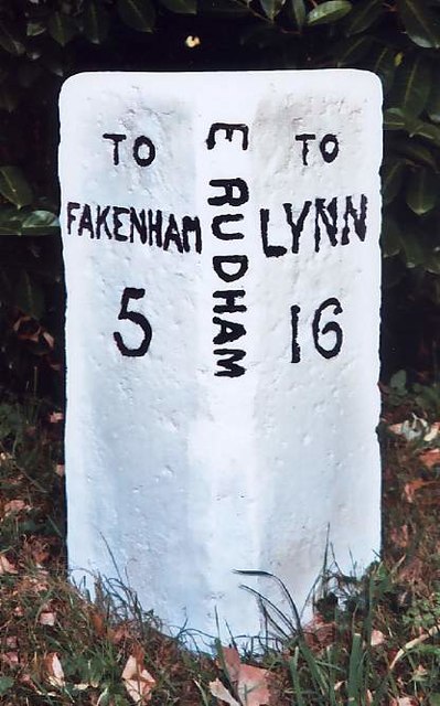
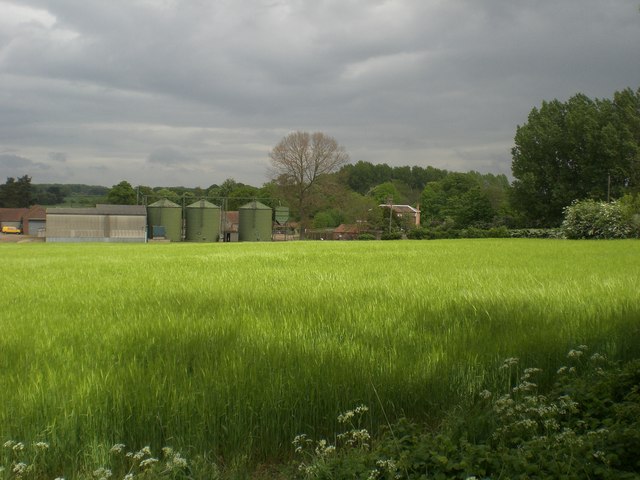
Broomsthorpe is a small village located in the county of Norfolk, England. Situated approximately 2 miles southwest of the town of Fakenham, it is nestled in the picturesque countryside of the North Norfolk District. The village is known for its tranquil and idyllic setting, attracting visitors who seek a peaceful retreat away from the hustle and bustle of city life.
With a population of around 200 residents, Broomsthorpe exudes a strong sense of community and charm. The village is characterized by its traditional Norfolk architecture, with many quaint cottages and farmhouses dotting the landscape. The surrounding fields and meadows offer scenic views and provide ample opportunities for walking and exploring nature.
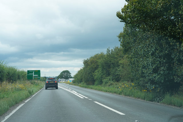
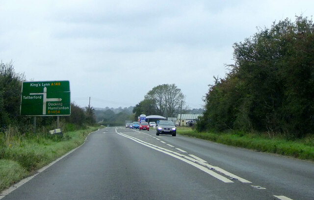
While Broomsthorpe may be small, it benefits from its close proximity to nearby amenities. The bustling market town of Fakenham offers a range of shops, restaurants, and services, ensuring that residents have access to all necessary amenities. Additionally, the village is within easy reach of the stunning North Norfolk coastline, which boasts beautiful sandy beaches and picturesque coastal towns such as Wells-next-the-Sea and Blakeney.
Broomsthorpe is also steeped in history, with the Grade II listed All Saints Church dating back to the 14th century. The church is a notable feature of the village and adds to its historic charm.
In summary, Broomsthorpe is a delightful village in Norfolk that offers a peaceful and scenic setting for residents and visitors alike. With its strong sense of community, traditional architecture, and access to nearby amenities, it is a place that captures the essence of rural England.
If you have any feedback on the listing, please let us know in the comments section below.
Broomsthorpe Images
Images are sourced within 2km of 52.821225/0.741758 or Grid Reference TF8428. Thanks to Geograph Open Source API. All images are credited.


Broomsthorpe is located at Grid Ref: TF8428 (Lat: 52.821225, Lng: 0.741758)
Administrative County: Norfolk
District: King's Lynn and West Norfolk
Police Authority: Norfolk
What 3 Words
///future.divorcing.figure. Near Fakenham, Norfolk
Nearby Locations
Related Wikis
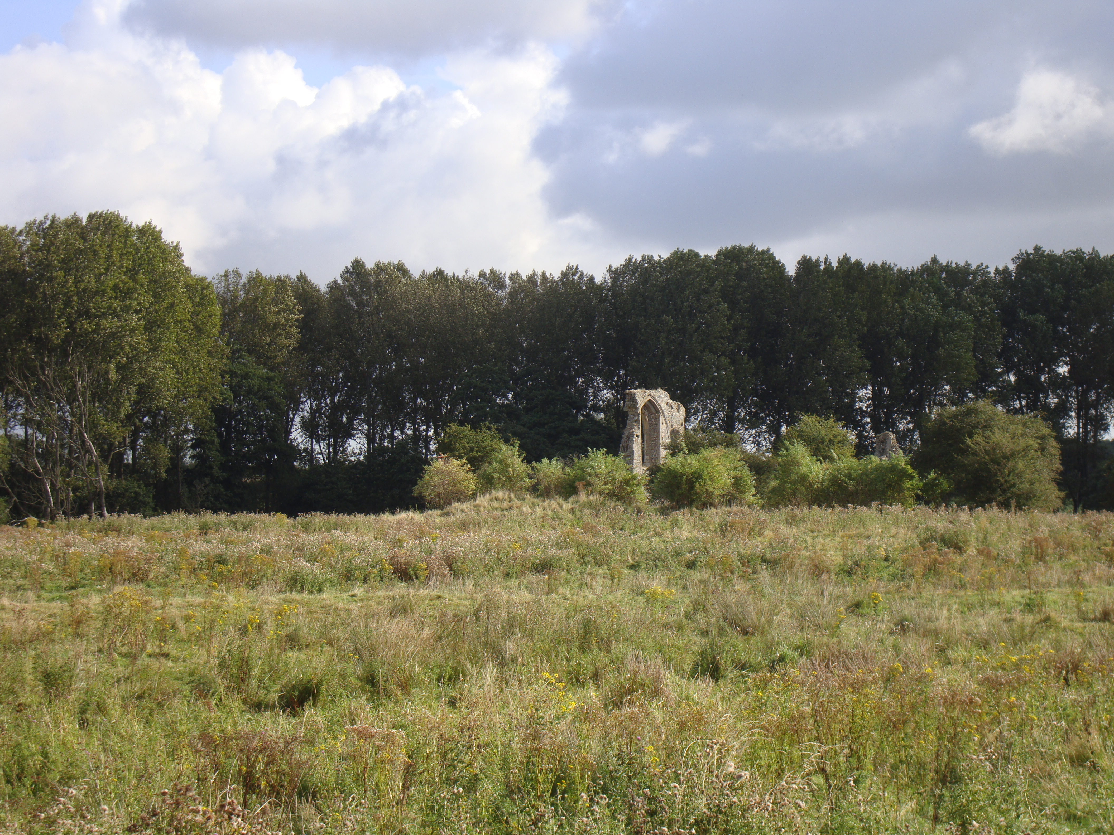
Coxford Priory
Coxford Priory or Broomsthorpe Priory was a monastic house in Norfolk, England. An Augustinian Canons Regular establishment, initially founded around 1140...

Tattersett
Tattersett is a village and civil parish in the English county of Norfolk. It covers an area of 11.38 square kilometres (4.39 square miles), and had a...

Tatterford
Tatterford is a village and former civil parish, now in the parish of Tattersett, in the North Norfolk district, in the county of Norfolk, England. The...
Broomsthorpe
Broomsthorpe is a place and former civil parish, now in the parish of East Rudham, in the King's Lynn and West Norfolk district, in the English county...

Raynham Park railway station
Raynham Park railway station was a station in Norfolk, England. It was opened in the 19th century as part of the Midland and Great Northern Joint Railway...
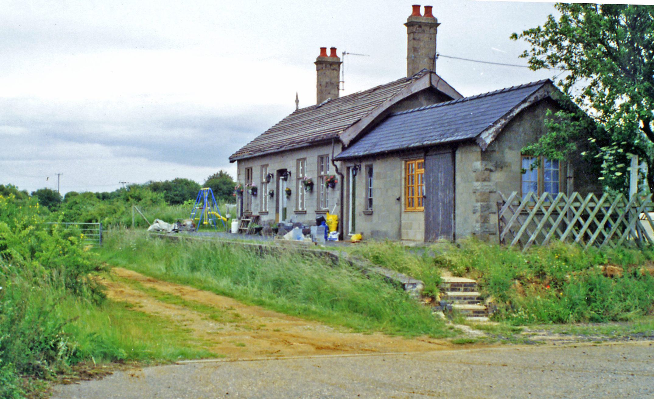
East Rudham railway station
East Rudham railway station is a former station in East Rudham, Norfolk. It opened in 1880 and closed in 1959. It was on the Midland and Great Northern...
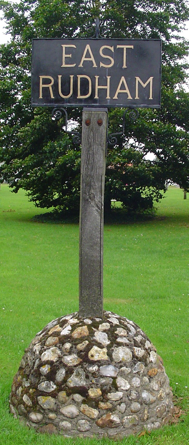
East Rudham
East Rudham is a village and civil parish in the English county of Norfolk. The village is located 14 miles (23 km) north-east of King's Lynn and 28 miles...

Helhoughton
Helhoughton is a village and civil parish in Norfolk, England. It is 4.2 miles (6.8 km) west-south-west of the town of Fakenham, 29.3 miles (47.2 km) west...
Nearby Amenities
Located within 500m of 52.821225,0.741758Have you been to Broomsthorpe?
Leave your review of Broomsthorpe below (or comments, questions and feedback).