Whin Carr
Wood, Forest in Norfolk King's Lynn and West Norfolk
England
Whin Carr

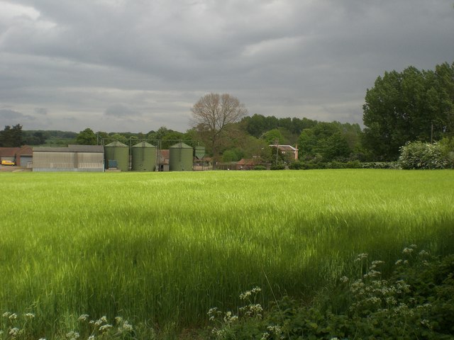
Whin Carr, Norfolk is a picturesque woodland area located in eastern England. Known for its serene beauty and diverse wildlife, Whin Carr is a haven for nature enthusiasts and those seeking a peaceful retreat.
The forest covers an expansive area, encompassing a variety of tree species, including oak, beech, and pine. These towering trees create a dense canopy, allowing for a cool and shady atmosphere even on the warmest of days. The forest floor is adorned with a rich carpet of moss, wildflowers, and ferns, adding to the area's enchanting charm.
Whin Carr is home to a wide range of wildlife, making it a popular destination for birdwatchers and animal lovers. The forest provides a habitat for numerous species, such as deer, foxes, badgers, and various bird species, including woodpeckers and owls. The tranquil setting of the forest makes it an ideal spot for observing these creatures in their natural environment.
Visitors to Whin Carr can enjoy a variety of activities, including hiking, cycling, and picnicking. There are well-maintained trails that wind through the forest, offering opportunities to explore its hidden corners and discover its beauty. The forest also features picnic areas, where visitors can relax and enjoy a meal surrounded by nature.
Overall, Whin Carr, Norfolk is a captivating woodland retreat that offers a peaceful escape from the hustle and bustle of everyday life. With its stunning scenery, diverse wildlife, and recreational activities, it is a destination that appeals to both nature lovers and outdoor enthusiasts.
If you have any feedback on the listing, please let us know in the comments section below.
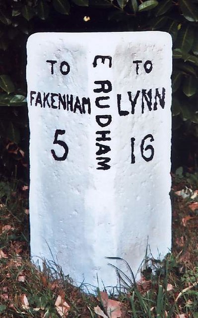
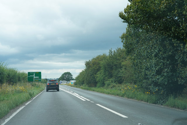
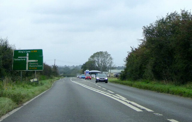
Whin Carr Images
Images are sourced within 2km of 52.82379/0.7397644 or Grid Reference TF8428. Thanks to Geograph Open Source API. All images are credited.


Whin Carr is located at Grid Ref: TF8428 (Lat: 52.82379, Lng: 0.7397644)
Administrative County: Norfolk
District: King's Lynn and West Norfolk
Police Authority: Norfolk
What 3 Words
///create.amended.remission. Near Fakenham, Norfolk
Nearby Locations
Related Wikis
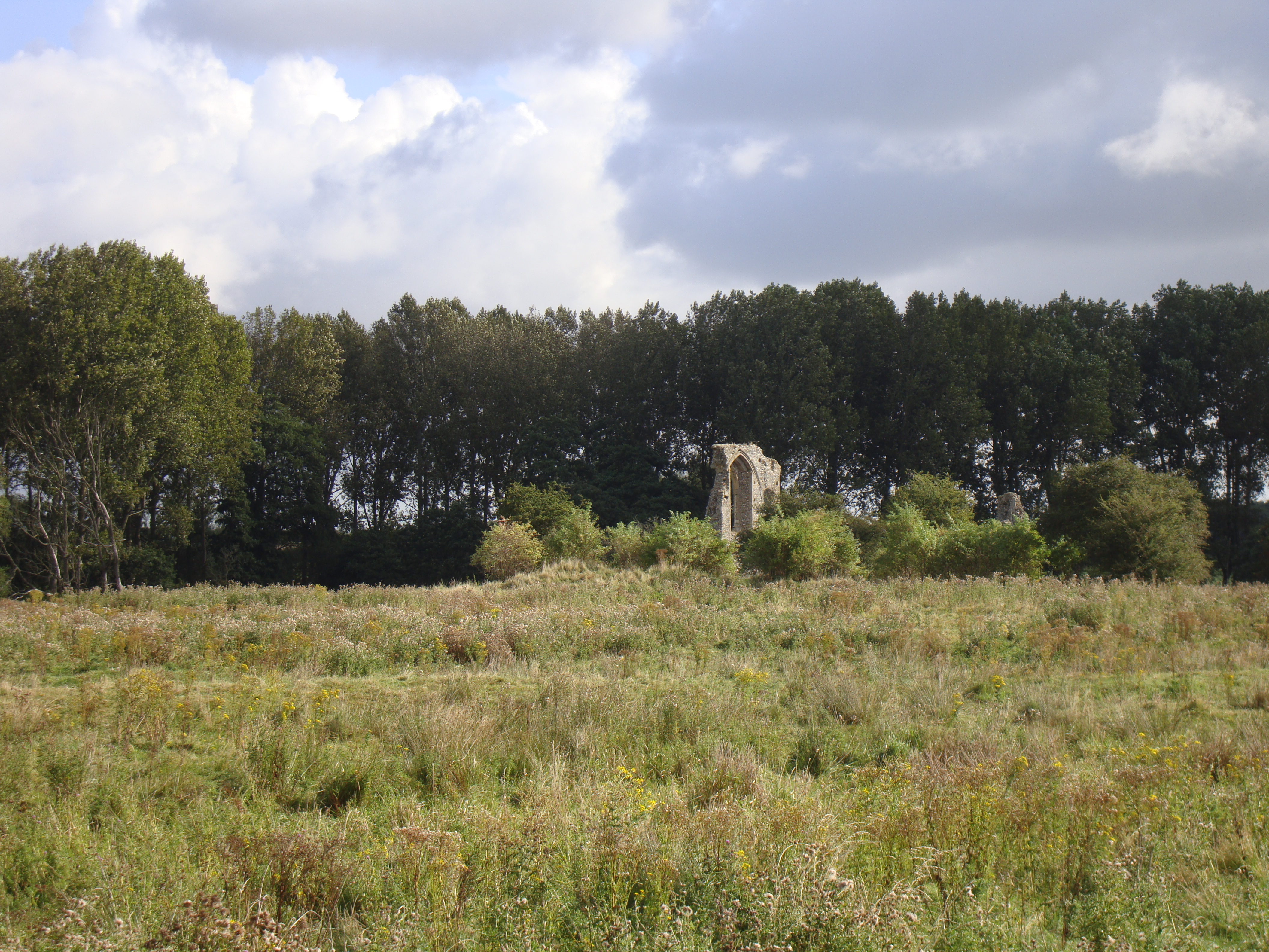
Coxford Priory
Coxford Priory or Broomsthorpe Priory was a monastic house in Norfolk, England. An Augustinian Canons Regular establishment, initially founded around 1140...

Tattersett
Tattersett is a village and civil parish in the English county of Norfolk. It covers an area of 11.38 square kilometres (4.39 square miles), and had a...

Tatterford
Tatterford is a village and former civil parish, now in the parish of Tattersett, in the North Norfolk district, in the county of Norfolk, England. The...
Broomsthorpe
Broomsthorpe is a place and former civil parish, now in the parish of East Rudham, in the King's Lynn and West Norfolk district, in the English county...
Nearby Amenities
Located within 500m of 52.82379,0.7397644Have you been to Whin Carr?
Leave your review of Whin Carr below (or comments, questions and feedback).