Broomy Hill

Settlement in Herefordshire

England

Broomy Hill

Houses on Three Elms Road, Hereford
Houses on Three Elms Road, Hereford Credit: Eirian Evans

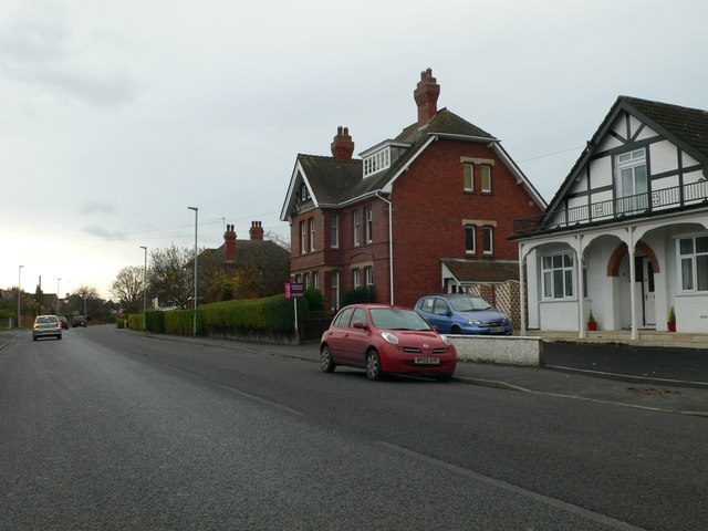
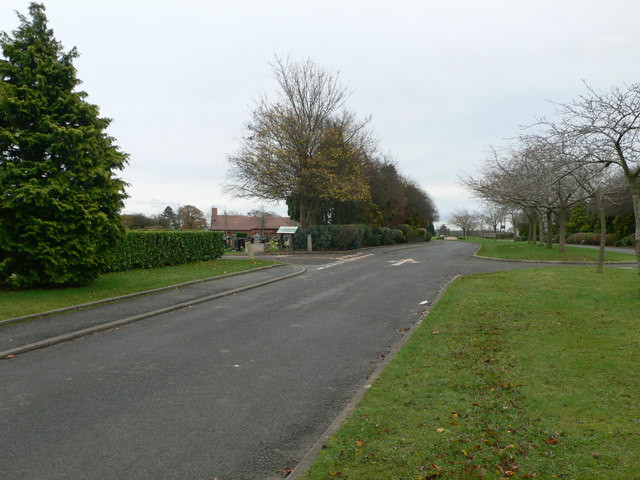
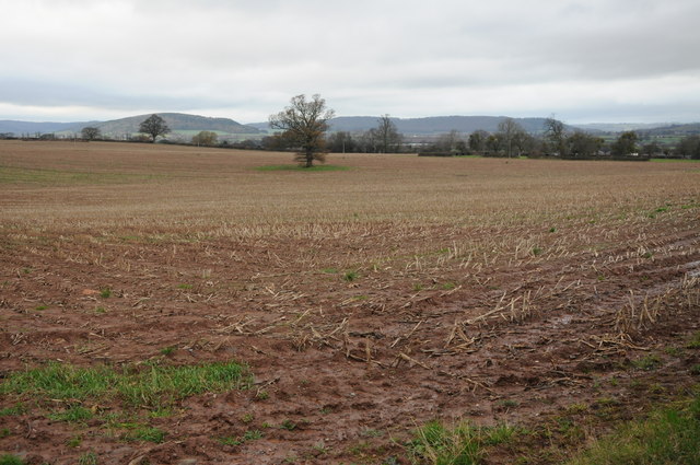
Broomy Hill is a picturesque village located in the county of Herefordshire, England. Situated on the eastern banks of the River Wye, it is part of the Herefordshire Council administrative area. Broomy Hill is nestled amidst the scenic countryside, surrounded by rolling hills and lush green fields.

The village is renowned for its natural beauty and tranquility, attracting visitors who seek solace in its idyllic surroundings. The River Wye runs alongside Broomy Hill, providing a stunning backdrop and offering opportunities for leisure activities such as fishing, boating, and riverside walks.

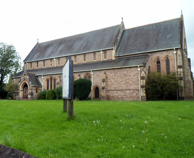
Broomy Hill is characterized by its charming traditional architecture, with many historic buildings still standing, dating back several centuries. The village church, St. Mary's, is a notable landmark, featuring exquisite stained glass windows and impressive architectural details.

A sense of community thrives in Broomy Hill, with a close-knit population that values its heritage and fosters a welcoming atmosphere. The village is home to a number of local amenities, including a village hall, a primary school, and a few shops catering to basic needs. Residents also have easy access to nearby towns and cities, as well as excellent transport links.

The natural beauty and peaceful ambiance of Broomy Hill make it an ideal destination for those seeking a break from the hustle and bustle of city life. Visitors can enjoy the stunning scenery, explore the local heritage, and immerse themselves in the tranquility of this enchanting village in Herefordshire.

If you have any feedback on the listing, please let us know in the comments section below.
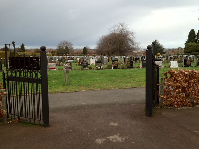
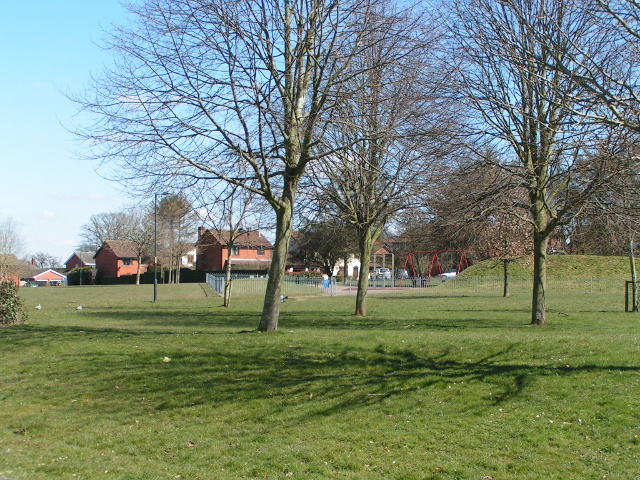
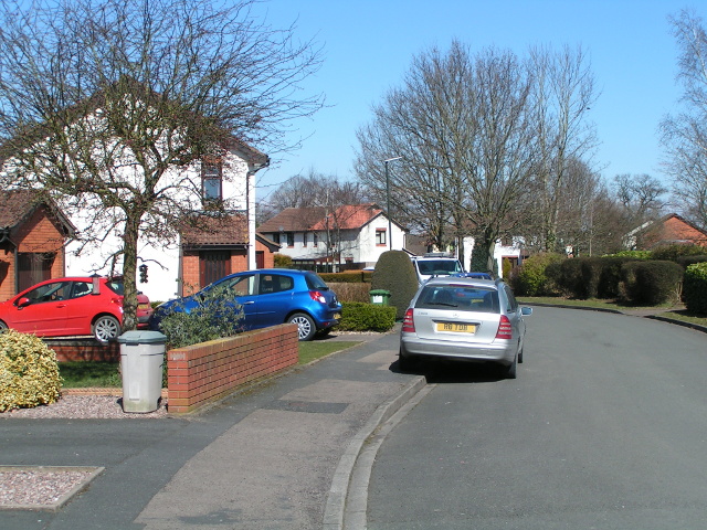
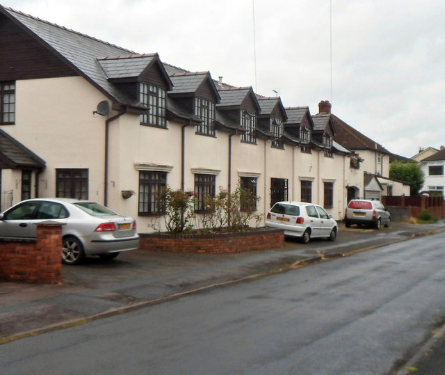
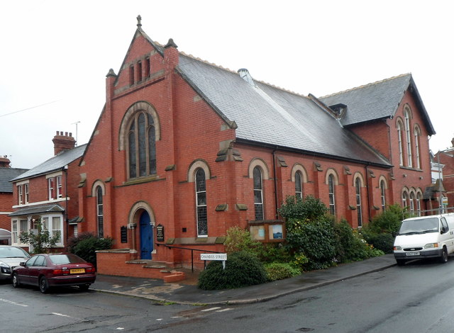
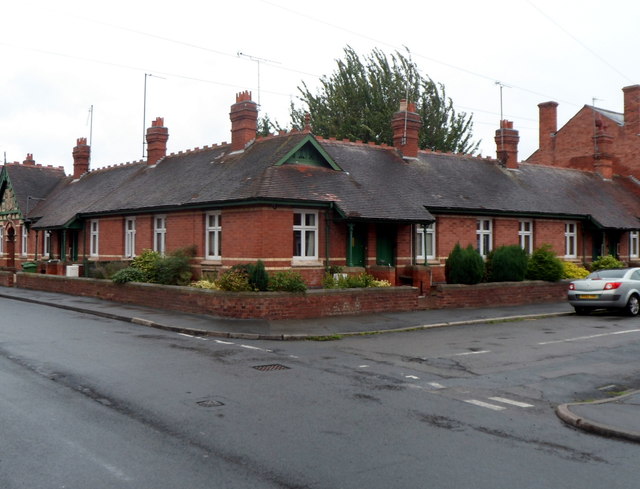
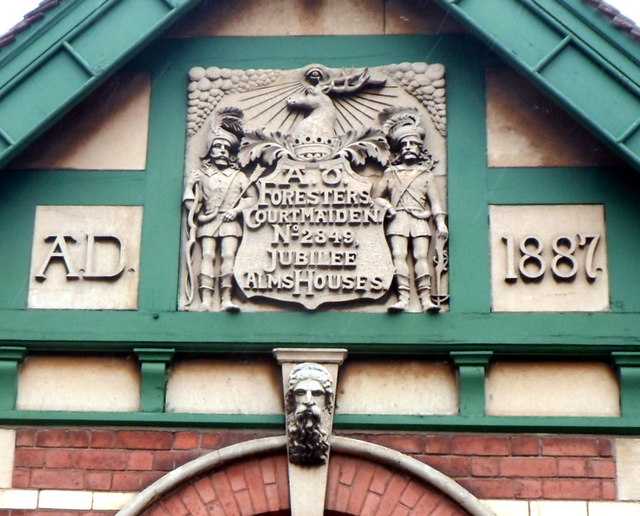
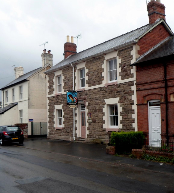
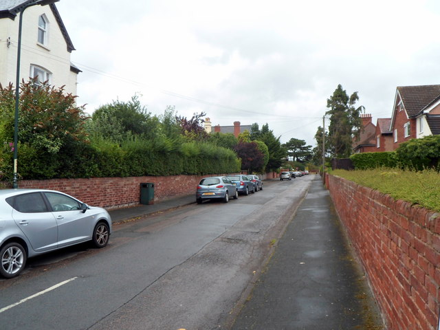
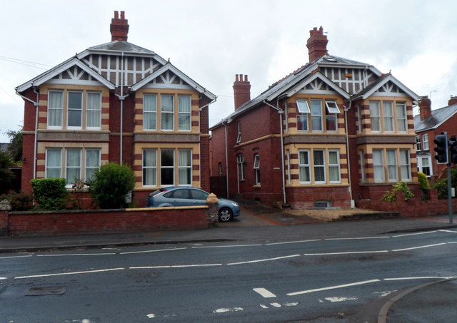
Broomy Hill Images

Images are sourced within 2km of 52.052278/-2.7317093 or Grid Reference SO4939. Thanks to Geograph Open Source API. All images are credited.

Houses on Three Elms Road, Hereford
The road into Hereford Cemetery and Crematorium
Arable land near Lower Breinton Arable land west of Lower Hill Farm, Lower Breinton.
Arable land near Lower Breinton
Arable land west of Lower Hill Farm, Lower Breinton.
Garden of Rest, Hereford Cemetery This area for the interment of cremated remains is close to the new crematorium.
Garden of Rest, Hereford Cemetery
This area for the interment of cremated remains is close to the new crematorium.
Hereford Cemetery To the west of the city centre, off the long Westfaling Street.
Hereford Cemetery
To the west of the city centre, off the long Westfaling Street.
Play area next to Huntsmans Drive, Hereford
Houses and cars on Huntsmans Drive, Hereford
White Horse Square houses, Hereford Viewed from the White Horse Street end.
White Horse Square houses, Hereford
Viewed from the White Horse Street end.
Chandos Street Methodist Church, Hereford On the corner of Chandos Street and White Horse Street.
Chandos Street Methodist Church, Hereford
On the corner of Chandos Street and White Horse Street.
Jubilee Almshouses, Hereford Late Victorian almshouses on the corner of Chandos Street and White Horse Street, opposite Chandos Street Methodist Church. <a title="https://www.geograph.org.uk/photo/3524955" href="https://www.geograph.org.uk/photo/3524955">Link</a>
A tablet <a title="https://www.geograph.org.uk/photo/3525031" href="https://www.geograph.org.uk/photo/3525031">Link</a> depicting stag and verderers shows the year 1887, the Golden Jubilee of Queen Victoria.
Jubilee Almshouses, Hereford
Late Victorian almshouses on the corner of Chandos Street and White Horse Street, opposite Chandos Street Methodist Church. Link A tablet Link depicting stag and verderers shows the year 1887, the Golden Jubilee of Queen Victoria.
Jubilee Almshouses tablet, Hereford The tablet is on the White Horse Street side of the almshouses. <a title="https://www.geograph.org.uk/photo/3525023" href="https://www.geograph.org.uk/photo/3525023">Link</a>
Jubilee Almshouses tablet, Hereford
The tablet is on the White Horse Street side of the almshouses. Link
Britannia pub, Hereford Wye Valley Brewery pub in Cotterell Street. <a title="https://www.geograph.org.uk/photo/3525068" href="https://www.geograph.org.uk/photo/3525068">Link</a> to a closeup of the pub sign.
Britannia pub, Hereford
Wye Valley Brewery pub in Cotterell Street. Link to a closeup of the pub sign.
Britannia pub sign, Hereford Hanging above the pub entrance here. <a title="https://www.geograph.org.uk/photo/3525063" href="https://www.geograph.org.uk/photo/3525063">Link</a>
Britannia pub sign, Hereford
Hanging above the pub entrance here. Link
Hereford Musical Theatre Company This is the Whitecross Road theatre & clubroom of Hereford Musical Theatre Company which was founded in 1898 as Hereford Amateur Operatic Society.
Hereford Musical Theatre Company
This is the Whitecross Road theatre & clubroom of Hereford Musical Theatre Company which was founded in 1898 as Hereford Amateur Operatic Society.
Holy Trinity Parish Church, Hereford The Anglican church on the north side of Whitecross Road serves a large parish in the west of Hereford. The first foundation stone for the church was laid in 1884.  Today, the building is used for a wide range of activities, religious and secular, including concerts and exhibitions.
Holy Trinity Parish Church, Hereford
The Anglican church on the north side of Whitecross Road serves a large parish in the west of Hereford. The first foundation stone for the church was laid in 1884. Today, the building is used for a wide range of activities, religious and secular, including concerts and exhibitions.
The Buckingham of Hereford The name on the side wall of the pub at 141 Whitecross Road Hereford is The Buckingham of Hereford.
The Buckingham of Hereford
The name on the side wall of the pub at 141 Whitecross Road Hereford is The Buckingham of Hereford.
Baggallay Street, Hereford A side street viewed from the Whitecross Road end. My guess on seeing the unusual street name that perhaps it was a Hereford version of back alley was fanciful. The street is probably named after Sir Richard Baggallay (1816–1888), who was Member of Parliament for Hereford from 1865 to 1868.
Baggallay Street, Hereford
A side street viewed from the Whitecross Road end. My guess on seeing the unusual street name that perhaps it was a Hereford version of back alley was fanciful. The street is probably named after Sir Richard Baggallay (1816–1888), who was Member of Parliament for Hereford from 1865 to 1868.
Distinctive houses, Whitecross Road, Hereford The houses are on the corner of Whitecross Road and Holmer Street, viewed from Baggallay Street.
Distinctive houses, Whitecross Road, Hereford
The houses are on the corner of Whitecross Road and Holmer Street, viewed from Baggallay Street.
Show me another place!

Broomy Hill is located at Grid Ref: SO4939 (Lat: 52.052278, Lng: -2.7317093)

Unitary Authority: County of Herefordshire

Police Authority: West Mercia

What 3 Words

///parade.pepper.rounds. Near Hereford, Herefordshire

Nearby Locations

Broomy Hill

Related Wikis

Cider Museum, Hereford

The Cider Museum is a museum in Hereford, England, about the history of cider. The museum was set up as a Trust in the 1970s by Bertram Bulmer, Norman...

Hereford Barton railway station

Hereford Barton railway station was a station in Hereford, Herefordshire, England. == History == The station was opened on 2 January 1854 and closed on...

Hereford Rowing Club

Hereford Rowing Club is a rowing club on the River Wye, based at 37 Greyfriars Avenue, Hereford, Herefordshire. == History == The club was founded in 1859...

Victoria Eye Hospital

The Victoria Eye Hospital was a health facility located on Eign Street in Hereford, England. The main building has since been converted into apartments...

Nearby Amenities

Located within 500m of 52.052278,-2.7317093
Mini Roundabout
Direction: clockwise
Lat/Long: 52.0550585/-2.726078
Turning Circle
Source: Bing
Lat/Long: 52.0547877/-2.7344146
Turning Circle
Lat/Long: 52.0546071/-2.7330128
Leisure: playground
Lat/Long: 52.053137/-2.7344417
Parking
Parking: surface
Lat/Long: 52.0501398/-2.7349688
Barrier: bollard
Bicycle: yes
Foot: yes
Lat/Long: 52.0492594/-2.7287036
Barrier: bollard
Bicycle: yes
Foot: yes
Lat/Long: 52.0484581/-2.7321075
Bus Stop
Westfaling Street
Naptan AtcoCode: 2090A19401
Naptan Bearing: SE
Naptan CommonName: Westfaling Street
Naptan Indicator: opp Cemetery
Naptan Landmark: opp Cemetery
Naptan NaptanCode: heramagw
Naptan PlusbusZoneRef: HEREFRD
Naptan Street: Westfaling Street
Naptan Verified: no
Source: naptan_import
Lat/Long: 52.0562959/-2.7348022
Bus Stop
White Horse Street top
Naptan AtcoCode: 2090A19403
Naptan Bearing: SW
Naptan CommonName: White Horse Street top
Naptan Indicator: o/s No 75/77
Naptan Landmark: o/s 75/77 White Horse Street
Naptan NaptanCode: heramaja
Naptan PlusbusZoneRef: HEREFRD
Naptan Street: White Horse Street
Naptan Verified: no
Source: naptan_import
Lat/Long: 52.0556447/-2.7325309
Bus Stop
White Horse Street top
Naptan AtcoCode: 2090A19405
Naptan Bearing: NE
Naptan CommonName: White Horse Street top
Naptan Indicator: opp No 75
Naptan Landmark: opp No 75 White Horse Street
Naptan NaptanCode: heramajd
Naptan PlusbusZoneRef: HEREFRD
Naptan Street: White Horse Street. Hereford
Naptan Verified: no
Source: naptan_import
Lat/Long: 52.0557336/-2.7326928
Bus Stop
Queens Hill Gardens
Bus: yes
Naptan AtcoCode: 2090A19407
Naptan Bearing: NE
Naptan CommonName: Queens Hill Gardens
Naptan Indicator: opp
Naptan Landmark: opp Queens Hill Gardens
Naptan NaptanCode: heramajg
Naptan PlusbusZoneRef: HEREFRD
Naptan Street: White Horse Street
Naptan Verified: no
Public Transport: platform
Source: naptan_import
Lat/Long: 52.0567187/-2.7318775
Bus Stop
Cemetery
Naptan AtcoCode: 2090A987651
Naptan Bearing: E
Naptan BusStopType: CUS
Naptan CommonName: Cemetery
Naptan Indicator: adj
Naptan Landmark: Cemetery
Naptan NaptanCode: heraptga
Naptan PlusbusZoneRef: HEREFRD
Naptan Street: Breinton Road
Naptan Verified: no
Source: naptan_import
Lat/Long: 52.053834/-2.7359723
Railway: switch
Lat/Long: 52.0486552/-2.735101
Railway: switch
Lat/Long: 52.0488911/-2.7354281
Railway: switch
Lat/Long: 52.0495932/-2.7364819
Waterworks Museum
Addr City: Hereford
Addr Postcode: HR4 0LJ
Addr Street: Broomy Hill
Fee: yes
Museum: history
Tourism: museum
Website: https://www.waterworksmuseum.org.uk/
Lat/Long: 52.0499591/-2.7351001
Leisure: playground
Max Age: 8
Operator: Herefordshire Council
Lat/Long: 52.0491786/-2.729505
Tunnel: yes
Lat/Long: 52.0495764/-2.7310036
Generator Method: photovoltaic
Generator Output Electricity: yes
Generator Source: solar
Generator Type: solar_photovoltaic_panel
Location: roof
Power: generator
Lat/Long: 52.0540137/-2.7301857
Generator Method: photovoltaic
Generator Output Electricity: yes
Generator Source: solar
Generator Type: solar_photovoltaic_panel
Location: roof
Power: generator
Lat/Long: 52.0549233/-2.7271682
Generator Method: photovoltaic
Generator Output Electricity: yes
Generator Source: solar
Generator Type: solar_photovoltaic_panel
Location: roof
Power: generator
Lat/Long: 52.0547847/-2.7294159
Generator Method: photovoltaic
Generator Output Electricity: yes
Generator Source: solar
Generator Type: solar_photovoltaic_panel
Location: roof
Power: generator
Lat/Long: 52.0532129/-2.7320176
Generator Method: photovoltaic
Generator Output Electricity: yes
Generator Source: solar
Generator Type: solar_photovoltaic_panel
Location: roof
Power: generator
Lat/Long: 52.0530447/-2.7325997
Generator Method: photovoltaic
Generator Output Electricity: yes
Generator Source: solar
Generator Type: solar_photovoltaic_panel
Location: roof
Power: generator
Lat/Long: 52.0531238/-2.7334714
Generator Method: photovoltaic
Generator Output Electricity: yes
Generator Source: solar
Generator Type: solar_photovoltaic_panel
Location: roof
Power: generator
Lat/Long: 52.0531535/-2.7333856
Generator Method: photovoltaic
Generator Output Electricity: yes
Generator Source: solar
Generator Type: solar_photovoltaic_panel
Location: roof
Power: generator
Lat/Long: 52.0545885/-2.7343646
Bicycle Rental
Capacity: 5
Name Signed: no
Network: Beryl - Hereford
Official Name: Tower Road
Operator: Beryl
Operator Wikidata: Q106575369
Payment App: yes
Payment App Android: cc.beryl.basis
Payment App Ios: 1386768364
Payment Cash: no
Payment Credit Cards: no
Payment Cryptocurrencies: no
Payment Debit Cards: no
Payment Electronic Purses: no
Ref Gbfs: beryl_hereford:2261
Lat/Long: 52.0538406/-2.7313371
Power: pole
Lat/Long: 52.0492431/-2.7349477
Broomy Hill
Railway: station
Usage: tourism
Lat/Long: 52.0491983/-2.7351338
Defibrillator
Defibrillator Location: On railings next to SE building corner (by entance)
Emergency: defibrillator
Indoor: no
Lat/Long: 52.0501042/-2.7350239
The data included in this document is from www.openstreetmap.org. The data is made available under ODbL.

Have you been to Broomy Hill?

Leave your review of Broomy Hill below (or comments, questions and feedback).