Broom's Green
Settlement in Gloucestershire Forest of Dean
England
Broom's Green
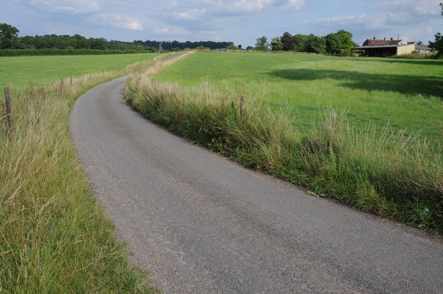
Broom's Green is a small village located in the county of Gloucestershire, England. Situated in the picturesque countryside, it is surrounded by rolling hills and open fields, giving it a peaceful and idyllic atmosphere.
The village is known for its charming and traditional architecture, with many houses dating back several centuries. The local stone and thatched roofs add to its rustic and historic appeal. Broom's Green is home to a close-knit community, where residents take pride in maintaining the village's character and heritage.
Despite its small size, Broom's Green offers a range of amenities to its residents. The village has a local pub, where locals and visitors come together to enjoy a pint and engage in lively conversations. There is also a village hall that serves as a social hub for various community events and gatherings.
Nature lovers are drawn to Broom's Green due to its proximity to beautiful countryside walks and cycling routes. The village is surrounded by stunning landscapes, including nearby woodlands and meadows, making it an ideal location for outdoor enthusiasts.
Broom's Green is conveniently located near larger towns and cities, providing easy access to a wider range of amenities and services. The city of Gloucester is just a short drive away, offering a diverse range of shopping, entertainment, and cultural activities.
Overall, Broom's Green is a charming and tranquil village, offering a peaceful retreat from the hustle and bustle of city life while still providing access to essential facilities and the beauty of the English countryside.
If you have any feedback on the listing, please let us know in the comments section below.
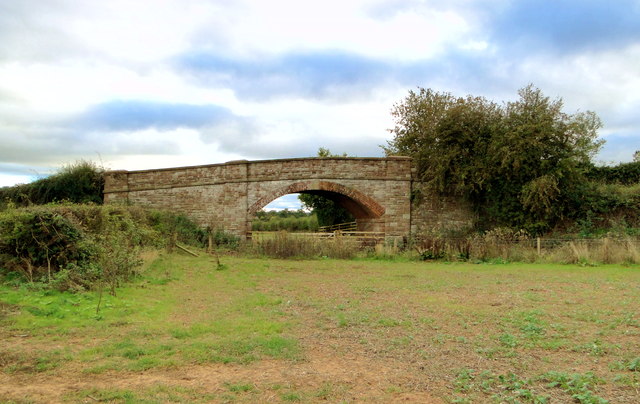
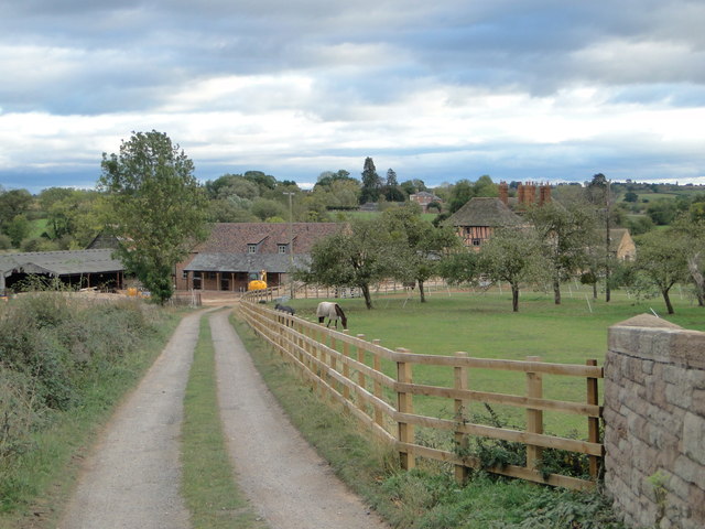
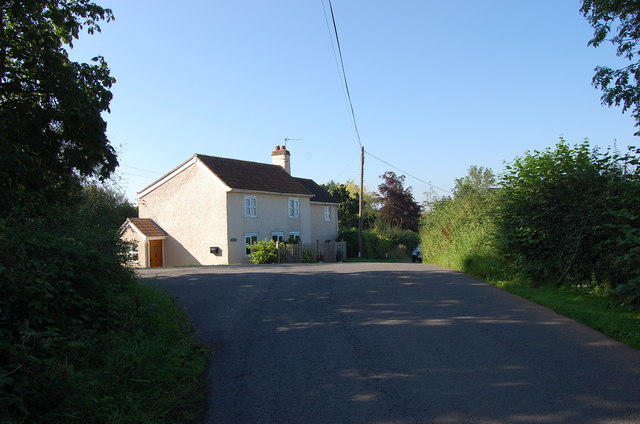
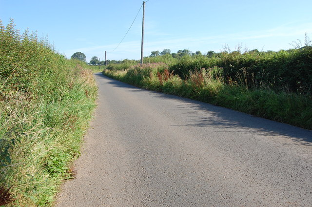
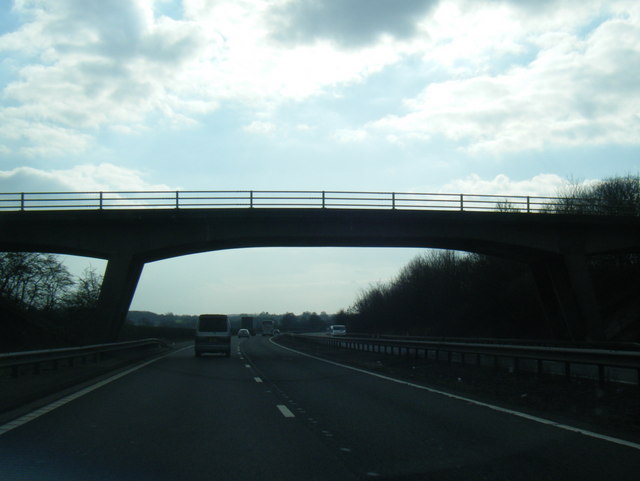
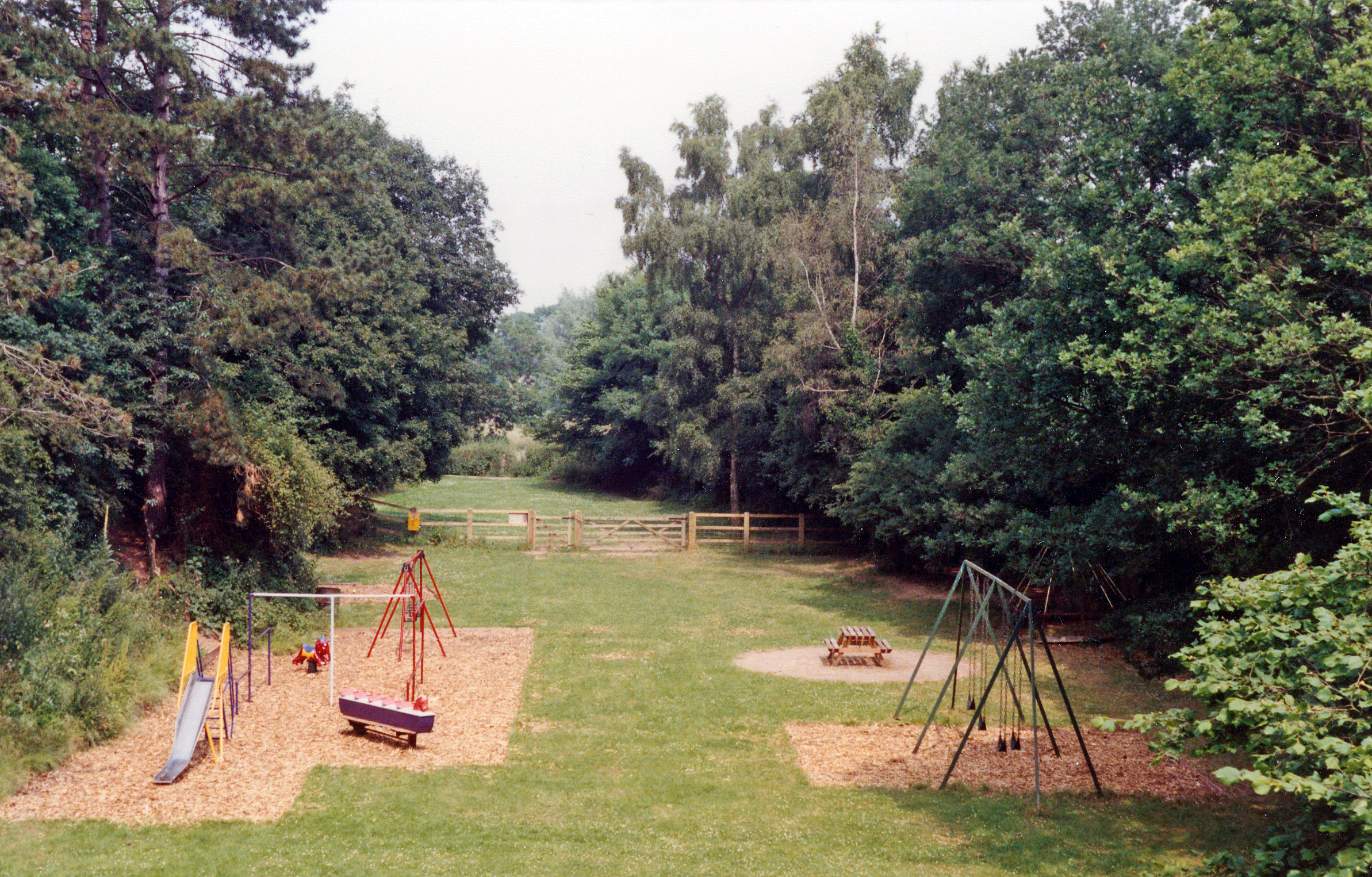
Broom's Green Images
Images are sourced within 2km of 51.993674/-2.418694 or Grid Reference SO7132. Thanks to Geograph Open Source API. All images are credited.


Broom's Green is located at Grid Ref: SO7132 (Lat: 51.993674, Lng: -2.418694)
Administrative County: Gloucestershire
District: Forest of Dean
Police Authority: Gloucestershire
What 3 Words
///examine.scaffold.grower. Near Donnington, Herefordshire
Nearby Locations
Related Wikis

Three Counties (Gloucestershire, Herefordshire and Worcestershire)
The Three Counties of England are traditionally the three agrarian counties of Gloucestershire, Herefordshire and Worcestershire.Including towns and cities...

Donnington, Herefordshire
Donnington is a village and civil parish near Ledbury. == Parish church == The parish church is dedicated to Saint Mary. Donnington Hall is located here...

Vell Mill Daffodil Meadow
Vell Mill Daffodil Meadow (grid reference SO710314) is a 2.1-hectare (5.2-acre) nature reserve in Gloucestershire.The site is owned and managed by the...

Greenway Halt railway station (Gloucestershire)
Greenway Halt was a request stop on the former Ledbury and Gloucester Railway. It opened on 1st April 1937 and closed in 1959 when the line was closed...
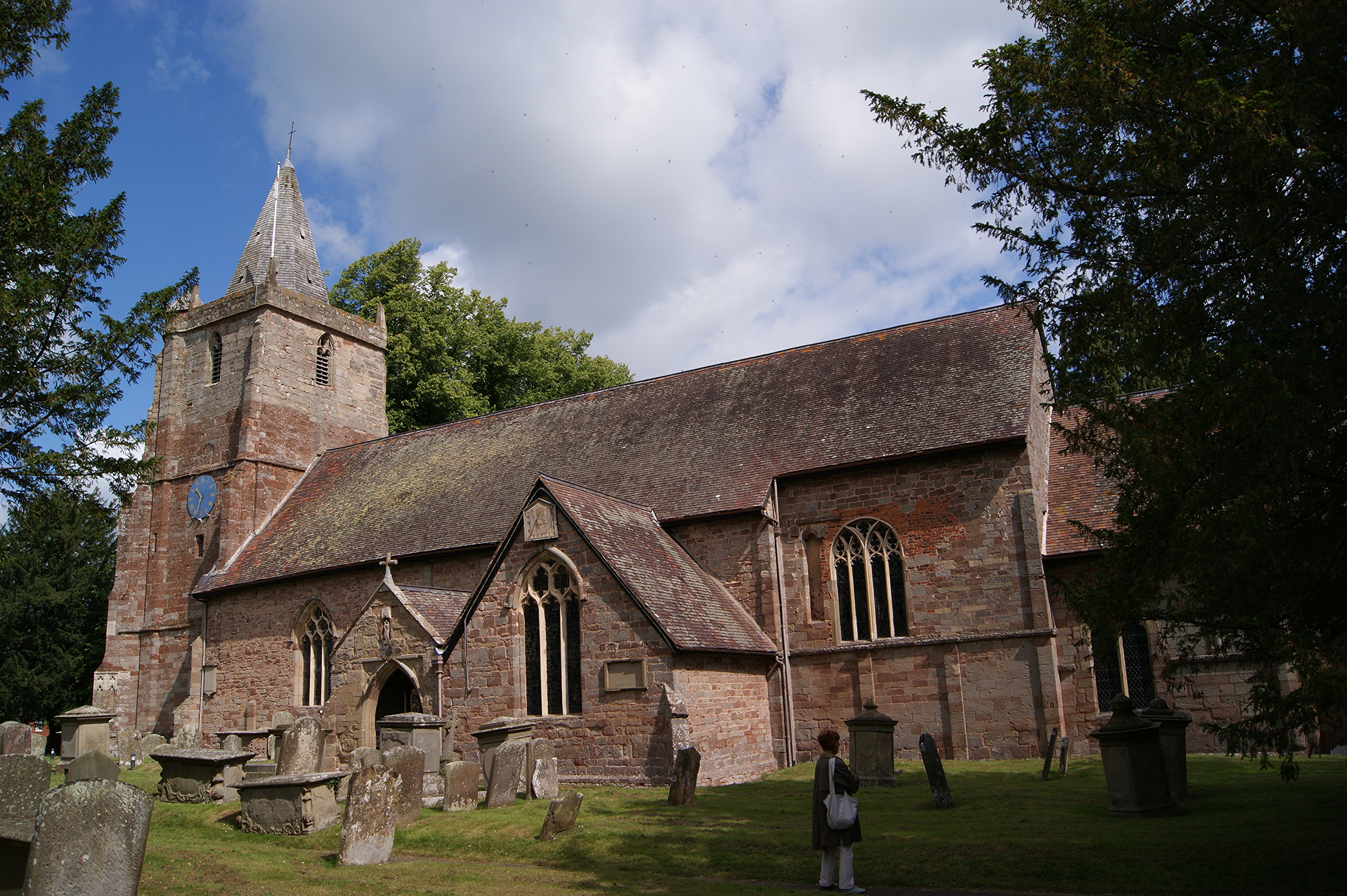
St Mary's Church, Dymock
St Mary's Church, Dymock is a Church of England parish church in the center of the village of Dymock in Gloucestershire, England. It is a Grade I listed...

Dymock
Dymock is a village and civil parish in the Forest of Dean district of Gloucestershire, England, about four miles south of Ledbury. In 2014 the parish...

Ketford Bank
Ketford Bank (grid reference SO723308) is a 0.69-hectare (1.7-acre) nature reserve in Gloucestershire.The site is owned and managed by the Gloucestershire...
Dymock railway station
Dymock railway station was a stop on the former Ledbury and Gloucester Railway. It opened in 1885 and served the Gloucestershire village of Dymock. It...
Nearby Amenities
Located within 500m of 51.993674,-2.418694Have you been to Broom's Green?
Leave your review of Broom's Green below (or comments, questions and feedback).