London Colney
Civil Parish in Hertfordshire St Albans
England
London Colney
London Colney is a civil parish located in the county of Hertfordshire, England. Situated just 20 miles north of central London, it falls within the St Albans district. The parish covers an area of approximately 1,400 acres and has a population of around 10,000 residents.
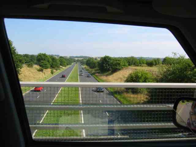
London Colney is predominantly a residential area, offering a mix of housing options including detached homes, terraced houses, and apartments. The parish is well-connected with excellent transport links, including the nearby M25 motorway and the A414 road, making it an attractive location for commuters working in London or the surrounding areas.
The heart of London Colney is its bustling high street, which offers a range of amenities such as supermarkets, shops, cafes, and restaurants. The parish also benefits from several recreational facilities, including a leisure center, sports clubs, and parks. One of the notable attractions in the area is the Colney Fields Shopping Park, a popular retail destination.
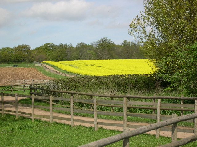
The parish has a rich history, with evidence of human activity dating back to the Roman era. Today, it is known for its proximity to the historic city of St Albans, which is home to the famous St Albans Cathedral and Verulamium Park. The surrounding countryside provides opportunities for outdoor activities, such as walking and cycling.
Overall, London Colney offers a pleasant and convenient place to live, combining the advantages of rural living with easy access to the capital city.
If you have any feedback on the listing, please let us know in the comments section below.
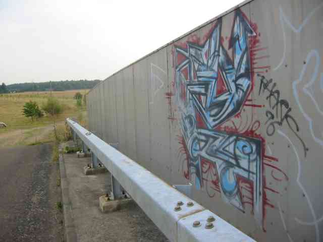
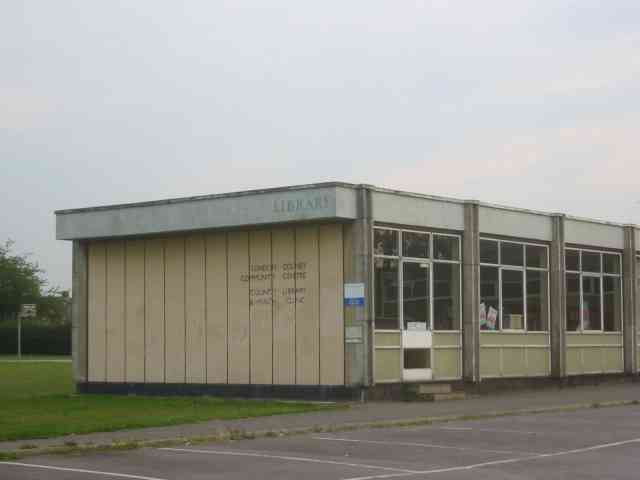
London Colney Images
Images are sourced within 2km of 51.720733/-0.301312 or Grid Reference TL1703. Thanks to Geograph Open Source API. All images are credited.


London Colney is located at Grid Ref: TL1703 (Lat: 51.720733, Lng: -0.301312)
Administrative County: Hertfordshire
District: St Albans
Police Authority: Hertfordshire
What 3 Words
///pilots.fend.party. Near Shenley, Hertfordshire
Nearby Locations
Related Wikis

Fir and Pond Woods
Fir and Pond Woods is a 29 hectare nature reserve in Potters Bar in Hertfordshire. It is managed by the Herts and Middlesex Wildlife Trust. It is two separate...

Broad Colney Lakes
Broad Colney Lakes is an 11 hectare nature reserve previously managed by Herts and Middlesex Wildlife Trust in London Colney in Hertfordshire. It has recently...

London Colney
London Colney () is a village and civil parish in Hertfordshire, England. It is located to the north of London, close to Junction 22 of the M25 motorway...

Napsbury Hospital
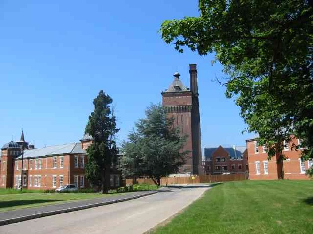
Napsbury Hospital was a mental health facility near London Colney in Hertfordshire. It had two sister institutions, Harperbury Hospital and Shenley Hospital...

Napsbury Park
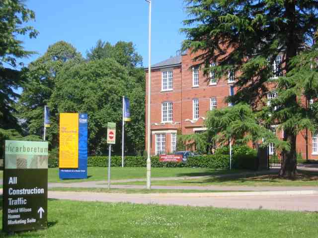
Napsbury Park is a residential development in Hertfordshire, England. It is located to the north of London, at Junction 22 of the M25 motorway and Junction...

London Colney F.C.
London Colney Football Club is a football club based in London Colney, near St Albans, England. They are currently members of the Combined Counties League...

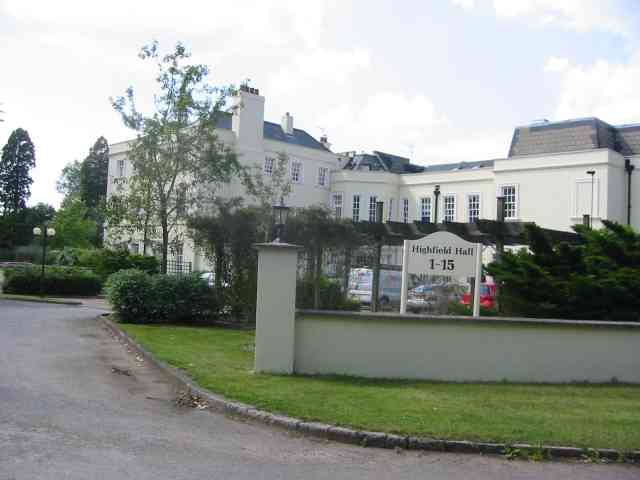
All Saints Pastoral Centre
All Saints Pastoral Centre is a complex of buildings at London Colney on the southern outskirts of St Albans, Hertfordshire, England. It was built as a...

Napsbury railway station
Napsbury railway station was built by the Midland Railway in 1905 on its line to St Pancras station. It was never more than an island platform between...
Nearby Amenities
Located within 500m of 51.720733,-0.301312Have you been to London Colney?
Leave your review of London Colney below (or comments, questions and feedback).