Colney, Broad

Settlement in Hertfordshire St. Albans

England

Colney, Broad

Shenley Lane, London Colney
Shenley Lane, London Colney Credit: David Howard

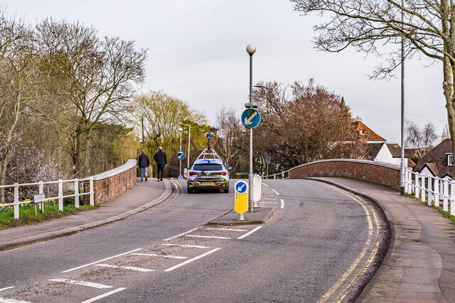
Colney, Broad is a small village located in the county of Hertfordshire, England. Nestled in the southern part of the county, Colney, Broad is surrounded by picturesque countryside and offers a tranquil setting for its residents. Situated just three miles south of St Albans, it benefits from close proximity to the amenities and services of a larger town, while still maintaining its rural charm.

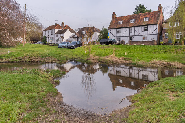
The village is characterized by its traditional architecture, with charming cottages and historic buildings dotting the landscape. The centerpiece of Colney, Broad is the beautiful St. Mark's Church, a Grade II listed building that dates back to the 12th century. The church is known for its stunning stained glass windows and intricate stonework.

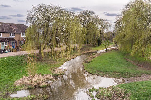
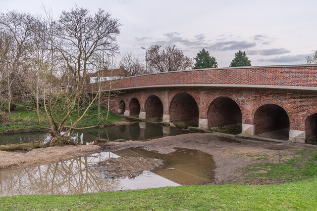
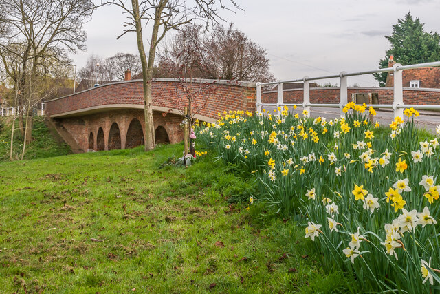
Nature lovers will appreciate the abundance of green spaces and walking trails in the area. The nearby Colney Heath and Tyttenhanger Common Nature Reserve provide opportunities for outdoor activities such as hiking, birdwatching, and picnicking. The River Colne also runs through the village, offering scenic views and opportunities for fishing.

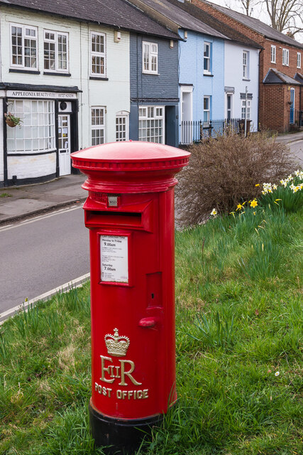
Colney, Broad is a close-knit community, with a friendly and welcoming atmosphere. The village has a primary school, providing education for the local children, and a village hall that serves as a hub for community events and gatherings. There are also a few local shops and pubs that cater to the needs and social activities of the residents.

Overall, Colney, Broad offers a peaceful and idyllic setting for those seeking a quieter lifestyle, while still enjoying the convenience of nearby towns and amenities.

If you have any feedback on the listing, please let us know in the comments section below.

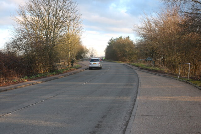
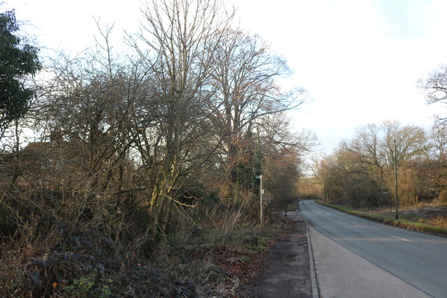
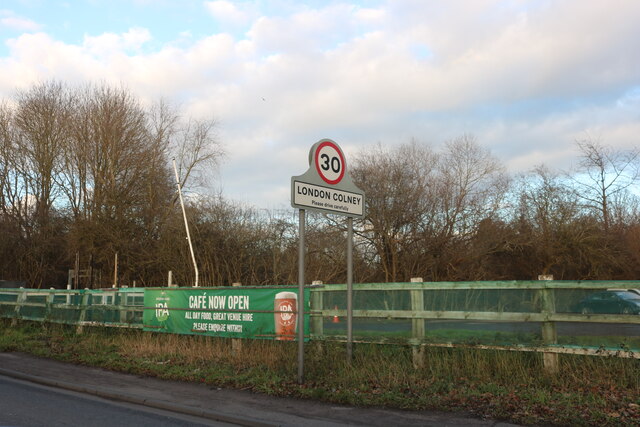
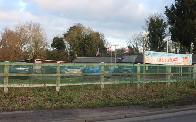
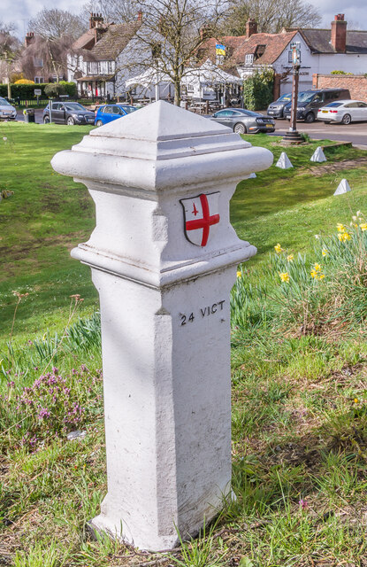
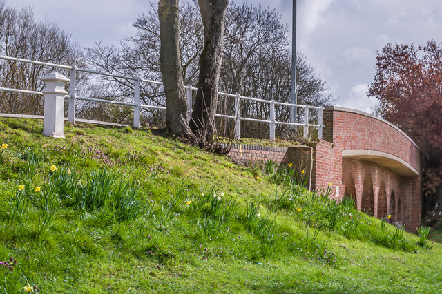
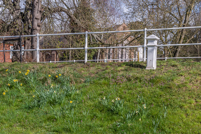
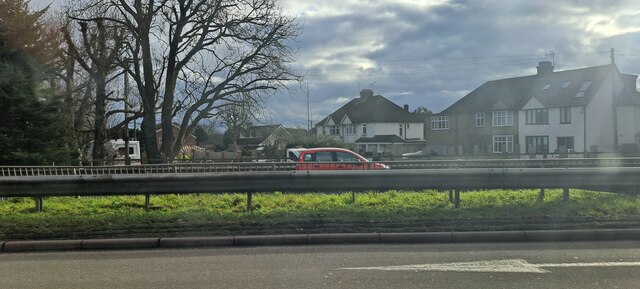
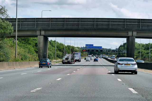
Colney, Broad Images

Images are sourced within 2km of 51.714868/-0.29966888 or Grid Reference TL1703. Thanks to Geograph Open Source API. All images are credited.

Shenley Lane, London Colney
Entering London Colney on Shenley Lane London Colney is on the River Colne just behind this spot.
Entering London Colney on Shenley Lane
London Colney is on the River Colne just behind this spot.
Cafe on Shenley Lane, London Colney By the River Colne
Cafe on Shenley Lane, London Colney
By the River Colne
River Colne The River Colne in London Colney.  In the foreground is the original ford across the river, superseded in 1774 when the adjacent road bridge was built.
River Colne
The River Colne in London Colney. In the foreground is the original ford across the river, superseded in 1774 when the adjacent road bridge was built.
River Colne The River Colne in London Colney, at the site of the original ford across the river, superseded in 1774 when the adjacent road bridge was built.  In the left background are Colne House (c.1800) and the adjacent Riverside Cottage (early - mid 19th Century) and in the right background is Waterside House (early 18th Century).  All three are grade II listed - see <span class="nowrap"><a title="https://historicengland.org.uk/listing/the-list/list-entry/1102982?section=official-list-entry," rel="nofollow ugc noopener" href="https://historicengland.org.uk/listing/the-list/list-entry/1102982?section=official-list-entry,">Link</a><img style="margin-left:2px;" alt="External link" title="External link - shift click to open in new window" src="https://s1.geograph.org.uk/img/external.png" width="10" height="10"/></span> <span class="nowrap"><a title="https://historicengland.org.uk/listing/the-list/list-entry/1295622?section=official-list-entry" rel="nofollow ugc noopener" href="https://historicengland.org.uk/listing/the-list/list-entry/1295622?section=official-list-entry">Link</a><img style="margin-left:2px;" alt="External link" title="External link - shift click to open in new window" src="https://s1.geograph.org.uk/img/external.png" width="10" height="10"/></span> and <span class="nowrap"><a title="https://historicengland.org.uk/listing/the-list/list-entry/1102941?section=official-list-entry" rel="nofollow ugc noopener" href="https://historicengland.org.uk/listing/the-list/list-entry/1102941?section=official-list-entry">Link</a><img style="margin-left:2px;" alt="External link" title="External link - shift click to open in new window" src="https://s1.geograph.org.uk/img/external.png" width="10" height="10"/></span> respectively.
River Colne
The River Colne in London Colney, at the site of the original ford across the river, superseded in 1774 when the adjacent road bridge was built. In the left background are Colne House (c.1800) and the adjacent Riverside Cottage (early - mid 19th Century) and in the right background is Waterside House (early 18th Century). All three are grade II listed - see LinkExternal link LinkExternal link and LinkExternal link respectively.
Telford's Bridge Bridge over the River Colne in London Colney, once on the A6 from St Albans to London until bypassed by the London Colney Bypass (now the A1081) in 1959.  The plaque on the far left (see <a href="https://www.geograph.org.uk/photo/7125038">TL1803 : Plaque, Telford's Bridge</a> for close up) states that it was built c.1775 (other sources give a year of 1774) and restored in 1998.  Although the name might seem to point to Thomas Telford as the designer/builder, the fact that he was  born in 1757 and so would have been only 17 or 18 at the time of building, and still serving his apprenticeship in his native Scotland, it is considered extremely unlikely that it was in fact his work.  Grade II listed - see <span class="nowrap"><a title="https://historicengland.org.uk/listing/the-list/list-entry/1174667?section=official-list-entry" rel="nofollow ugc noopener" href="https://historicengland.org.uk/listing/the-list/list-entry/1174667?section=official-list-entry">Link</a><img style="margin-left:2px;" alt="External link" title="External link - shift click to open in new window" src="https://s1.geograph.org.uk/img/external.png" width="10" height="10"/></span>.
Telford's Bridge
Bridge over the River Colne in London Colney, once on the A6 from St Albans to London until bypassed by the London Colney Bypass (now the A1081) in 1959. The plaque on the far left (see TL1803 : Plaque, Telford's Bridge for close up) states that it was built c.1775 (other sources give a year of 1774) and restored in 1998. Although the name might seem to point to Thomas Telford as the designer/builder, the fact that he was born in 1757 and so would have been only 17 or 18 at the time of building, and still serving his apprenticeship in his native Scotland, it is considered extremely unlikely that it was in fact his work. Grade II listed - see LinkExternal link.
Plaque, Telford's Bridge Plaque on the Telford's Bridge (see <a href="https://www.geograph.org.uk/photo/7125036">TL1803 : Telford's Bridge</a>).  It reads "Telfords Bridge  Built c 1775  Restored 1998".
Plaque, Telford's Bridge
Plaque on the Telford's Bridge (see TL1803 : Telford's Bridge). It reads "Telfords Bridge Built c 1775 Restored 1998".
Telford's Bridge Bridge over the River Colne in London Colney, once on the A6 from St Albans to London until bypassed by the London Colney Bypass (now the A1081) in 1959.  A plaque on the other side of the bridge (see <a href="https://www.geograph.org.uk/photo/7125038">TL1803 : Plaque, Telford's Bridge</a>) states that it was built c.1775 (other sources give a year of 1774) and restored in 1998.  Although the name might seem to point to Thomas Telford as the designer/builder, the fact that he was  born in 1757 and so would have been only 17 or 18 at the time of building, and still serving his apprenticeship in his native Scotland, it is considered extremely unlikely that it was in fact his work.  Grade II listed - see <span class="nowrap"><a title="https://historicengland.org.uk/listing/the-list/list-entry/1174667?section=official-list-entry" rel="nofollow ugc noopener" href="https://historicengland.org.uk/listing/the-list/list-entry/1174667?section=official-list-entry">Link</a><img style="margin-left:2px;" alt="External link" title="External link - shift click to open in new window" src="https://s1.geograph.org.uk/img/external.png" width="10" height="10"/></span>.
Telford's Bridge
Bridge over the River Colne in London Colney, once on the A6 from St Albans to London until bypassed by the London Colney Bypass (now the A1081) in 1959. A plaque on the other side of the bridge (see TL1803 : Plaque, Telford's Bridge) states that it was built c.1775 (other sources give a year of 1774) and restored in 1998. Although the name might seem to point to Thomas Telford as the designer/builder, the fact that he was born in 1757 and so would have been only 17 or 18 at the time of building, and still serving his apprenticeship in his native Scotland, it is considered extremely unlikely that it was in fact his work. Grade II listed - see LinkExternal link.
Telford's Bridge Daffodils on the approach to Telford's Bridge over the River Colne in London Colney, once on the A6 from St Albans to London until bypassed by the London Colney Bypass (now the A1081) in 1959.  A plaque on the other side of the bridge (see <a href="https://www.geograph.org.uk/photo/7125038">TL1803 : Plaque, Telford's Bridge</a>) states that it was built c.1775 (other sources give a year of 1774) and restored in 1998.  Although the name might seem to point to Thomas Telford as the designer/builder, the fact that he was  born in 1757 and so would have been only 17 or 18 at the time of building, and still serving his apprenticeship in his native Scotland, it is considered extremely unlikely that it was in fact his work.  Grade II listed - see <span class="nowrap"><a title="https://historicengland.org.uk/listing/the-list/list-entry/1174667?section=official-list-entry" rel="nofollow ugc noopener" href="https://historicengland.org.uk/listing/the-list/list-entry/1174667?section=official-list-entry">Link</a><img style="margin-left:2px;" alt="External link" title="External link - shift click to open in new window" src="https://s1.geograph.org.uk/img/external.png" width="10" height="10"/></span>.
Telford's Bridge
Daffodils on the approach to Telford's Bridge over the River Colne in London Colney, once on the A6 from St Albans to London until bypassed by the London Colney Bypass (now the A1081) in 1959. A plaque on the other side of the bridge (see TL1803 : Plaque, Telford's Bridge) states that it was built c.1775 (other sources give a year of 1774) and restored in 1998. Although the name might seem to point to Thomas Telford as the designer/builder, the fact that he was born in 1757 and so would have been only 17 or 18 at the time of building, and still serving his apprenticeship in his native Scotland, it is considered extremely unlikely that it was in fact his work. Grade II listed - see LinkExternal link.
Telford's Bridge Looking towards Telford's Bridge over the River Colne in London Colney, once on the A6 from St Albans to London until bypassed by the London Colney Bypass (now the A1081) in 1959.  A plaque on the side of the bridge (see <a href="https://www.geograph.org.uk/photo/7125038">TL1803 : Plaque, Telford's Bridge</a>) states that it was built c.1775 (other sources give a year of 1774) and restored in 1998.  Although the name might seem to point to Thomas Telford as the designer/builder, the fact that he was  born in 1757 and so would have been only 17 or 18 at the time of building, and still serving his apprenticeship in his native Scotland, it is considered extremely unlikely that it was in fact his work.  Grade II listed - see <span class="nowrap"><a title="https://historicengland.org.uk/listing/the-list/list-entry/1174667?section=official-list-entry" rel="nofollow ugc noopener" href="https://historicengland.org.uk/listing/the-list/list-entry/1174667?section=official-list-entry">Link</a><img style="margin-left:2px;" alt="External link" title="External link - shift click to open in new window" src="https://s1.geograph.org.uk/img/external.png" width="10" height="10"/></span>.

Note the Google Street View car crossing the bridge.
Telford's Bridge
Looking towards Telford's Bridge over the River Colne in London Colney, once on the A6 from St Albans to London until bypassed by the London Colney Bypass (now the A1081) in 1959. A plaque on the side of the bridge (see TL1803 : Plaque, Telford's Bridge) states that it was built c.1775 (other sources give a year of 1774) and restored in 1998. Although the name might seem to point to Thomas Telford as the designer/builder, the fact that he was born in 1757 and so would have been only 17 or 18 at the time of building, and still serving his apprenticeship in his native Scotland, it is considered extremely unlikely that it was in fact his work. Grade II listed - see LinkExternal link. Note the Google Street View car crossing the bridge.
Post box EIIR post box with gold painted cypher, sited on the High Street below Telford's Bridge.
Post box
EIIR post box with gold painted cypher, sited on the High Street below Telford's Bridge.
Coal Tax Post no 37 This Coal Tax Post (no 37 on the list linked to below) is alongside High Street, at the northern end of Telford's Bridge.  For wider views see <a href="https://www.geograph.org.uk/photo/7138245">TL1803 : Coal Tax Post no 37</a> and <a href="https://www.geograph.org.uk/photo/7138253">TL1803 : Coal Tax Post no 37</a>.
Coal Tax Post no 37
This Coal Tax Post (no 37 on the list linked to below) is alongside High Street, at the northern end of Telford's Bridge. For wider views see TL1803 : Coal Tax Post no 37 and TL1803 : Coal Tax Post no 37.
Coal Tax Post no 37 At the top of the bank on the left of the photo is a Coal Tax Post (no 37 on the list linked to below), situated alongside High Street, at the northern end of Telford's Bridge (in the background).  For a close up of the post see <a href="https://www.geograph.org.uk/photo/7138242">TL1803 : Coal Tax Post no 37</a>.
Coal Tax Post no 37
At the top of the bank on the left of the photo is a Coal Tax Post (no 37 on the list linked to below), situated alongside High Street, at the northern end of Telford's Bridge (in the background). For a close up of the post see TL1803 : Coal Tax Post no 37.
Coal Tax Post no 37 At the top of the bank on the right of the photo is a Coal Tax Post (no 37 on the list linked to below), situated alongside High Street, at the northern end of Telford's Bridge.  In the background is St Peter's Church.  For a close up of the post see <a href="https://www.geograph.org.uk/photo/7138242">TL1803 : Coal Tax Post no 37</a>.
Coal Tax Post no 37
At the top of the bank on the right of the photo is a Coal Tax Post (no 37 on the list linked to below), situated alongside High Street, at the northern end of Telford's Bridge. In the background is St Peter's Church. For a close up of the post see TL1803 : Coal Tax Post no 37.
High Street, London Colney, across the North Orbital Road The houses seen across the road are at the north end of London Colney's High Street, which, before it was severed by the building of the North Orbital Road and other pre-motorway arterial roads, was the old A6 linking Barnet to St Albans.
High Street, London Colney, across the North Orbital Road
The houses seen across the road are at the north end of London Colney's High Street, which, before it was severed by the building of the North Orbital Road and other pre-motorway arterial roads, was the old A6 linking Barnet to St Albans.
Footbridge over the Clockwise M25 Officially named the London Orbital and frequently derided as nothing more than a very big car park, the M25 is a 117-mile orbital motorway that encircles London; one of the world's biggest ring roads (Europe's second longest orbital road after the Berliner Ring, which is 122 miles). It is not, however, a continuous loop of motorway as the Dartford Crossing section (comprising the Dartford Tunnels and the Queen Elizabeth II Bridge) over the Thames and its approach roads are designated as the A282. 

Constructed between 1975 and 1986, the M25 is reputedly the most expensive motorway Britain ever built, costing a total of £909m or roughly £7.5m per mile, but at the time of its planning, the demand for the road was considerably underestimated so that when it was finally completed in 1986, it was already out of date. Demand outstripped capacity within a few years and ever since then it's been very heavily congested. 

The M25 is one of the UK’s busiest motorways, carrying up to 200,000 vehicles and 10,000 HGVs per day (AADT - Annual Average Daily Traffic flow) on the section near to Heathrow Airport. Since its opening in the 1980s, the southern, western and eastern sections have been widened to largely dual four lane (D4M) standard, but much of the motorway retains its dual three lane road (D3M) cross-section as originally built. 

The M25 was home to England's first Variable Speed Limits on motorways between the A3 and M4 in the early 1990s.

<span class="nowrap"><a title="http://www.cbrd.co.uk/motorway/m25/" rel="nofollow ugc noopener" href="http://www.cbrd.co.uk/motorway/m25/">Link</a><img style="margin-left:2px;" alt="External link" title="External link - shift click to open in new window" src="https://s1.geograph.org.uk/img/external.png" width="10" height="10"/></span>  cbrd
<span class="nowrap"><a title="http://www.sabre-roads.org.uk/wiki/index.php?title=M25" rel="nofollow ugc noopener" href="http://www.sabre-roads.org.uk/wiki/index.php?title=M25">Link</a><img style="margin-left:2px;" alt="External link" title="External link - shift click to open in new window" src="https://s1.geograph.org.uk/img/external.png" width="10" height="10"/></span>  SABRE
Footbridge over the Clockwise M25
Officially named the London Orbital and frequently derided as nothing more than a very big car park, the M25 is a 117-mile orbital motorway that encircles London; one of the world's biggest ring roads (Europe's second longest orbital road after the Berliner Ring, which is 122 miles). It is not, however, a continuous loop of motorway as the Dartford Crossing section (comprising the Dartford Tunnels and the Queen Elizabeth II Bridge) over the Thames and its approach roads are designated as the A282. Constructed between 1975 and 1986, the M25 is reputedly the most expensive motorway Britain ever built, costing a total of £909m or roughly £7.5m per mile, but at the time of its planning, the demand for the road was considerably underestimated so that when it was finally completed in 1986, it was already out of date. Demand outstripped capacity within a few years and ever since then it's been very heavily congested. The M25 is one of the UK’s busiest motorways, carrying up to 200,000 vehicles and 10,000 HGVs per day (AADT - Annual Average Daily Traffic flow) on the section near to Heathrow Airport. Since its opening in the 1980s, the southern, western and eastern sections have been widened to largely dual four lane (D4M) standard, but much of the motorway retains its dual three lane road (D3M) cross-section as originally built. The M25 was home to England's first Variable Speed Limits on motorways between the A3 and M4 in the early 1990s. LinkExternal link cbrd LinkExternal link SABRE
Show me another place!

Colney, Broad is located at Grid Ref: TL1703 (Lat: 51.714868, Lng: -0.29966888)

Administrative County: Hertfordshire

District: St. Albans

Police Authority: Hertfordshire

What 3 Words

///spirit.boom.hiking. Near Shenley, Hertfordshire

Related Wikis

Fir and Pond Woods

Fir and Pond Woods is a 29 hectare nature reserve in Potters Bar in Hertfordshire. It is managed by the Herts and Middlesex Wildlife Trust. It is two separate...

Broad Colney Lakes

Broad Colney Lakes is an 11 hectare nature reserve previously managed by Herts and Middlesex Wildlife Trust in London Colney in Hertfordshire. It has recently...

All Saints Pastoral Centre

All Saints Pastoral Centre is a complex of buildings at London Colney on the southern outskirts of St Albans, Hertfordshire, England. It was built as a...

Arsenal Training Centre

The Arsenal Training Centre, branded as the Sobha Realty Training Centre for sponsorship reasons, and often referred to as its geographical location London...

Nearby Amenities

Located within 500m of 51.714868,-0.29966888
All Saints Pastoral Centre
Lat/Long: 51.7121993/-0.3009503
Broad Colney Lakes Nature Reserve
Leisure: nature_reserve
Website: https://www.hertswildlifetrust.org.uk/reserves/broad-colney-lakes
Lat/Long: 51.717171/-0.2966034
Bench
Backrest: yes
Source: GPS
Lat/Long: 51.7177653/-0.2954287
School
Bell St Albans Language School
Lat/Long: 51.7118678/-0.300666
Coal tax post
Historic: boundary_stone
Inscription: 24 VICT
Material: iron
Note: Coal tax boundary marker 38
Lat/Long: 51.7153479/-0.2997596
Traffic Calming: cushion
Lat/Long: 51.7186043/-0.3013752
Generator Method: photovoltaic
Generator Output Electricity: yes
Generator Solar Modules: 16
Generator Source: solar
Generator Type: solar_photovoltaic_panel
Location: roof
Power: generator
Tilted: no
Lat/Long: 51.7144496/-0.2981514
Man Made: utility_pole
Lat/Long: 51.7175969/-0.3005357
Man Made: utility_pole
Lat/Long: 51.7180302/-0.3007048
Traffic Calming: cushion
Lat/Long: 51.7180189/-0.3008289
Parking
Lat/Long: 51.7179554/-0.2946623
Barrier: motorcycle_barrier
Bicycle: yes
Foot: yes
Horse: no
Lat/Long: 51.7165975/-0.3044219
The data included in this document is from www.openstreetmap.org. The data is made available under ODbL.

Have you been to Colney, Broad?

Leave your review of Colney, Broad below (or comments, questions and feedback).