Leek Wootton and Guy's Cliffe

Civil Parish in Warwickshire Warwick

England

Leek Wootton and Guy's Cliffe

Centenary Way towards Kenilworth Viewed during a heatwave and the vegetation is showing some signs. It is entirely flat until you get to Kenilworth. A yellowhammer settled on the path just along this stretch but I wasn't quick enough with my camera.
Centenary Way towards Kenilworth Credit: Bill Boaden

Leek Wootton and Guy's Cliffe is a civil parish located in the county of Warwickshire, England. It encompasses the villages of Leek Wootton and Guy's Cliffe, both of which have a rich history and offer a charming rural atmosphere.

Leek Wootton is a picturesque village situated just a few miles from the town of Warwick. It is known for its idyllic countryside setting, with rolling hills and beautiful green landscapes. The village itself is small but vibrant, with a close-knit community and a range of amenities including a local shop, pub, and primary school. The historic All Saints Church, dating back to the 12th century, is a prominent landmark in the village.

Guy's Cliffe, on the other hand, is famous for its stunning natural beauty and its intriguing historical connections. The area is dominated by the ruins of Guy's Cliffe House, a once-grand mansion that dates back to the 18th century. The mansion is situated on a cliff overlooking the River Avon, providing breathtaking views of the surrounding countryside. It has a fascinating past, having been home to various notable figures throughout history, including King Henry V and the notorious occultist Aleister Crowley.

Overall, Leek Wootton and Guy's Cliffe offer a delightful blend of rural charm and historical intrigue. Whether it's exploring the quaint village streets or discovering the secrets of Guy's Cliffe House, visitors are sure to be captivated by the beauty and heritage of this Warwickshire civil parish.

If you have any feedback on the listing, please let us know in the comments section below.

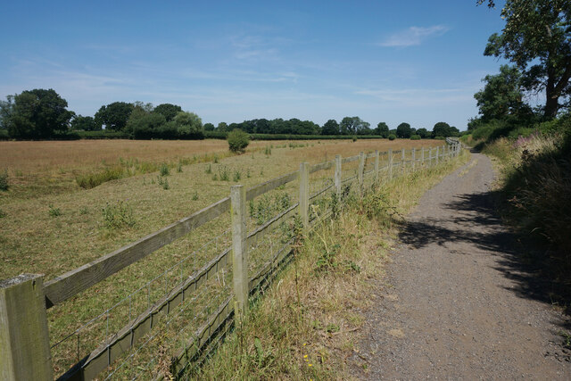
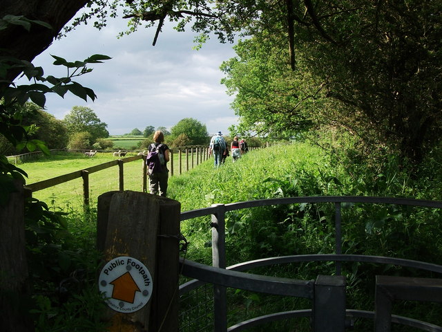
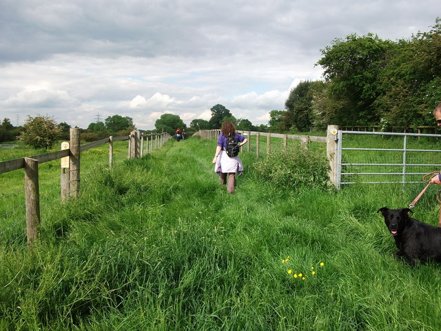
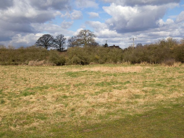
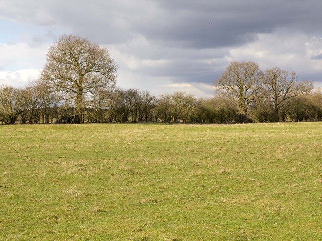
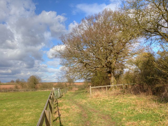
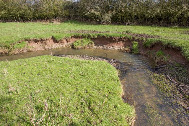
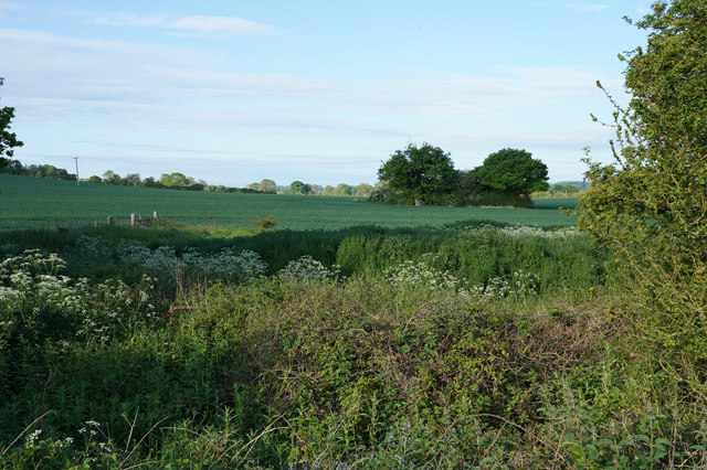
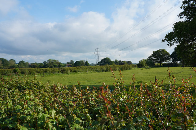
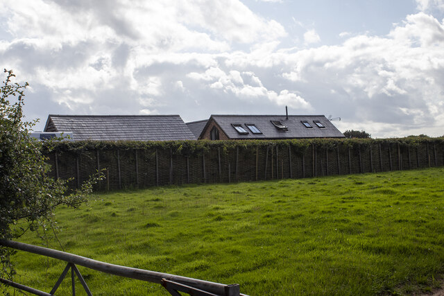
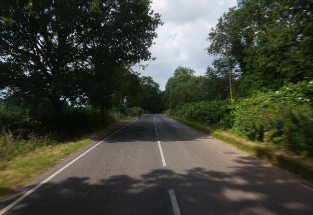
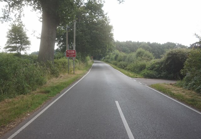
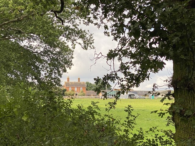
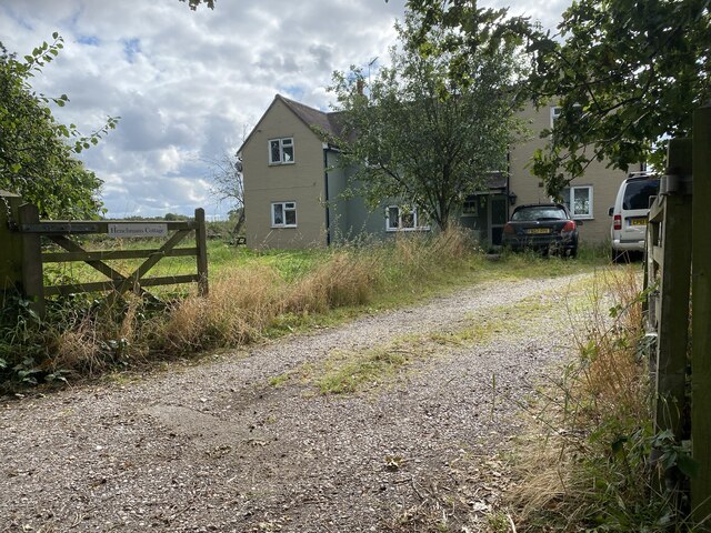
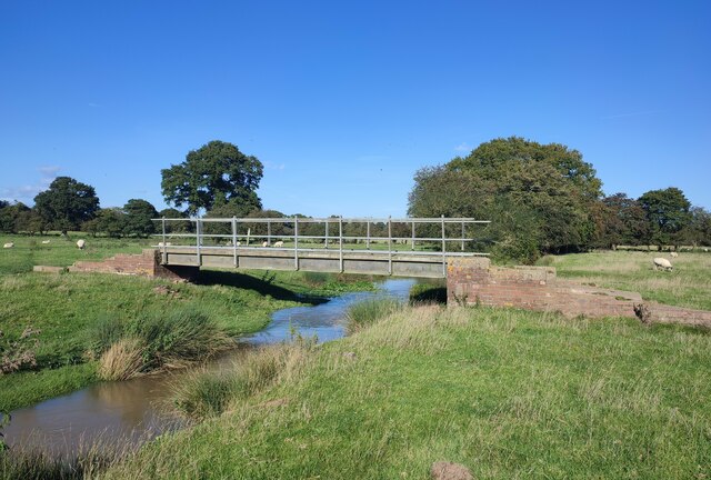
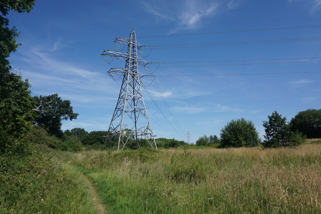
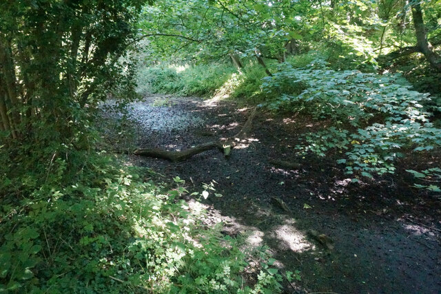
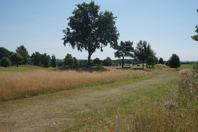
Leek Wootton and Guy's Cliffe Images

Images are sourced within 2km of 52.315154/-1.612865 or Grid Reference SP2668. Thanks to Geograph Open Source API. All images are credited.

Centenary Way towards Kenilworth Viewed during a heatwave and the vegetation is showing some signs. It is entirely flat until you get to Kenilworth. A yellowhammer settled on the path just along this stretch but I wasn't quick enough with my camera.
Centenary Way towards Kenilworth
Viewed during a heatwave and the vegetation is showing some signs. It is entirely flat until you get to Kenilworth. A yellowhammer settled on the path just along this stretch but I wasn't quick enough with my camera.
The path to the alpacas ! Heading north, the path is fenced off from several enclosures containing alpacas.
The path to the alpacas !
Heading north, the path is fenced off from several enclosures containing alpacas.
Fenced off path through alpaca farm The footpath continues north between two fenced enclosures. The right hand one was formerly the location of the timber cabin seen in Michael Dibb's photo <a href="https://www.geograph.org.uk/photo/1614660">SP2670 : Wooden house</a>. The house had been erected without planning permission and has now been removed.
Fenced off path through alpaca farm
The footpath continues north between two fenced enclosures. The right hand one was formerly the location of the timber cabin seen in Michael Dibb's photo SP2670 : Wooden house. The house had been erected without planning permission and has now been removed.
Pasture on Faerie-Tale Farm Looking WNW from the footpath to Bulloak Farm.
The building in the distance is part of Fernwood Farm in <a href="https://www.geograph.org.uk/gridref/SP2570">SP2570</a>.
Pasture on Faerie-Tale Farm
Looking WNW from the footpath to Bulloak Farm. The building in the distance is part of Fernwood Farm in SP2570.
Pasture by the footpath The footpath from Bulloak Farm to Faerie-Tale Farm passes through rough pasture at this point.
Pasture by the footpath
The footpath from Bulloak Farm to Faerie-Tale Farm passes through rough pasture at this point.
Footpath to Faerie-Tale Farm The footpath from Bulloak Farm to Faerie-Tale Farm.
Footpath to Faerie-Tale Farm
The footpath from Bulloak Farm to Faerie-Tale Farm.
Bank erosion, Inchford Brook The bank on the outside of the bend in the brook has been scoured away by flood water, causing a collapse. Conversely, sediment has been deposited on the inside of the bend. This process over time causes the brook to move its course, and to meander.
Bank erosion, Inchford Brook
The bank on the outside of the bend in the brook has been scoured away by flood water, causing a collapse. Conversely, sediment has been deposited on the inside of the bend. This process over time causes the brook to move its course, and to meander.
A field of wheat with wild plants around it The wild border to this field is much larger than normal. A good situation for wildlife, especially the birds that will use the seeds the plants produce for their food.
A field of wheat with wild plants around it
The wild border to this field is much larger than normal. A good situation for wildlife, especially the birds that will use the seeds the plants produce for their food.
Under the power lines Pylons cross this field carrying cables supplying the local towns and villages with electricity.
Under the power lines
Pylons cross this field carrying cables supplying the local towns and villages with electricity.
Kingstanding Farm Converted field barn opposite Kingstanding Farm, Kites Nest Lane
Kingstanding Farm
Converted field barn opposite Kingstanding Farm, Kites Nest Lane
Rouncil Lane towards Woodcote Lane
Woodcote Lane towards Leek Wotton
Roundshill Farm View across fields to Roundshill Farm.
Roundshill Farm
View across fields to Roundshill Farm.
Henchman’s Cottage
Henchman’s Cottage
Footbridge over Inchford Brook
Footpath to Kenilworth Part of the Centenary Way and Millennium Way long distance paths. The overhead cables are undertaking a right angle turn to get round the edge of Warwickshire Golf Club which is to the right.
Footpath to Kenilworth
Part of the Centenary Way and Millennium Way long distance paths. The overhead cables are undertaking a right angle turn to get round the edge of Warwickshire Golf Club which is to the right.
Dried up pond in Ash Plantation This is going the way of many longstanding ponds.
Dried up pond in Ash Plantation
This is going the way of many longstanding ponds.
Warwickshire Golf Club The course covers a large area. This part is on the western side near to Ash Plantation.
Warwickshire Golf Club
The course covers a large area. This part is on the western side near to Ash Plantation.
Show me another place!

Leek Wootton and Guy's Cliffe is located at Grid Ref: SP2668 (Lat: 52.315154, Lng: -1.612865)

Administrative County: Warwickshire

District: Warwick

Police Authority: Warwickshire

What 3 Words

///centrally.pocketed.insurance. Near Hatton, Warwickshire

Related Wikis

Leek Wootton and Guy's Cliffe

Leek Wootton & Guy's Cliffe is a civil parish in the Warwick District of Warwickshire, England. It was created when the smallest parish in England, Guy...

Warwick and Leamington (UK Parliament constituency)

Warwick and Leamington is a constituency represented in the House of Commons of the UK Parliament since the 2017 general election by Matt Western, of the...

Central Hospital, Hatton

Central Hospital was a psychiatric hospital located in Hatton, Warwickshire, England. == History == Building began in 1846 on a 42-acre (17 ha) site purchased...

Warwick Rural District

Warwick Rural District was a rural district of Warwickshire, England. It was created in 1894, and covered an area around, but not including, Warwick. It...

Leek Wootton

Leek Wootton is a village and former civil parish, now in the parish of Leek Wootton and Guy's Cliffe, in the Warwick district, in the county of Warwickshire...

Hatton, Warwickshire

Hatton is a village and civil parish about 4 miles (6 km) west-northwest of Warwick, in the Warwick District of Warwickshire in England. The parish had...

Hatton Locks

The Hatton Locks or Hatton Flight are a flight of 21 locks on the Grand Union Canal in Hatton, Warwickshire, England. The flight spans less than 2 miles...

Beausale, Haseley, Honiley and Wroxall

Beausale, Haseley, Honiley and Wroxall is a civil parish in the Warwick District of Warwickshire, England. It was created in 2007 by the merger of the...

Nearby Amenities

Located within 500m of 52.315154,-1.612865
Brand: National Grid
Brand Wikidata: Q1465461
Frequency: 50
Material: wood
Operator: National Grid Electricity Distribution
Operator Old: Western Power Distribution
Operator Wikidata: Q7988183
Owner: National Grid Electricity Distribution (East Midlands) Plc
Owner Wikidata: Q114348127
Power: pole
Ref: 931771
Source: wpd_opendata
Transformer: distribution
Voltage Primary: 11000
Voltage Secondary: 400
Lat/Long: 52.3182228/-1.6178589
The data included in this document is from www.openstreetmap.org. The data is made available under ODbL.

Have you been to Leek Wootton and Guy's Cliffe?

Leave your review of Leek Wootton and Guy's Cliffe below (or comments, questions and feedback).