Larch Covert

Wood, Forest in Warwickshire Warwick

England

Larch Covert

Centenary Way towards Kenilworth Viewed during a heatwave and the vegetation is showing some signs. It is entirely flat until you get to Kenilworth. A yellowhammer settled on the path just along this stretch but I wasn't quick enough with my camera.
Centenary Way towards Kenilworth Credit: Bill Boaden

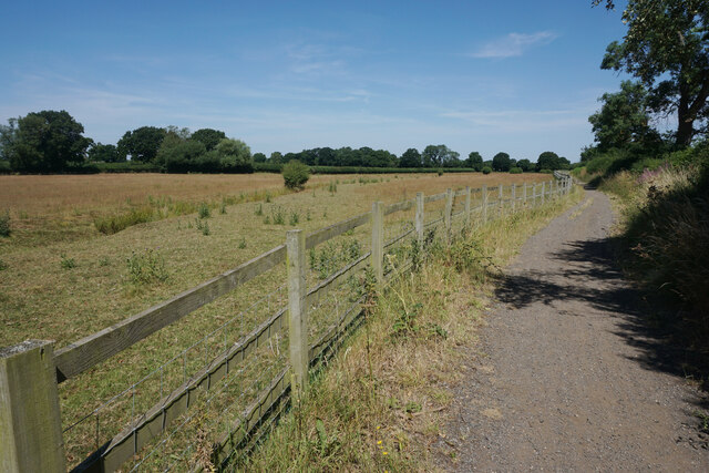
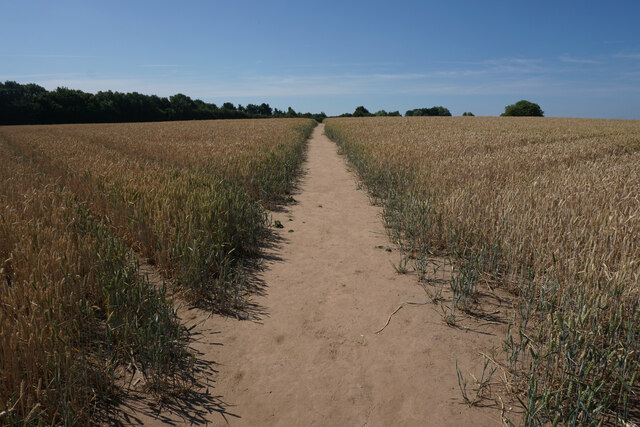
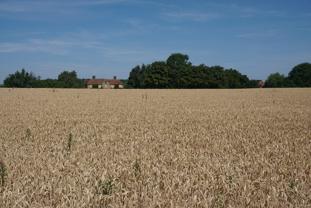
Larch Covert, located in Warwickshire, is a stunning woodland area characterized by its abundance of larch trees. Nestled in the heart of Warwickshire, this forested oasis offers a serene and picturesque setting for nature enthusiasts and visitors seeking a tranquil escape.

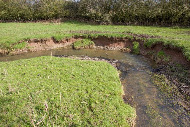
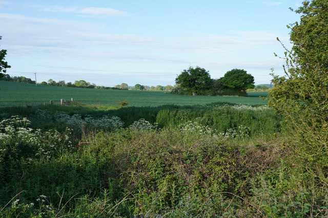
Stretching across acres of land, Larch Covert boasts a diverse range of flora and fauna. The dominant presence of larch trees creates a captivating sight, especially during autumn when the needles turn a vibrant golden color. The forest floor is carpeted with a variety of wildflowers, mosses, and ferns, adding to the enchanting atmosphere.

The woodland is a haven for wildlife, with numerous species calling Larch Covert their home. Birdwatchers can spot a wide range of avian species, including woodpeckers, owls, and various songbirds. Small mammals, such as squirrels and rabbits, can be observed scurrying through the undergrowth, while elusive deer make occasional appearances, adding to the allure of the forest.

Visitors to Larch Covert can enjoy leisurely walks along well-maintained trails, immersing themselves in the natural beauty that surrounds them. The forest is also a popular spot for picnics, offering designated areas with benches and tables for visitors to relax and enjoy the peaceful ambiance.

Throughout the seasons, Larch Covert offers a unique experience. In spring, the forest awakens with a burst of vibrant colors as flowers bloom and wildlife becomes more active. Summer brings lush green foliage, providing shade and relief from the sun. Autumn transforms the forest into a golden wonderland, while winter offers a serene and peaceful atmosphere with bare trees and a dusting of snow.

Larch Covert is a true gem in Warwickshire, inviting visitors to explore, unwind, and connect with nature in a truly captivating woodland setting.

If you have any feedback on the listing, please let us know in the comments section below.
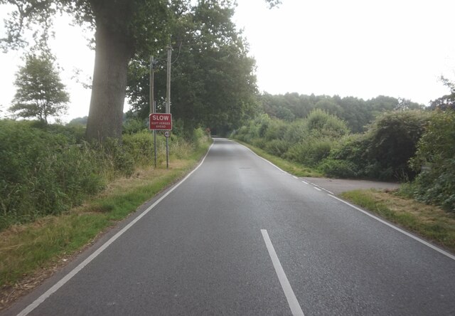
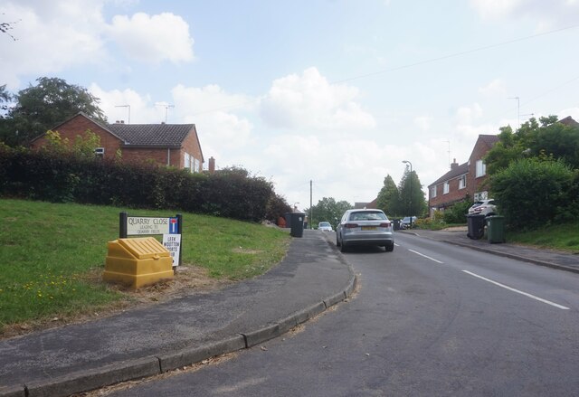
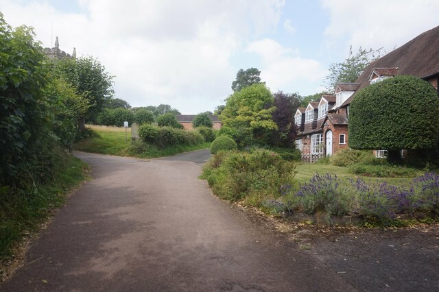
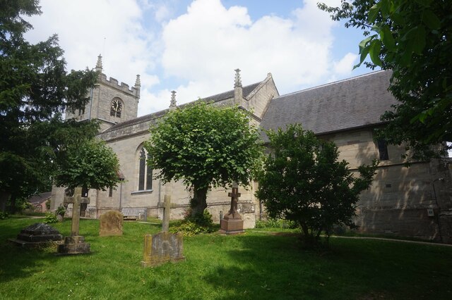
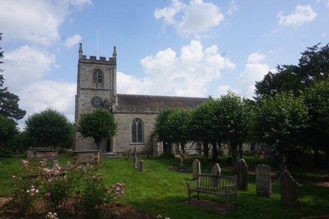
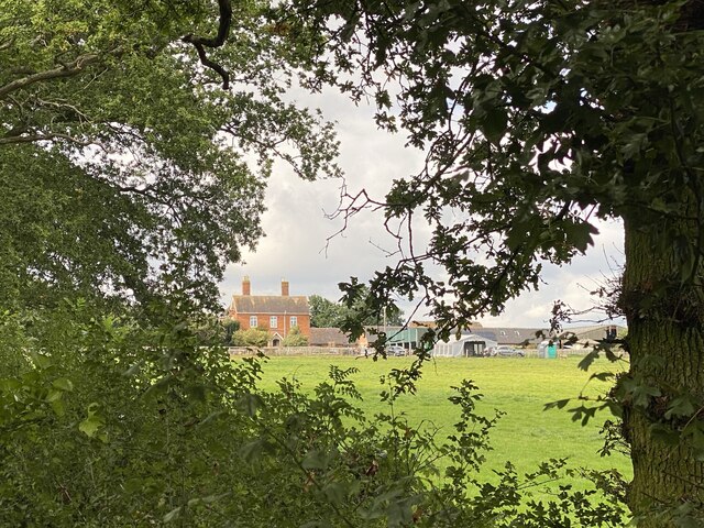
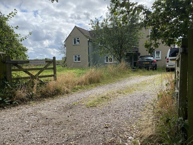
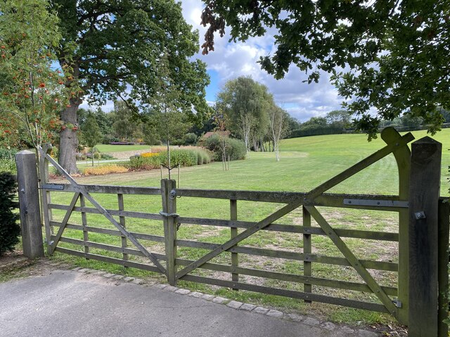
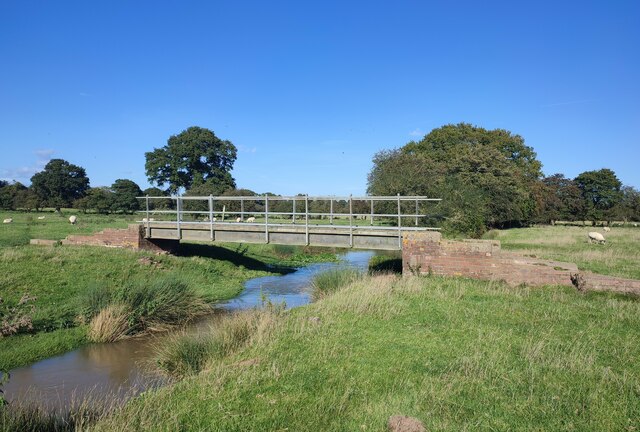
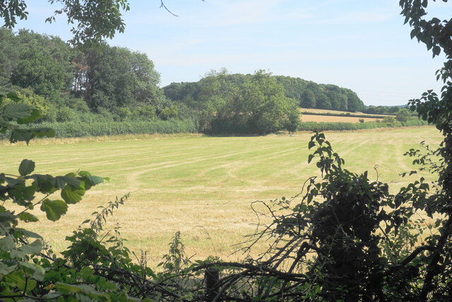
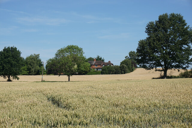
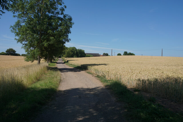
Larch Covert Images

Images are sourced within 2km of 52.313574/-1.605921 or Grid Reference SP2668. Thanks to Geograph Open Source API. All images are credited.

Centenary Way towards Kenilworth Viewed during a heatwave and the vegetation is showing some signs. It is entirely flat until you get to Kenilworth. A yellowhammer settled on the path just along this stretch but I wasn't quick enough with my camera.
Centenary Way towards Kenilworth
Viewed during a heatwave and the vegetation is showing some signs. It is entirely flat until you get to Kenilworth. A yellowhammer settled on the path just along this stretch but I wasn't quick enough with my camera.
Bank erosion, Inchford Brook The bank on the outside of the bend in the brook has been scoured away by flood water, causing a collapse. Conversely, sediment has been deposited on the inside of the bend. This process over time causes the brook to move its course, and to meander.
Bank erosion, Inchford Brook
The bank on the outside of the bend in the brook has been scoured away by flood water, causing a collapse. Conversely, sediment has been deposited on the inside of the bend. This process over time causes the brook to move its course, and to meander.
A field of wheat with wild plants around it The wild border to this field is much larger than normal. A good situation for wildlife, especially the birds that will use the seeds the plants produce for their food.
A field of wheat with wild plants around it
The wild border to this field is much larger than normal. A good situation for wildlife, especially the birds that will use the seeds the plants produce for their food.
Rouncil Lane towards Woodcote Lane
Woodcote Lane towards Leek Wotton
Quarry Close, Leek Wotton
Church Lane, Leek Wotton
All Saints Church, Leek Wotton
All Saints Church, Leek Wootton
Roundshill Farm View across fields to Roundshill Farm.
Roundshill Farm
View across fields to Roundshill Farm.
Henchman’s Cottage
Henchman’s Cottage
Gateway to Little Woodcote estate
Footbridge over Inchford Brook
Silage field by the A46 Seen through an infrequent gap in the foliage on Woodloes Lane.
Silage field by the A46
Seen through an infrequent gap in the foliage on Woodloes Lane.
Wheat field near Woodloes Farm In the background is housing near Middle Woodloes.
Wheat field near Woodloes Farm
In the background is housing near Middle Woodloes.
Track to Woodloes Farm The track is also a footpath, used by both the Millennium Way and the Centenary Way long distance paths.
Track to Woodloes Farm
The track is also a footpath, used by both the Millennium Way and the Centenary Way long distance paths.
Footpath near Woodloes Farm The path leads to the north western suburbs of Warwick. The Warwick Bypass runs behind the trees to the left.
Footpath near Woodloes Farm
The path leads to the north western suburbs of Warwick. The Warwick Bypass runs behind the trees to the left.
Wheat field by Woodloes Farm The building in view has been boarded up, though other farm buildings still seem to be in operation here. A former field boundary has disappeared.
Wheat field by Woodloes Farm
The building in view has been boarded up, though other farm buildings still seem to be in operation here. A former field boundary has disappeared.
Show me another place!

Larch Covert is located at Grid Ref: SP2668 (Lat: 52.313574, Lng: -1.605921)

Administrative County: Warwickshire

District: Warwick

Police Authority: Warwickshire

What 3 Words

///pouch.thanks.interview. Near Leek Wootton, Warwickshire

Related Wikis

Leek Wootton and Guy's Cliffe

Leek Wootton & Guy's Cliffe is a civil parish in the Warwick District of Warwickshire, England. It was created when the smallest parish in England, Guy...

Warwick and Leamington (UK Parliament constituency)

Warwick and Leamington is a constituency represented in the House of Commons of the UK Parliament since the 2017 general election by Matt Western, of the...

Warwick Rural District

Warwick Rural District was a rural district of Warwickshire, England. It was created in 1894, and covered an area around, but not including, Warwick. It...

Leek Wootton

Leek Wootton is a village and former civil parish, now in the parish of Leek Wootton and Guy's Cliffe, in the Warwick district, in the county of Warwickshire...

Central Hospital, Hatton

Central Hospital was a psychiatric hospital located in Hatton, Warwickshire, England. == History == Building began in 1846 on a 42-acre (17 ha) site purchased...

Warwick International School of Riding

The Warwick International School of Riding is a school of equitation (horsemanship), located just north of Warwick, Warwickshire, England. The school caters...
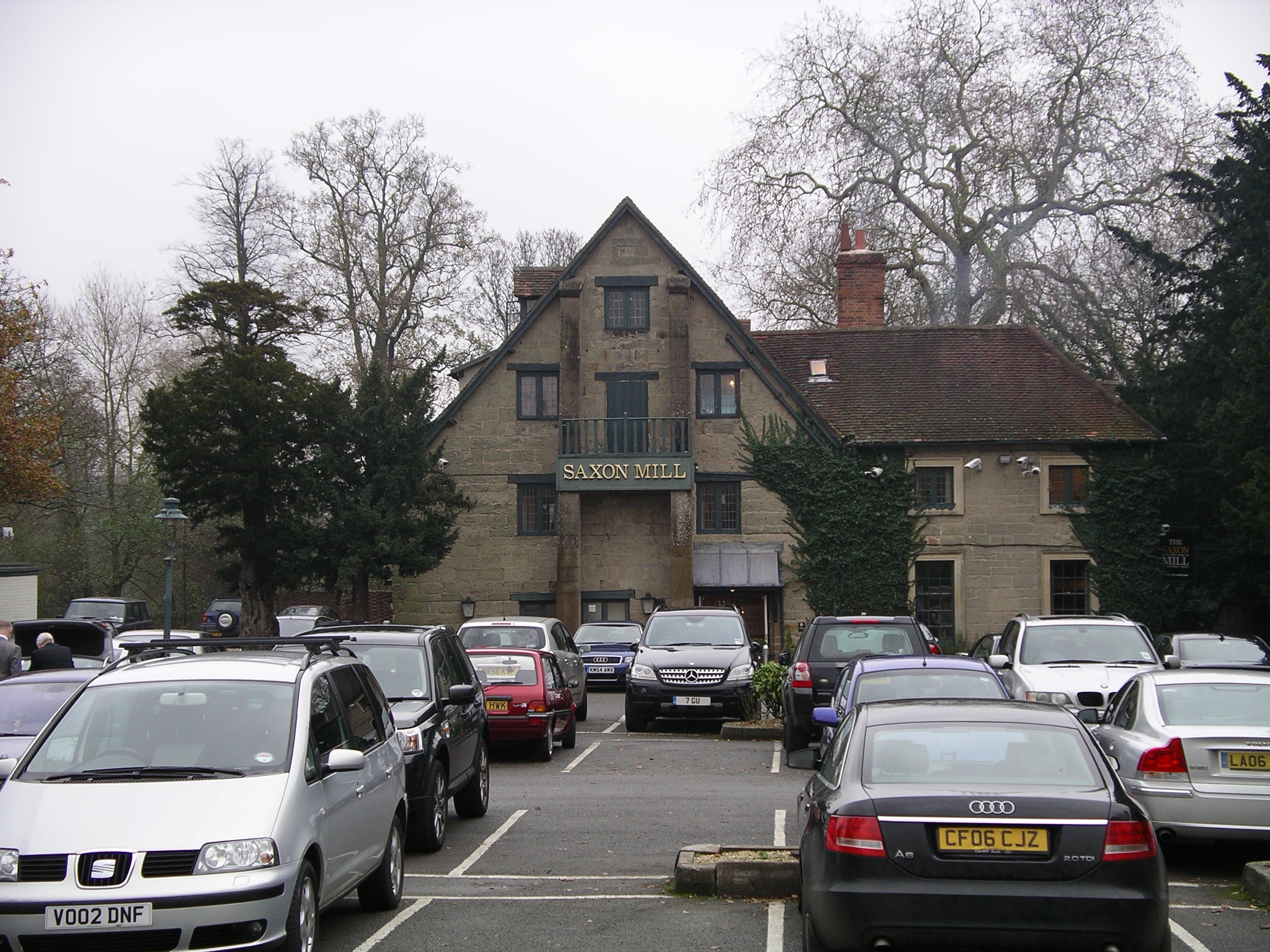
Saxon Mill

The Saxon Mill is a former mill at Guy's Cliffe, Warwickshire, England, situated about one mile northeast of the town of Warwick. It is now a restaurant...

Guy's Cliffe

Guy's Cliffe (variously spelled with and without an apostrophe and a final "e") is a hamlet and former civil parish on the River Avon and the Coventry...

Nearby Amenities

Located within 500m of 52.313574,-1.605921
Brand: National Grid
Brand Wikidata: Q1465461
Material: metal
Operator: National Grid Electricity Distribution
Operator Old: Western Power Distribution
Operator Wikidata: Q7988183
Owner: National Grid Electricity Distribution (East Midlands) Plc
Owner Wikidata: Q114348127
Power: tower
Lat/Long: 52.3147899/-1.6029837
Brand: National Grid
Brand Wikidata: Q1465461
Material: metal
Operator: National Grid Electricity Distribution
Operator Old: Western Power Distribution
Operator Wikidata: Q7988183
Owner: National Grid Electricity Distribution (East Midlands) Plc
Owner Wikidata: Q114348127
Power: tower
Lat/Long: 52.3171383/-1.6047409
The data included in this document is from www.openstreetmap.org. The data is made available under ODbL.

Have you been to Larch Covert?

Leave your review of Larch Covert below (or comments, questions and feedback).