Deer Park Wood

Wood, Forest in Warwickshire Warwick

England

Deer Park Wood

Bank erosion, Inchford Brook The bank on the outside of the bend in the brook has been scoured away by flood water, causing a collapse. Conversely, sediment has been deposited on the inside of the bend. This process over time causes the brook to move its course, and to meander.
Bank erosion, Inchford Brook Credit: David P Howard

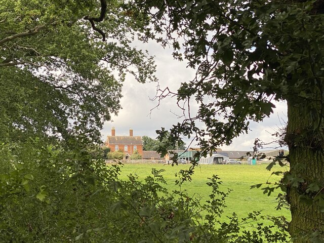
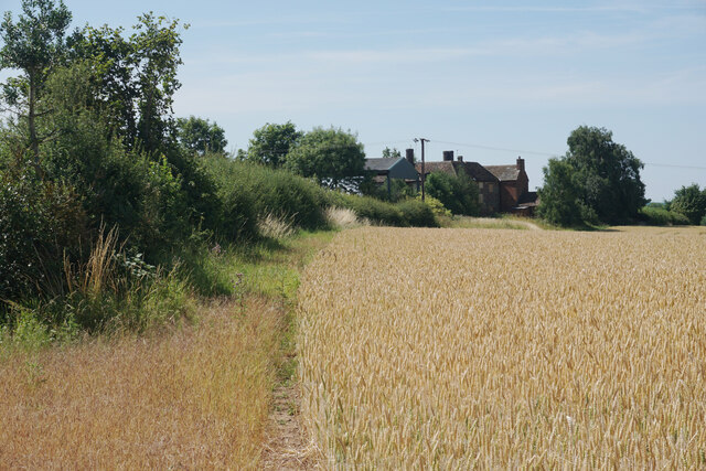
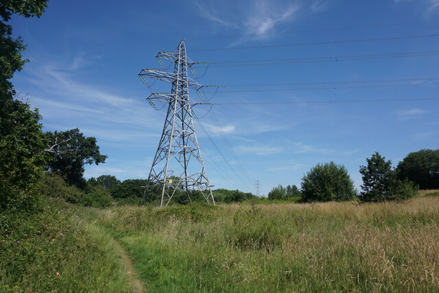
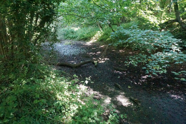
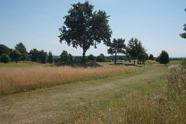
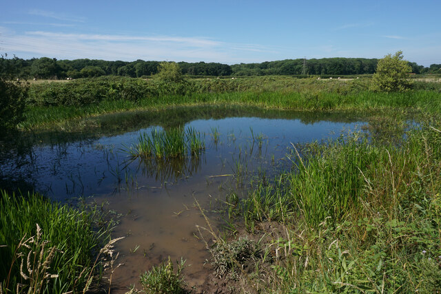
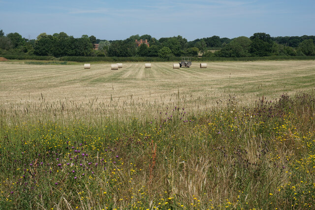
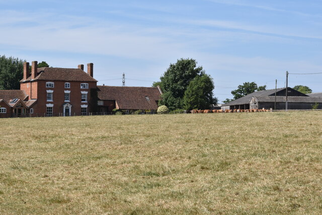
Deer Park Wood is a pristine woodland located in Warwickshire, England. Spanning over an area of approximately 100 acres, it is a natural haven boasting a diverse range of flora and fauna. The wood is situated within the larger Deer Park, a historically significant site that was once used as a hunting ground for deer by the nobility.

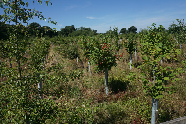
The wood is predominantly composed of deciduous trees, including oak, ash, birch, and beech. These towering trees provide a dense canopy that filters sunlight, creating a cool and tranquil atmosphere within. The forest floor is adorned with a rich carpet of wildflowers, ferns, and mosses, adding to the wood's enchanting charm.

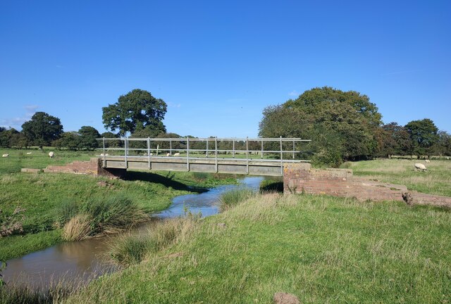
As the name suggests, Deer Park Wood is home to a variety of wildlife, including the majestic red deer. These magnificent creatures can often be spotted grazing peacefully beneath the trees, adding a touch of natural beauty to the landscape. Other wildlife that can be found in the wood includes foxes, badgers, rabbits, and a wide array of bird species.

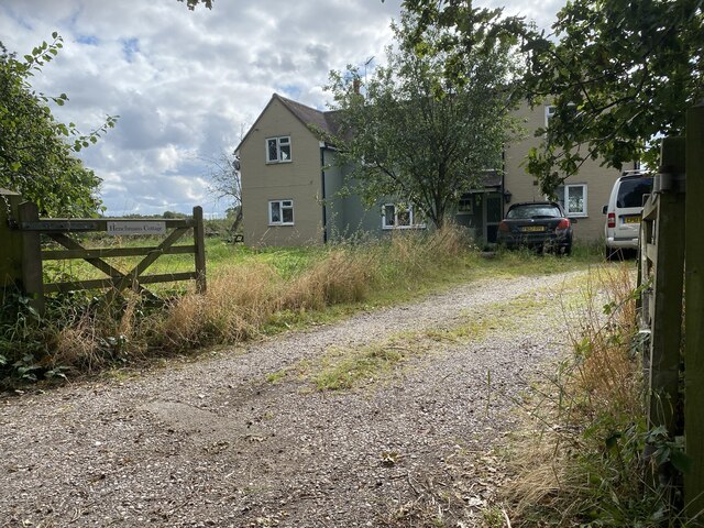
The wood is a popular destination for nature enthusiasts, hikers, and photographers who are drawn to its scenic beauty and the unique opportunity to observe wildlife in their natural habitat. Several walking trails crisscross the area, allowing visitors to explore the wood's many hidden gems.

Deer Park Wood is not only a place of natural beauty but also holds historical significance. With its ancient trees and peaceful ambiance, it provides a glimpse into the rich cultural and natural heritage of Warwickshire.

If you have any feedback on the listing, please let us know in the comments section below.

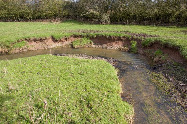
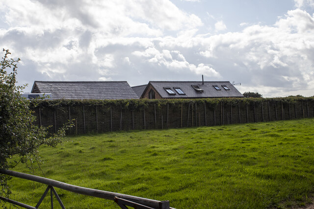
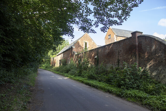
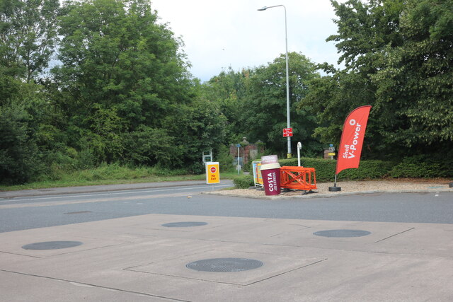
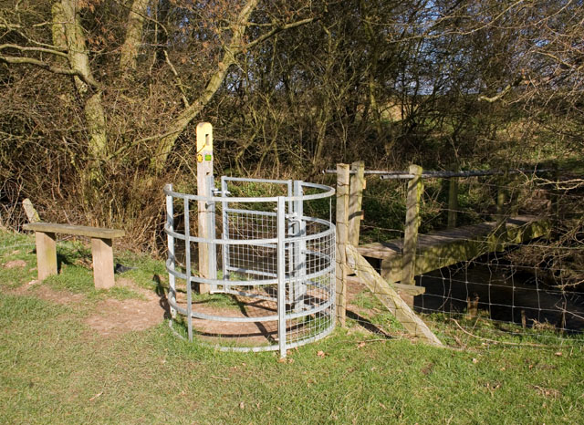
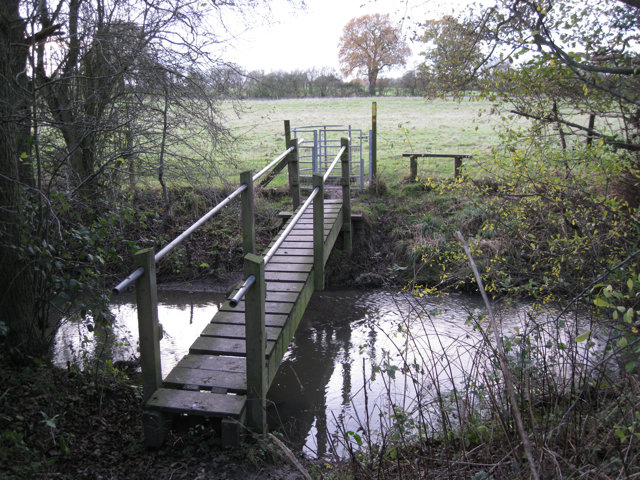
Deer Park Wood Images

Images are sourced within 2km of 52.311376/-1.6156508 or Grid Reference SP2668. Thanks to Geograph Open Source API. All images are credited.

Bank erosion, Inchford Brook The bank on the outside of the bend in the brook has been scoured away by flood water, causing a collapse. Conversely, sediment has been deposited on the inside of the bend. This process over time causes the brook to move its course, and to meander.
Bank erosion, Inchford Brook
The bank on the outside of the bend in the brook has been scoured away by flood water, causing a collapse. Conversely, sediment has been deposited on the inside of the bend. This process over time causes the brook to move its course, and to meander.
Kingstanding Farm Converted field barn opposite Kingstanding Farm, Kites Nest Lane
Kingstanding Farm
Converted field barn opposite Kingstanding Farm, Kites Nest Lane
Lower Farm Converted vernacular farm buildings at Lower Farm
Lower Farm
Converted vernacular farm buildings at Lower Farm
Shell petrol forecourt on Birmingham Road, Hatton
Roundshill Farm View across fields to Roundshill Farm.
Roundshill Farm
View across fields to Roundshill Farm.
Henchman’s Cottage
Henchman’s Cottage
Footbridge over Inchford Brook
Woodloes Farm Some of the buildings are boarded up and falling into disrepair.
Woodloes Farm
Some of the buildings are boarded up and falling into disrepair.
Footpath to Kenilworth Part of the Centenary Way and Millennium Way long distance paths. The overhead cables are undertaking a right angle turn to get round the edge of Warwickshire Golf Club which is to the right.
Footpath to Kenilworth
Part of the Centenary Way and Millennium Way long distance paths. The overhead cables are undertaking a right angle turn to get round the edge of Warwickshire Golf Club which is to the right.
Dried up pond in Ash Plantation This is going the way of many longstanding ponds.
Dried up pond in Ash Plantation
This is going the way of many longstanding ponds.
Warwickshire Golf Club The course covers a large area. This part is on the western side near to Ash Plantation.
Warwickshire Golf Club
The course covers a large area. This part is on the western side near to Ash Plantation.
Pond by the Centenary Way This is part of the protected strip by the edge of a field, maintaining a wildlife refuge.
Pond by the Centenary Way
This is part of the protected strip by the edge of a field, maintaining a wildlife refuge.
Hay bales being collected In the foreground is a wildflower margin. Goodrest Farm is seen in the trees behind.
Hay bales being collected
In the foreground is a wildflower margin. Goodrest Farm is seen in the trees behind.
Goodrest Farm Viewed from the nearby Centenary Way. The house is Grade II listed, dating from 1784.
Goodrest Farm
Viewed from the nearby Centenary Way. The house is Grade II listed, dating from 1784.
Banner Hill Camp A former anti-aircraft gun site from 1941 to 1944, and then a POW camp from 1944 to 1945.
Banner Hill Camp
A former anti-aircraft gun site from 1941 to 1944, and then a POW camp from 1944 to 1945.
Orchard off Rouncil Lane Producing a variety of fruits.
Orchard off Rouncil Lane
Producing a variety of fruits.
Walker's bridge in Beausale Gate and bridge for walkers across Inchford brook between Bulloak Farm and Rouncil Lane.
Walker's bridge in Beausale
Gate and bridge for walkers across Inchford brook between Bulloak Farm and Rouncil Lane.
Footbridge over Inchford Brook near Rouncil Lane This is the same footbridge and furniture as in <a href="https://www.geograph.org.uk/photo/759518">SP2670 : Walker's bridge in Beausale</a>
Footbridge over Inchford Brook near Rouncil Lane
This is the same footbridge and furniture as in SP2670 : Walker's bridge in Beausale
Show me another place!

Deer Park Wood is located at Grid Ref: SP2668 (Lat: 52.311376, Lng: -1.6156508)

Administrative County: Warwickshire

District: Warwick

Police Authority: Warwickshire

What 3 Words

///inspected.eyepieces.afflicted. Near Hatton, Warwickshire

Related Wikis

Warwick and Leamington (UK Parliament constituency)

Warwick and Leamington is a constituency represented in the House of Commons of the UK Parliament since the 2017 general election by Matt Western, of the...

Central Hospital, Hatton

Central Hospital was a psychiatric hospital located in Hatton, Warwickshire, England. == History == Building began in 1846 on a 42-acre (17 ha) site purchased...

Leek Wootton and Guy's Cliffe

Leek Wootton & Guy's Cliffe is a civil parish in the Warwick District of Warwickshire, England. It was created when the smallest parish in England, Guy...

Warwick Rural District

Warwick Rural District was a rural district of Warwickshire, England. It was created in 1894, and covered an area around, but not including, Warwick. It...

Hatton, Warwickshire

Hatton is a village and civil parish about 4 miles (6 km) west-northwest of Warwick, in the Warwick District of Warwickshire in England. The parish had...

Hatton Locks

The Hatton Locks or Hatton Flight are a flight of 21 locks on the Grand Union Canal in Hatton, Warwickshire, England. The flight spans less than 2 miles...

Leek Wootton

Leek Wootton is a village and former civil parish, now in the parish of Leek Wootton and Guy's Cliffe, in the Warwick district, in the county of Warwickshire...

Saltisford Canal Arm

The Saltisford Canal Arm is a short stretch of canal located in the town of Warwick, Warwickshire, England. Opened in the 1790s, originally it wasn't an...

Have you been to Deer Park Wood?

Leave your review of Deer Park Wood below (or comments, questions and feedback).