Rams Carr
Wood, Forest in Derbyshire Derbyshire Dales
England
Rams Carr

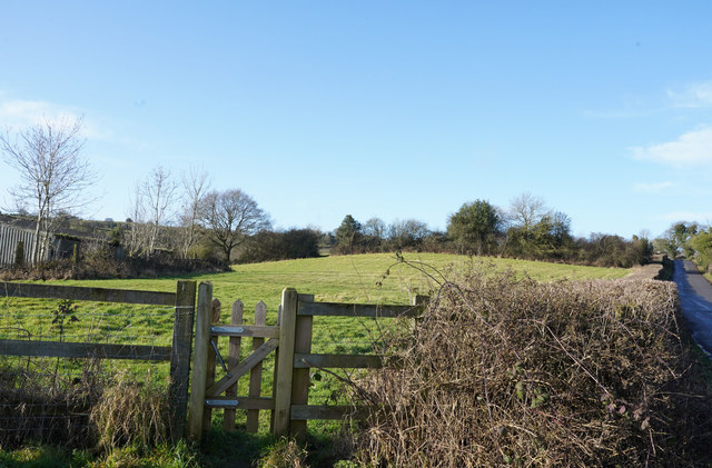
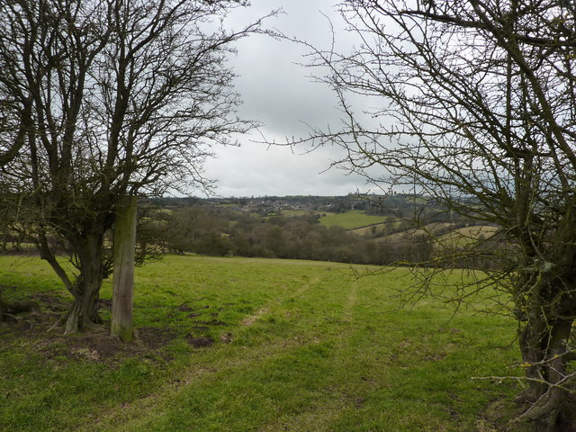
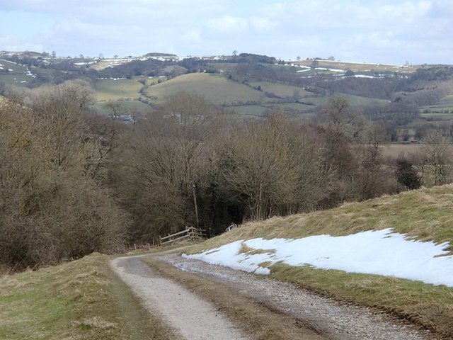
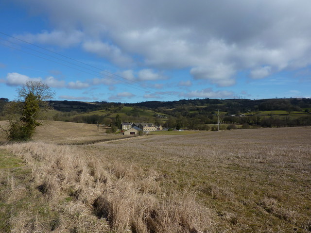
Rams Carr is a picturesque woodland area located in the county of Derbyshire, England. Situated in the heart of the Peak District National Park, Rams Carr is known for its abundant natural beauty and tranquil surroundings.
Covering an area of approximately 100 acres, Rams Carr is primarily composed of dense forests and woodlands. The area is characterized by a variety of tree species, including oak, birch, and beech, which create a lush and vibrant canopy overhead. The forest floor is adorned with a rich carpet of mosses, ferns, and wildflowers, creating a stunning display of colors throughout the seasons.
The woodlands of Rams Carr are home to a diverse range of wildlife, making it a popular destination for nature enthusiasts and birdwatchers. Visitors may have the opportunity to spot various species of birds, such as woodpeckers, owls, and songbirds, as well as mammals like deer, squirrels, and foxes.
The tranquil atmosphere of Rams Carr makes it an ideal location for leisurely walks and hikes. There are several well-maintained trails that wind through the woods, allowing visitors to explore the area at their own pace. These trails offer stunning views of the surrounding countryside, with glimpses of rolling hills and meandering streams.
Rams Carr is a true gem in the Derbyshire countryside, offering a peaceful retreat for those seeking solace in nature. Its natural beauty and diverse wildlife make it a must-visit destination for anyone exploring the Peak District region.
If you have any feedback on the listing, please let us know in the comments section below.
Rams Carr Images
Images are sourced within 2km of 53.058195/-1.5991202 or Grid Reference SK2651. Thanks to Geograph Open Source API. All images are credited.


Rams Carr is located at Grid Ref: SK2651 (Lat: 53.058195, Lng: -1.5991202)
Administrative County: Derbyshire
District: Derbyshire Dales
Police Authority: Derbyshire
What 3 Words
///repeats.node.slowly. Near Wirksworth, Derbyshire
Nearby Locations
Related Wikis

Kirk Ireton
Kirk Ireton is a village and civil parish in Derbyshire, England, 4 miles (6.4 km) southwest of Wirksworth on a hillside near Carsington Water, 700 feet...

Callow, Derbyshire
Callow is a village and a civil parish in the Derbyshire Dales District, in the English county of Derbyshire. At the 2011 Census the population of the...

Holy Trinity Church, Kirk Ireton
Holy Trinity Church, Kirk Ireton, is a Grade I listed parish church in the Church of England in Kirk Ireton, Derbyshire. == History == The church dates...

Dream Cave
Dream Cave (sometimes called Dream Hole or Dream Mine) is a natural limestone cavern located near Wirksworth in Derbyshire, England. It was discovered...

Haarlem Mill
Haarlem Mill, on the River Ecclesbourne in Wirksworth, Derbyshire, was an early cotton mill. Built by Richard Arkwright, it was the first cotton mill in...
Alderwasley Hall Sixth Form Centre
Alderwasley Hall Sixth Form is an independent special needs Sixth Form Centre located one mile south of Wirksworth in Derbyshire it is part of Alderwasley...
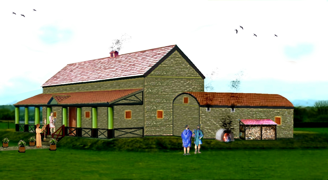
Carsington Roman Villa
The Carsington Roman Villa is a Roman villa at Scow Brook, Carsington near Wirksworth, Derbyshire, England. The site of the villa is currently submerged...

Carsington Water
Carsington Water is a reservoir, operated by Severn Trent Water, between Wirksworth and Kniveton in Derbyshire, England. The reservoir takes water from...
Nearby Amenities
Located within 500m of 53.058195,-1.5991202Have you been to Rams Carr?
Leave your review of Rams Carr below (or comments, questions and feedback).