Carsington Water
Lake, Pool, Pond, Freshwater Marsh in Derbyshire Derbyshire Dales
England
Carsington Water

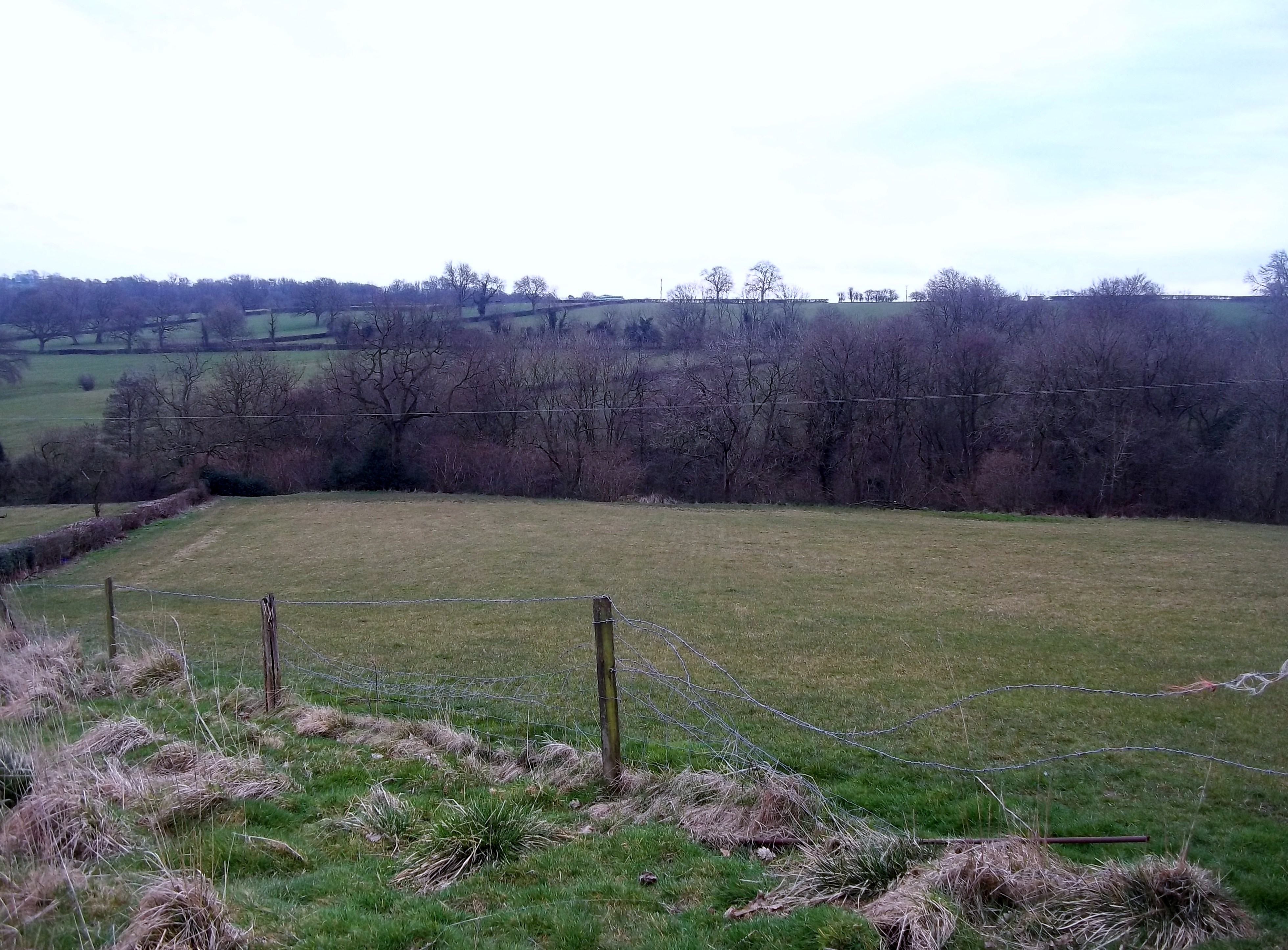
Carsington Water is a large reservoir located in Derbyshire, England. It was created in the late 20th century as part of a water management scheme for the region. The reservoir covers an area of approximately 200 hectares and has a capacity of around 35,000 megalitres.
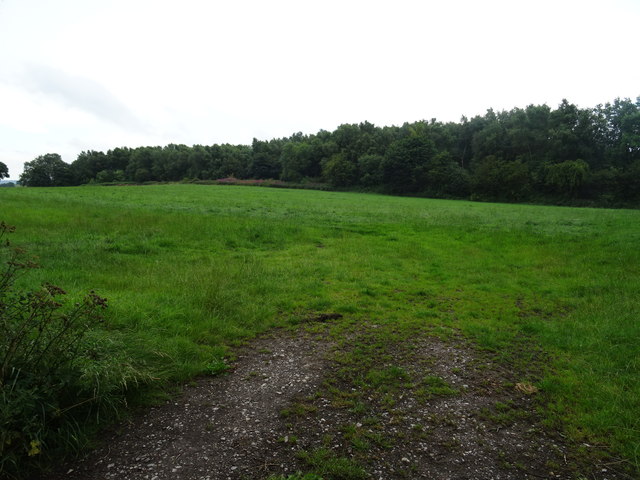
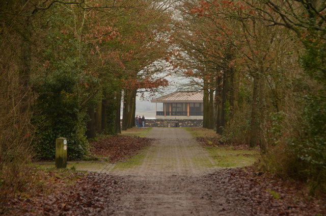
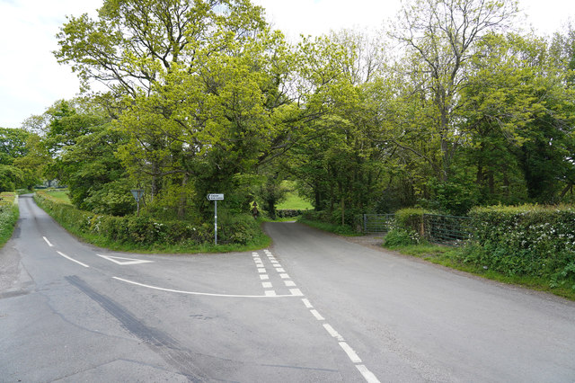
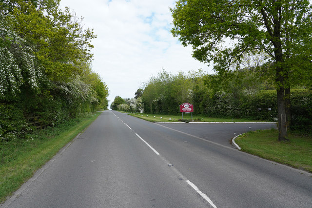
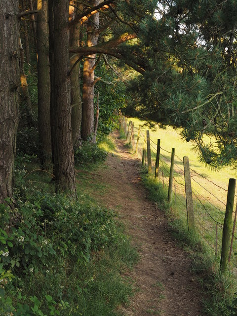
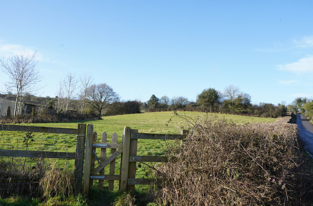
Carsington Water is a popular destination for both locals and tourists, offering a range of recreational activities. The reservoir is surrounded by picturesque countryside, making it an ideal spot for walking, cycling, and picnicking. There are several walking trails that provide stunning views of the water and the surrounding landscape.
Water sports enthusiasts are drawn to Carsington Water due to its large expanse of open water. Sailing, windsurfing, kayaking, and canoeing are all popular activities here. The reservoir also has a designated area for anglers, with a variety of fish species including trout, perch, and pike.
The site is not just about the water itself, but also the surrounding habitats. Carsington Water is home to a diverse range of wildlife, including various bird species such as swans, ducks, and herons. The freshwater marshes provide an important habitat for many plants and animals, making it a great place for birdwatching and nature enthusiasts.
In addition to its recreational and ecological value, Carsington Water has also become an important educational and research site. The Visitor Centre offers educational programs and exhibitions to teach visitors about water conservation and the local environment.
Overall, Carsington Water is a beautiful and vibrant location that offers a range of activities for visitors to enjoy, while also providing important habitats for wildlife.
If you have any feedback on the listing, please let us know in the comments section below.
Carsington Water Images
Images are sourced within 2km of 53.055743/-1.6135255 or Grid Reference SK2651. Thanks to Geograph Open Source API. All images are credited.


Carsington Water is located at Grid Ref: SK2651 (Lat: 53.055743, Lng: -1.6135255)
Administrative County: Derbyshire
District: Derbyshire Dales
Police Authority: Derbyshire
What 3 Words
///flotation.pampered.rockets. Near Wirksworth, Derbyshire
Nearby Locations
Related Wikis

Kirk Ireton
Kirk Ireton is a village and civil parish in Derbyshire, England, 4 miles (6.4 km) southwest of Wirksworth on a hillside near Carsington Water, 700 feet...

Carsington Water
Carsington Water is a reservoir, operated by Severn Trent Water, between Wirksworth and Kniveton in Derbyshire, England. The reservoir takes water from...

Callow, Derbyshire
Callow is a village and a civil parish in the Derbyshire Dales District, in the English county of Derbyshire. At the 2011 Census the population of the...

Holy Trinity Church, Kirk Ireton
Holy Trinity Church, Kirk Ireton, is a Grade I listed parish church in the Church of England in Kirk Ireton, Derbyshire. == History == The church dates...
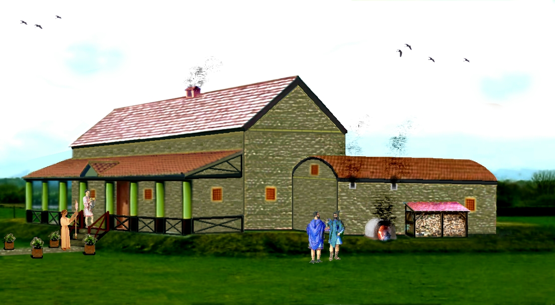
Carsington Roman Villa
The Carsington Roman Villa is a Roman villa at Scow Brook, Carsington near Wirksworth, Derbyshire, England. The site of the villa is currently submerged...
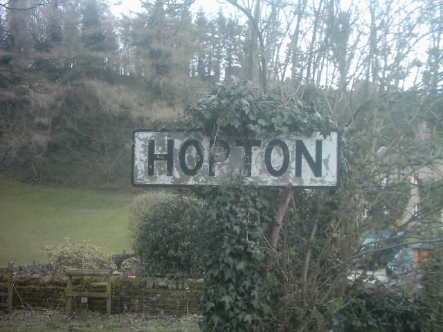
Hopton, Derbyshire
Hopton is a small village adjacent to the village of Carsington and two miles from the market town of Wirksworth in the Peak District. Evidence of humans...
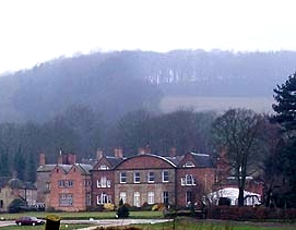
Hopton Hall
Hopton Hall is an 18th-century country house at Hopton, near Wirksworth, Derbyshire. It is a Grade II listed building. The Manor of Hopton, anciently the...
Sheep Hills, Derbyshire
Sheep Hills is a place near Biggin in Derbyshire, United Kingdom. It is mainly a rural area, its geographical context is described as farm, grassland and...
Nearby Amenities
Located within 500m of 53.055743,-1.6135255Have you been to Carsington Water?
Leave your review of Carsington Water below (or comments, questions and feedback).