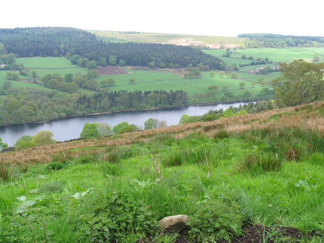
Agden Reservoir
Lake, Pool, Pond, Freshwater Marsh in Yorkshire
England
Agden Reservoir
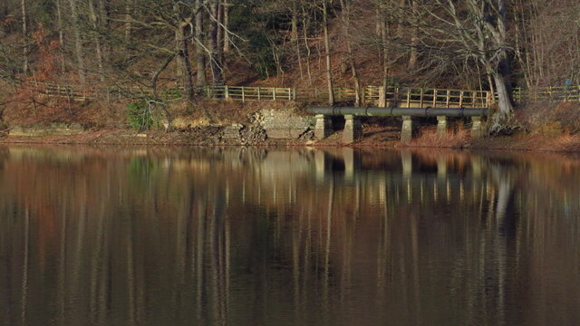
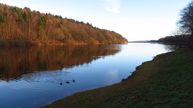
Agden Reservoir is a picturesque body of water located in the county of Yorkshire, England. It is classified as a reservoir, serving the purpose of storing freshwater for public use. The reservoir is situated in the beautiful Peak District National Park, nestled among rolling hills and surrounded by breathtaking natural scenery.
Covering an area of approximately 50 acres, Agden Reservoir is a relatively small body of water. It is fed by several streams and springs that flow down from the nearby moorland. The reservoir is primarily used to supply water to the local communities and is managed by the Yorkshire Water company.
The calm, crystal-clear waters of Agden Reservoir offer a tranquil setting for visitors to enjoy various recreational activities. Fishing is a popular pastime here, with the reservoir being well-stocked with a variety of fish species, including brown trout and rainbow trout. Anglers can be spotted casting their lines from the banks or from small fishing boats.
Surrounding the reservoir, there is a network of footpaths and trails that provide opportunities for walking and hiking. The area is a haven for nature enthusiasts, as it is home to a diverse range of bird species and other wildlife. The marshy areas around the reservoir support a variety of freshwater plants and provide habitat for waterfowl.
Overall, Agden Reservoir offers a peaceful escape from the hustle and bustle of everyday life. Whether it's fishing, walking, birdwatching, or simply enjoying the serenity of the surroundings, visitors can immerse themselves in the natural beauty of this Yorkshire gem.
If you have any feedback on the listing, please let us know in the comments section below.
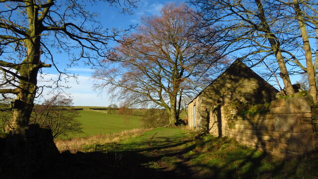
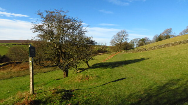
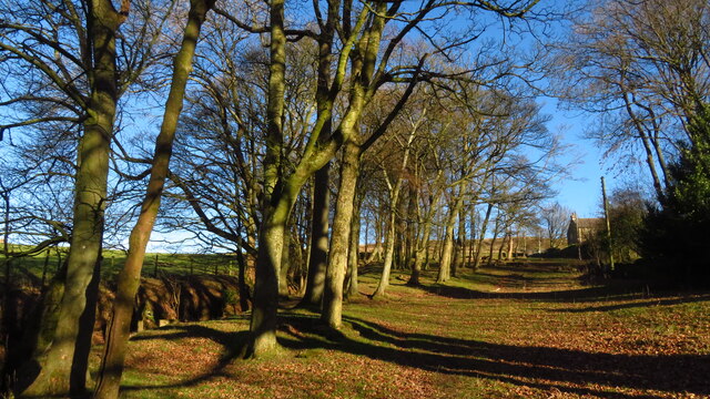
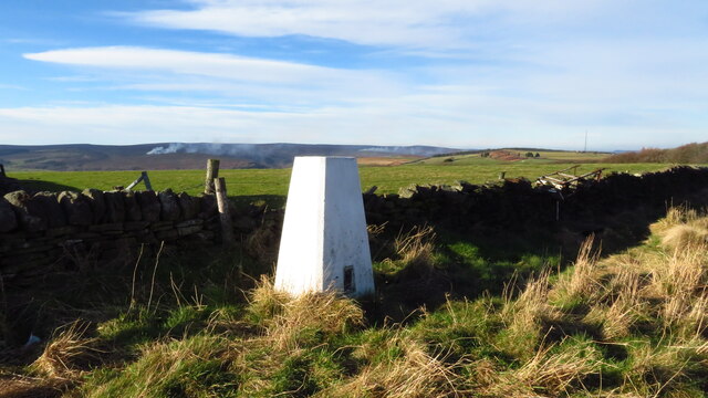
Agden Reservoir Images
Images are sourced within 2km of 53.429407/-1.6099662 or Grid Reference SK2692. Thanks to Geograph Open Source API. All images are credited.


Agden Reservoir is located at Grid Ref: SK2692 (Lat: 53.429407, Lng: -1.6099662)
Division: West Riding
Unitary Authority: Sheffield
Police Authority: South Yorkshire
What 3 Words
///composers.rent.curve. Near Bradfield, South Yorkshire
Nearby Locations
Related Wikis

Agden Reservoir
Agden Reservoir is a water storage reservoir, situated at grid reference SK260925, 6.5 miles (10 km) west of the centre of Sheffield, South Yorkshire,...
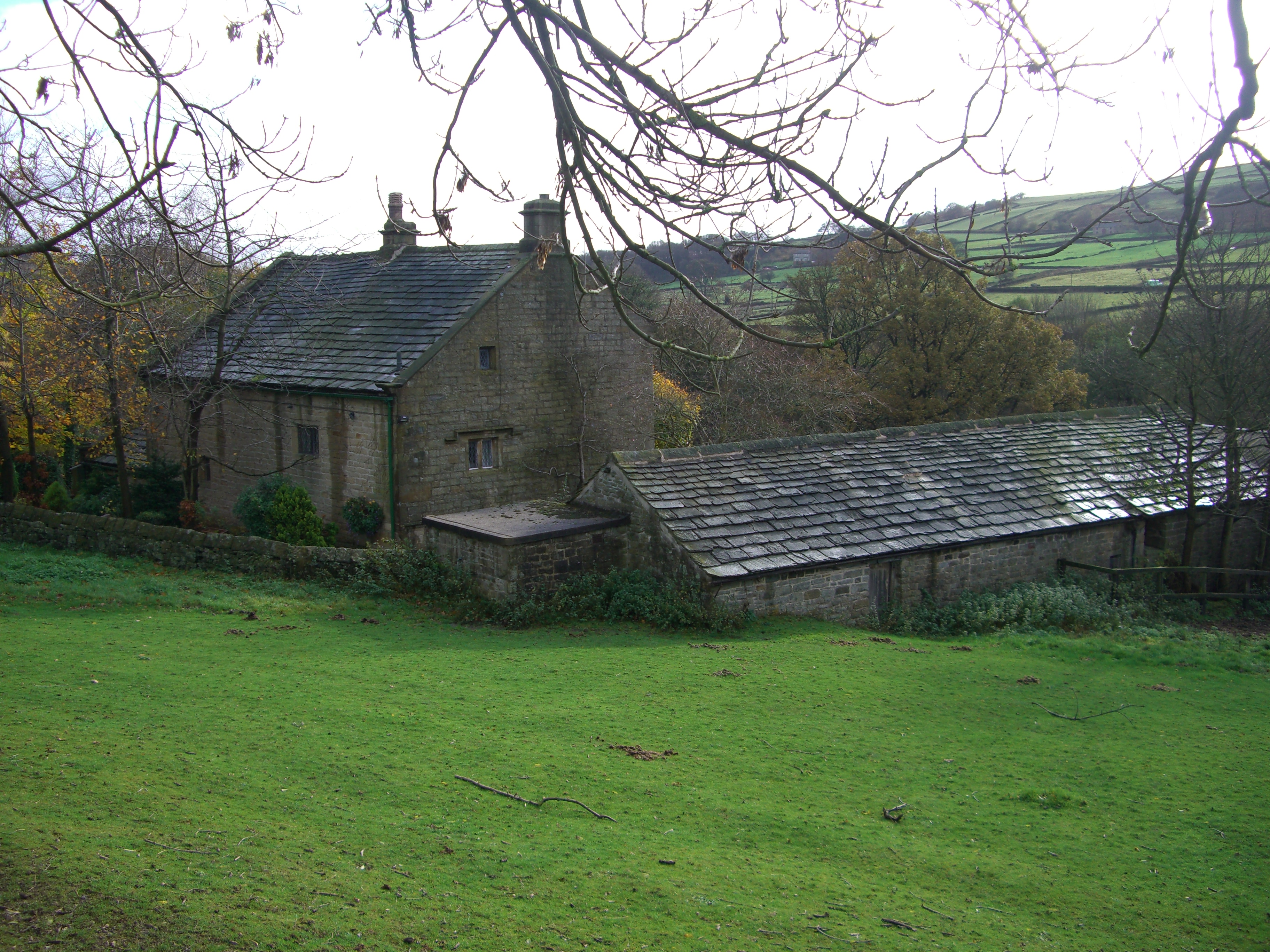
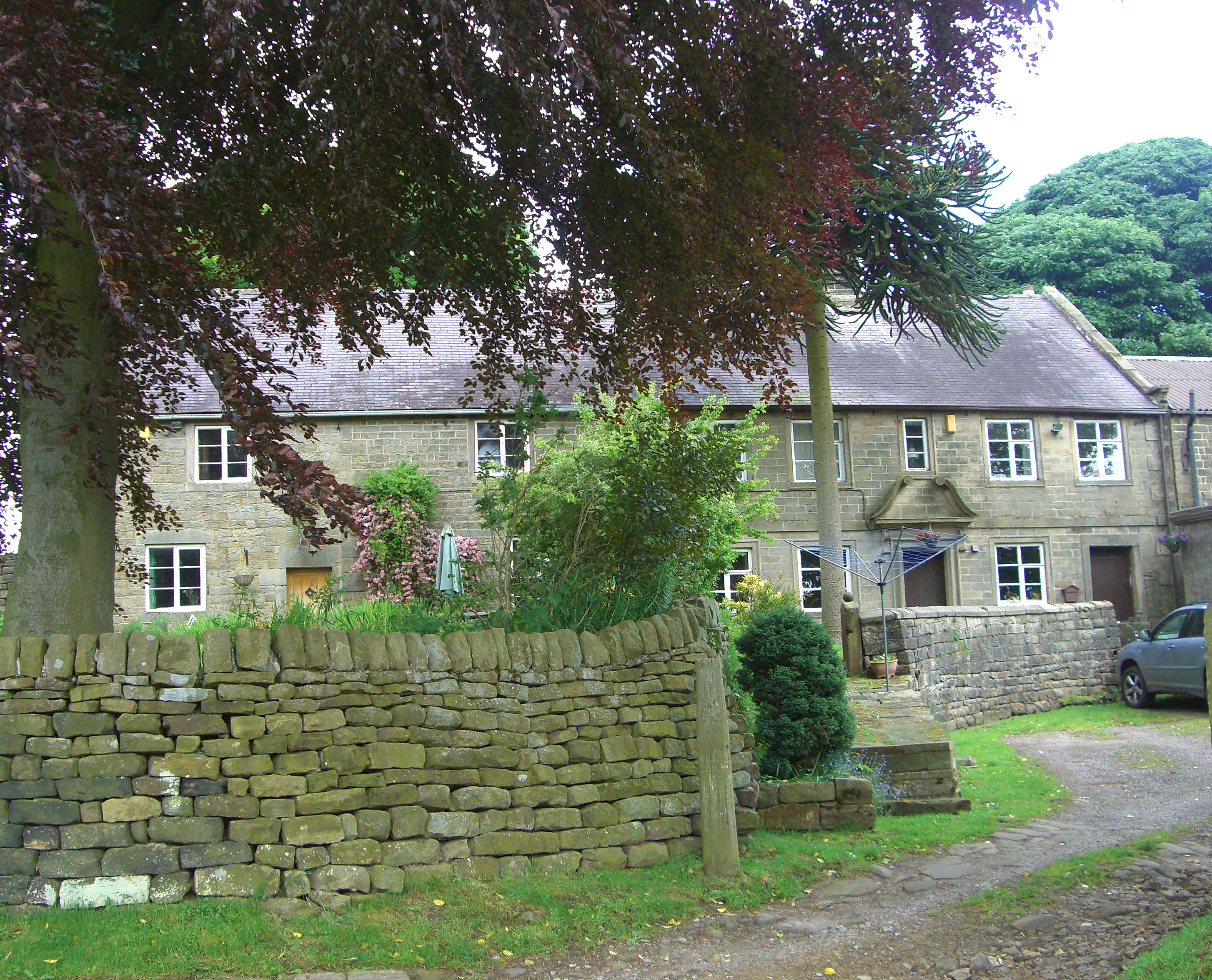
Fair House Farmhouse
Fair House Farmhouse is a 17th-century building situated on Annet Lane in the village of Low Bradfield within the boundary of the City of Sheffield in...
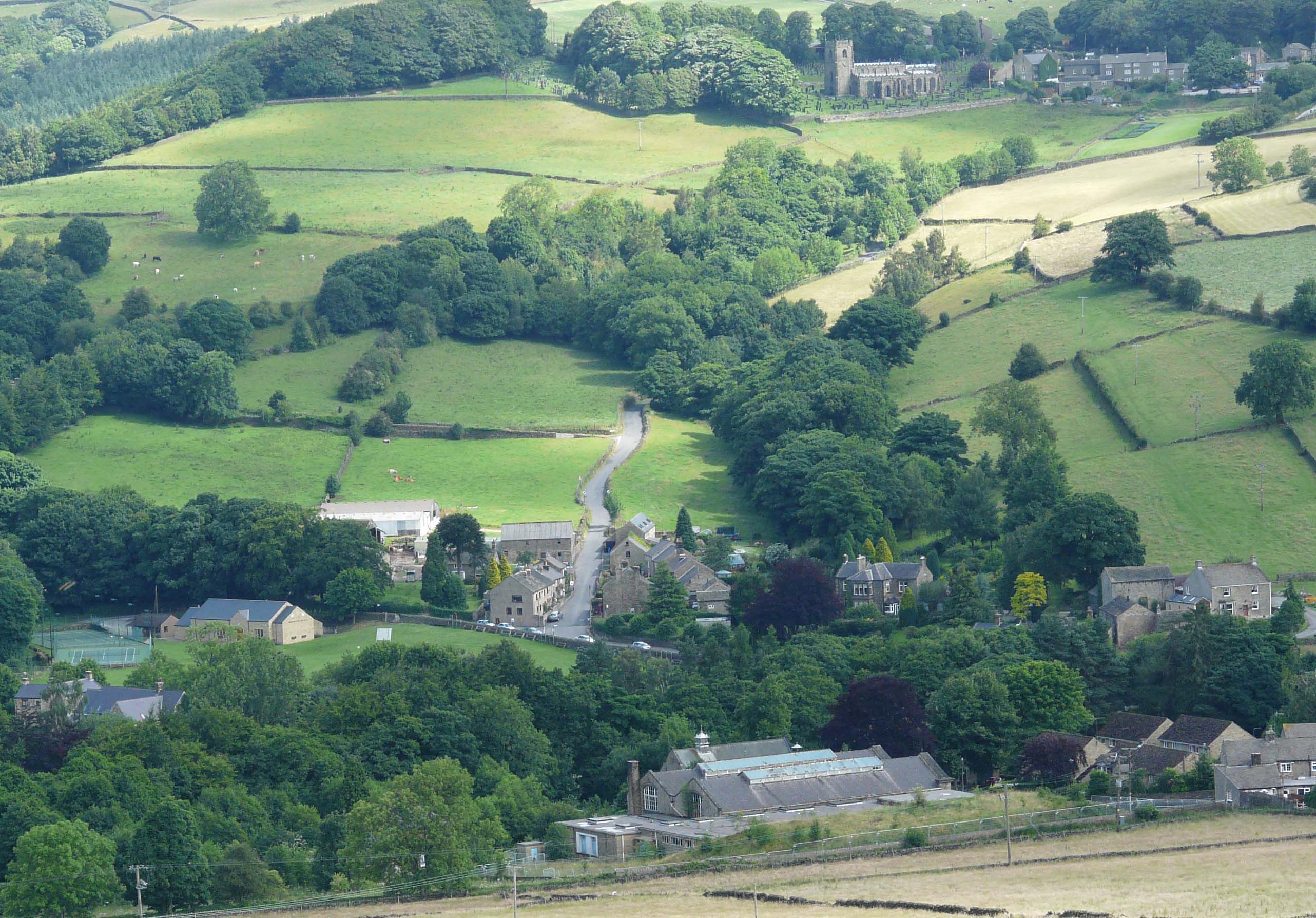
Low Bradfield
Low Bradfield is a village within the civil parish of Bradfield in South Yorkshire, England. It is situated within the boundary of the city of Sheffield...
High Bradfield
High Bradfield is a rural village 6.5 miles (10 km) north-west of the centre of Sheffield in South Yorkshire, England and within the city's boundaries...
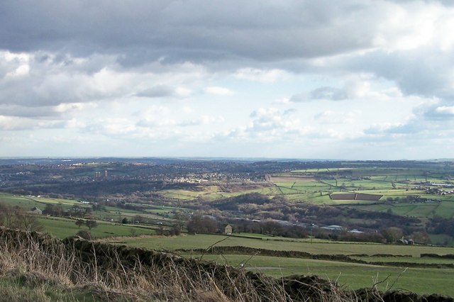
Bradfield, South Yorkshire
Bradfield is a civil parish in the City of Sheffield, in South Yorkshire, England. The civil parish is extensive, the western half is situated in the moorlands...
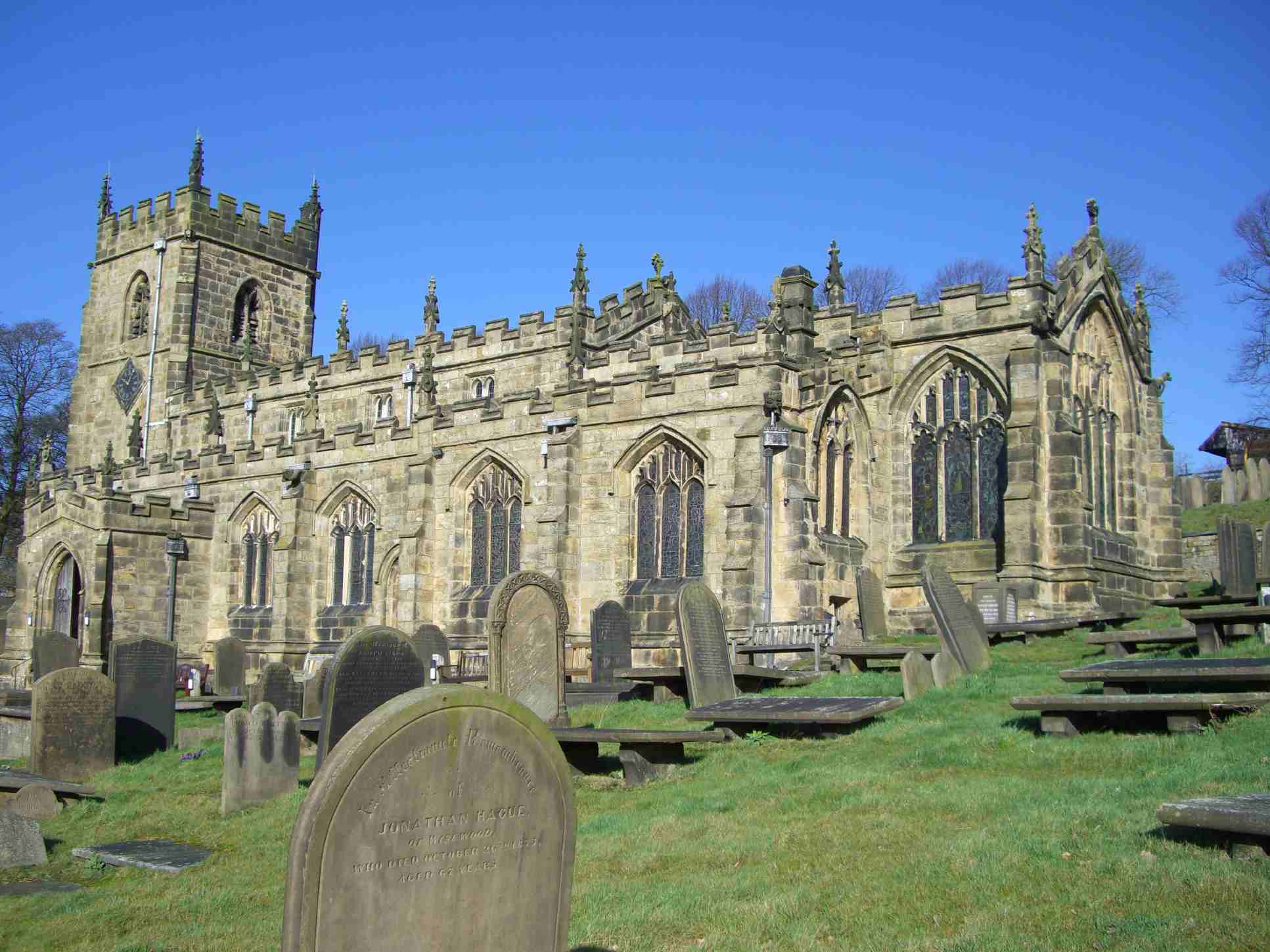
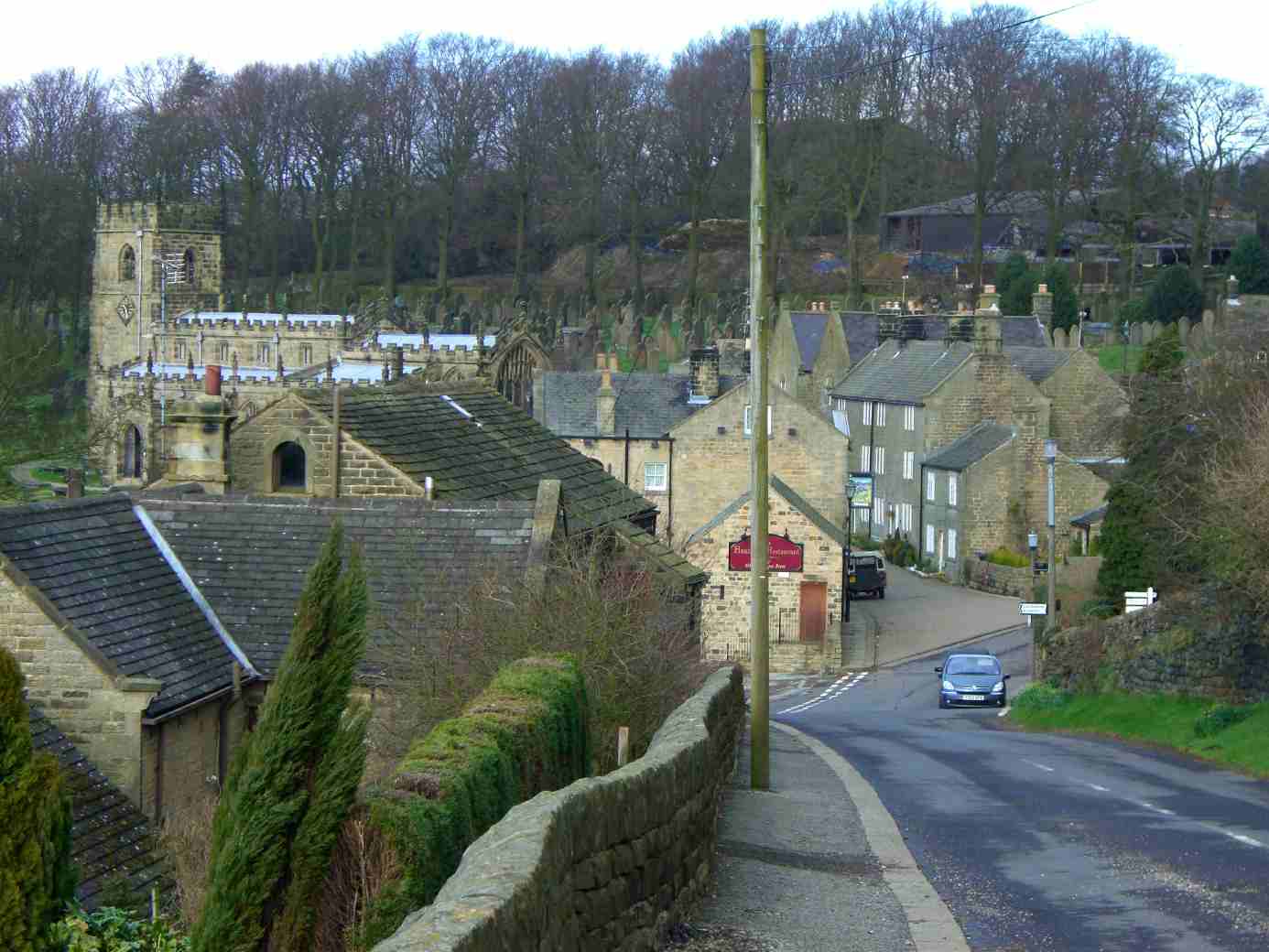
Church of St Nicholas, Bradfield
The Church of St. Nicholas, Bradfield is situated in the small village of High Bradfield, (Grid Reference SK268924) which is located 6 miles (10 km) north...
Ughill
Ughill is a small, rural hamlet within the City of Sheffield in Bradfield Parish in England. It is 5 mi (8 km) west-northwest of the city centre. It stands...
Dale Dike Reservoir
Dale Dike Reservoir or Dale Dyke Reservoir (grid reference SK240913) is a reservoir in the north-east Peak District, in the City of Sheffield, South Yorkshire...
Nearby Amenities
Located within 500m of 53.429407,-1.6099662Have you been to Agden Reservoir?
Leave your review of Agden Reservoir below (or comments, questions and feedback).