Leekfrith
Civil Parish in Staffordshire Staffordshire Moorlands
England
Leekfrith
Leekfrith is a civil parish located in the county of Staffordshire, England. It is situated approximately 7 miles north of the market town of Leek and is nestled within the picturesque Moorlands area. The parish covers a relatively small area, encompassing a handful of hamlets and scattered dwellings.
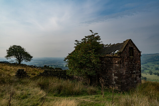
The history of Leekfrith dates back centuries, with evidence of human activity in the area dating back to the Neolithic period. The parish is also known for its Roman heritage, with the discovery of a significant hoard of Roman artifacts in 2017. This hoard, known as the Leekfrith Torcs, is considered one of the largest and most important finds of its kind in Britain. It includes several intricately crafted gold and silver necklaces, believed to have been buried as an offering to the gods.
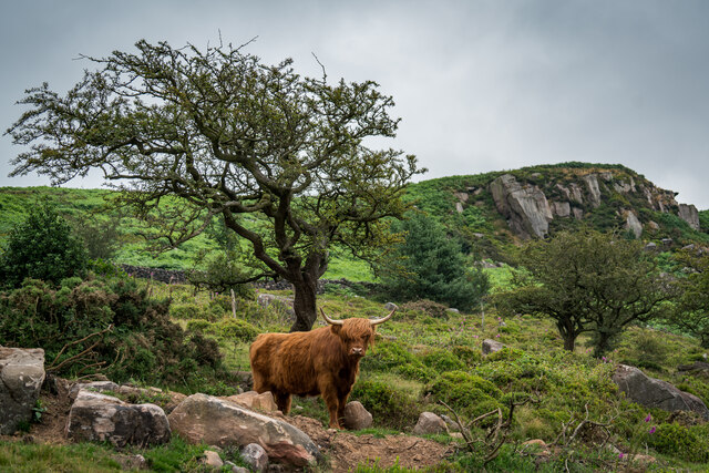
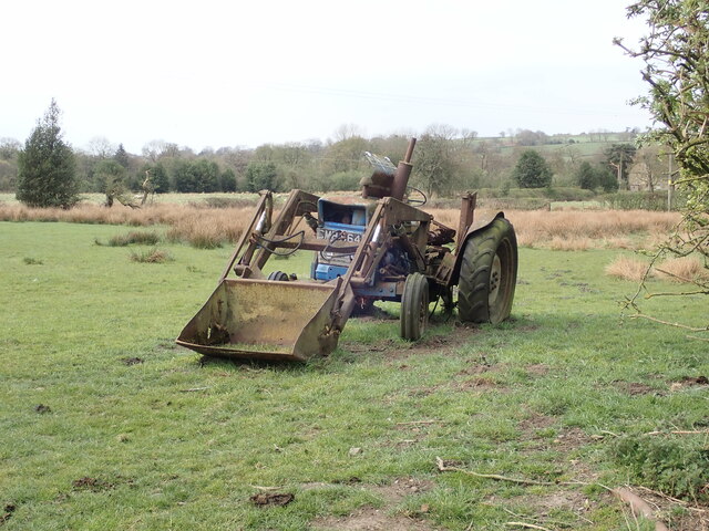
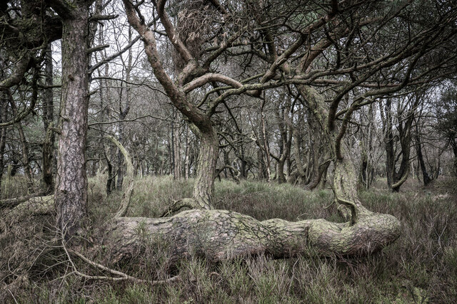
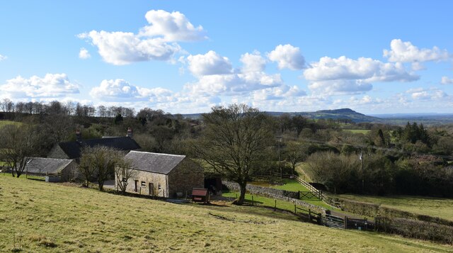
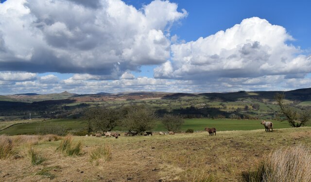
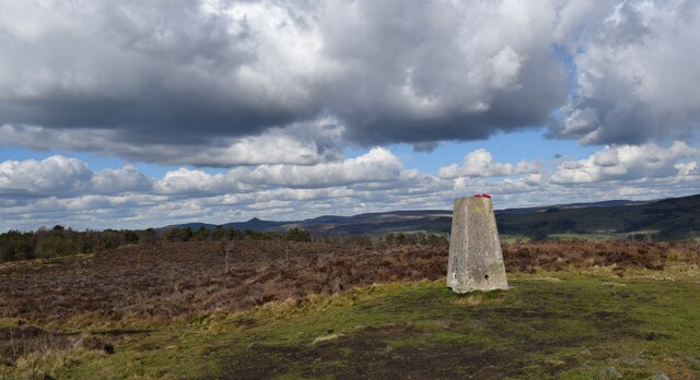
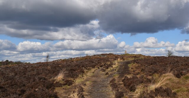
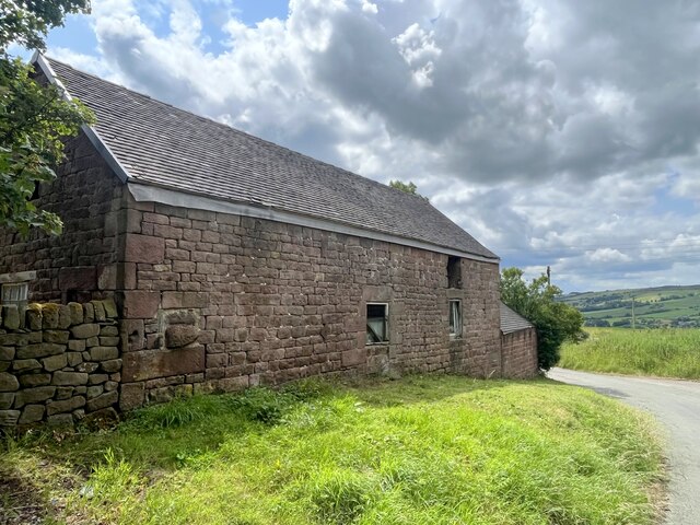
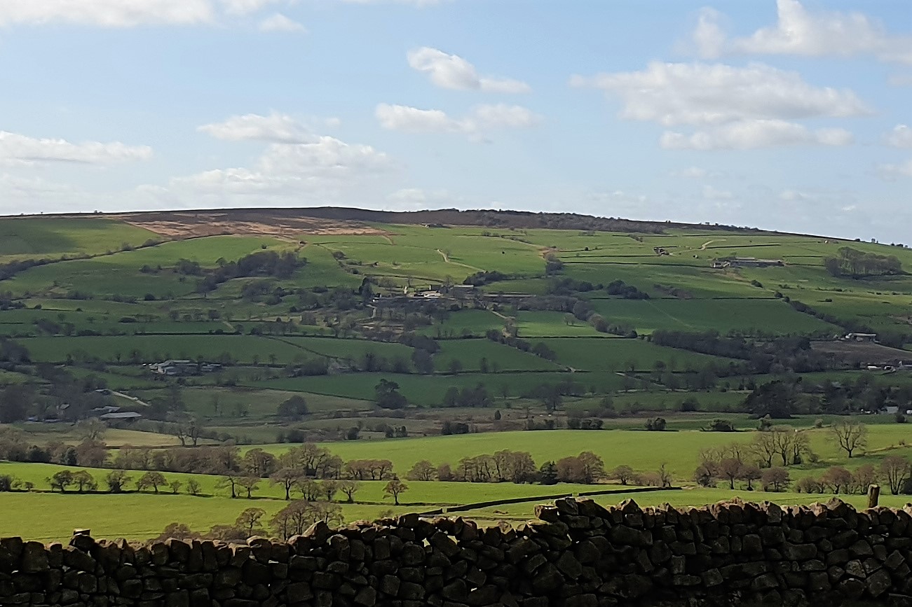
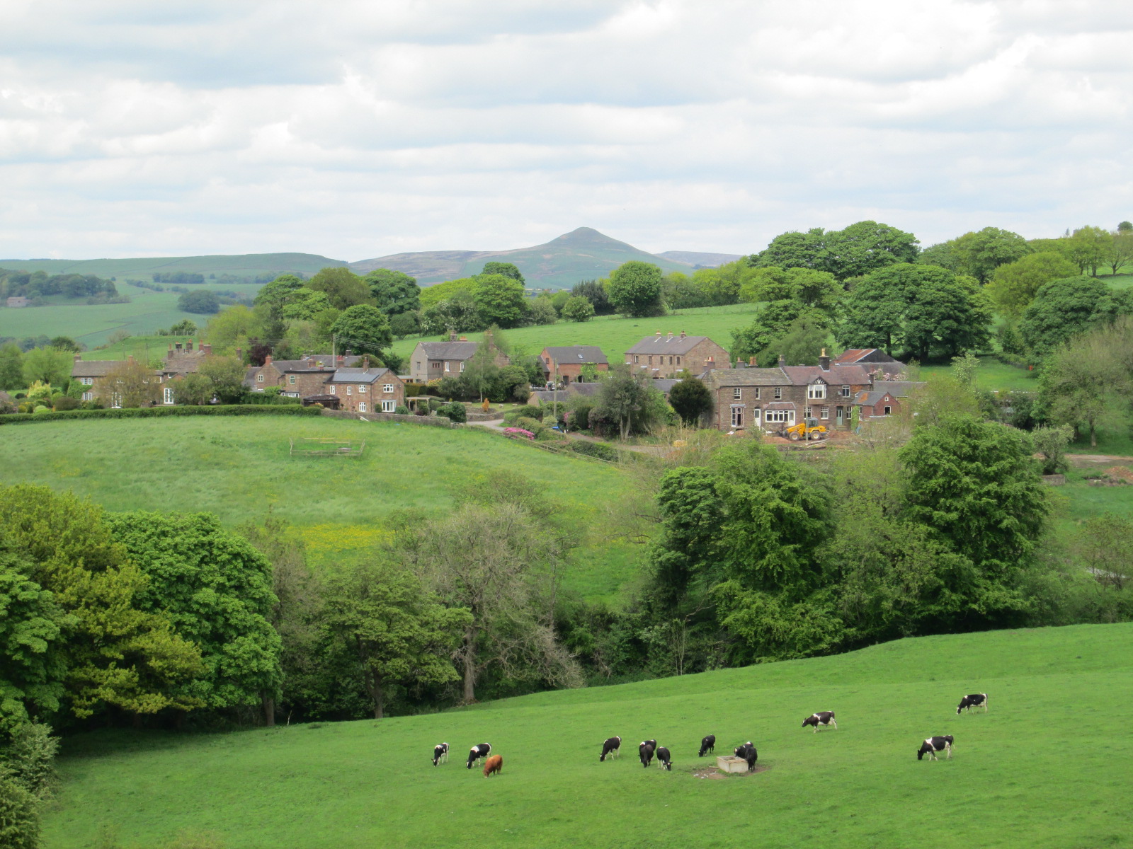
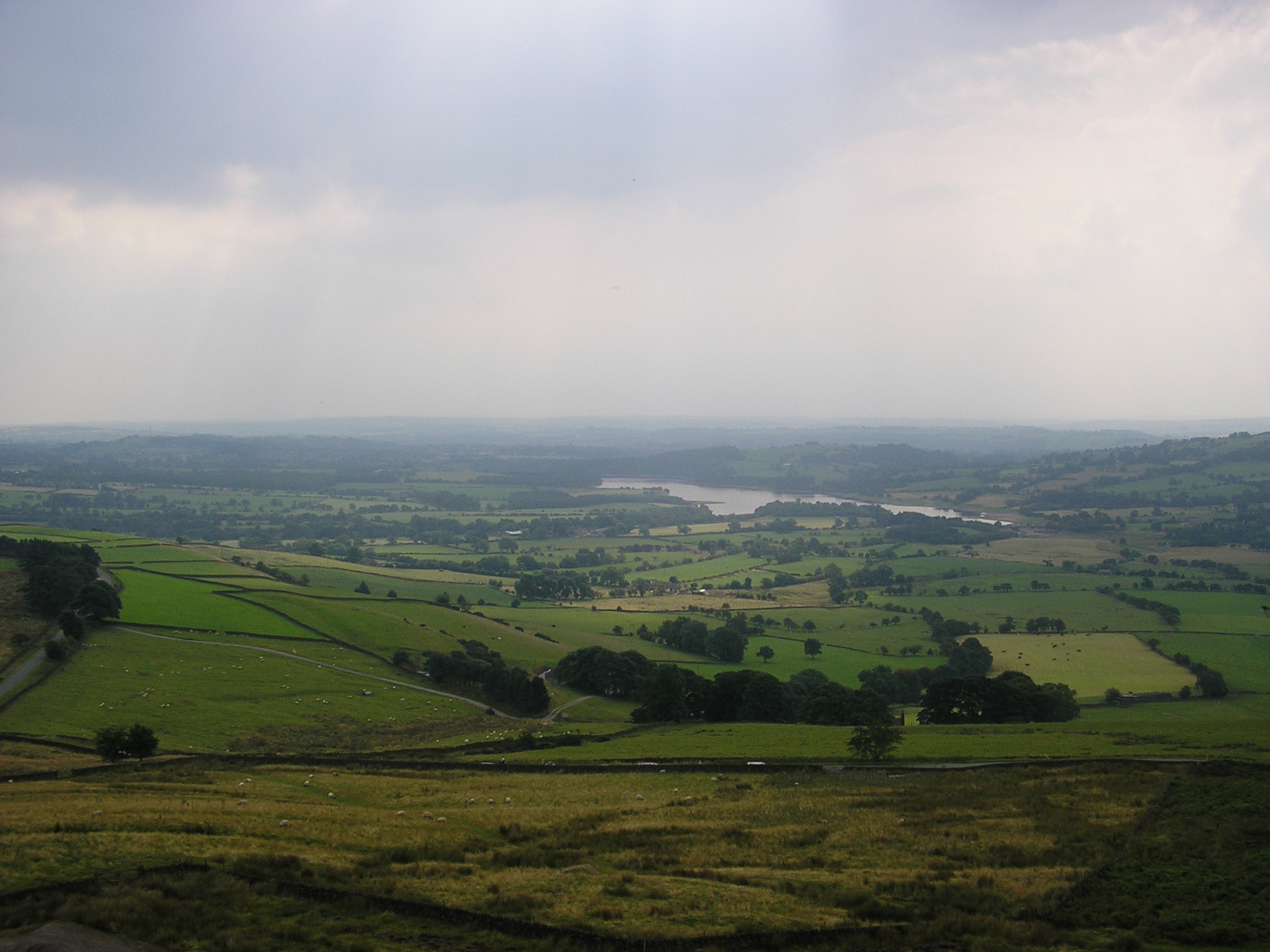
Leekfrith is predominantly a rural area, characterized by rolling hills, grazing pastures, and charming countryside views. The local economy revolves around agriculture, with many residents engaged in farming and livestock rearing. The parish is also known for its rich natural beauty, with numerous walking trails and outdoor recreational activities available for visitors.
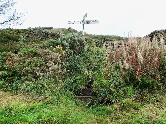
Despite its rural nature, Leekfrith benefits from good transport links, with major roads connecting it to nearby towns and cities. The parish is home to a small but tight-knit community, with a handful of amenities such as a village hall and a local pub. The area is known for its friendly atmosphere and strong sense of community spirit.
If you have any feedback on the listing, please let us know in the comments section below.
Leekfrith Images
Images are sourced within 2km of 53.162944/-2.02677 or Grid Reference SJ9862. Thanks to Geograph Open Source API. All images are credited.


Leekfrith is located at Grid Ref: SJ9862 (Lat: 53.162944, Lng: -2.02677)
Administrative County: Staffordshire
District: Staffordshire Moorlands
Police Authority: Staffordshire
What 3 Words
///drill.fuels.commoners. Near Leek, Staffordshire
Nearby Locations
Related Wikis

Leekfrith
Leekfrith is a civil parish in the Staffordshire Moorlands, in Staffordshire, England, north of the town of Leek. The population of the civil parish at...
Gun (Staffordshire)
Gun is a hill at the southern end of the Peak District, overlooking the town of Leek in the Staffordshire Moorlands. The hill is mainly moorland with some...

Swythamley Hall
Swythamley Hall is a late 18th-century country house near Leek, Staffordshire which has been converted into four separate residences. It is a Grade II...

The Roaches
The Roaches (from the French les roches - the rocks) is a prominent rocky ridge above Leek and Tittesworth Reservoir in the Staffordshire Peak District...
Meerbrook
Meerbrook (grid reference SJ989609) is a small village in North Staffordshire, on the River Churnet at the edge of the Peak District National Park. It...

Lud's Church
Lud's Church (sometimes written as Ludchurch) is a deep chasm penetrating the Millstone Grit bedrock created by a massive landslip on the hillside above...
Heaton, Staffordshire
Heaton is a small village and civil parish in Staffordshire, England. It is about 4 miles (6.4 km) north of Leek and about 7 miles (11 km) south of Macclesfield...
Tittesworth reservoir
Tittesworth Reservoir is a water storage reservoir near Leek, Staffordshire, England, fed by the River Churnet. The reservoir and associated water treatment...
Nearby Amenities
Located within 500m of 53.162944,-2.02677Have you been to Leekfrith?
Leave your review of Leekfrith below (or comments, questions and feedback).