Lancing
Civil Parish in Sussex Adur
England
Lancing
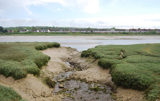
Lancing is a civil parish located in the county of Sussex, England. Situated on the south coast, it is bordered by the English Channel to the south and the town of Worthing to the west. Lancing covers an area of approximately 5 square miles and has a population of around 19,000 people.
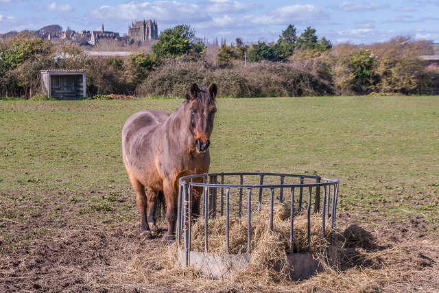
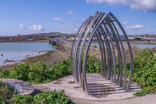
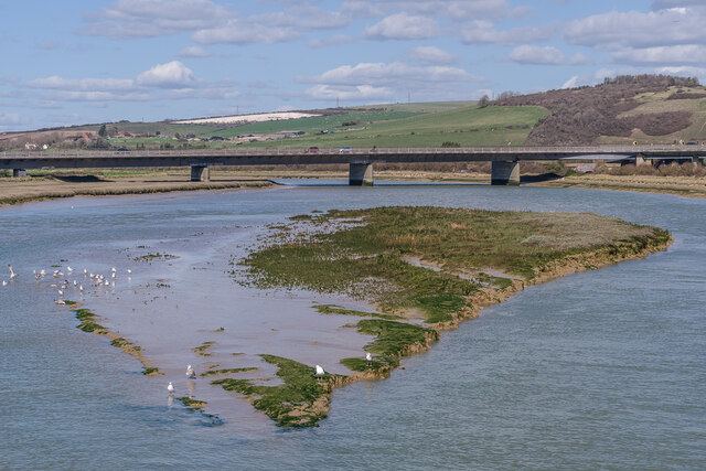
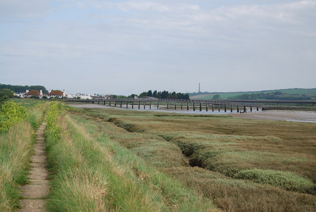
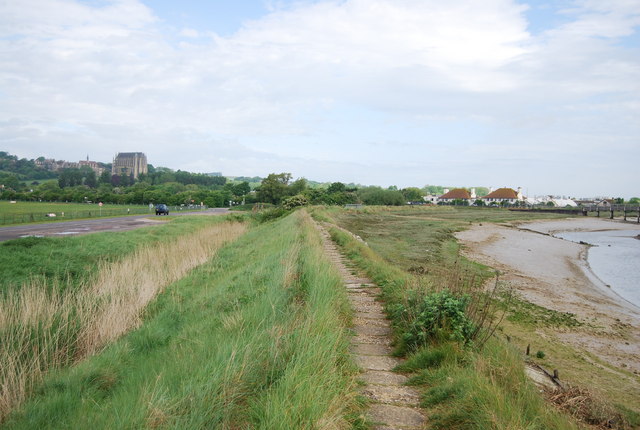
The parish is known for its beautiful beach, which stretches for around 2 miles and attracts visitors from near and far. The shingle beach is popular for swimming, sunbathing, and various water sports. Lancing Beach Green, a large public green space, offers amenities such as a children's play area, picnic spots, and beachfront cafes.
The village of Lancing itself has a charming small-town atmosphere with a range of amenities and services. It boasts a variety of independent shops, supermarkets, restaurants, and pubs, providing residents with plenty of options for shopping and dining. The village also has a library, a leisure center with swimming pool, and a health center.
Lancing is well-connected to nearby towns and cities, with regular train services from Lancing railway station to London, Brighton, and other destinations. The A27 road runs through the parish, providing convenient access to the wider Sussex area.
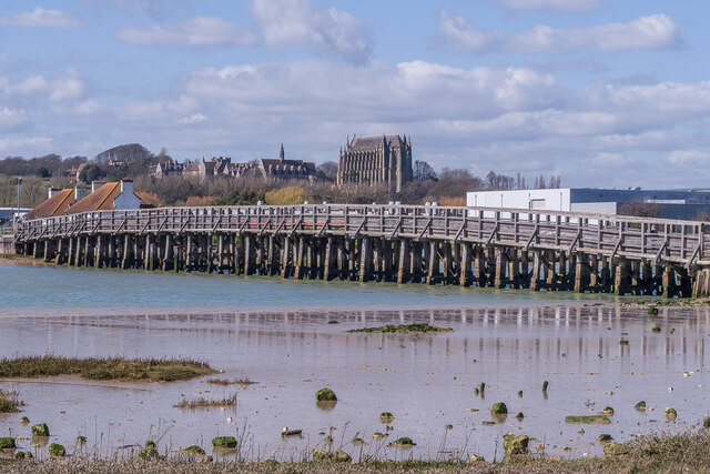
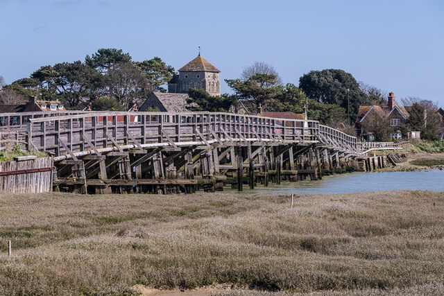
Nature enthusiasts will appreciate Lancing's proximity to the South Downs National Park, which offers stunning landscapes and opportunities for walking, cycling, and wildlife spotting. Additionally, the area is rich in history, with notable landmarks including Lancing College, an impressive Victorian Gothic-style school, and the 13th-century Lancing Ring, an ancient hill fort.
Overall, Lancing, Sussex is a picturesque coastal parish with a thriving community, offering a mix of natural beauty, leisure facilities, and historical attractions.
If you have any feedback on the listing, please let us know in the comments section below.
Lancing Images
Images are sourced within 2km of 50.844784/-0.311167 or Grid Reference TQ1806. Thanks to Geograph Open Source API. All images are credited.
Lancing is located at Grid Ref: TQ1806 (Lat: 50.844784, Lng: -0.311167)
Administrative County: West Sussex
District: Adur
Police Authority: Sussex
What 3 Words
///snoozing.quintet.untruth. Near Lancing, West Sussex
Nearby Locations
Related Wikis

Lancing College Chapel
Lancing College Chapel is the chapel to Lancing College in West Sussex, England, and is an example of Gothic Revival architecture. The chapel was designed...

Lancing Ring
Lancing Ring is a 29.4-hectare (73-acre) Local Nature Reserve in Lancing in West Sussex. It is owned and managed by Adur District Council.This chalk grassland...

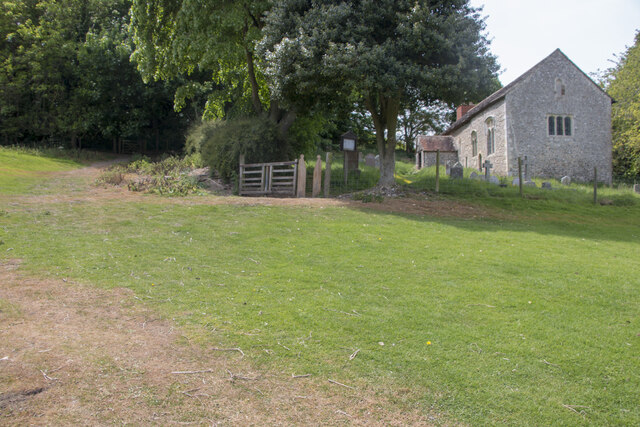
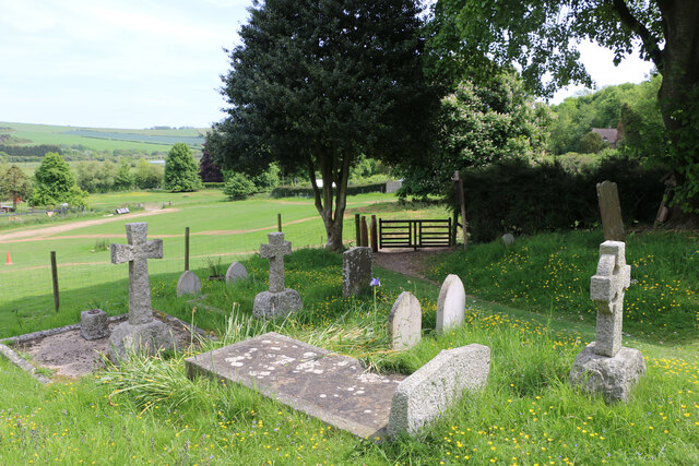
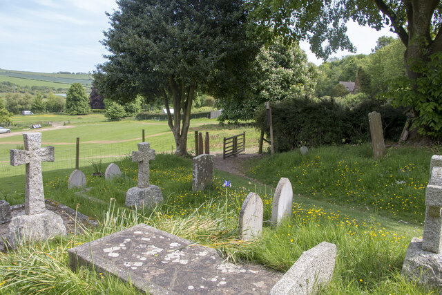
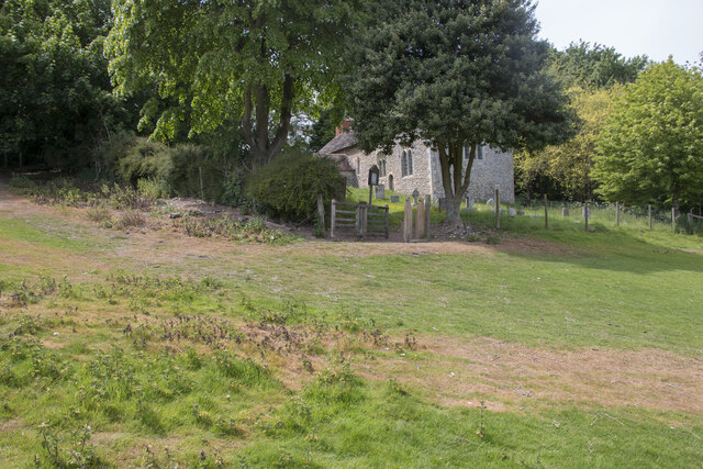
St James the Less Church, Lancing
St James the Less Church is the Anglican parish church of Lancing, an ancient village which has been absorbed into the modern town of Lancing in the district...

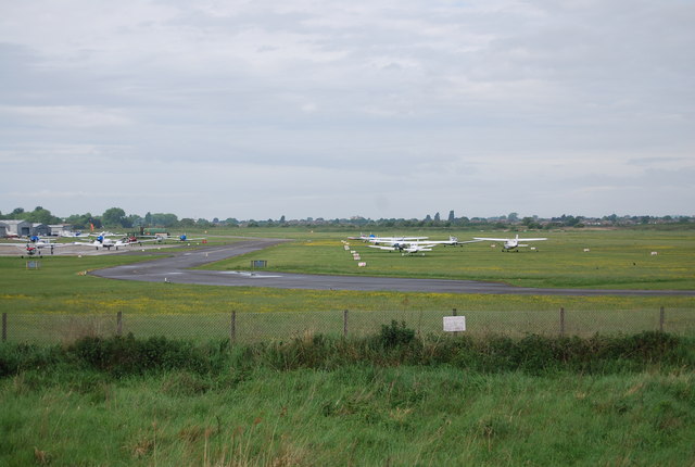
2015 Shoreham Airshow crash
On 22 August 2015, a former military aircraft crashed onto a main road during an aerial display at the Shoreham Airshow at Shoreham Airport, England, killing...
Lancing (electoral division)
Lancing is an electoral division of West Sussex in the United Kingdom, and returns one member to sit on West Sussex County Council. == Extent == The division...

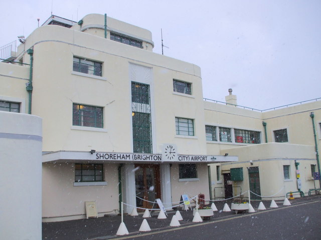
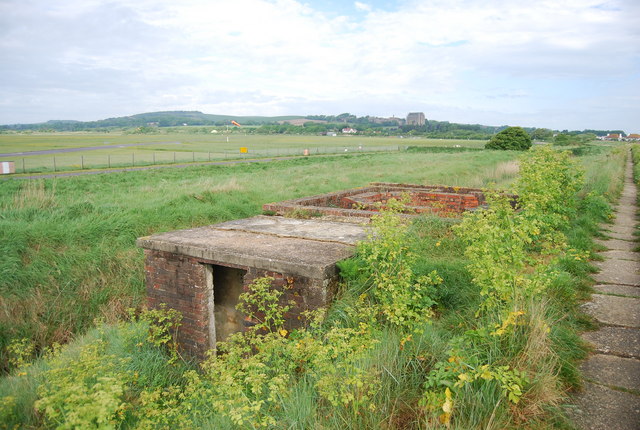
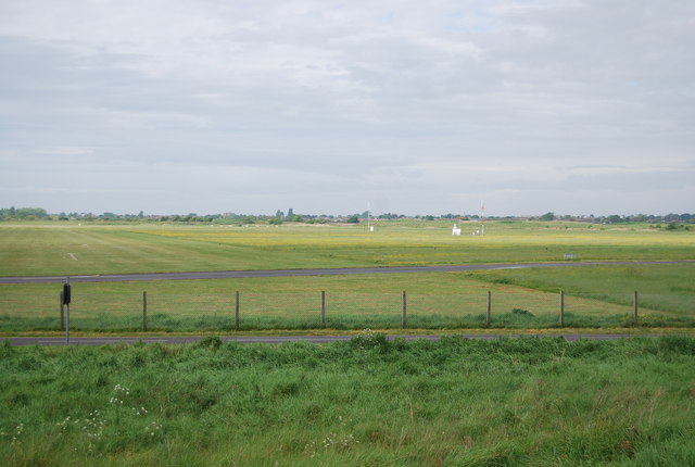
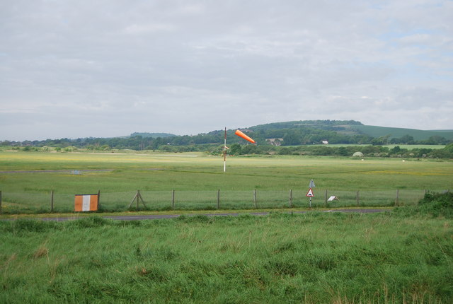
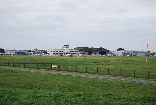
Brighton City Airport
Brighton City Airport (IATA: ESH, ICAO: EGKA), also commonly known as Shoreham Airport, is located in the parish of Lancing in West Sussex, England. It...
Lancing, West Sussex
Lancing is a large coastal village and civil parish in the Adur district of West Sussex, England, on the western edge of the Adur Valley. It occupies part...

Sompting & North Lancing (electoral division)
Sompting & North Lancing is an electoral division of West Sussex in the United Kingdom, and returns one member to sit on the West Sussex County Council...
Nearby Amenities
Located within 500m of 50.844784,-0.311167Have you been to Lancing?
Leave your review of Lancing below (or comments, questions and feedback).