Lancing Hill
Hill, Mountain in Sussex Adur
England
Lancing Hill
Lancing Hill, located in Sussex, England, is a prominent natural feature that forms part of the South Downs National Park. Although referred to as a hill, it can also be considered a small mountain due to its height and steepness. Rising to an elevation of approximately 171 meters (561 feet), Lancing Hill offers stunning panoramic views of the surrounding countryside, as well as the English Channel.
Covered in lush greenery, the hill is predominantly composed of chalk, a characteristic feature of the South Downs. It is home to a diverse range of flora and fauna, including rare plant species such as the chalkhill blue butterfly and the early spider orchid. The hill's slopes are often adorned with vibrant wildflowers during the spring and summer months, creating a picturesque landscape.
Lancing Hill is a popular destination for outdoor enthusiasts, offering various recreational activities. Hiking and walking trails crisscross the hill, allowing visitors to explore its natural beauty and enjoy the breathtaking vistas. The hill's summit is easily accessible and provides an ideal spot for picnics or simply taking in the scenic surroundings.
In addition to its natural allure, Lancing Hill has a rich historical significance. It is believed to have been settled by humans as far back as the Neolithic period, with evidence of ancient burial mounds and flint tools found in the vicinity. The hill's strategic position also made it an important site during the Roman and medieval periods, with remnants of a Roman road discovered nearby.
Overall, Lancing Hill offers a unique blend of natural beauty and historical significance, making it a captivating destination for nature lovers and history enthusiasts alike.
If you have any feedback on the listing, please let us know in the comments section below.
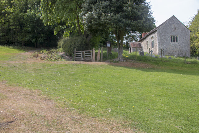
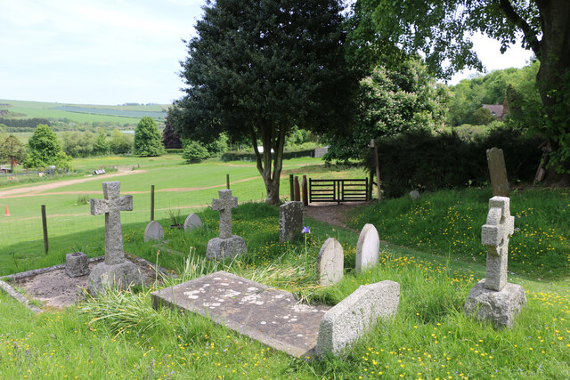
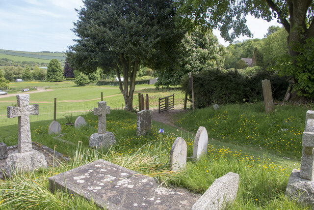
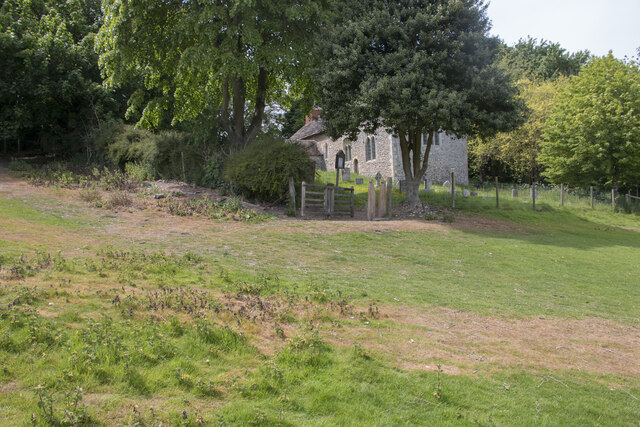
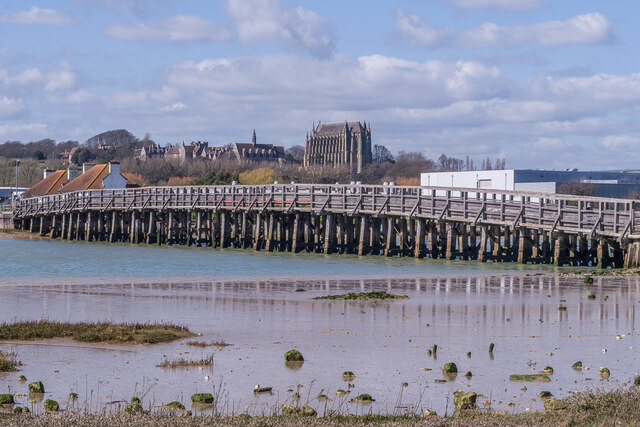
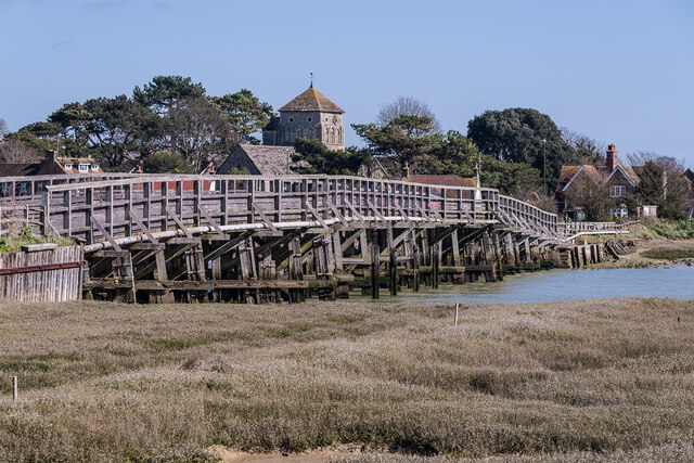
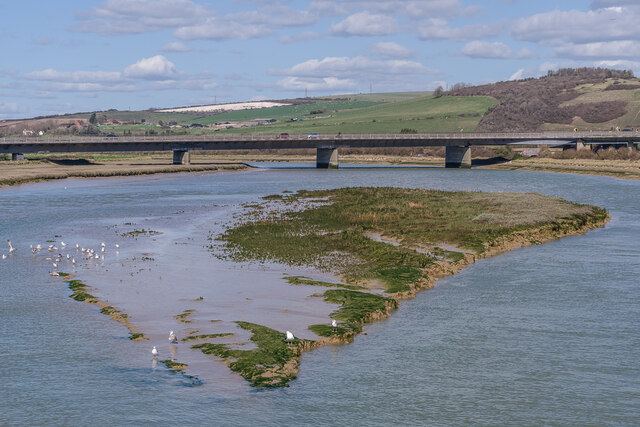
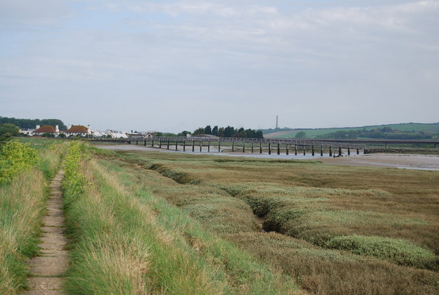
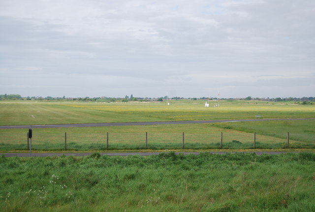
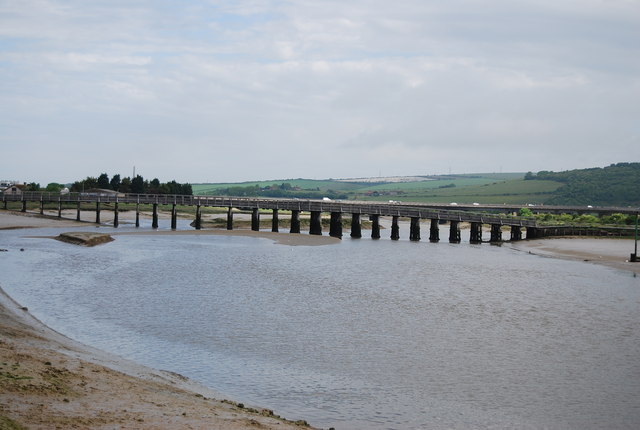
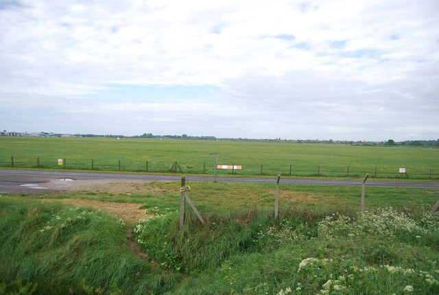
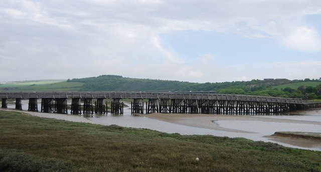
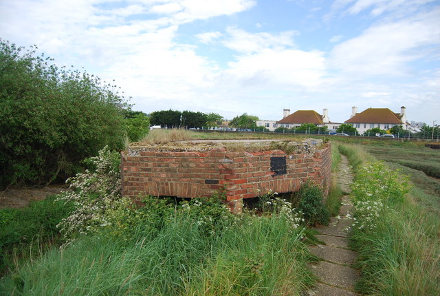
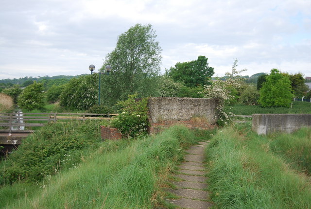
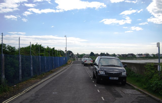
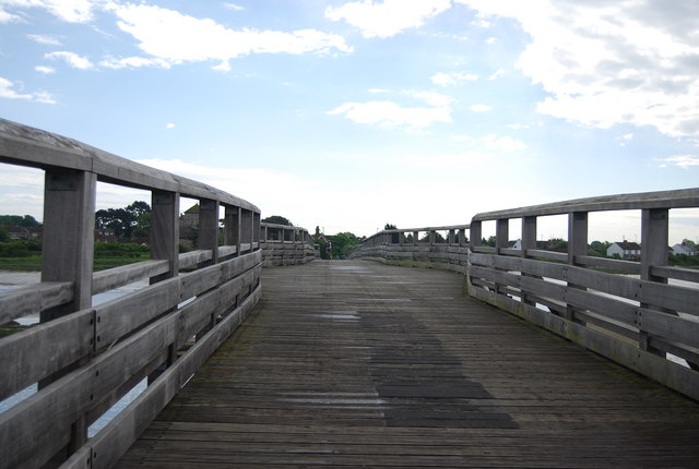
Lancing Hill Images
Images are sourced within 2km of 50.847218/-0.31316808 or Grid Reference TQ1806. Thanks to Geograph Open Source API. All images are credited.
Lancing Hill is located at Grid Ref: TQ1806 (Lat: 50.847218, Lng: -0.31316808)
Administrative County: West Sussex
District: Adur
Police Authority: Sussex
What 3 Words
///cork.showering.unite. Near Lancing, West Sussex
Nearby Locations
Related Wikis

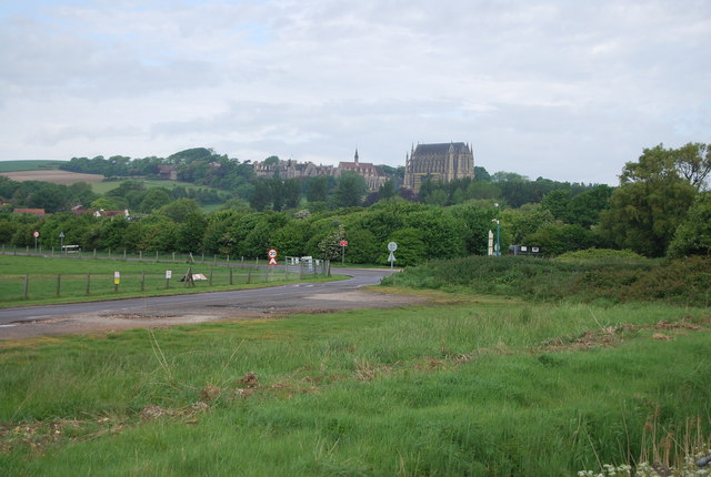
Lancing College Chapel
Lancing College Chapel is the chapel to Lancing College in West Sussex, England, and is an example of Gothic Revival architecture. The chapel was designed...

Lancing Ring
Lancing Ring is a 29.4-hectare (73-acre) Local Nature Reserve in Lancing in West Sussex. It is owned and managed by Adur District Council.This chalk grassland...

St James the Less Church, Lancing
St James the Less Church is the Anglican parish church of Lancing, an ancient village which has been absorbed into the modern town of Lancing in the district...

Sompting & North Lancing (electoral division)
Sompting & North Lancing is an electoral division of West Sussex in the United Kingdom, and returns one member to sit on the West Sussex County Council...
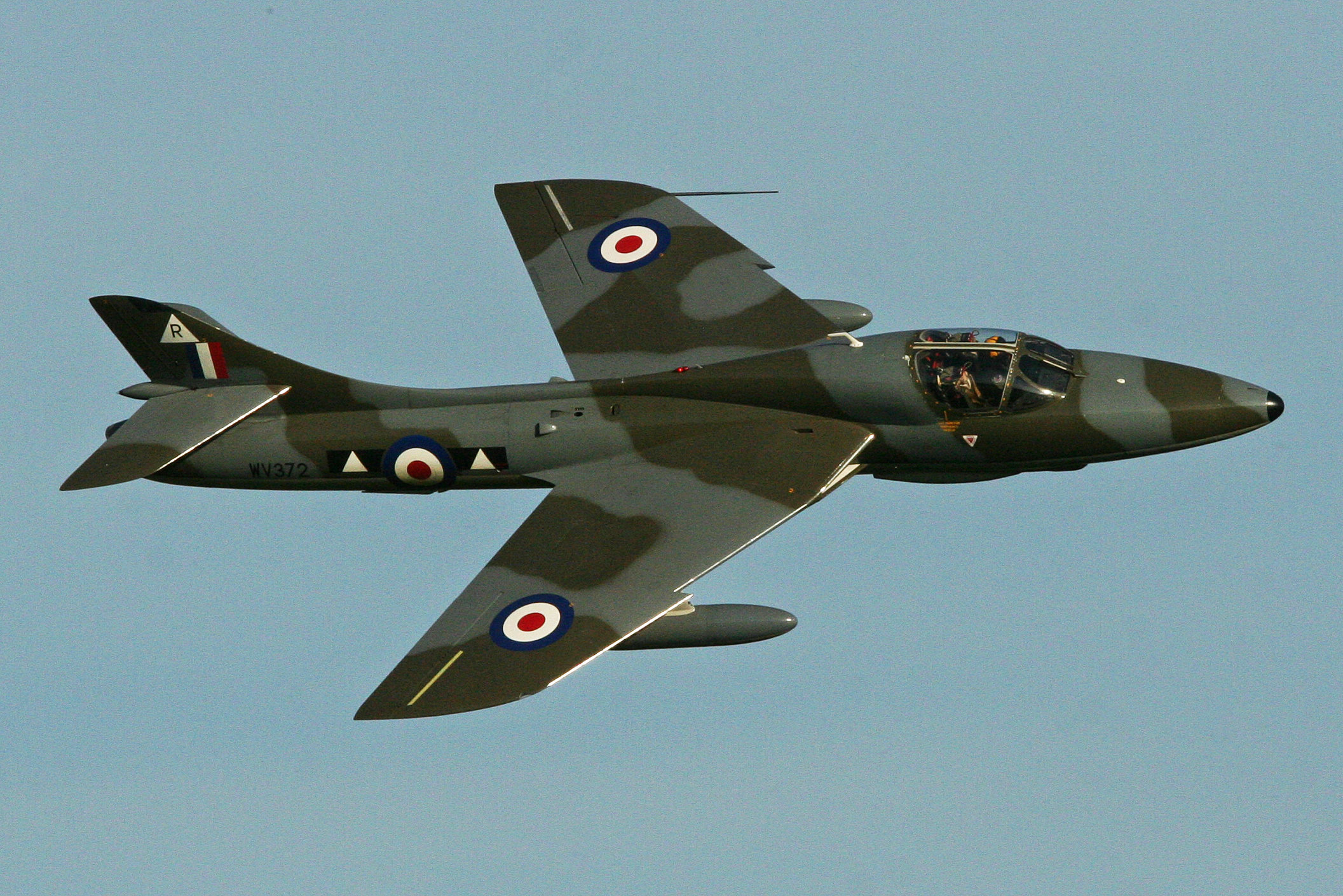
2015 Shoreham Airshow crash
On 22 August 2015, a former military aircraft crashed onto a main road during an aerial display at the Shoreham Airshow at Shoreham Airport, England, killing...
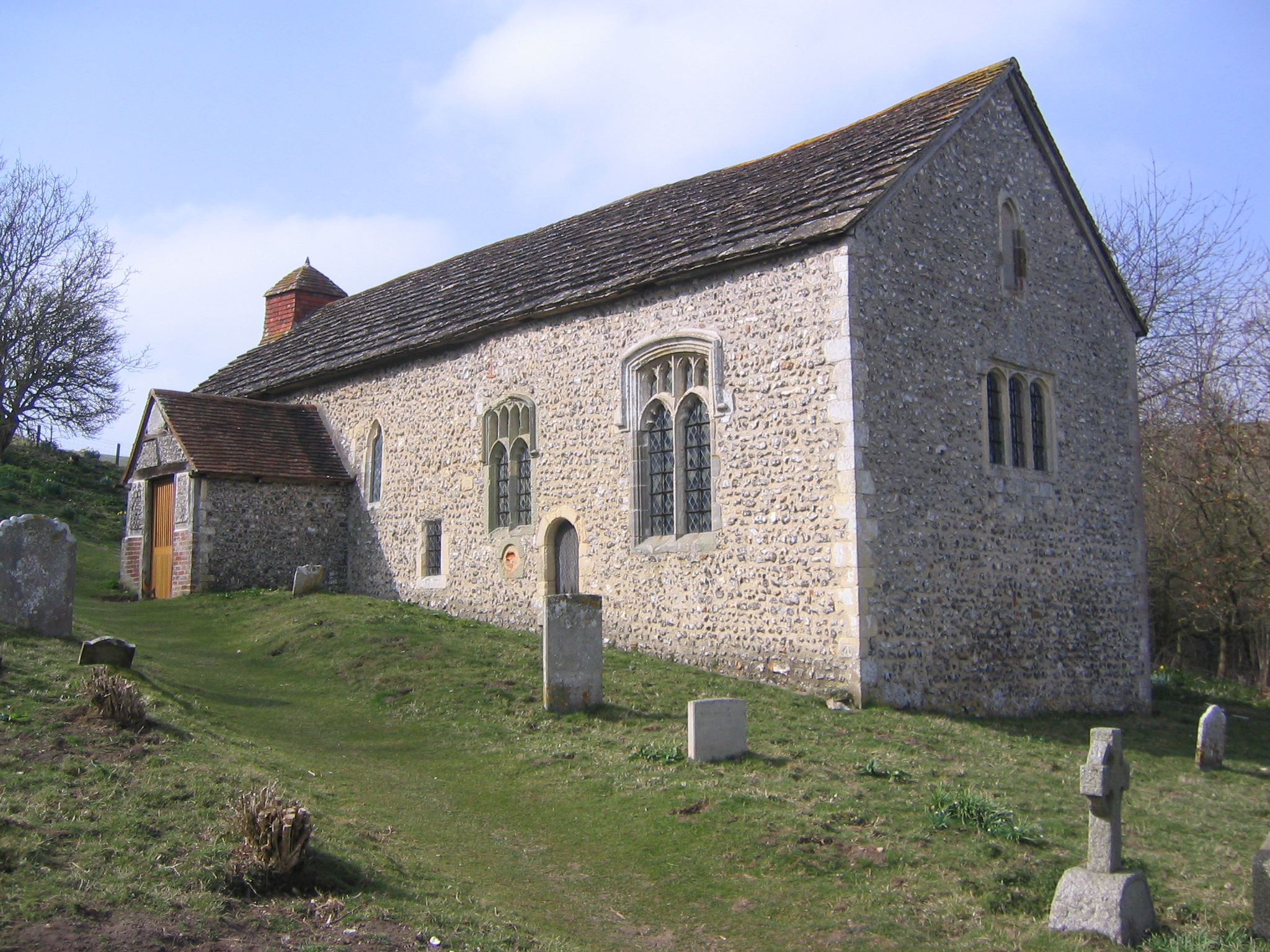
Coombes Church
Coombes Church is a Church of England parish church in the rural hamlet of Coombes in the Adur District of West Sussex, England. It has served the rural...
Lancing (electoral division)
Lancing is an electoral division of West Sussex in the United Kingdom, and returns one member to sit on West Sussex County Council. == Extent == The division...

Brighton City Airport
Brighton City Airport (IATA: ESH, ICAO: EGKA), also commonly known as Shoreham Airport, is located in the parish of Lancing in West Sussex, England. It...
Nearby Amenities
Located within 500m of 50.847218,-0.31316808Have you been to Lancing Hill?
Leave your review of Lancing Hill below (or comments, questions and feedback).