Cow Hill
Hill, Mountain in Yorkshire
England
Cow Hill
Cow Hill is a prominent geographical feature located in the county of Yorkshire, England. Situated in the heart of the Yorkshire Dales National Park, Cow Hill is a relatively small hill with an elevation of approximately 447 meters (1,467 feet) above sea level. Despite its modest height, the hill offers breathtaking panoramic views of the surrounding landscape, making it a popular destination for hikers and nature enthusiasts.
The hill derives its name from the historical association with the local farming industry, as it was once used as grazing land for cows. The terrain of Cow Hill is characterized by gentle slopes, covered in lush green grass and scattered with limestone outcrops. It is a prime example of the stunning natural beauty that Yorkshire has to offer, with its rolling hills and sweeping valleys.
The summit of Cow Hill provides an ideal vantage point to admire the picturesque countryside, including the nearby River Wharfe and the charming village of Grassington. On a clear day, visitors can also catch a glimpse of other prominent landmarks in the distance, such as the towering Ingleborough and Pen-y-ghent mountains.
The area surrounding Cow Hill is rich in biodiversity, boasting a variety of flora and fauna. It is home to several species of birds, including peregrine falcons and curlews, as well as various wildflowers that bloom throughout the seasons.
Overall, Cow Hill is a tranquil and beautiful place that showcases the natural splendor of the Yorkshire Dales, offering visitors a chance to immerse themselves in the idyllic countryside and enjoy the serenity of this picturesque hill.
If you have any feedback on the listing, please let us know in the comments section below.
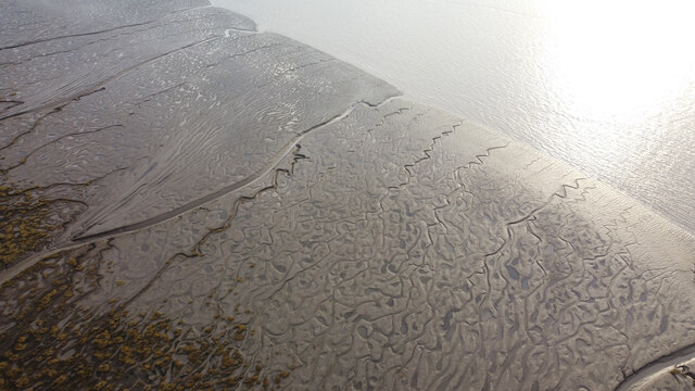
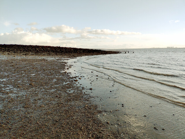
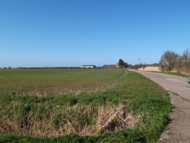
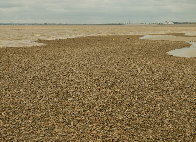
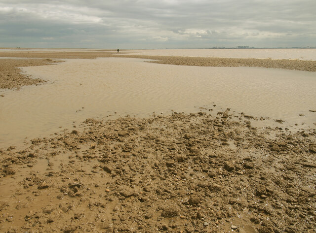
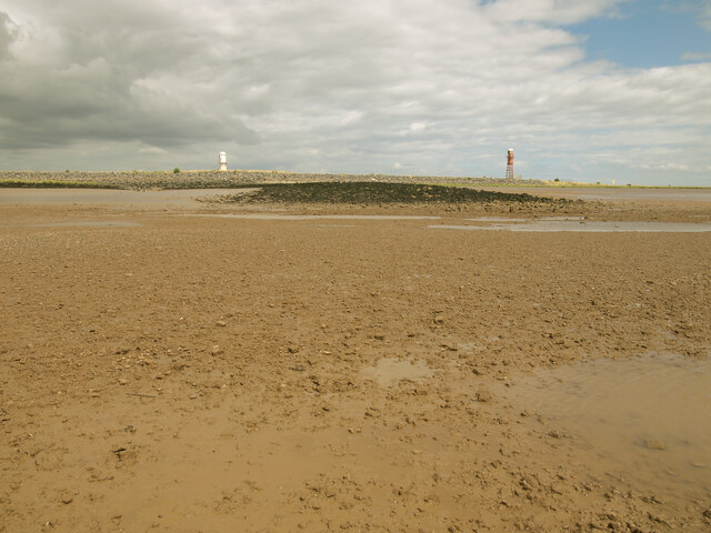
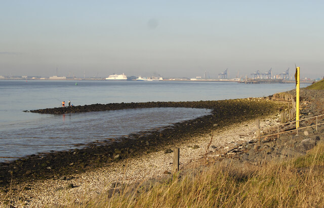
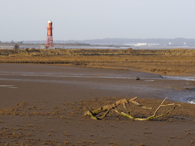
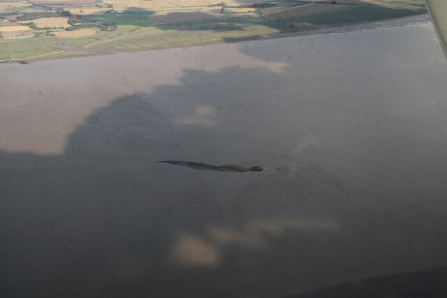
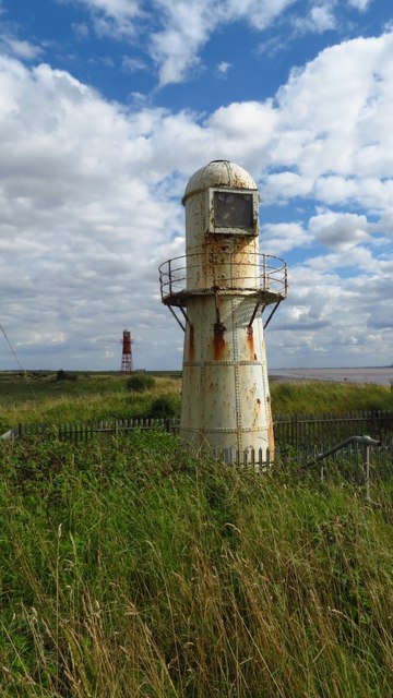
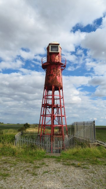
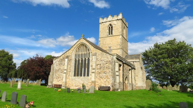
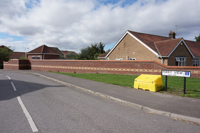
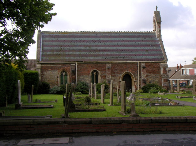
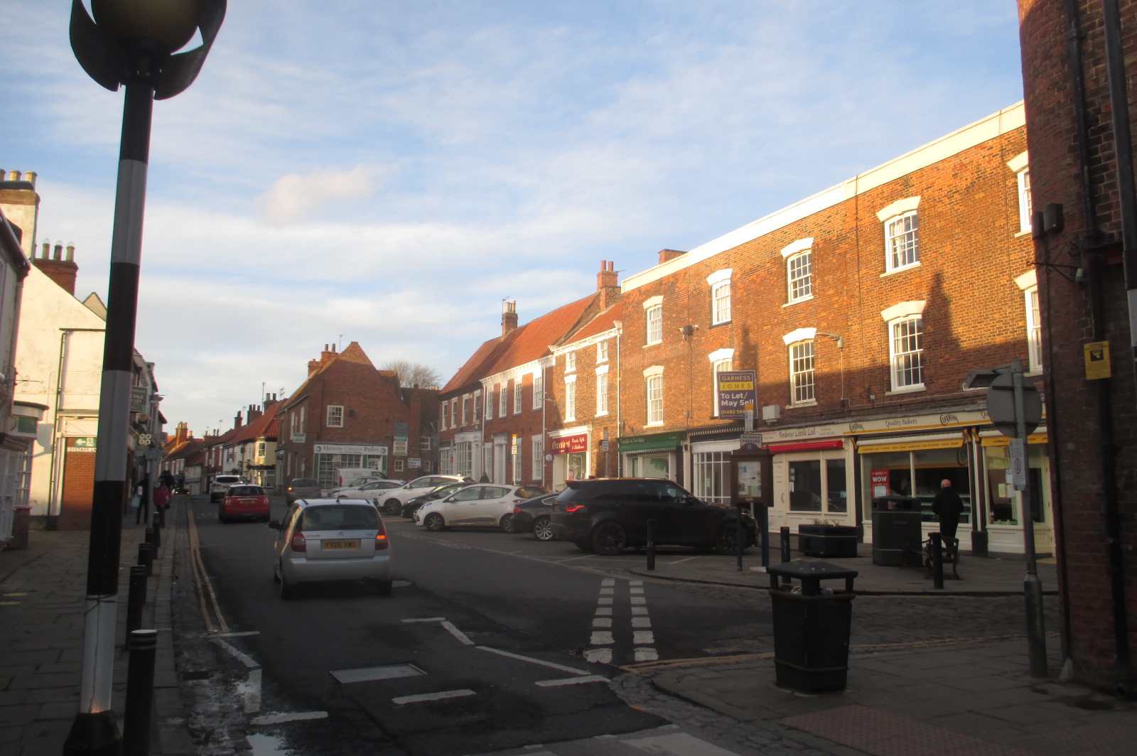
Cow Hill Images
Images are sourced within 2km of 53.710101/-0.20178254 or Grid Reference TA1825. Thanks to Geograph Open Source API. All images are credited.
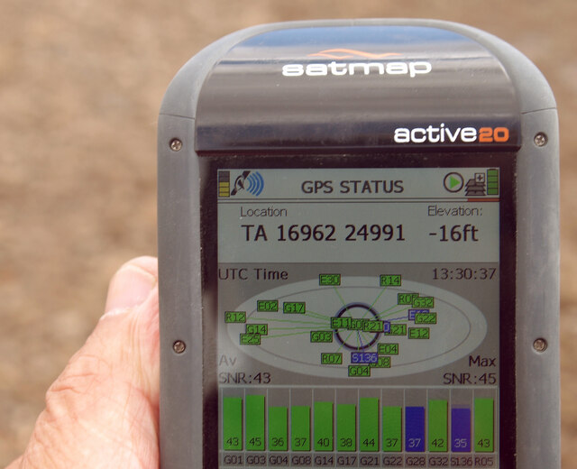


Cow Hill is located at Grid Ref: TA1825 (Lat: 53.710101, Lng: -0.20178254)
Division: East Riding
Unitary Authority: East Riding of Yorkshire
Police Authority: Humberside
What 3 Words
///dramatic.encloses.kingpin. Near Thorngumbald, East Yorkshire
Nearby Locations
Related Wikis

Paull Holme Tower
Paull Holme Tower is an unusual late-medieval fortified tower in the East Riding of Yorkshire, England. == History == The tower is part of a rectangular...

Fort Paull
Fort Paull was a gun battery situated on the north bank of the Humber, near the village of Paull, downstream from Hull in northern England. == History... ==
Thorngumbald
Thorngumbald is a village and civil parish in the East Riding of Yorkshire, England, in an area known as Holderness, 8 miles (13 km) east of Hull on the...

Paull
Paull (archaic Paul, Pall, Pawle, Pawel, Paulle, Paghel, Paghill, Paghil, Pagula) is a village and civil parish in Holderness, in the East Riding of Yorkshire...

Humber Gas Tunnel
The Humber Gas Tunnel is a natural gas-carrying pipeline that runs underneath the Humber Estuary between Paull in the East Riding of Yorkshire, and Goxhill...

Hedon Haven
Hedon Haven is a waterway that connected the Humber Estuary with the port of Hedon, in Holderness, East Riding of Yorkshire, England. The waterway allowed...
Hedon
Hedon is a town and civil parish in Holderness in the East Riding of Yorkshire, England. It is situated approximately 5 miles (8 km) east of Hull city...

Hedon Town Hall
Hedon Town Hall is a municipal building in St Augustine's Gate, Hedon, East Riding of Yorkshire, England. The building, which is the meeting place of Hedon...
Nearby Amenities
Located within 500m of 53.710101,-0.20178254Have you been to Cow Hill?
Leave your review of Cow Hill below (or comments, questions and feedback).