St Sepulchre's Hill
Hill, Mountain in Yorkshire
England
St Sepulchre's Hill

St Sepulchre's Hill is a prominent hill located in Yorkshire, England. It is part of the North York Moors National Park and offers stunning views of the surrounding countryside. The hill is known for its distinctive shape and is a popular destination for hikers and nature enthusiasts.
At an elevation of 282 meters (925 feet), St Sepulchre's Hill is not considered a mountain but still offers a challenging climb for those seeking outdoor adventure. The hill is covered in lush green vegetation, including heather, grasses, and wildflowers, making it a picturesque spot for a leisurely hike.
At the summit of St Sepulchre's Hill, visitors can enjoy panoramic views of the rolling hills and valleys of Yorkshire. On a clear day, it is possible to see for miles around, taking in the beauty of the North York Moors and beyond.
Overall, St Sepulchre's Hill is a must-visit destination for anyone looking to experience the natural beauty of Yorkshire. Whether you're a seasoned hiker or just looking for a peaceful escape in nature, this hill offers something for everyone.
If you have any feedback on the listing, please let us know in the comments section below.
St Sepulchre's Hill Images
Images are sourced within 2km of 53.747414/-0.19864252 or Grid Reference TA1829. Thanks to Geograph Open Source API. All images are credited.


St Sepulchre's Hill is located at Grid Ref: TA1829 (Lat: 53.747414, Lng: -0.19864252)
Division: East Riding
Unitary Authority: East Riding of Yorkshire
Police Authority: Humberside
What 3 Words
///mistaking.haircuts.safest. Near Hedon, East Yorkshire
Nearby Locations
Related Wikis
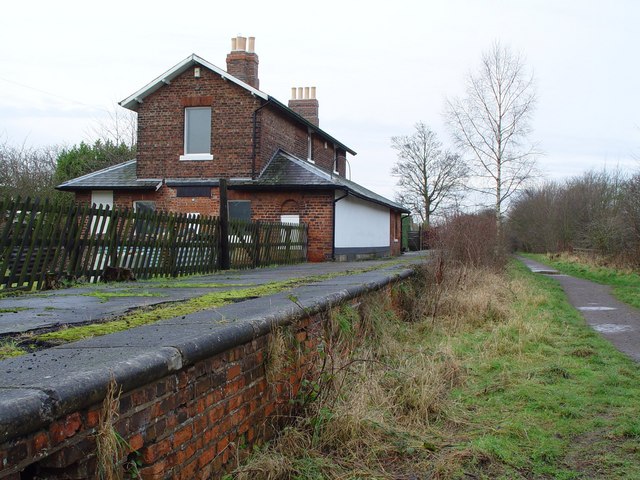
Hedon railway station
Hedon railway station is a disused railway station on the North Eastern Railway's Hull and Holderness Railway on the northern edge of Hedon in the East...
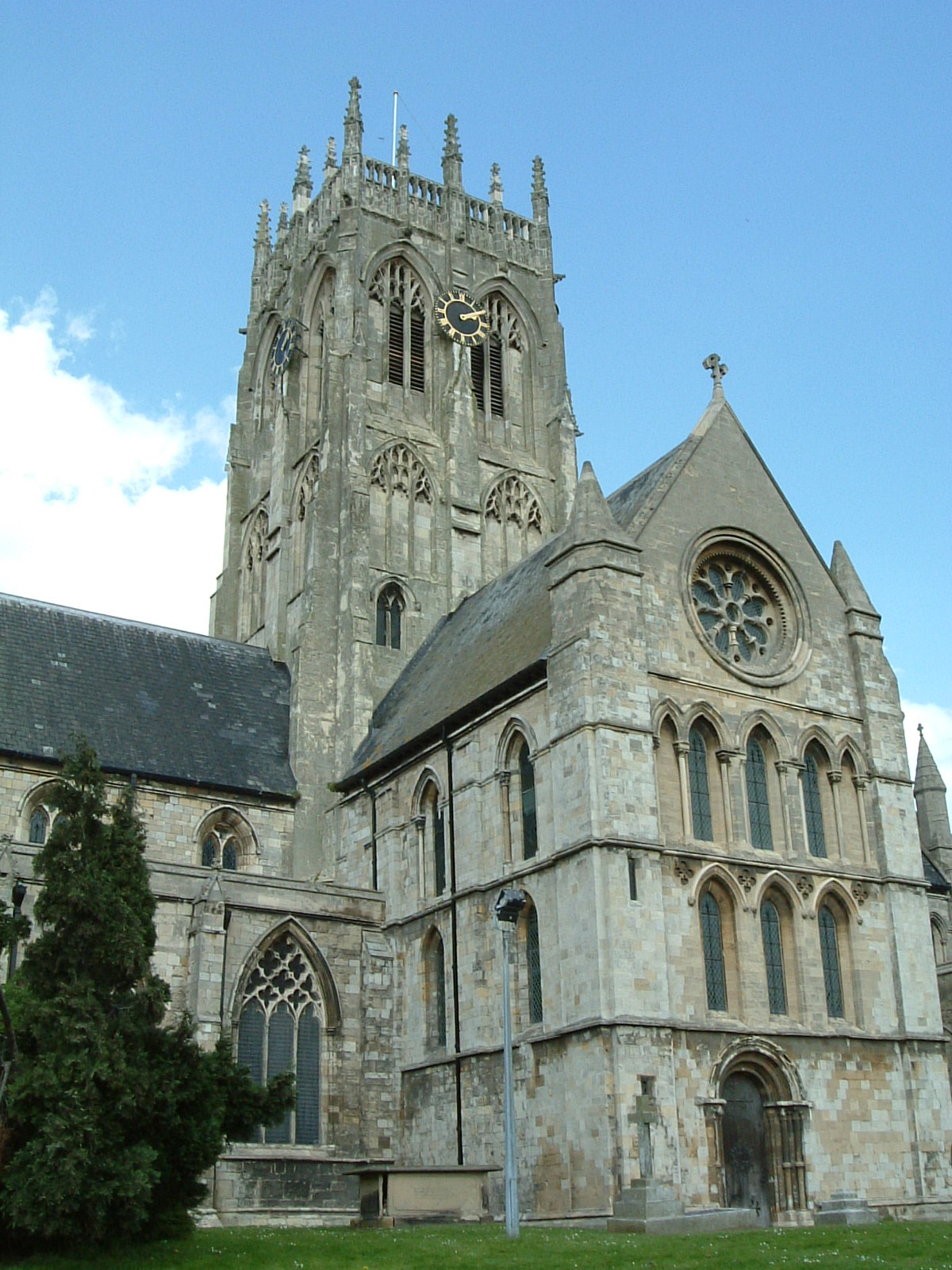
St Augustine's Church, Hedon
St Augustine's Church is a Church of England parish church located in Hedon, East Riding of Yorkshire, England. The church is a Grade I listed building...

Hedon Town Hall
Hedon Town Hall is a municipal building in St Augustine's Gate, Hedon, East Riding of Yorkshire, England. The building, which is the meeting place of Hedon...
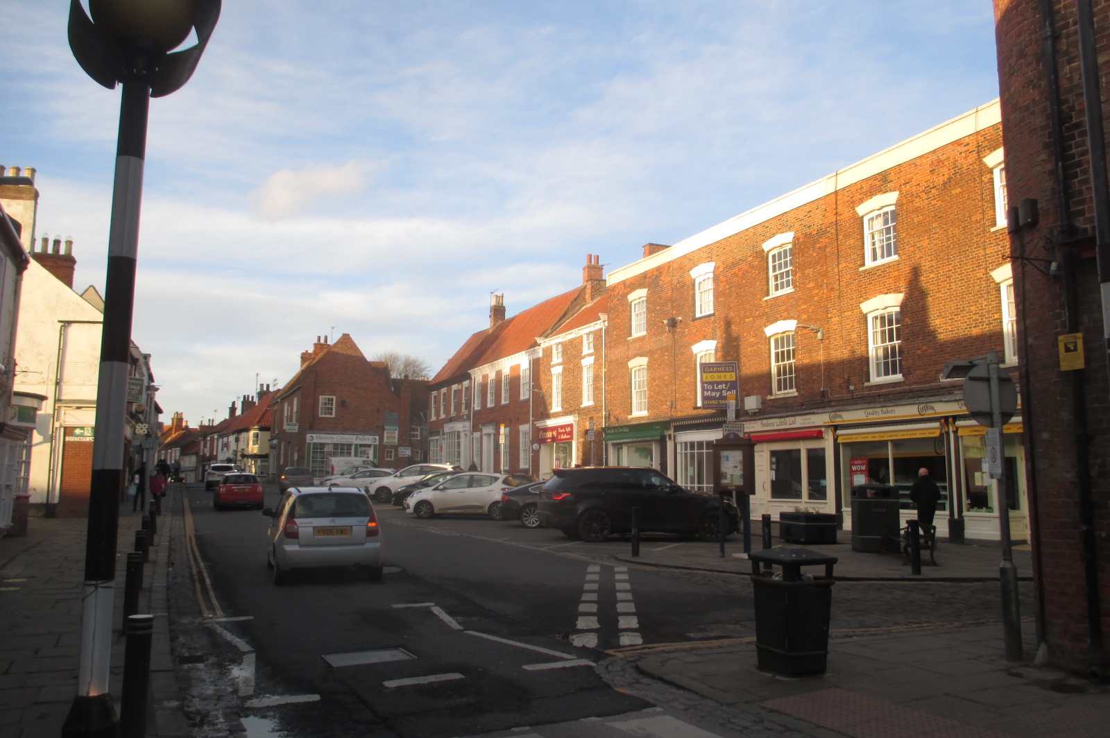
Hedon
Hedon is a town and civil parish in Holderness in the East Riding of Yorkshire, England. It is situated approximately 5 miles (8 km) east of Hull city...
Nearby Amenities
Located within 500m of 53.747414,-0.19864252Have you been to St Sepulchre's Hill?
Leave your review of St Sepulchre's Hill below (or comments, questions and feedback).