Lackford
Civil Parish in Suffolk St Edmundsbury
England
Lackford
Lackford is a civil parish located in the county of Suffolk, England. It is situated approximately 5 miles northwest of Bury St Edmunds and covers an area of around 6 square miles. The village of Lackford is the main settlement within the parish and is home to a small population.
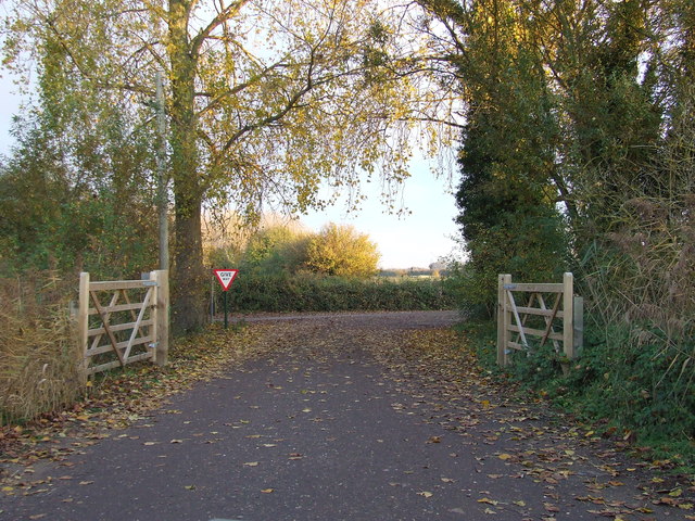
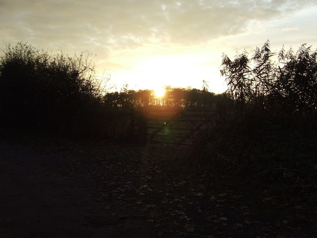
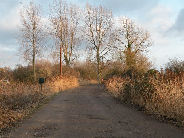
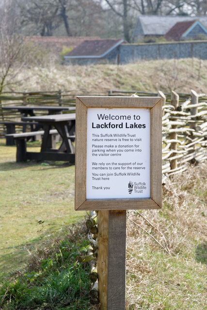
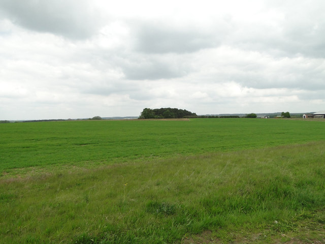
Lackford is known for its picturesque surroundings, with an abundance of natural beauty. The parish is bordered by the Lackford Lakes Nature Reserve, which is a popular attraction for nature enthusiasts and birdwatchers. The reserve consists of a series of freshwater lakes, reed beds, and meadows, providing a haven for a wide variety of bird species, including kingfishers, bitterns, and ospreys.
In addition to its natural attractions, Lackford is also home to Lackford Hall, a Grade II listed building. The hall dates back to the 16th century and has a rich history. It is currently used as a residential property.
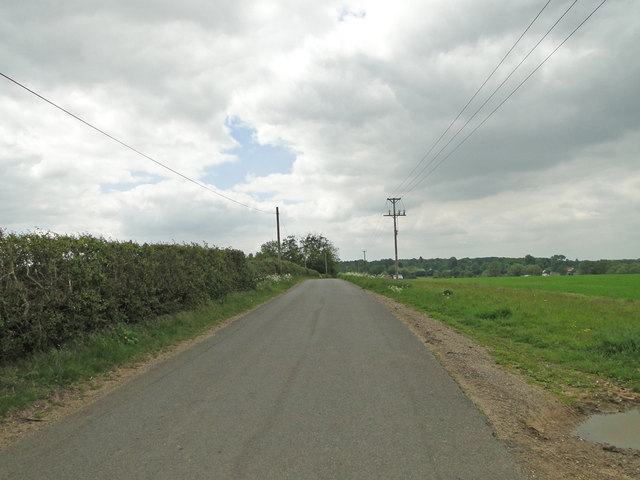
Lackford offers a peaceful and tranquil environment, making it an ideal place for those seeking a quiet countryside retreat. The village has limited amenities, with a few small businesses and a village hall. However, the nearby town of Bury St Edmunds provides a wider range of services and facilities.
Overall, Lackford is a charming and idyllic parish, renowned for its natural beauty and tranquil atmosphere. It offers a perfect escape from the hustle and bustle of city life, allowing visitors and residents to immerse themselves in the serenity of the Suffolk countryside.
If you have any feedback on the listing, please let us know in the comments section below.
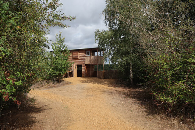
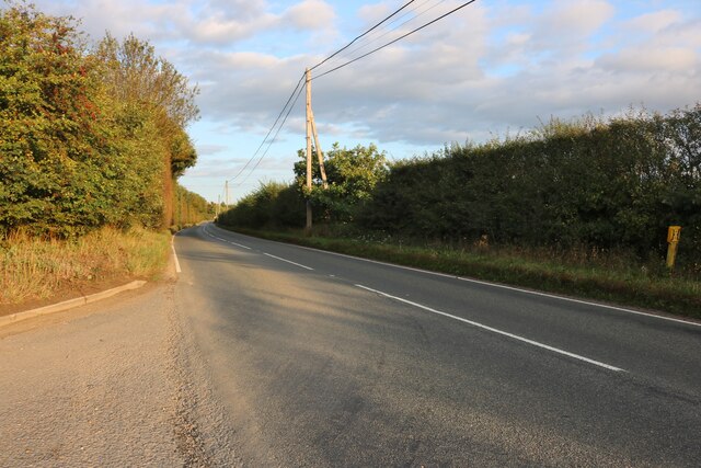
Lackford Images
Images are sourced within 2km of 52.297023/0.617766 or Grid Reference TL7869. Thanks to Geograph Open Source API. All images are credited.
Lackford is located at Grid Ref: TL7869 (Lat: 52.297023, Lng: 0.617766)
Administrative County: Suffolk
District: St Edmundsbury
Police Authority: Suffolk
What 3 Words
///about.basically.racetrack. Near Bury St Edmunds, Suffolk
Nearby Locations
Related Wikis

Lackford
Lackford is a village and civil parish in the West Suffolk district of Suffolk in eastern England. Located around four miles north-west of Bury St Edmunds...

Black Ditches, Cavenham
Black Ditches is an earthwork close to the village of Cavenham of Suffolk, and part of it is a biological Site of Special Scientific Interest (SSSI). The...

Lackford Lakes
Lackford Lakes is a 105.8-hectare (261-acre) biological Site of Special Scientific Interest (SSSI) north and east of Lackford in Suffolk. The SSSI is part...

West Stow Heath
West Stow Heath is a 44.3-hectare (109-acre) biological Site of Special Scientific Interest west of West Stow in Suffolk. It is part of the Breckland Special...

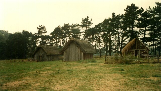
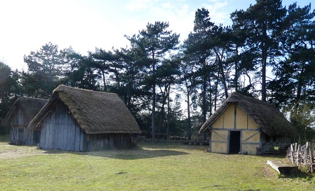
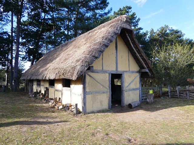
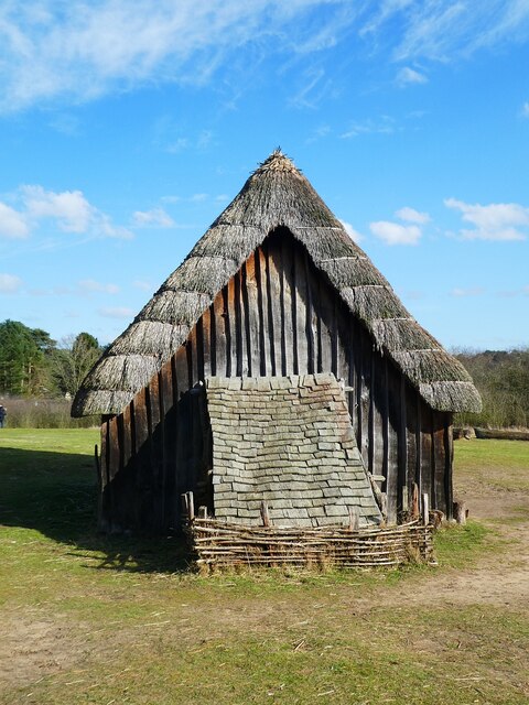
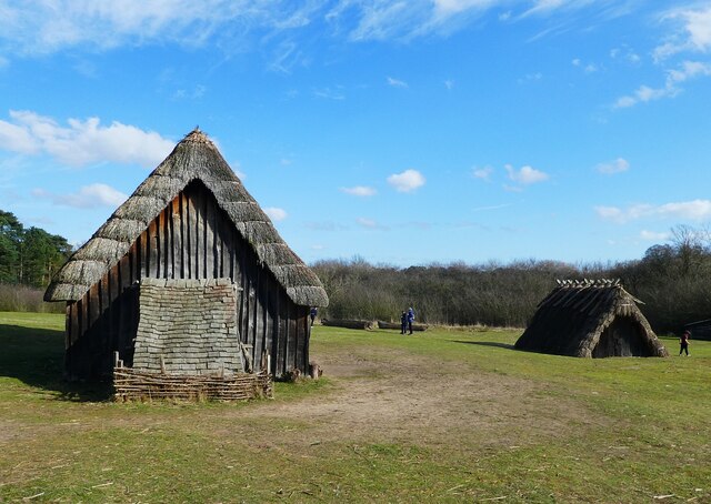
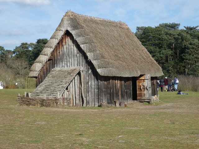
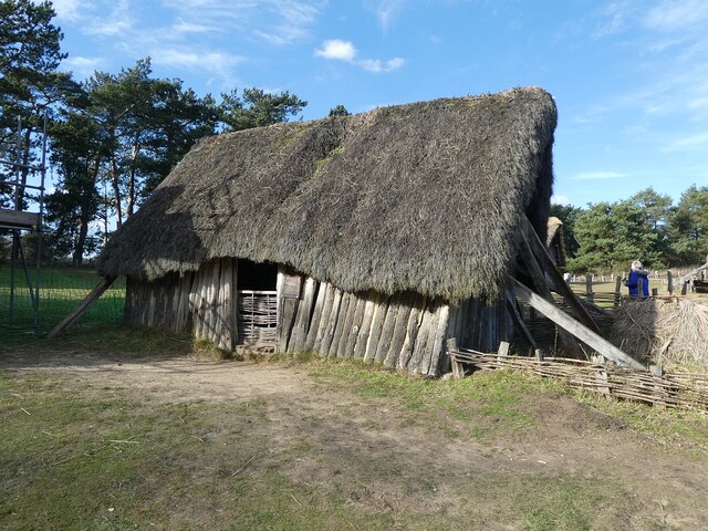
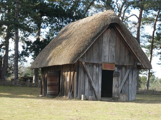
West Stow Anglo-Saxon Village
West Stow Anglo-Saxon Village is an archaeological site and an open-air museum located near to West Stow in Suffolk, eastern England. Evidence for intermittent...

Flempton
Flempton is a village and civil parish in the West Suffolk district of Suffolk, England. It is on the A1101 road 5 miles NW from Bury St Edmunds. Flempton...

Cavenham
Cavenham is a village and civil parish in Suffolk, England, 10 kilometres (6 mi) northwest of Bury St Edmunds. It is in the local government district of...

Icklingham
Icklingham is a village and civil parish in the West Suffolk district of Suffolk in eastern England. It is located about 7 miles (11 km) north-west of...
Nearby Amenities
Located within 500m of 52.297023,0.617766Have you been to Lackford?
Leave your review of Lackford below (or comments, questions and feedback).