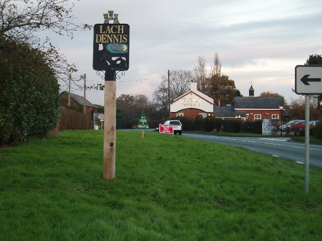
Lach Dennis

Civil Parish in Cheshire

England

Lach Dennis

New Farm, Patmos Lane, Nether Peover Another photo right on a Grid line!!
New Farm, Patmos Lane, Nether Peover Credit: Ian Warburton

Lach Dennis is a civil parish located in the county of Cheshire, England. It is situated approximately 3 miles east of the town of Northwich and covers an area of around 4 square miles. The parish is part of the borough of Cheshire West and Chester.

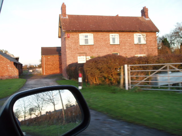
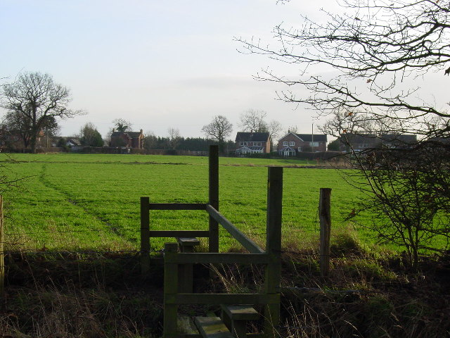
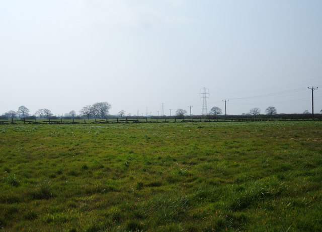
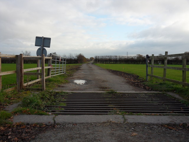
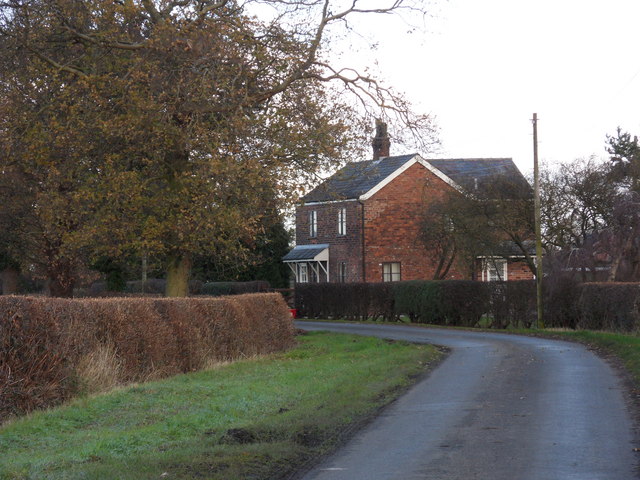
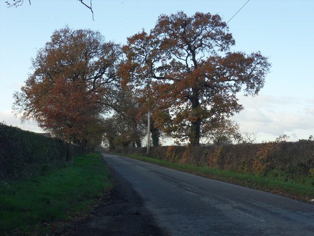
Lach Dennis is a rural area characterized by its picturesque landscapes and countryside charm. The parish is predominantly agricultural, with a mix of farmland and small residential areas. The local economy is mainly centered around farming and agriculture-related businesses.

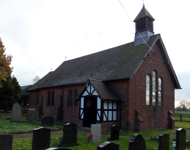
The parish is home to a small but close-knit community. It has a population of around 700 residents, according to the latest census data. The village itself is quaint and consists of a scattering of houses and cottages, some of which date back several centuries.

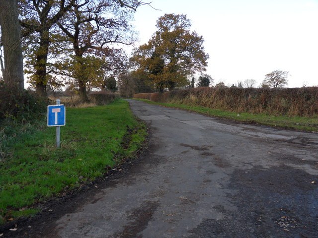
Lach Dennis is surrounded by beautiful countryside, making it an ideal place for outdoor activities such as walking, hiking, and cycling. The village is also close to several nature reserves and parks, providing ample opportunities for wildlife enthusiasts and nature lovers.

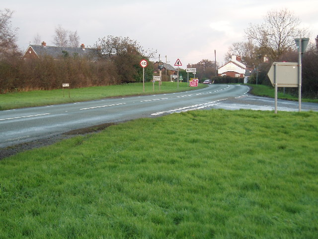
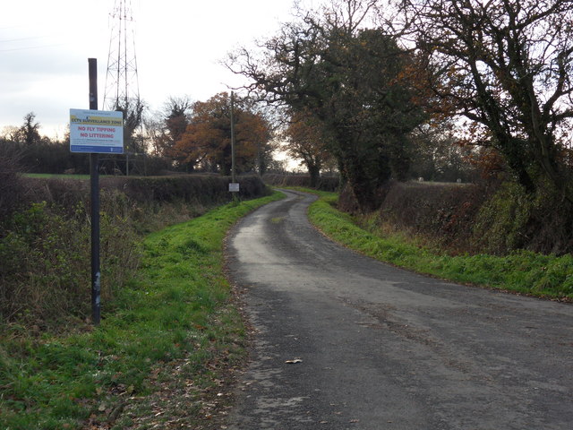
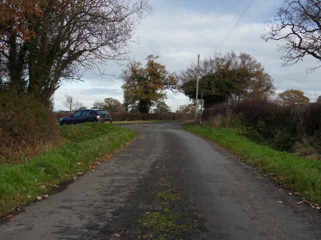
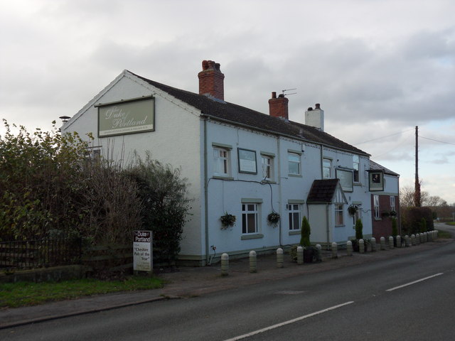
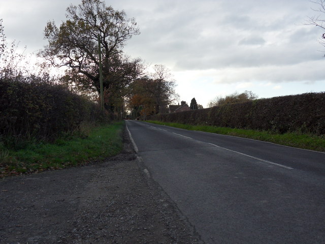
In terms of amenities, Lach Dennis has a village hall, a primary school, and a local pub. The parish is well-connected by road, with easy access to nearby towns and cities such as Northwich, Knutsford, and Manchester.

Overall, Lach Dennis offers a peaceful and idyllic setting for those seeking a rural lifestyle while still being within reach of urban amenities.

If you have any feedback on the listing, please let us know in the comments section below.
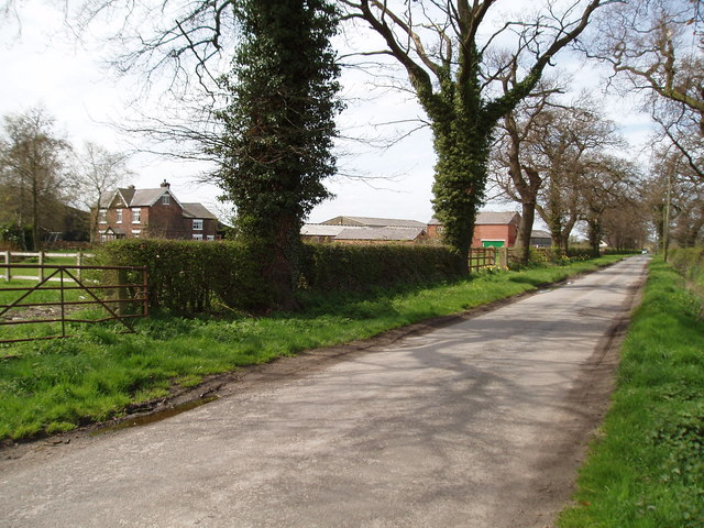
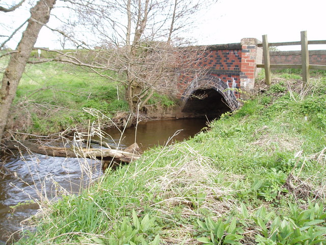
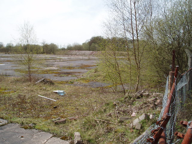
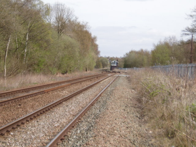
Lach Dennis Images

Images are sourced within 2km of 53.250072/-2.447913 or Grid Reference SJ7072. Thanks to Geograph Open Source API. All images are credited.

New Farm, Patmos Lane, Nether Peover Another photo right on a Grid line!!
New Farm, Patmos Lane, Nether Peover
Another photo right on a Grid line!!
Junction of Crowder's Lane & Penny's Lane Crowder's Lane is to the right, Penny's Lane being the main road (from Northwich to the A50 (London Road)).
Junction of Crowder's Lane & Penny's Lane
Crowder's Lane is to the right, Penny's Lane being the main road (from Northwich to the A50 (London Road)).
Lach Dennis & The Duke of Portland Public house Looking E from Penny's lane (B5082)
Lach Dennis & The Duke of Portland Public house
Looking E from Penny's lane (B5082)
Footpath north of Lach Dennis This footpath runs north from  Lach Dennis to Hulse Farm as passes on the way several brine pumps.
Footpath north of Lach Dennis
This footpath runs north from Lach Dennis to Hulse Farm as passes on the way several brine pumps.
Hulse House Farm, Hulse Lane, near Lach Dennis
Bridge over Crow Brook, Moss Lane, Nr Lostock Green Looking north, to the south Moss Lane joins Hangmans Lane.
Bridge over Crow Brook, Moss Lane, Nr Lostock Green
Looking north, to the south Moss Lane joins Hangmans Lane.
Site of Associated Octel chemical works The Chemical Works on this site used to produce the anti-knock additive (based on lead) which was added to petrol. It was distributed from this site by rail to the UK refineries, and to Liverpool for export overseas. But then along came unleaded petrol hence no more chemical works!
Site of Associated Octel chemical works
The Chemical Works on this site used to produce the anti-knock additive (based on lead) which was added to petrol. It was distributed from this site by rail to the UK refineries, and to Liverpool for export overseas. But then along came unleaded petrol hence no more chemical works!
Plumley West Signal box
Farmland near Lach Dennis, Cheshire Looking southwest from a point on Holmes Chapel Road (B5082) along a line of pylons. The village of Lach Dennis is less than a kilometre to the west.
Farmland near Lach Dennis, Cheshire
Looking southwest from a point on Holmes Chapel Road (B5082) along a line of pylons. The village of Lach Dennis is less than a kilometre to the west.
CCTV Surveillance Road off Crowder's Lane leading to Marsh Farm, near Lach Dennis.
CCTV Surveillance
Road off Crowder's Lane leading to Marsh Farm, near Lach Dennis.
Marsh Junction Lane leading from Marsh Farm joining Crowder's Lane, near Lach Dennis.
Marsh Junction
Lane leading from Marsh Farm joining Crowder's Lane, near Lach Dennis.
Open Porch Lach Dennis church.
Open Porch
Lach Dennis church.
Portland Duke The Duke of Portland public house, Lach Dennis.
Portland Duke
The Duke of Portland public house, Lach Dennis.
Cattle Gridded Access road to Hulme Hall off Common Lane, Lach Dennis.
Cattle Gridded
Access road to Hulme Hall off Common Lane, Lach Dennis.
Common Road Common Lane view West to Lach Dennis.
Common Road
Common Lane view West to Lach Dennis.
Tee Road Dead end lane leading to Cape of Good Hope Farm, near Lach Dennis.
Tee Road
Dead end lane leading to Cape of Good Hope Farm, near Lach Dennis.
On The Curve Country lane dwelling, near Lach Dennis.
On The Curve
Country lane dwelling, near Lach Dennis.
Hulse Lane
Hulse Lane
Show me another place!

Lach Dennis is located at Grid Ref: SJ7072 (Lat: 53.250072, Lng: -2.447913)

Unitary Authority: Cheshire West and Chester

Police Authority: Cheshire

What 3 Words

///searching.trucked.enlighten. Near Marston, Cheshire

Nearby Locations

Lach Dennis

Related Wikis

Lach Dennis

Lach Dennis is a village in the civil parish of Lach Dennis and Lostock Green, in the unitary authority area of Cheshire West and Chester and the ceremonial...

A556 road

The A556 is a road in England which extends from the village of Delamere in Cheshire West and Chester to the Bowdon Interchange in Cheshire East, bordering...

Lostock Gralam

Lostock Gralam ( GRAY-ləm) is a village and civil parish in Cheshire, England, east of Northwich. The civil parish also includes the small hamlet of Lostock...

Hulme Hall, Allostock

Hulme Hall is a house on a moated site in the parish of Allostock, Cheshire, England. It originated in the 15th century, with additions and alterations...

Nearby Amenities

Located within 500m of 53.250072,-2.447913
Description: Historical Location Marker
Information: guidepost
Tourism: information
Lat/Long: 53.2536465/-2.446423
Power: pole
Lat/Long: 53.2534264/-2.4440007
Power: pole
Lat/Long: 53.252876/-2.4427173
Barrier: cattle_grid
Lat/Long: 53.2503797/-2.4467002
The data included in this document is from www.openstreetmap.org. The data is made available under ODbL.

Have you been to Lach Dennis?

Leave your review of Lach Dennis below (or comments, questions and feedback).