Intercommon Heath

Downs, Moorland in Suffolk West Suffolk

England

Intercommon Heath

Bury Road at the entrance to Lackford Lakes
Bury Road at the entrance to Lackford Lakes Credit: David Howard

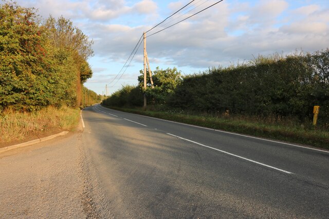
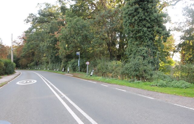
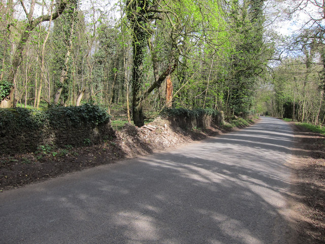
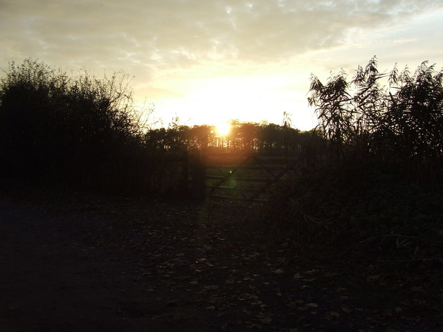
Intercommon Heath is a picturesque area located in Suffolk, England, encompassing both Downs and Moorland landscapes. It is a popular destination for nature enthusiasts and hikers due to its diverse range of flora and fauna.

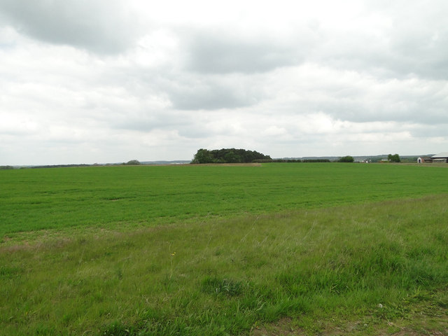
The heathland, known for its unique and delicate ecosystems, is characterized by open, grassy areas interspersed with patches of dense gorse and heather. This creates a stunning visual contrast, especially during the blooming season when the heath is adorned with vibrant purple and yellow hues.

The area is home to a variety of wildlife species, including rare birds such as the stonechat and Dartford warbler. Visitors may also spot reptiles like adders and slow worms, as well as various species of butterflies and dragonflies. The heathland is carefully managed to preserve these habitats and ensure the survival of these species.

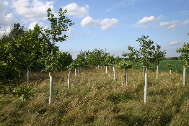
In addition to the heathland, Intercommon Heath boasts extensive moorland areas. Moorland landscapes are characterized by vast expanses of open, treeless land dominated by heather and grasses. These areas provide a habitat for unique plant species like cotton grass and cranberry, which thrive in the acidic soil conditions.

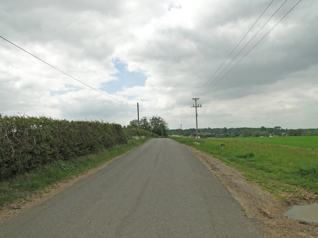
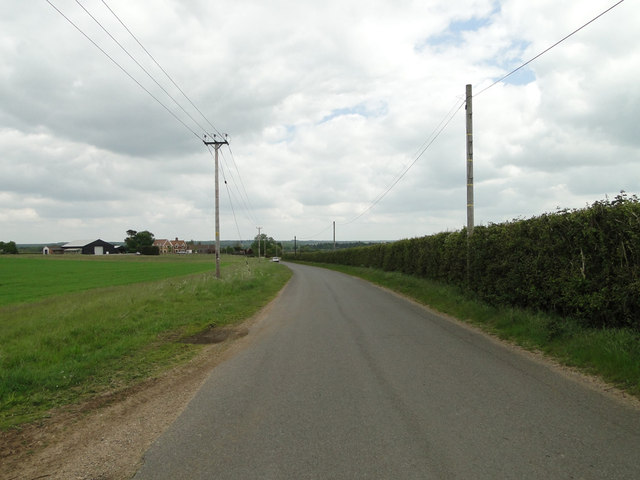
Intercommon Heath offers a range of recreational activities for visitors, including hiking, birdwatching, and photography. Several well-marked trails allow visitors to explore the diverse landscapes and take in the stunning views. Interpretive panels and guided walks are also available to provide visitors with a deeper understanding of the area's natural heritage.

Overall, Intercommon Heath in Suffolk is a haven for nature lovers, offering a unique combination of heathland and moorland landscapes, abundant wildlife, and recreational opportunities for all.

If you have any feedback on the listing, please let us know in the comments section below.

Intercommon Heath Images

Images are sourced within 2km of 52.294465/0.6123814 or Grid Reference TL7869. Thanks to Geograph Open Source API. All images are credited.

Bury Road at the entrance to Lackford Lakes
Bury Road, Lackford
Bury Road, Lackford
Church of St Andrew, Cavenham At the southern end of the village.
Church of St Andrew, Cavenham
At the southern end of the village.
Cavenham Park boundary wall Collapsed in a few places.
Cavenham Park boundary wall
Collapsed in a few places.
Sunset Sunset near to Lackford, suffolk.
Sunset
Sunset near to Lackford, suffolk.
Wheatfield near Bunker's Barn
Icknield Way between Lackford and Cavenham
Risby Poor's Heath A line of poplars at the wonderfully-named Risby Poor's Heath.  Presumably this was where the local paupers either lived, or were buried.
Risby Poor's Heath
A line of poplars at the wonderfully-named Risby Poor's Heath. Presumably this was where the local paupers either lived, or were buried.
New oaks at Risby A small plantation of oaks just off the track leading from Risby to Lackford, the only significant feature in a bleak square of open farmland.
New oaks at Risby
A small plantation of oaks just off the track leading from Risby to Lackford, the only significant feature in a bleak square of open farmland.
Black Ditches, near Cavenham This Anglo-Saxon earthwork runs in a north-south direction for about two kilometres. Wikipedia says, "It is the most easterly of the five earthworks of the Wuffings kingdom that defended the ancient road of Icknield Way, the others being Devil's Dyke, Fleam Dyke, Bran ditch and Brent Ditch. It is not as well preserved as the western defences, and unlike these other earthworks, access to the Black Ditches is limited, with no public right of way. It is therefore best viewed from the public road."  This view was not from the public road, but alongside the earthwork.
Black Ditches, near Cavenham
This Anglo-Saxon earthwork runs in a north-south direction for about two kilometres. Wikipedia says, "It is the most easterly of the five earthworks of the Wuffings kingdom that defended the ancient road of Icknield Way, the others being Devil's Dyke, Fleam Dyke, Bran ditch and Brent Ditch. It is not as well preserved as the western defences, and unlike these other earthworks, access to the Black Ditches is limited, with no public right of way. It is therefore best viewed from the public road." This view was not from the public road, but alongside the earthwork.
Cavenham Church The parish church of St Andrew, Cavenham, Suffolk.
Cavenham Church
The parish church of St Andrew, Cavenham, Suffolk.
Lackford Lake Home of the St Edmundsbury Sailing and Canoeing Association, as well as a nature reserve.
Lackford Lake
Home of the St Edmundsbury Sailing and Canoeing Association, as well as a nature reserve.
Lackford Lane Looking south along this drivable sandy track which leads to Risby.
Lackford Lane
Looking south along this drivable sandy track which leads to Risby.
Sailing clubhouse at Lackford The clubhouse for the St Edmundsbury Sailing and Canoeing Association (SESCA), at Lackford Lakes.
Sailing clubhouse at Lackford
The clubhouse for the St Edmundsbury Sailing and Canoeing Association (SESCA), at Lackford Lakes.
Footpath to Lackford This footpath leads from near Cavenham to Lackford, in Suffolk.  The wood ahead is known as Great Plantation.
Footpath to Lackford
This footpath leads from near Cavenham to Lackford, in Suffolk. The wood ahead is known as Great Plantation.
Track to Lackford Estate This is a private track leading to the Lackford Estate, which is a large area of farmland between Lackford and Tuddenham. The photo is taken from the road between Cavenham and Lackford, which is part of the ancient Icknield Way.
Track to Lackford Estate
This is a private track leading to the Lackford Estate, which is a large area of farmland between Lackford and Tuddenham. The photo is taken from the road between Cavenham and Lackford, which is part of the ancient Icknield Way.
Crossroads in the country A crossing of tracks and footpaths, south of Lackford.  The 'hill' ahead is a reservoir.
Crossroads in the country
A crossing of tracks and footpaths, south of Lackford. The 'hill' ahead is a reservoir.
Show me another place!

Intercommon Heath is located at Grid Ref: TL7869 (Lat: 52.294465, Lng: 0.6123814)

Administrative County: Suffolk

District: West Suffolk

Police Authority: Suffolk

What 3 Words

///scale.investors.watching. Near Bury St Edmunds, Suffolk

Related Wikis

Black Ditches, Cavenham

Black Ditches is an earthwork close to the village of Cavenham of Suffolk, and part of it is a biological Site of Special Scientific Interest (SSSI). The...

Lackford

Lackford is a village and civil parish in the West Suffolk district of Suffolk in eastern England. Located around four miles north-west of Bury St Edmunds...

Cavenham

Cavenham is a village and civil parish in Suffolk, England, 10 kilometres (6 mi) northwest of Bury St Edmunds. It is in the local government district of...

Lackford Lakes

Lackford Lakes is a 105.8-hectare (261-acre) biological Site of Special Scientific Interest (SSSI) north and east of Lackford in Suffolk. The SSSI is part...

West Stow Heath

West Stow Heath is a 44.3-hectare (109-acre) biological Site of Special Scientific Interest west of West Stow in Suffolk. It is part of the Breckland Special...

Icklingham

Icklingham is a village and civil parish in the West Suffolk district of Suffolk in eastern England. It is located about 7 miles (11 km) north-west of...

West Stow Anglo-Saxon Village

West Stow Anglo-Saxon Village is an archaeological site and an open-air museum located near to West Stow in Suffolk, eastern England. Evidence for intermittent...

Flempton

Flempton is a village and civil parish in the West Suffolk district of Suffolk, England. It is on the A1101 road 5 miles NW from Bury St Edmunds. Flempton...

Nearby Amenities

Located within 500m of 52.294465,0.6123814
Power: pole
Lat/Long: 52.296325/0.6118897
Power: pole
Lat/Long: 52.2931901/0.61344
Power: pole
Lat/Long: 52.298405/0.6103877
Power: pole
Lat/Long: 52.2974519/0.6113372
Power: pole
Lat/Long: 52.2952965/0.6124101
Power: pole
Lat/Long: 52.290977/0.6130565
Power: pole
Lat/Long: 52.2942532/0.6129197
Power: pole
Lat/Long: 52.2920746/0.613263
The data included in this document is from www.openstreetmap.org. The data is made available under ODbL.

Have you been to Intercommon Heath?

Leave your review of Intercommon Heath below (or comments, questions and feedback).