Cuckoo Hill

Hill, Mountain in Suffolk West Suffolk

England

Cuckoo Hill

Bury Road at the entrance to Lackford Lakes
Bury Road at the entrance to Lackford Lakes Credit: David Howard

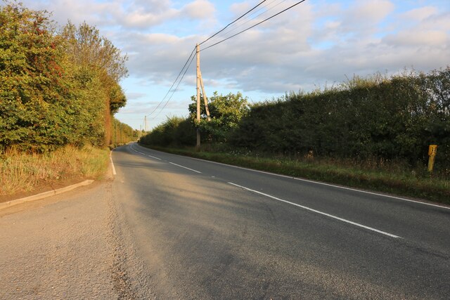
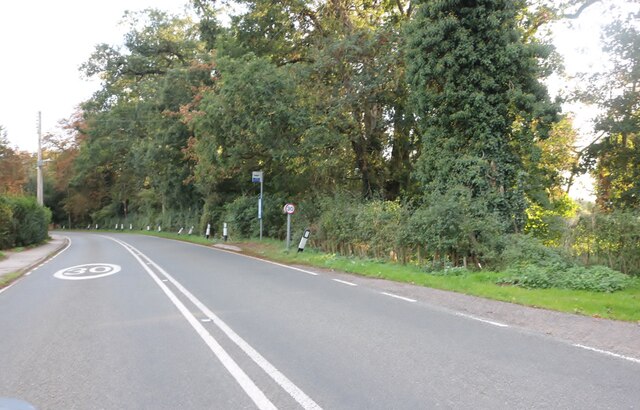
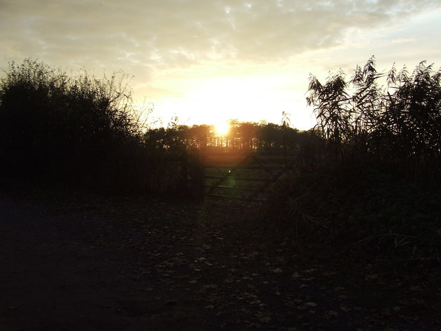
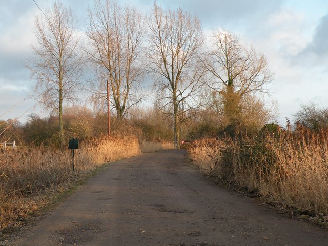
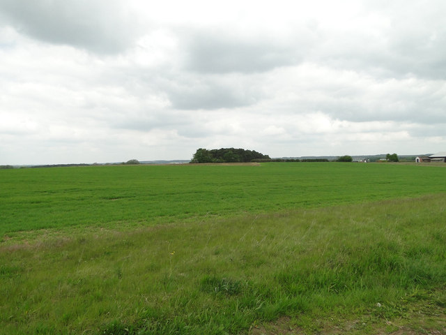
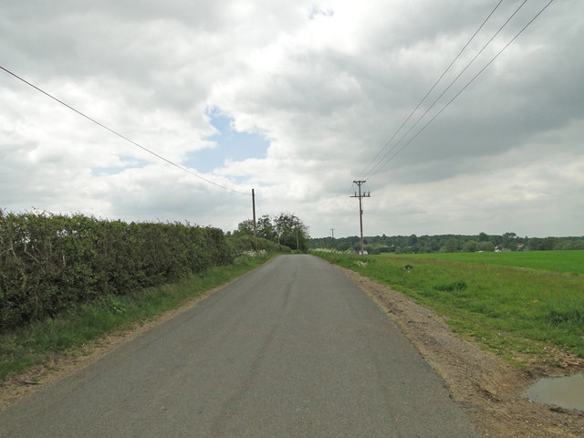
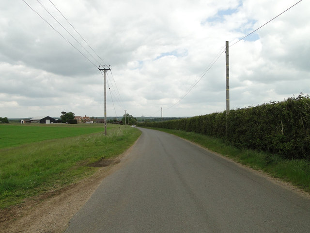
Cuckoo Hill is a small hill located in the county of Suffolk, England. Situated in the rural countryside, it is part of the larger landscape known as the Suffolk Hills, which is characterized by gentle slopes and rolling green fields.

Measuring at an elevation of around 100 meters (328 feet), Cuckoo Hill is not particularly high compared to other hills or mountains. However, it offers a picturesque view of the surrounding area, including the nearby villages and farmland.

The hill gets its name from the presence of cuckoo birds that can be heard during the spring and summer months. These migratory birds are known for their distinctive call, which has become synonymous with the arrival of warmer weather and the changing of the seasons.

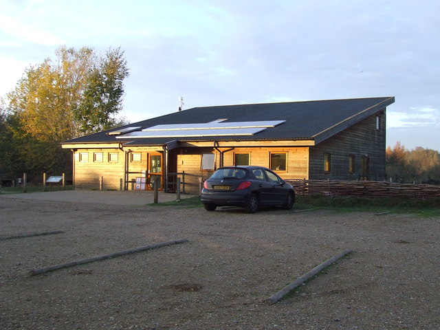
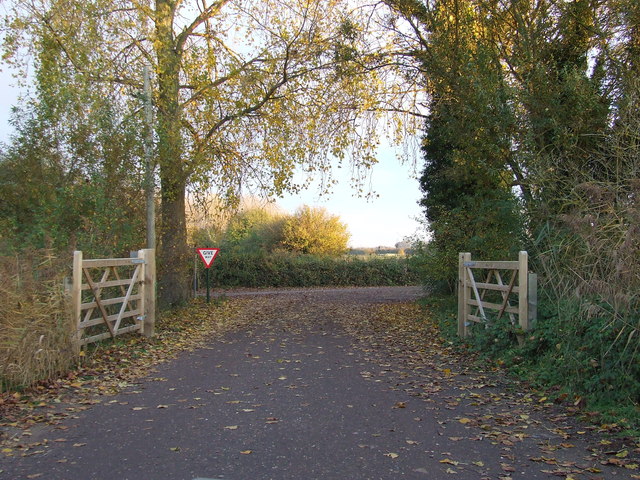
Cuckoo Hill is a popular destination for hikers and nature enthusiasts, who enjoy the tranquil setting and the opportunity to explore the countryside. There are several walking trails that lead to the summit, providing visitors with a chance to immerse themselves in the natural beauty of the area.

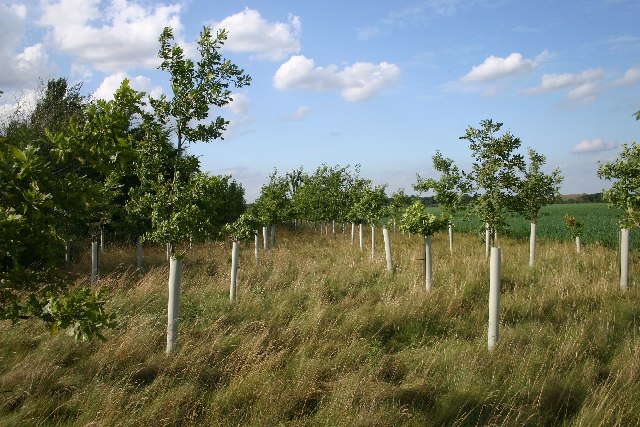
The hill is also home to a variety of wildlife, including rabbits, foxes, and numerous species of birds. The surrounding vegetation consists mainly of grasses, wildflowers, and small shrubs, creating a peaceful and idyllic environment.

Overall, Cuckoo Hill offers a charming escape from the hustle and bustle of everyday life, inviting visitors to appreciate the beauty of the Suffolk countryside and enjoy a moment of tranquility.

If you have any feedback on the listing, please let us know in the comments section below.

Cuckoo Hill Images

Images are sourced within 2km of 52.292822/0.61873766 or Grid Reference TL7869. Thanks to Geograph Open Source API. All images are credited.

Bury Road at the entrance to Lackford Lakes
Bury Road, Lackford
Bury Road, Lackford
Suffolk Wildlife Trust Visitor centre of the Suffolk Wildlife Trust at Lackford Lakes near to Lackford, Suffolk. For info about this nature reserve see <span class="nowrap"><a title="http://www.suffolkwildlifetrust.org/reserves-and-visitor-centres/lackford-lakes/" rel="nofollow ugc noopener" href="http://www.suffolkwildlifetrust.org/reserves-and-visitor-centres/lackford-lakes/">Link</a><img style="margin-left:2px;" alt="External link" title="External link - shift click to open in new window" src="https://s1.geograph.org.uk/img/external.png" width="10" height="10"/></span>
Suffolk Wildlife Trust
Visitor centre of the Suffolk Wildlife Trust at Lackford Lakes near to Lackford, Suffolk. For info about this nature reserve see LinkExternal link
Open Gates Gates at the end of the road from Suffolk Wildlife Trust at Lackford lakes near to Lackford, Suffolk.
Open Gates
Gates at the end of the road from Suffolk Wildlife Trust at Lackford lakes near to Lackford, Suffolk.
Sunset Sunset near to Lackford, suffolk.
Sunset
Sunset near to Lackford, suffolk.
Lackford Lakes Nature Reserve This picture shows part of the track that connects the visitor centre with the A1101.
Lackford Lakes Nature Reserve
This picture shows part of the track that connects the visitor centre with the A1101.
Welcome to Lackford Lakes
Wheatfield near Bunker's Barn
Icknield Way between Lackford and Cavenham
Lackford landfill site The road to the landfill site leads south off the A1101
Lackford landfill site
The road to the landfill site leads south off the A1101
Risby Poor's Heath A line of poplars at the wonderfully-named Risby Poor's Heath.  Presumably this was where the local paupers either lived, or were buried.
Risby Poor's Heath
A line of poplars at the wonderfully-named Risby Poor's Heath. Presumably this was where the local paupers either lived, or were buried.
New oaks at Risby A small plantation of oaks just off the track leading from Risby to Lackford, the only significant feature in a bleak square of open farmland.
New oaks at Risby
A small plantation of oaks just off the track leading from Risby to Lackford, the only significant feature in a bleak square of open farmland.
Black Ditches, near Cavenham This Anglo-Saxon earthwork runs in a north-south direction for about two kilometres. Wikipedia says, "It is the most easterly of the five earthworks of the Wuffings kingdom that defended the ancient road of Icknield Way, the others being Devil's Dyke, Fleam Dyke, Bran ditch and Brent Ditch. It is not as well preserved as the western defences, and unlike these other earthworks, access to the Black Ditches is limited, with no public right of way. It is therefore best viewed from the public road."  This view was not from the public road, but alongside the earthwork.
Black Ditches, near Cavenham
This Anglo-Saxon earthwork runs in a north-south direction for about two kilometres. Wikipedia says, "It is the most easterly of the five earthworks of the Wuffings kingdom that defended the ancient road of Icknield Way, the others being Devil's Dyke, Fleam Dyke, Bran ditch and Brent Ditch. It is not as well preserved as the western defences, and unlike these other earthworks, access to the Black Ditches is limited, with no public right of way. It is therefore best viewed from the public road." This view was not from the public road, but alongside the earthwork.
Lackford Lake Home of the St Edmundsbury Sailing and Canoeing Association, as well as a nature reserve.
Lackford Lake
Home of the St Edmundsbury Sailing and Canoeing Association, as well as a nature reserve.
Lackford Lane Looking south along this drivable sandy track which leads to Risby.
Lackford Lane
Looking south along this drivable sandy track which leads to Risby.
Sailing clubhouse at Lackford The clubhouse for the St Edmundsbury Sailing and Canoeing Association (SESCA), at Lackford Lakes.
Sailing clubhouse at Lackford
The clubhouse for the St Edmundsbury Sailing and Canoeing Association (SESCA), at Lackford Lakes.
Footpath to Lackford This footpath leads from near Cavenham to Lackford, in Suffolk.  The wood ahead is known as Great Plantation.
Footpath to Lackford
This footpath leads from near Cavenham to Lackford, in Suffolk. The wood ahead is known as Great Plantation.
Show me another place!

Cuckoo Hill is located at Grid Ref: TL7869 (Lat: 52.292822, Lng: 0.61873766)

Administrative County: Suffolk

District: West Suffolk

Police Authority: Suffolk

What 3 Words

///zinc.sleeper.panning. Near Bury St Edmunds, Suffolk

Related Wikis

Lackford

Lackford is a village and civil parish in the West Suffolk district of Suffolk in eastern England. Located around four miles north-west of Bury St Edmunds...

Black Ditches, Cavenham

Black Ditches is an earthwork close to the village of Cavenham of Suffolk, and part of it is a biological Site of Special Scientific Interest (SSSI). The...
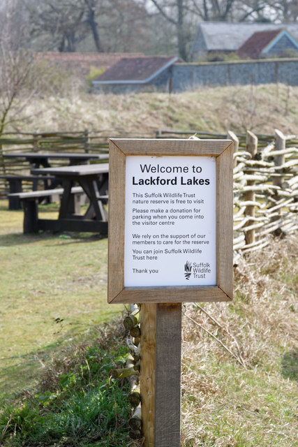
Lackford Lakes

Lackford Lakes is a 105.8-hectare (261-acre) biological Site of Special Scientific Interest (SSSI) north and east of Lackford in Suffolk. The SSSI is part...

West Stow Heath

West Stow Heath is a 44.3-hectare (109-acre) biological Site of Special Scientific Interest west of West Stow in Suffolk. It is part of the Breckland Special...

Flempton

Flempton is a village and civil parish in the West Suffolk district of Suffolk, England. It is on the A1101 road 5 miles NW from Bury St Edmunds. Flempton...

West Stow Anglo-Saxon Village

West Stow Anglo-Saxon Village is an archaeological site and an open-air museum located near to West Stow in Suffolk, eastern England. Evidence for intermittent...

Cavenham

Cavenham is a village and civil parish in Suffolk, England, 10 kilometres (6 mi) northwest of Bury St Edmunds. It is in the local government district of...

Old Broom

Old Broom is a 6.5-hectare (16-acre) nature reserve north of Risby in Suffolk. It is managed by the Suffolk Wildlife Trust.This is a remnant of an ancient...

Nearby Amenities

Located within 500m of 52.292822,0.61873766
Power: pole
Lat/Long: 52.2931901/0.61344
Power: pole
Lat/Long: 52.290977/0.6130565
Power: pole
Lat/Long: 52.2942532/0.6129197
Power: pole
Lat/Long: 52.2920746/0.613263
The data included in this document is from www.openstreetmap.org. The data is made available under ODbL.

Have you been to Cuckoo Hill?

Leave your review of Cuckoo Hill below (or comments, questions and feedback).